MFL issues Area Forecast Discussion (AFD) at Aug 4, 6:59 PM EDT ...New AVIATION... via IEMbot
Additional Details Here.
04.08.2025 23:06 — 👍 0 🔁 0 💬 0 📌 0
At 620 PM EDT, National Weather Service meteorologists were tracking
a strong thunderstorm near Devils Garden, or 7 miles west of Montura,
moving north at 5 mph.
HAZARD...Wind gusts of 45 to 50 mph.
SOURCE...Radar indicated.
IMPACT...Gusty winds could knock down tree limbs and blow around
unsecured objects.
Locations impacted include...
Clewiston, Labelle, Moore Haven, Montura, Port La Belle, Devils
Garden, Ortona, Muse, Harlem, Keri, and Lake Hicpochee.
Special Weather Statement issued August 4 at 6:20PM EDT by NWS Miami FL
Additional Details Here.
04.08.2025 22:30 — 👍 0 🔁 0 💬 0 📌 0
MFL issues A strong thunderstorm will impact portions of north central Collier, northern Hendry and southwestern Glades Counties through 645 PM EDT [wind: 50 MPH, hail: 0.00 IN] f... at Mon, 04 Aug 2025 22:20:40 +0000 via IEMbot
Additional Details Here.
04.08.2025 22:26 — 👍 0 🔁 0 💬 0 📌 0
The areas affected include...
Lake Okeechobee...
At 608 PM EDT, Doppler radar indicated a strong thunderstorm, capable
of producing winds to around 30 knots. This thunderstorm was located
near Lake Harbor. The thunderstorm was nearly stationary.
Marine Weather Statement issued August 4 at 6:08PM EDT by NWS Miami FL
Additional Details Here.
04.08.2025 22:15 — 👍 0 🔁 0 💬 0 📌 0
MFL issues A strong thunderstorm will impact portions of north central Hendry and south central Glades Counties through 615 PM EDT [wind: 50 MPH, hail: 0.00 IN]
at Mon, 04 Aug 2025 21:52:06 +0000 via IEMbot
Additional Details Here.
04.08.2025 22:06 — 👍 0 🔁 0 💬 0 📌 0
At 551 PM EDT, National Weather Service meteorologists were tracking
a strong thunderstorm over Montura, moving north at 5 mph.
HAZARD...Wind gusts of 45 to 50 mph.
SOURCE...Radar indicated.
IMPACT...Gusty winds could knock down tree limbs and blow around
unsecured objects.
Locations impacted include...
Moore Haven, Montura, Devils Garden, and Lake Hicpochee.
Special Weather Statement issued August 4 at 5:51PM EDT by NWS Miami FL
Additional Details Here.
04.08.2025 22:00 — 👍 0 🔁 0 💬 0 📌 0
MFL issues A strong thunderstorm will impact portions of northeastern Hendry, west central Palm Beach and southern Glades Counties through 600 PM EDT [wind: 50 MPH, hail: 0.00 IN] ... at Mon, 04 Aug 2025 21:35:40 +0000 via IEMbot
Additional Details Here.
04.08.2025 21:46 — 👍 0 🔁 0 💬 0 📌 0
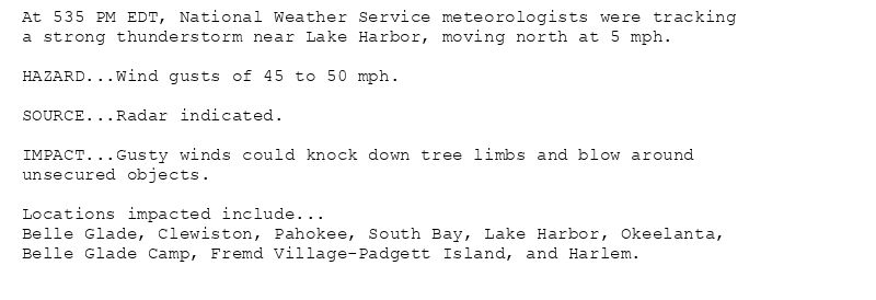
At 535 PM EDT, National Weather Service meteorologists were tracking
a strong thunderstorm near Lake Harbor, moving north at 5 mph.
HAZARD...Wind gusts of 45 to 50 mph.
SOURCE...Radar indicated.
IMPACT...Gusty winds could knock down tree limbs and blow around
unsecured objects.
Locations impacted include...
Belle Glade, Clewiston, Pahokee, South Bay, Lake Harbor, Okeelanta,
Belle Glade Camp, Fremd Village-Padgett Island, and Harlem.
Special Weather Statement issued August 4 at 5:35PM EDT by NWS Miami FL
Additional Details Here.
04.08.2025 21:45 — 👍 0 🔁 0 💬 0 📌 0
MFL issues A strong thunderstorm will impact portions of east central Hendry, northern Broward and southwestern Palm Beach Counties through 545 PM EDT [wind: 50 MPH, hail: 0.00 IN]... at Mon, 04 Aug 2025 21:12:02 +0000 via IEMbot
Additional Details Here.
04.08.2025 21:26 — 👍 0 🔁 0 💬 0 📌 0
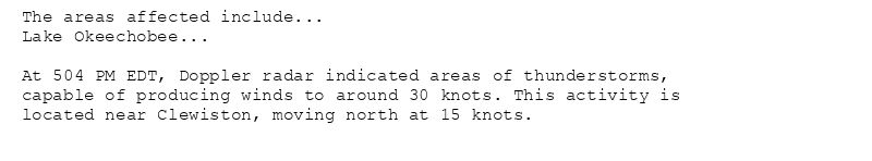
The areas affected include...
Lake Okeechobee...
At 504 PM EDT, Doppler radar indicated areas of thunderstorms,
capable of producing winds to around 30 knots. This activity is
located near Clewiston, moving north at 15 knots.
Marine Weather Statement issued August 4 at 5:05PM EDT by NWS Miami FL
Additional Details Here.
04.08.2025 21:15 — 👍 0 🔁 0 💬 0 📌 0
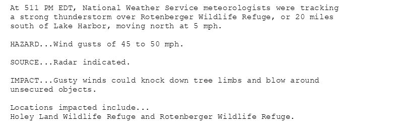
At 511 PM EDT, National Weather Service meteorologists were tracking
a strong thunderstorm over Rotenberger Wildlife Refuge, or 20 miles
south of Lake Harbor, moving north at 5 mph.
HAZARD...Wind gusts of 45 to 50 mph.
SOURCE...Radar indicated.
IMPACT...Gusty winds could knock down tree limbs and blow around
unsecured objects.
Locations impacted include...
Holey Land Wildlife Refuge and Rotenberger Wildlife Refuge.
Special Weather Statement issued August 4 at 5:11PM EDT by NWS Miami FL
Additional Details Here.
04.08.2025 21:15 — 👍 0 🔁 0 💬 0 📌 0
MIAMI Aug 4
Climate Report:
High: 92
Low: 80
Precip: 0.05"
Snow: 0.0" Snow Depth: 0"
at Mon, 04 Aug 2025 20:28:19 +0000 via IEMbot
Additional Details Here.
04.08.2025 20:46 — 👍 0 🔁 0 💬 0 📌 0
MFL issues Area Forecast Discussion (AFD) at Aug 4, 3:20 PM EDT ...New UPDATE... via IEMbot
Additional Details Here.
04.08.2025 19:26 — 👍 0 🔁 0 💬 0 📌 0
MFL issues Area Forecast Discussion (AFD) at Aug 4, 1:37 PM EDT ...New AVIATION... via IEMbot
Additional Details Here.
04.08.2025 17:46 — 👍 0 🔁 0 💬 0 📌 0
MFL expires Marine Warning for Coastal waters from Chokoloskee to Bonita Beach FL out 20 NM, Coastal waters from East Cape Sable to Chokoloskee FL out 20 NM [GM]
at Mon, 04 Aug 2025 14:27:17 +0000 via IEMbot
Additional Details Here.
04.08.2025 14:46 — 👍 0 🔁 0 💬 0 📌 0
MFL issues Marine Warning [wind: >34 KTS, hail: 0.00 IN] for Coastal waters from Chokoloskee to Bonita Beach FL out 20 NM, Coastal waters from East Cape Sable to Chokoloskee FL ... at Mon, 04 Aug 2025 14:10:27 +0000 via IEMbot
Additional Details Here.
04.08.2025 14:26 — 👍 0 🔁 0 💬 0 📌 0
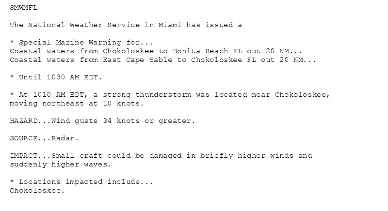
SMWMFL
The National Weather Service in Miami has issued a
* Special Marine Warning for...
Coastal waters from Chokoloskee to Bonita Beach FL out 20 NM...
Coastal waters from East Cape Sable to Chokoloskee FL out 20 NM...
* Until 1030 AM EDT.
* At 1010 AM EDT, a strong thunderstorm was located near Chokoloskee,
moving northeast at 10 knots.
HAZARD...Wind gusts 34 knots or greater.
SOURCE...Radar.
IMPACT...Small craft could be damaged in briefly higher winds and
suddenly higher waves.
* Locations impacted include...
Chokoloskee.
🚨 Special Marine Warning issued August 4 at 10:10AM EDT until August 4 at 10:30AM EDT by NWS Miami FL 🚨
Additional Details Here.
04.08.2025 14:15 — 👍 0 🔁 0 💬 0 📌 0
12 NW Parkland [Palm Beach Co, FL] Park/Forest Srvc reports Wildfire at 9:45 AM EDT -- Florida Forest Service confirms that the Rattlesnake Wildfire is now 100% contained with no v... at Mon, 04 Aug 2025 14:00:20 +0000 via IEMbot
Additional Details Here.
04.08.2025 14:06 — 👍 1 🔁 0 💬 0 📌 0
MFL issues Area Forecast Discussion (AFD) at Aug 4, 6:37 AM EDT ...New AVIATION... via IEMbot
Additional Details Here.
04.08.2025 10:46 — 👍 0 🔁 0 💬 0 📌 0
The areas affected include...
Coastal waters from Chokoloskee to Bonita Beach FL out 20 NM...
At 447 AM EDT, Doppler radar indicated a strong thunderstorm, capable
of producing winds to around 30 knots. This thunderstorm was located
near Marco Island, moving northwest at 15 knots.
Marine Weather Statement issued August 4 at 4:48AM EDT by NWS Miami FL
Additional Details Here.
04.08.2025 09:00 — 👍 0 🔁 0 💬 0 📌 0
NAPLES Aug 3
Climate Report:
High: 93
Low: 80
Precip: 0.0"
Snow: 0.0" Snow Depth: 0"
at Mon, 04 Aug 2025 08:28:38 +0000 via IEMbot
Additional Details Here.
04.08.2025 08:46 — 👍 0 🔁 0 💬 0 📌 0
MIAMI Aug 3
Climate Report:
High: 94
Low: 80
Precip: 0.0"
Snow: 0.0" Snow Depth: 0"
at Mon, 04 Aug 2025 08:28:38 +0000 via IEMbot
Additional Details Here.
04.08.2025 08:46 — 👍 0 🔁 0 💬 0 📌 0
MFL issues Area Forecast Discussion (AFD) at Aug 4, 4:07 AM EDT ...New SHORT TERM, LONG TERM, MARINE, BEACHES... via IEMbot
Additional Details Here.
04.08.2025 08:26 — 👍 0 🔁 0 💬 0 📌 0
MFL issues Heat Advisory valid at Aug 4, 11:00 AM EDT for Coastal Broward County, Coastal Miami Dade County, Coastal Palm Beach County, Far South Miami-Dade County, Glades, Hendry,... at Mon, 04 Aug 2025 07:57:07 +0000 via IEMbot
Additional Details Here.
04.08.2025 08:06 — 👍 0 🔁 0 💬 0 📌 0
* WHAT...Heat index values up to 110 expected.
* WHERE...Portions of southeast, southern, and southwest Florida.
* WHEN...From 11 AM this morning to 7 PM EDT this evening.
* IMPACTS...Hot temperatures and high humidity may cause heat
illnesses.
Heat Advisory issued August 4 at 3:56AM EDT until August 4 at 7:00PM EDT by NWS Miami FL
Additional Details Here.
04.08.2025 08:00 — 👍 1 🔁 0 💬 0 📌 0
MFL issues Area Forecast Discussion (AFD) at Aug 4, 1:10 AM EDT ...New AVIATION... via IEMbot
Additional Details Here.
04.08.2025 05:26 — 👍 0 🔁 0 💬 0 📌 0
MFL issues A strong thunderstorm will impact portions of north central Miami-Dade and southern Broward Counties through 1015 PM EDT [wind: 50 MPH, hail: 0.25 IN] for Inland Browar... at Mon, 04 Aug 2025 01:34:24 +0000 via IEMbot
Additional Details Here.
04.08.2025 01:46 — 👍 0 🔁 0 💬 0 📌 0
At 934 PM EDT, National Weather Service meteorologists were tracking
a strong thunderstorm near Intersection Krome And U.S. 27, or 10
miles west of Miramar. This storm was nearly stationary.
HAZARD...Wind gusts of 45 to 50 mph and pea size hail.
SOURCE...Radar indicated.
IMPACT...Gusty winds could knock down tree limbs and blow around
unsecured objects. Minor damage to outdoor objects is
possible.
Locations impacted include...
Pembroke Pines, Miramar, Weston, East Toll Gate On Alligator Alley,
Intersection I-75 And U.S. 27, and Intersection Krome And U.S. 27.
Special Weather Statement issued August 3 at 9:34PM EDT by NWS Miami FL
Additional Details Here.
04.08.2025 01:45 — 👍 0 🔁 0 💬 0 📌 0
MFL issues Special Weather Statement [wind: 50 MPH, hail: 0.00 IN] for Hendry, Inland Collier County, Inland Palm Beach County [FL] till 9:00 PM EDT
at Sun, 03 Aug 2025 23:54:10 +0000 via IEMbot
Additional Details Here.
04.08.2025 00:06 — 👍 0 🔁 0 💬 0 📌 0
At 753 PM EDT, National Weather Service meteorologists were tracking
strong thunderstorms along a line extending from 10 miles northwest
of Rotenberger Wildlife Refuge to near Big Cypress Seminole
Reservation. Movement was north at 10 mph.
HAZARD...Wind gusts of 45 to 50 mph.
SOURCE...Radar indicated.
IMPACT...Gusty winds could knock down tree limbs and blow around
unsecured objects.
Locations impacted include...
Big Cypress Seminole Reservation.
Special Weather Statement issued August 3 at 7:54PM EDT by NWS Miami FL
Additional Details Here.
04.08.2025 00:00 — 👍 0 🔁 0 💬 0 📌 0