Hi, thank you for coming to explore my photographic art!
Join me on my journey to improve my photography and to share the beauty of this world we are privileged to be a part of! In short, I want to bring nature to you! https://www.cschmidtphotos.com/
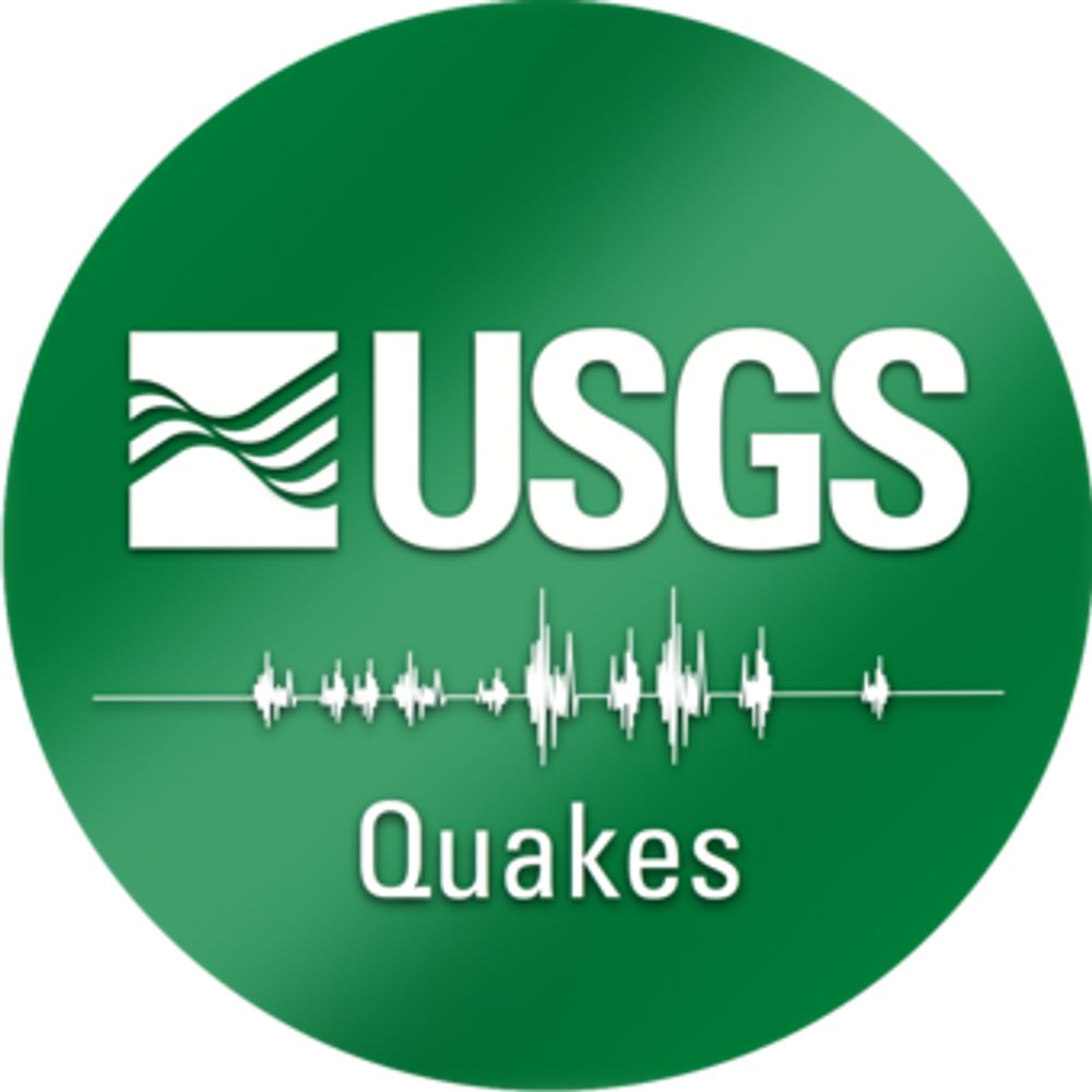
This bot pulls data from the USGS's real-time earthquake feed and posts a summary of any event in the lower 48 states having a preliminary magnitude 3.5+
made with 🫶🏼 by @DataDrivenMD.social
**NOT AFFILIATED WITH USGS**
Resources for Open Source Intelligence Investigations. Follow the Digital Bread Crumbs. #OSINT #OSINTCurious linktr.ee/osint.techniques
Leveraging #GIS to connect the dots between research, policy, and practice. cgsearth.org
The OSGeo is a not-for-profit organization whose mission is to foster global adoption of open geospatial technology by being an inclusive software foundation devoted to an open philosophy and participatory community driven development.
The Polar Geospatial Center (PGC) at the University of Minnesota provides geospatial support, mapping, and GIS/remote sensing solutions to researchers and logistics groups in the polar science community.
A global network that inspires, unites and empowers women+ in the geospatial field to become strong changemakers.
official Bluesky account (check username👆)
Bugs, feature requests, feedback: support@bsky.app