The view of the world from the top of Springback Hill

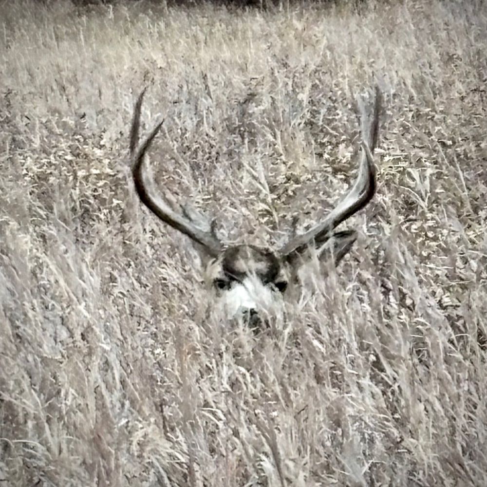
It’s been a while since we’ve come across any wildlife on our walks. Today we spotted a group of six deer hanging out near Elveden Drive SW. Here are two of them.

More pictures of big, expensive houses that you'll find up here. I'd hate to have their property bill.

One of the few remaining pieces of undeveloped land in Springbank Hill — this one sits at the corner of 26 Ave and Elveden Drive SW.
Today’s photos chronicle another round of exploring #SpringbankHill.
#Calgary #yyc
16.02.2026 23:39 — 👍 0 🔁 0 💬 0 📌 0


Today we reached the top of the hill on the eastern side of #SpringbankHill. We are now finished all streets east of 77th Street and all west of 85th Street.
www.mapmywalk.com/workout/8748...
Distance: 2.98 km Duration: 41:02 min
#Calgary #yyc
16.02.2026 23:24 — 👍 0 🔁 0 💬 0 📌 0

A view down Elmont Court SW

Walking west down Elmont Drive SW

Gazebo at the top of the steep incline in Elmont Park

Walking north up Elmont Rise SW. On the other side of the wall is 69th Street
Some pictures we took during our travels in #SpringbankHill earlier today.
#Calgary #yyc
16.02.2026 00:07 — 👍 0 🔁 0 💬 0 📌 0


Back to #SpringbankHill today for another adventure there.
www.mapmywalk.com/workout/8747...
Distance: 2.47 km Duration: 33:33 min
#Calgary #yyc
15.02.2026 23:58 — 👍 0 🔁 0 💬 0 📌 0

Seems to me that this sign at the corner of Country Hills Blvd & Country Hills Drive has seen better days

The view from a portal at the end of Country Hills View NW. In the foreground, Country Hills Golf Course. In the background, Nose Hill.

Houses on Country Hills Heights NW

Walking down Country Hills Gate NW
Our first snapshots from #CountryHills
#Calgary #yyc
15.02.2026 00:12 — 👍 0 🔁 0 💬 0 📌 0


Today we decided to take a break from the slopes of Springbank Hill and made our very first sojourn to #CountryHills
www.mapmywalk.com/workout/8747...
Distance: 4.23 km Duration: 53:51 min
#Calgary #yyc
15.02.2026 00:04 — 👍 0 🔁 0 💬 0 📌 0


We continued our march through #SpringbankHill today.
www.mapmywalk.com/workout/8746...
Distance: 2.88 km Duration: 38:25 min
#Calgary #yyc
14.02.2026 01:49 — 👍 0 🔁 0 💬 0 📌 0

Overlooked parts of Springbank Hill and Signal Hill in the background from Springbluff Heights SW

The view from the top of the stairs on Springbluff Bay SW. You can see Stoney Trail running in the distance.

Communication towers on Springbluff Point SW. Almost at the highest point on the eastern side of the community.

Walking the 34 metre drop down Elkton Drive SW towards 69 Steet, with Signal Hill on the other side
Today's picturesque moments from #SpringbankHill.
#Calgary #yyc
11.02.2026 23:52 — 👍 0 🔁 0 💬 0 📌 0


Almost reached the top of the hill during today’s expedition in #SpringbankHill.
www.mapmywalk.com/workout/8745...
Distance: 2.82 km Duration: 37:43 min
#Calgary #yyc
11.02.2026 23:44 — 👍 1 🔁 0 💬 0 📌 0

Walking south on Springback Way. Tsuut'ina Trail way in the background

Lots of boulders scattered around Springbank Hill


Hugh retaining walls between the various levels of Springbank Hill
A few moments from today in #SpringbankHill.
#Calgary #yyc
10.02.2026 23:55 — 👍 1 🔁 0 💬 0 📌 0


Today’s journey through #SpringbankHill took us along the full length of Springbank Way and Springbluff Blvd.
www.mapmywalk.com/workout/8745...
Distance: 2.51 km Duration: 34:27 min
#Calgary #yyc
10.02.2026 23:41 — 👍 0 🔁 0 💬 0 📌 0

Built in 1903, you would think this house would be the oldest house in Springbank Hill. But it isn't. It was moved 1300 km brick by brick from Winnipeg in the 1970's and rebuilt in this location.

In a park between Springbank Rise and Fortress Rise is Springbank Hill's version of Stone Hedge

A look west down Stoney Trail from a public walkway at the end of Springbank Place SW

Houses at the southern end of Springbank Hill built on levels.
Unveiling our latest visual stories from #SpringbankHill.
Today’s discoveries include 277 Fortress Manor SW — a property with a particularly interesting story behind it.
calgaryheritage.org/wp/historic-...
#Calgary #yyc
09.02.2026 23:04 — 👍 1 🔁 0 💬 0 📌 0


After a 13‑day absence, today we returned to #SpringbankHill.
Worked some of the streets on the south central part of the community.
www.mapmywalk.com/workout/8744...
Distance: 2.62 km Duration: 34:37 min
#Calgary #yyc
09.02.2026 22:29 — 👍 0 🔁 0 💬 0 📌 0

The average assessed value of residential properties in #Mahogany —including single‑detached, side‑by‑side, and duplex homes—is approximately $872,000.
#Calgary #yyc
09.02.2026 15:51 — 👍 0 🔁 0 💬 0 📌 0

#Mahogany's demographics currently align with #Calgary averages in the areas of languages spoken, indigenous identity, citizenship, visible minority, housing affordability, housing suitability and population in low income
They differ as follows:
#yyc
09.02.2026 15:50 — 👍 0 🔁 0 💬 0 📌 0

Mahogany Profile
The City of #Calgary’s community profile for #Mahogany is available here
www.calgary.ca/communities/...
#yyc
09.02.2026 15:50 — 👍 0 🔁 0 💬 0 📌 0

Construction started in the northwest corner. This is how it appeared in 2010.

By 2013, construction stretched across the northern parts of the community.

In 2019, the community was taking shape on the eastern side

Mahogany at it appears in the most recent images
#Mahogany occupies land incorporated into Calgary’s boundaries through the 1983 and 1989 annexations.
Construction of the community began in 2007 and continues in parts today.
Its population nearly doubled between the 2016 and 2021 censuses, reaching 13,860.
09.02.2026 15:42 — 👍 0 🔁 0 💬 0 📌 0

Yesterday, we finished walking all the publicly accessible residential streets in #Mahogany that have completed and occupied homes.
That brings our count to 185 completed #Calgary communities.
#yyc
09.02.2026 15:30 — 👍 1 🔁 0 💬 0 📌 0

Sunrise on Mahogany Lake #1

Sunrise on Mahogany Lake #2

Public art on the southern leg of Mahogany Lake

Walking east down Marina Grove SE
Today we got an early start to final walks in #Mahogany. Here are a few last scenes of the community.
#Calgary #yyc
08.02.2026 23:42 — 👍 0 🔁 0 💬 0 📌 0

The Mahogany Beach Club, the residents-only recreation hub for the community. Operated by the Mahogany Homeowners Association and serves as both a lakeside amenity complex and a community gathering space.

Walking down Masters Common SE

The view from the southern end of Masters Cover SE

The sun is trying its darndest on Masters Way SE.
Here’s a fresh batch of photos from our latest exploits in #Mahogany.
#Calgary #yyc
07.02.2026 00:02 — 👍 1 🔁 0 💬 0 📌 0


After our walk in #Mahogany today, our time there is nearing its end.
We covered the streets in the pinwheel right in the middle of the community.
www.mapmywalk.com/workout/8743...
Distance: 4.19 km Duration: 56:02 min
#Calgary #yyc
06.02.2026 23:45 — 👍 2 🔁 0 💬 0 📌 0
A few more moments from this morning’s wander through #Mahogany.
Nice view of the chinook arch and the grain bins from the Ollerenshaw ranch site.
#Calgary #yyc
04.02.2026 23:27 — 👍 1 🔁 0 💬 0 📌 0
A few moments from this morning’s wander through #Mahogany.
#Calgary #yyc
04.02.2026 23:22 — 👍 2 🔁 0 💬 0 📌 1


Logged another day in #Mahogany, bravely confronting its endless sidewalks like this is all perfectly normal.
www.mapmywalk.com/workout/8742...
Distance: 4.21 km Duration: 53:58 min
#Calgary #yyc
04.02.2026 23:02 — 👍 3 🔁 0 💬 0 📌 0

The view that you see when you walk west down Magnolia Manor SE

The view of Magnolia Street SE across the playground/park off of Magnolia Terrace

Houses on Magnolia Drive as seen from Magnlia Grove

Just can't seem to escape construction this winter. This from Mahogany Blvd where the completed homes end
Just another day in #Mahogany
#Calgary #yyc
04.02.2026 00:01 — 👍 0 🔁 0 💬 0 📌 0


Today's stroll in #Mahogany.
Back to the southeast corner where the houses have been recently completed.
www.mapmywalk.com/workout/8742...
Distance: 4.12 km Duration: 55:35 min
#Calgary #yyc
03.02.2026 23:54 — 👍 0 🔁 0 💬 0 📌 0
A video taken while walking the trail along the western side of the #Mahogany Wetlands earlier today.
#Calgary #yyc
03.02.2026 00:32 — 👍 0 🔁 0 💬 0 📌 0

Mahogany Lake, looking north from Marina Drive. Great skating trail and lots of hockey rinks

Mahogany Lake, looking south from Marina Drive. The skating trail continues and even more hockey rinks. Notice the grain bins from the Ollerenshaw Heritage Ranch in the distance.

There’s a statue on the east side of the Mahogany Wetlands. There’s no plaque explaining it, so I’m not sure what its significance is.

Walking eastward down Masters Avenue SE
Another one of our photo studies of #Mahogany, because apparently we’re committed to documenting every last corner.
#Calgary #yyc
02.02.2026 23:52 — 👍 0 🔁 0 💬 0 📌 0
Recovering visual journalist. Fruit stand technician. Blue Jays and baseball fan. Curling fan. Introverted homebody. Trying to make the world a better place everyday. YYC. She/her. Canadian living in Alberta.
🏳️🌈🇨🇦🇪🇪
Believer in Jesus Christ, He's the lover of my soul and savior. Blessed by this life.✝️🕊️ #Christian
Dad, blue collar, chaotic neutral gamer, mountain lover, embracist, photo taker, yyc, astro creep.
pf2e, mtg, edh
One day I'll share stories with my grandchildren about the twisted reality of end-stage capitalism.
This collection will help me remember.
Uncovering what makes people click • Husband to @collette.burjack.com • Father to 3 amazing kiddos • Growth Engineer • Hailing from YYC 👋🏻 • He/Him
She/Her
🏳️🌈 🏳️⚧️ Ally
I read
🇨🇦 Elbows are up
Calgary, Alberta, Canada
Loves a good walk 🚶♀️glass of wine 🍷 . Vegan 🌱 Ⓥ and WFPB🥗. We come into this world with nothing and leave with nothing. It’s what we do while we are here that matters. No DM’s unless you ask first.
your daily dose of bunnies ⸜(。˃ ᵕ ˂ )⸝♡
Open Source Software Developer, doing quite a bit of Forgejo development these days. My hobbies include poorly maintaining too many bicycles, running distances that are too far, GM-ing TTRPGs, and, well, more software development obviously.
(((She/Her))) Lives on indigenous land. Just watching and waiting. No DMs please. 🏳️🌈🌱🥦🔥😷 Science is real. Get vaccinated. #YYC #cPTSD #ACEs #ChronicMigraine #ChronicIllness #Fibro
🇨🇦Meta refugee. Banned by X. ELBOWS UP & RESIST FASCISM.🇺🇦 PERSIST. 🐻 cultist. sweary. autodidactic. wise arse. dudeist. neurodivergent. cptsd depressed anxious. lgbtqia2+. NERD. No dms. Live in the YEG NDP zone.
Ad guy from the north. Proud Canadian. Elbows way up. Digital marketing specialist. Mobile data enthusiast.
nerd with big dad energy.
32 y/o
he/him
She/Her.
Living on the traditional territories of the Blackfoot Confederacy, the Tsuut’ina nation, the Stoney Nakoda Nations, the Otipemisiwak Métis Government and all people who make their homes in the Treaty 7 region of Southern Alberta.
Love everything nature.. other humans, not so much. No DMs #Post immigrants. #Cats