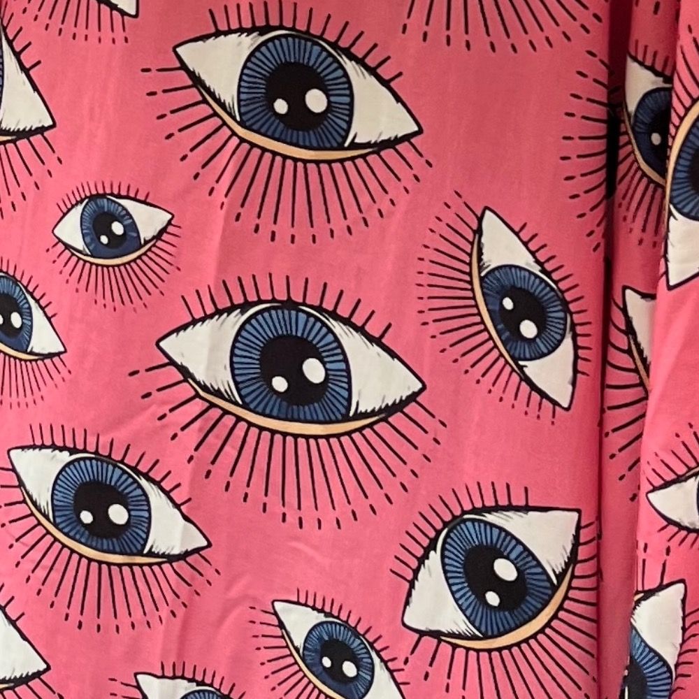
Sure, this graphic may not be the most representative of the zine. These are just 2 of the 24 pages.
08.08.2025 16:30 — 👍 1 🔁 0 💬 0 📌 0
Jupyter Community Call: September 2025
Hey Jovyans, we want to learn about the great things you’re doing with Jupyter! The Community Building working group is holding an open…
You’re invited to join the next Jupyter Community Call on September 04, 2025! Get updates from across the Jupyter ecosystem, hear talks from community members, and learn how you can get involved. It’s a great way to connect, contribute, and stay in the loop. Learn more medium.com/@rosioreyes/...
31.07.2025 15:14 — 👍 3 🔁 1 💬 0 📌 1
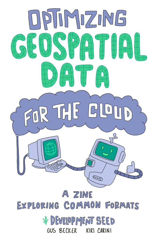
"Optimizing Geospatial Data for the Cloud"
"A zine exploring common formats"
"Development Seed"
"Gus Becker Kiri Carini"
A floating robot with one hand on a keyboard to a computer that has a glove on the screen. The other hand is giving a thumbs up.
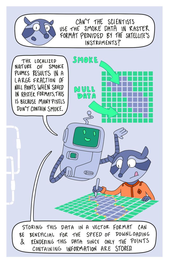
A raccoon character asking about smoke data, and a floating robot describes how vector format may be more efficient than raster in some cases.
Zines are a great tool for science communication. Earlier this year, I put one together with @kiricarini.com of @developmentseed.org.
The zine provides a visually interesting jumping off point for folks learning cloud-native geospatial data!
08.08.2025 14:41 — 👍 18 🔁 4 💬 1 📌 2
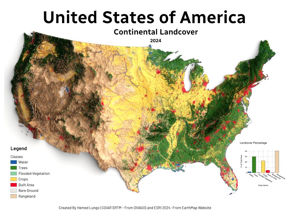
Landcover Map of U.S.A 2024
🗺️ USA Land Cover Map – 2024 🇺🇸
Made with QGIS & Blender using:
🌱 ESRI Land Cover (EarthMap)
🏔️ DEM from DivaGIS (CGIAR SRTM)
Forests, croplands, wetlands & cities — mapped to show the patterns shaping America's surface.
#USA #LandCover #QGIS #Blender #Cartography #GISChat #RemoteSensing #Map #OpenData
23.07.2025 19:41 — 👍 8 🔁 4 💬 0 📌 0
Official Bluesky account for the University of Colorado Boulder. AAU member. https://www.colorado.edu/ #CUBoulder #BeBoulder #GoBuffs #SkoBuffs
Health for everyone, everywhere.
Independent, evidence-based advisor in biomedical science, health, medicine, & related policy.
Explore groundbreaking news and research from PNAS, one of the world's most-cited scientific journals. Discover its sibling journal, @pnasnexus.org, both official journals of the National Academy of Sciences. Visit www.pnas.org for more info.
Discover groundbreaking news and research from PNAS Nexus, the sibling journal to @pnas.org - both official journals of the National Academy of Sciences. Visit www.pnasnexus.org for more information.
#Climate-related activities of the National Academies of Sciences, Engineering, and Medicine / @nationalacademies.org retweet ≠ endorsement
The Transportation Research Board, part of the National Academies of Sciences, Engineering, and Medicine, provides leadership in transportation. Home of #TRBAM
As advisors to the nation, we recognize and advance outstanding science for the benefit of society. Journals: @pnas.org and @pnasnexus.org | President: Marcia McNutt
The home for social and behavioral sciences at @nationalacademies.org. We leverage social and behavioral science research to answer key questions of importance for the research community and for decision makers at the national, state, and local levels.
The home for education at @nationalacademies.org, sharing resources and guidance for policymakers, educators, researchers, and those interested in advancing educational outcomes for all learners, in school settings and beyond.
The National Academies Eric and Wendy Schmidt Awards for Excellence in Science Communications encourages high-quality #scicomm.
https://www.nationalacademies.org/awards/excellence-in-communication
The Health and Medicine Division of the National Academies of Sciences, Engineering, and Medicine supports those in government, the private sector, and academia in making informed, evidence-based policy decisions impacting the health of all Americans.
Providing expert advice on some of the most pressing challenges facing the nation and world. Non-partisan. Non-profit. https://nationalacademies.org
GIS, Interactive & Printed Trail Maps, Data Books, Trip Planners, Snow, Wildfires, Gear Lists, Open Source, GDAL Evangelist. https://www.postholer.com, https://cloudnativemaps.com, https://femafhz.com
Earth science, Earth observation, satellite, astronomy and space nerd.
Partnerships and BD @developmentseed.org
I write code and make hot sauce in Beirut.
Director of chess things at keshmat.org
Engineer at @developmentseed.org
Send me an interesting map or recipe!
CEO @developmentseed.org
Still a big fan of Freedom, but not in a shitty way
Geospatial open source @developmentseed.org
https://github.com/gadomski
https://www.gadom.ski/