Well, it had been a long time, but I'm finally coming back on Blue Sky — absolutely didn't plan to take such a social media break. Don't think I will post as regularly as before, but I'm happy to return!
06.10.2025 23:54 — 👍 0 🔁 0 💬 0 📌 0

A ‘bad map projection’ made by the comic artist Randall Munroe for his webcomic xkcd. It's a creative mashup that combines the shapes and geographical features of both Australia and the United States into one landmass. The map maintains the general continental outline of both stats, but divides it into regions that blend Australian states/territories with US state boundaries.
Major US and Australian cities are labelled in light gray text, such as Seattle, Phoenix, Chicago, Miami, Perth, Brisbane, Sydney, Melbourne, and Canberra.
A ׅ‘bad map projection’ merging Australia with the United States. From the webcomic xkcd, made by Randall Munroe.
Original strip: xkcd.com/2999/
#map #cartography #australia #usa
17.02.2025 04:30 — 👍 2 🔁 0 💬 0 📌 0

The image is a 17th century astronomical illustration of the ‘Hypothesis Tychonica’ (the Tychonic solar system), from Hevelius' Selenographia, 1647, page 163. The Earth is at the centre of the universe (in a geocentric approach), with the Moon and Sun orbiting around the Earth. The other planets (Mercury, Venus, Mars, Jupiter, and Saturn) orbit around the Sun. The outer rim of the diagram is marked with dots representing the sphere of fixed stars ("Sphaera Fixarum"). The circles are labelled with various astronomical notations and Latin text. At the bottom of the diagram was an unclear text in Latin, who seems to be a description or an explanation of the system
#map Map/infography/representation of Tycho Brahe's mixed solar system — the Tychonic system. The Earth is immobile at the centre of the world, with the Moon and Sun revolving around it. The other planets revolve around the Sun
#physics #history #univers
10.02.2025 04:30 — 👍 2 🔁 0 💬 0 📌 0
Internet Archive: Digital Library of Free & Borrowable Texts, Movies, Music & Wayback Machine
[2/2] You can find the different albums on all major streaming services. Her first album is on archive.org: archive.org/details/1978...
03.02.2025 04:39 — 👍 0 🔁 0 💬 0 📌 0

This image shows the cover of Brian Eno's album Ambient 1: Music for Airports. The background is a section of what appears to be a topographical map. It features light yellow and green areas, suggesting varying elevations, with thin, wavy blue lines representing rivers or other waterways. There are also faint grid lines, typical of maps. In the upper left corner, the following text is present in a simple, sans-serif font: - ‘AMBIENT 1’ in a slightly larger font size; - ‘MUSIC FOR AIRPORTS’ below; - ‘BRIAN ENO’ at the bottom of the text block; - A large, green, capital ‘T’ is prominently placed towards the bottom right of the image.

This is the cover art for Ambient 2: The Plateaux of Mirror by Harold Budd and Brian Eno. Like Ambient 1, the background is a section of a topographical map. This one is predominantly light yellow and white, again suggesting varying elevations. There are more pronounced areas of white, perhaps indicating higher ground or plateaus. Winding blue lines, representing rivers or waterways, traverse the map. A distinct feature of this cover is the presence of a dotted red/orange pattern. These patterns appear along what seem to be ridge lines or contour lines on the map, possibly representing a frontier or an administrative division. In the upper left corner, the following text is present in a similar style to Ambient 1: - ‘AMBIENT 2’ in a slightly larger font size; - ‘THE PLATEAUX OF MIRROR’ below; - ‘HAROLD BUDD BRIAN ENO’ at the bottom of the text block.

This is the cover art for Ambient 3: Day of Radiance by Laraaji. Like the previous Ambient albums, this cover uses a map-like image, but with a significantly different style. It features a cross-hatched or dotted pattern in various colours, primarily pink/red, yellow/orange, and white, creating a more textured and less overtly topographical feel. The image is dominated by organic, flowing shapes and lines in white and light blue, who represent divers small lacs. In the upper left corner, the following text is present: - ‘AMBIENT 3’ in a similar font style to the previous albums; ‘DAY OF RADIANCE’ below; - ‘LARAAJI’ at the bottom of the text block.

This is the cover art for Ambient 4: On Land by Brian Eno. This cover continues the map-like theme but presents it in a more abstract and textured manner. It uses a combination of halftone patterns (small dots) in various earthy tones like browns, beige, and reddish-orange, creating a granular and almost geological feel. There are distinct shapes and lines that suggest landforms, perhaps hills, valleys, or mountains. A thin, curving blue line could represent a river or coastline. A prominent capital ‘A’ is visible in the lower right portion of the image. In the upper left corner, the following text is present: - ‘AMBIENT 4’ in a similar font style to the previous albums; - ‘ON LAND’ bellow; - ‘BRIAN ENO’ at the bottom of the text block.
#map [1/2] Do you know that cartography played a small role at the beginning of ambient music? Brian Eno, through his first ‘Ambient’ album, created and popularised the term ‘Ambient Music’. All four albums of the series use maps for their covers
#cartography #music #ambient
03.02.2025 04:39 — 👍 13 🔁 1 💬 2 📌 0

Decorator crab that has added science motifs to its shell, such as cells, proteins, crystal structures, etc. Text says: "Call for scientists! Want to collaborate with an art student on a comic about your research? Learn more & sign up by 1/30: bit.ly/comicscollabspring2025."
Seeking scientist volunteers for this spring! Want to practice science communication and help author a ✨comic✨ about your research? Learn more & sign up here by 1/30: bit.ly/comicscollabspring2025
16.01.2025 18:51 — 👍 110 🔁 80 💬 9 📌 7

The image is a hand-drawn reproduction of a Dymaxion/Fuller map projection. The overall style is reminiscent of a children's colouring book, with bold outlines and simplified shapes.
#map Nothing incredible, just a quick hand-drawn reproduction of a Dymaxion/Fuller projection. Been a long time since I've used my graphics tablet
#handdrawn #projection
27.01.2025 09:30 — 👍 0 🔁 0 💬 0 📌 0

Medieval Fantasy City Generator by watabou
Not a game
#map The ‘Medieval fantasy city generator’ is a software that automates the production of fantasy city maps. Built around a pre-determined set of options, it produces basic maps of medieval cities
watabou.itch.io/medieval-fan...
#cartography #medieval #generator #opensource
27.01.2025 04:30 — 👍 3 🔁 0 💬 0 📌 0

My three end years articles
As well as creating maps and datavisualisations, I sometimes write scientific articles. And the last few months have been very productive, ...
#news My last article is published on my blog! It’s a small presentation of the different scientific articles that I wrote during the last three months of 2024
cartodataviz.blogspot.com/2025/01/my-t...
#blog #cartography #socialscience
23.01.2025 04:30 — 👍 0 🔁 0 💬 0 📌 0

Theoretical diagram of the ‘Mappe’. It consists of a rhombus, each of whose angles refers to a concept. At the top is the ‘Mappe’ pole, defined as ‘Differentiation by place and object’. On the left is the ‘Synthetic map’ pole, defined as ‘Differentiation by object’. On the right is the ‘Analytical map’ pole, defined as ‘Differentiation by place’. At the bottom is the ‘Neither Map, nor Mappe’ pole, defined as ‘Undifferentiated’

Fundamental semiological elements of the ‘Mappe’, presented in French. The diagram is split into two parts and includes a legend identifying four types of locations:
- Places of residence (Lieux de domicile: D1, D2)
- Workplaces (Lieux de travail: T1, T2)
- Leisure locations (Lieux de loisir: L1, L2)
- Shopping areas (Lieux d'achats: A1, A2)
The size of each symbol is proportional to the duration of stay at each location, as indicated in the legend. Individual A's spaces are shown on the left side, while Individual B's are on the right.

Exemplification of ‘Mappe’ based on the various semiological elements of ‘Mappe’. Through a spatial analysis diagram showing the daily activity spaces of two individuals (A and B)y. The diagram is divided into two parts:
a) Shows separate "mappes" for individuals A and B
b) Displays the combined space of both individuals' practices, showing how their activity spaces relate to each other.
The legend, common to the two “mapps”, represent different location (- Homes (D1, D2) shown as horizontal lines; - Workplaces (T1, T2) shown as vertical lines; - Leisure places (L1, L2) shown as diagonal hatching; - Shopping areas (A1, A2) shown as cross-hatched squares) and different boundary types (- Individual areas; - Differentiated areas; - Intersecting areas). The symbols' sizes are proportional to the duration of stay at each location.

The “mappe” of a Villejean resident compared with the maps of the Rennes commune and its nearby rural area. It shows various green spaces and parks in and around Rennes, France. The main elements include the Parc de Beauregard, Parc du Thabor, Forêt de Rennes, and Bois de Sœuvres. The map uses different symbols to indicate individualized areas, including the Parc des Gayeulles and an area marked "Près de la Vilaine." Dashed lines represent the boundaries of differentiated areas used by Madeleine, while arrows indicate mobility paths for the city of Rennes, both within and outside the metropolitan area. The scale is shown in two different measurements: 0-1 km for the main map and 0-3 km for the Forêt de Rennes inset. Gray shaded areas represent other parks and forest spaces. The map includes a detailed legend explaining various symbols and boundaries, and was created by Régis Kaerle in 2010.
#map Among the different creations of critical cartography, ‘mapps’ aimed to show the spaces generated by practices or discourses. Mapps are based on a specific graphic semiology and specific figurative elements
#experiment #cartography
20.01.2025 04:30 — 👍 1 🔁 0 💬 0 📌 0
La pluspart étaient déjà bloqués via cette liste : bsky.app/profile/did:...
Pas très suprenant que ça se chevauche beaucoup
19.01.2025 20:56 — 👍 10 🔁 4 💬 1 📌 0
Il fallait bien s’y coller : voici une liste de climatosceptiques et de trolls agressifs à bloquer. Le blocage intervient uniquement s’il n’y a aucun doute.
Bloquer tous ces comptes se fait en UN clic, et ça sera mis à jour 🙂:
bsky.app/profile/did:...
19.01.2025 17:53 — 👍 476 🔁 138 💬 41 📌 7
#map another of my published articles. Thank you again for Visionscarto to publish it!
#geopolitics #newcaledonia
18.01.2025 18:26 — 👍 1 🔁 0 💬 0 📌 0
One of my first articles about New Caledonia and sensorial cartography — published on Visionscarto in August 2024! (French)
#map #cartography #experiment #Newcaledonia
17.01.2025 17:30 — 👍 1 🔁 0 💬 0 📌 0
#helloworld Hey, I’m new here — I just arrived with the #HelloQuitteX initiative. I’m a Geopolitician, map and dataviz creator and enthusiast. Post a lot of maps (imaginary or not), as well as my creations. You can also find various inspirations, discoveries, etc. Glad to join the network!
17.01.2025 03:21 — 👍 3 🔁 0 💬 0 📌 0
Cartography. Geo-visualization. Geo-Scientist. @Esri.
Keynote speaker and Rock climber 🧗
Previous: National Park Service
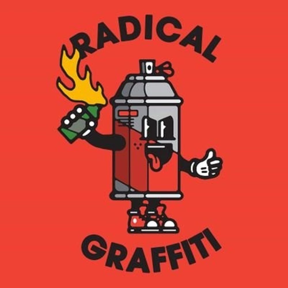
Just sharing pics of anti-capitalist, anti-authoritarian and anti-colonial graffiti, stickers and street art seen around the world.
https://linktr.ee/Radicalgraffiti
Geographer + accidental cartographer. Posting about geography, maps & more.
https://geoviews.net/
Geographer / Anthropologist
www.dukeupress.edu/somatic-states
www.franckbille.com
english | français | русский | عربية | አማርኛ
maps | data | code | journalism
#D3 & #Observable
👁️🗨️ https://observablehq.com/@fil
🌍 https://visionscarto.net/
Sociologue de l'action publique @Sciences Po Saint-Germain-en-Laye @Cesdip
Politiques urbaines / gouvernance multi-niveaux / quartiers populaires / instruments de gouvernement / Un jour, une ZUP, une carte postale / romans photo / ...
Mapping the world with Python. Geospatial data scientist who likes maps.
Contact adam@pythonmaps.com
European Journal of Geography // Revue Européenne de Géographie
🔗 https://journals.openedition.org/cybergeo/
Un laboratoire interdisciplinaire au carrefour de la géographie humaine et des études urbaines.
Front-end cartographer. Research Engineer in Geographic Information Science at CNRS & UAR RIATE. Author of Mad Maps (2019) and Practical Handbook of Thematic Cartography (2020). Observablehq ambassador.
See https://neocartocnrs.observablehq.cloud/cv/
GIS and cartography @EU_eurostat (previously @ignfrance.bsky.social), geographical information, maps, orienteering, bike, nature, Europe, Luxembourg, Marseille, Haut-Doubs
https://jgaffuri.github.io/
Retrouvez toutes les informations sur https://fr.escape-x.org/
#HelloQuitteX #HelloQuitX #EscapeX
(Anciennement HelloQuitteX)
(She/Her/Elle) Museums Geek/ Heritage Nerd/ Drawing Fan/ Pop Culture addict/ Feminist/ Ex-Twittos
Conservator + Collection Manager + CM of Museum of New-Caledonia, Presidente AMEP-NC, Sci-Fi Club #NouvelleCaledonie #NewCaledonia
Views are my own
Disseminating knowledge—through the publication of printed books, periodicals, and electronic files—beyond the confines of the University's campus.
Compte officiel de l'Association des Musées et Etablissements Patrimoniaux de Nouvelle-Calédonie ou AMEP-NC
#patrimoine #matrimoine #nouvellecaledonie
A photo viewing client for u from the creator of @skeetsapp.com & @bluescreen.blue
iOS: https://t1p.de/b3o4x
Android: Not available yet
❓ FAQS: https://t1p.de/24kj0
🐞 Bug Reports: https://t1p.de/phwii
💡 Feature Requests: https://t1p.de/8tmnc
CRH (EHESS-CNRS, UMR 8558)
13 équipes de recherches/De l’Antiquité à nos jours
Sur des aires culturelles très variées
EHESS - 54, bld Raspail 75006 Paris
http://crh.ehess.fr/
newslettercrh@ehess.fr
https://www.youtube.com/@Vid%C3%A9os_CRH_EHESS_CNRS