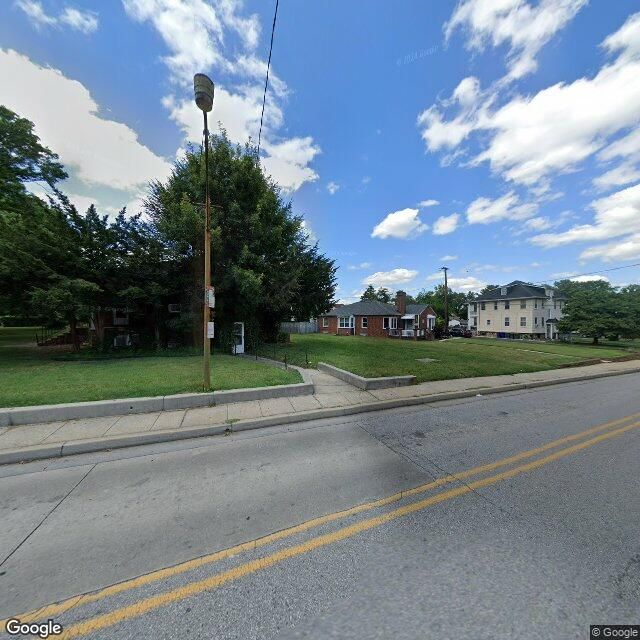
Google Maps Street View of bus stop PACA ST & SARATOGA ST fs nb
PACA ST & SARATOGA ST fs nb
Served by:
LocalLink: 73
ExpressLink: 150
@bmore-bus-skeets.bsky.social
Every* bus stop in Baltimore City shamelessly ripped from @everylotbaltimore.bsky.social maintained by @ohidied.bsky.social (report bugs over there!) *MTA-only for now, Charm City Circulator tk)
Google Maps Street View of bus stop PACA ST & SARATOGA ST fs nb
PACA ST & SARATOGA ST fs nb
Served by:
LocalLink: 73
ExpressLink: 150

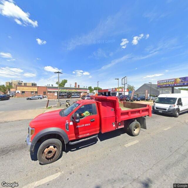
Google Maps Street View of bus stop ODONNELL ST CUTOFF & TRAVEL CENTER fs eb
ODONNELL ST CUTOFF & TRAVEL CENTER fs eb
Served by:
CityLink: NV 🔵

Google Maps Street View of bus stop CLIPPER RD & UNION AVE
CLIPPER RD & UNION AVE
Served by:
LocalLink: 21

Google Maps Street View of bus stop WASHINGTON BLVD & CAREY ST sb
WASHINGTON BLVD & CAREY ST sb
Served by:
CityLink: YW 🟡

Google Maps Street View of bus stop FALLS RD & APPLEBY AVE nb
FALLS RD & APPLEBY AVE nb
Served by:
LocalLink: 34

Google Maps Street View of bus stop HANOVER & HENRIETTA sb
HANOVER & HENRIETTA sb
Served by:
LocalLink: 94

Google Maps Street View of bus stop THE ALAMEDA & WALTERS AVE sb
THE ALAMEDA & WALTERS AVE sb
Served by:
LocalLink: 53

Google Maps Street View of bus stop THE ALAMEDA & BEAUMONT AVE nb
THE ALAMEDA & BEAUMONT AVE nb
Served by:
LocalLink: 53

Google Maps Street View of bus stop FLEET ST & CHESTER ST fs wb
FLEET ST & CHESTER ST fs wb
Served by:
CityLink: GD 🟡

Google Maps Street View of bus stop GREENMOUNT AVE & BIDDLE ST nb
GREENMOUNT AVE & BIDDLE ST nb
Served by:
CityLink: RD 🔴

Google Maps Street View of bus stop LIGHT ST & MONGOMERY ST sb
LIGHT ST & MONGOMERY ST sb
Served by:
CityLink: SV ⚪
LocalLink: 67
Google Maps Street View of bus stop GLEN AVE & PARK HEIGHTS AVE wb
GLEN AVE & PARK HEIGHTS AVE wb
Served by:
LocalLink: 92, 34

Google Maps Street View of bus stop WRIGHT AVE & HOFFMAN ST nb
WRIGHT AVE & HOFFMAN ST nb
Served by:
LocalLink: 59

Google Maps Street View of bus stop 62ND ST & 1601 BLDG
62ND ST & 1601 BLDG
Served by:
LocalLink: 30

Google Maps Street View of bus stop 1401 CHERRY HILL RD ns
1401 CHERRY HILL RD ns
Served by:
LocalLink: 71, 26

Google Maps Street View of bus stop PRATT ST & CAROLINE ST eb
PRATT ST & CAROLINE ST eb
Served by:
CityLink: BR 🟤
LocalLink: 65

Google Maps Street View of bus stop DUE CALHOUN & HARLEM sb
DUE CALHOUN & HARLEM sb
Served by:
CityLink: NV 🔵, BL 🔵, PR 🟣
LocalLink: 80

Google Maps Street View of bus stop LOCH RAVEN BLVD & WOODBOURNE AVE nb
LOCH RAVEN BLVD & WOODBOURNE AVE nb
Served by:
CityLink: GR 🟢
ExpressLink: 103, 104

Google Maps Street View of bus stop BALTIMORE ST & BERNICE AVE wb
BALTIMORE ST & BERNICE AVE wb
Served by:
LocalLink: 78

Google Maps Street View of bus stop GWYNN OAK AVE & BELLE AVE nb
GWYNN OAK AVE & BELLE AVE nb
Served by:
LocalLink: 34
Google Maps Street View of bus stop GWYNNS FALLS PKWY & TIOGA PKWY wb
GWYNNS FALLS PKWY & TIOGA PKWY wb
Served by:
CityLink: NV 🔵
LocalLink: 79, 26, 29, 82
Google Maps Street View of bus stop EASTERN AVE & HIGHLAND AVE wb
EASTERN AVE & HIGHLAND AVE wb
Served by:
CityLink: NV 🔵

Google Maps Street View of bus stop MONDAWMIN METRO STATION BAY 4
MONDAWMIN METRO STATION BAY 4
Served by:
LocalLink: 79

Google Maps Street View of bus stop HANOVER ST & CHESAPEAKE AVE mb
HANOVER ST & CHESAPEAKE AVE mb
Served by:
LocalLink: 70

Google Maps Street View of bus stop BELVEDERE AVE & ELMER AVE eb
BELVEDERE AVE & ELMER AVE eb
Served by:
LocalLink: 31
Google Maps Street View of bus stop REISTERSTOWN RD & BELVEDERE AVE nb
REISTERSTOWN RD & BELVEDERE AVE nb
Served by:
LocalLink: 83

Google Maps Street View of bus stop EASTERN AVE & PATTERSON PK AVE eb
EASTERN AVE & PATTERSON PK AVE eb
Served by:
CityLink: NV 🔵

Google Maps Street View of bus stop UNIVERSITY PKWY & SOMERSET RD nb
UNIVERSITY PKWY & SOMERSET RD nb
Served by:
LocalLink: 95

Google Maps Street View of bus stop HOLLINS FERRY RD & MARBOURNE AVE sb
HOLLINS FERRY RD & MARBOURNE AVE sb
Served by:
LocalLink: 73

Google Maps Street View of bus stop KEY HWY & KEY HWY E sb fs
KEY HWY & KEY HWY E sb fs
Served by:
LocalLink: 71