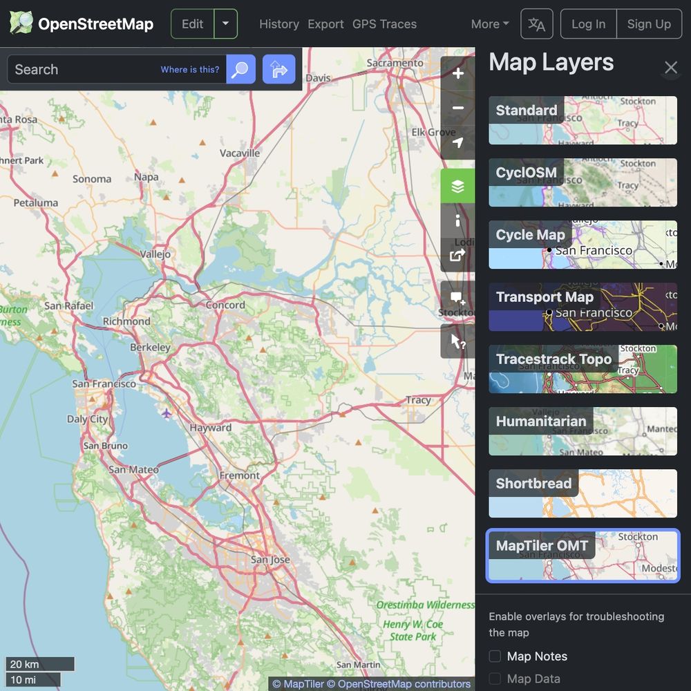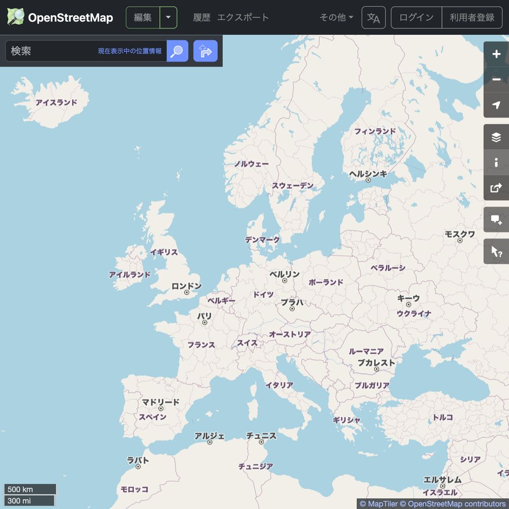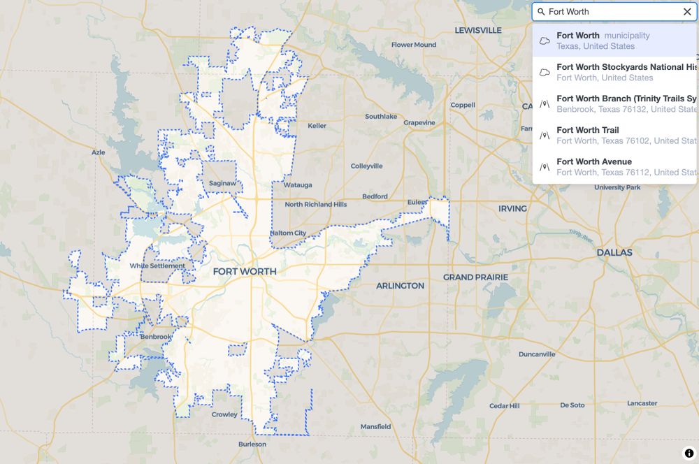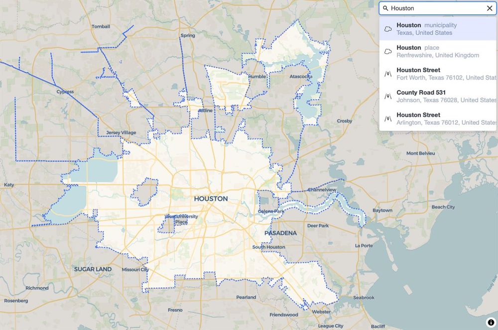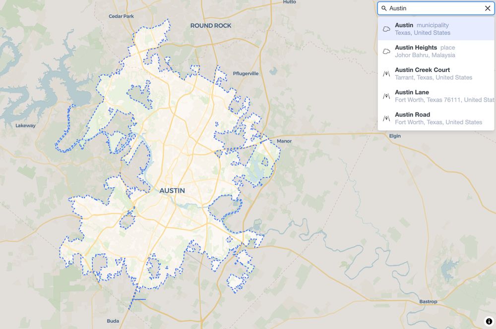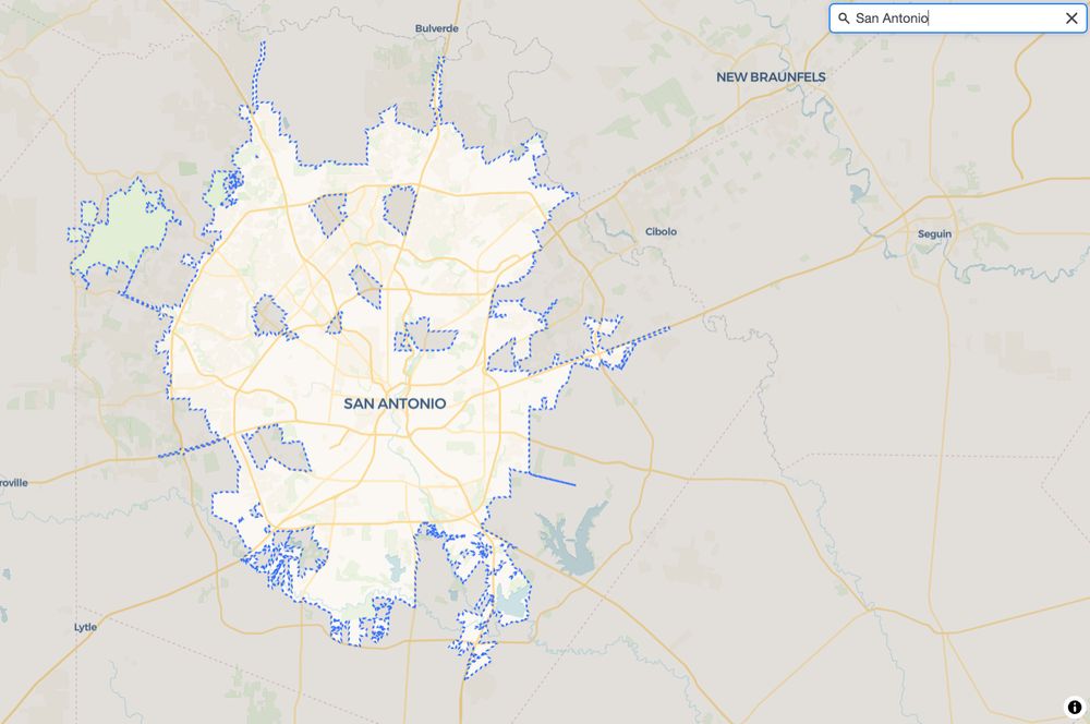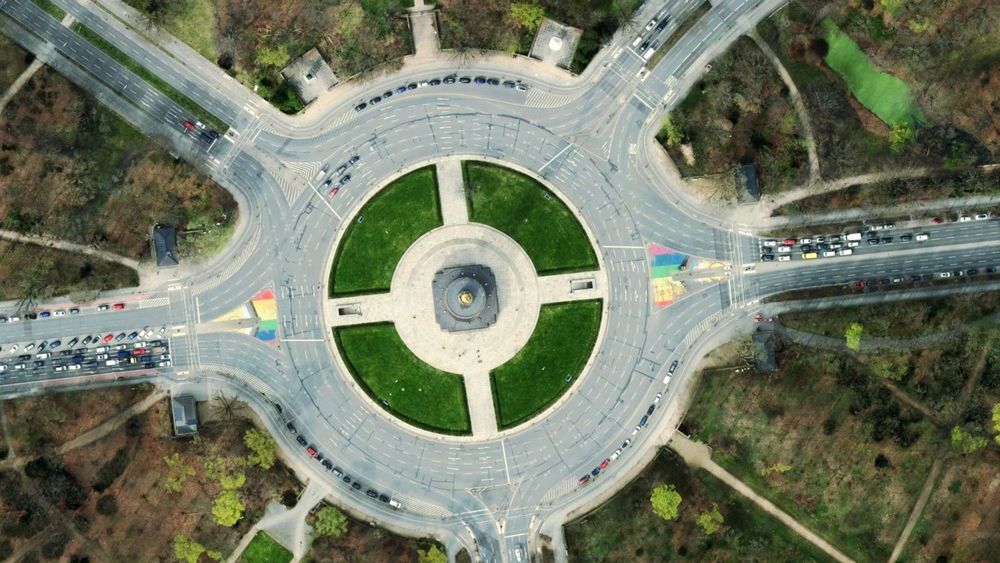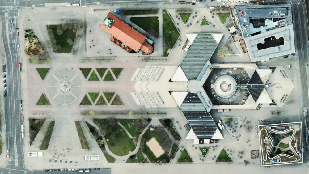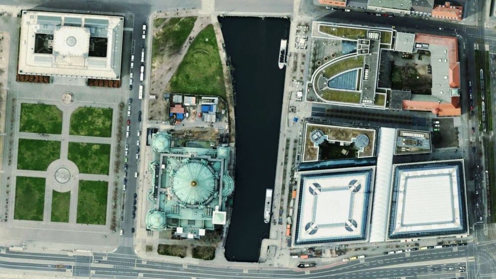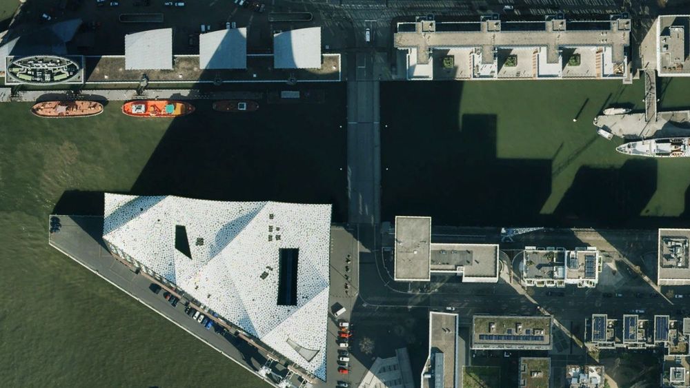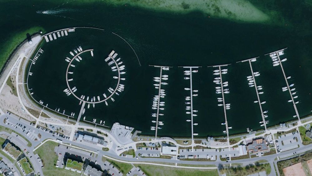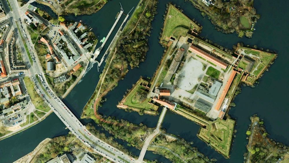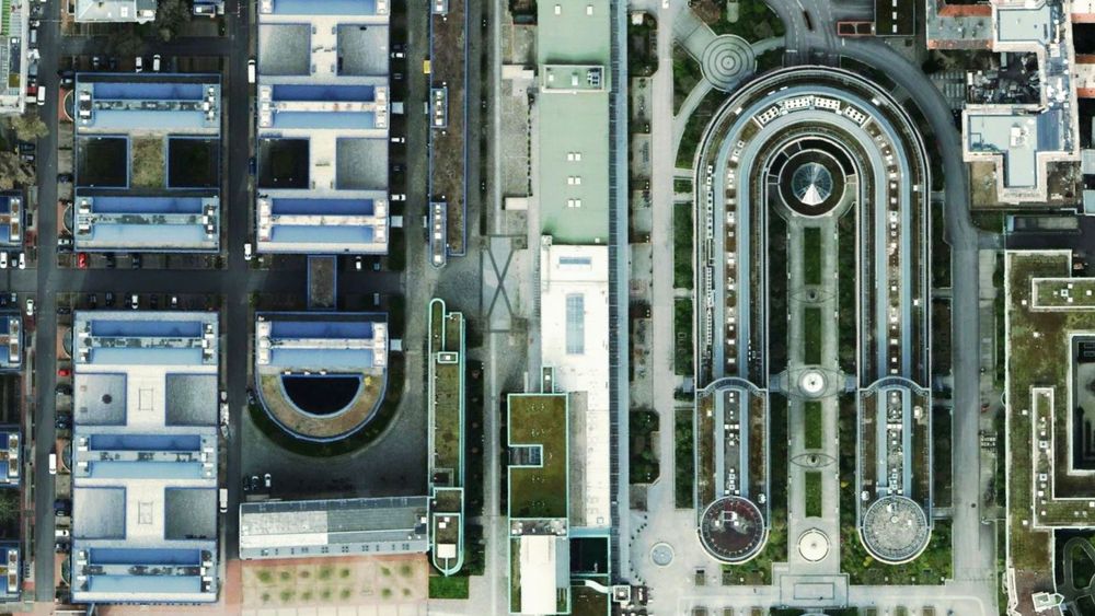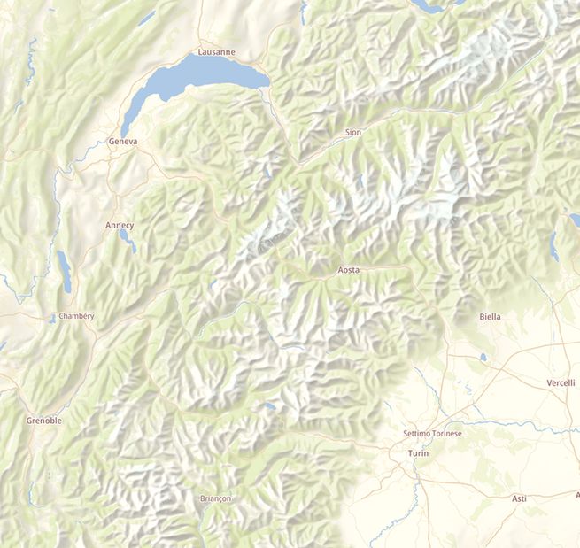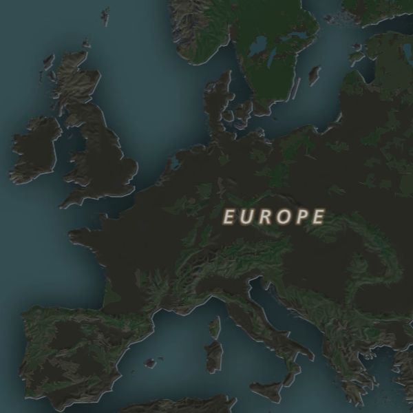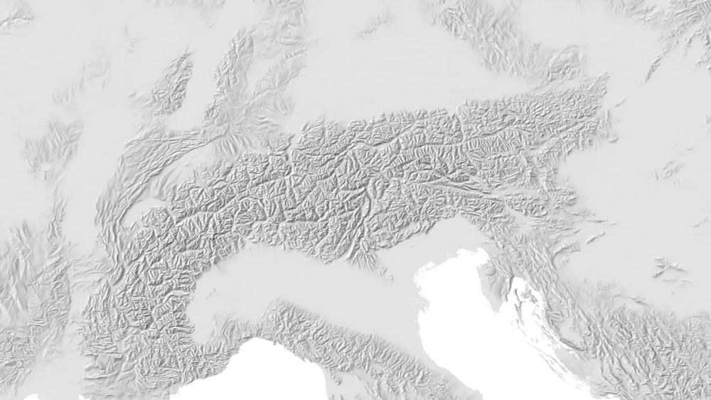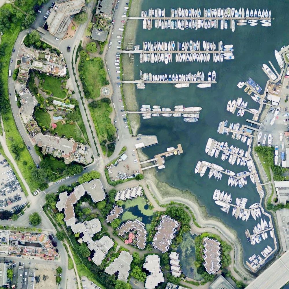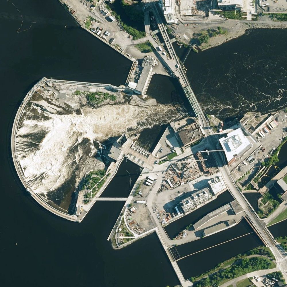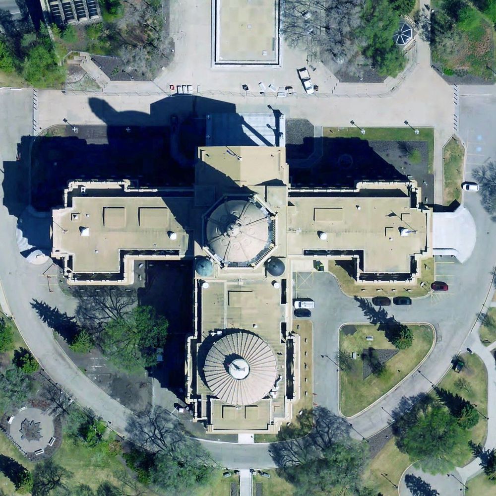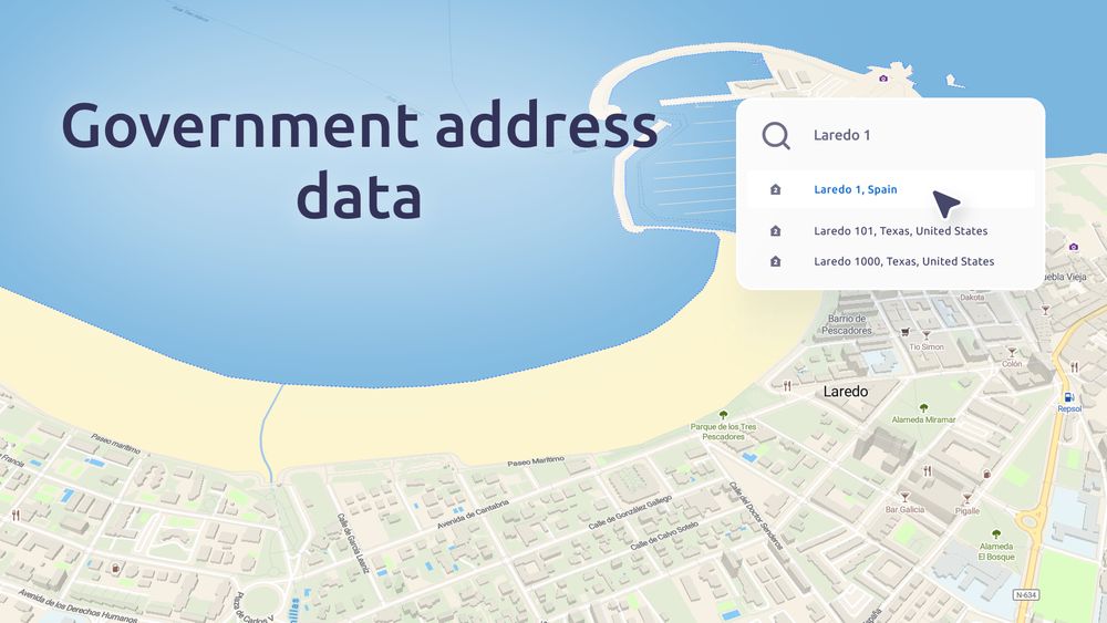
We’re committed to helping you find more by adding new data sources to our search. With regular updates from trusted government and public datasets, coverage expands across the US, Europe, South America, and beyond. Discover the latest updates at maptiler.link/46u49VU
04.08.2025 15:02 — 👍 1 🔁 1 💬 0 📌 0
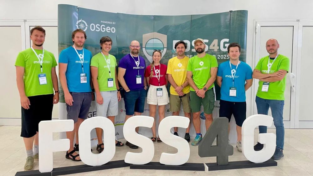
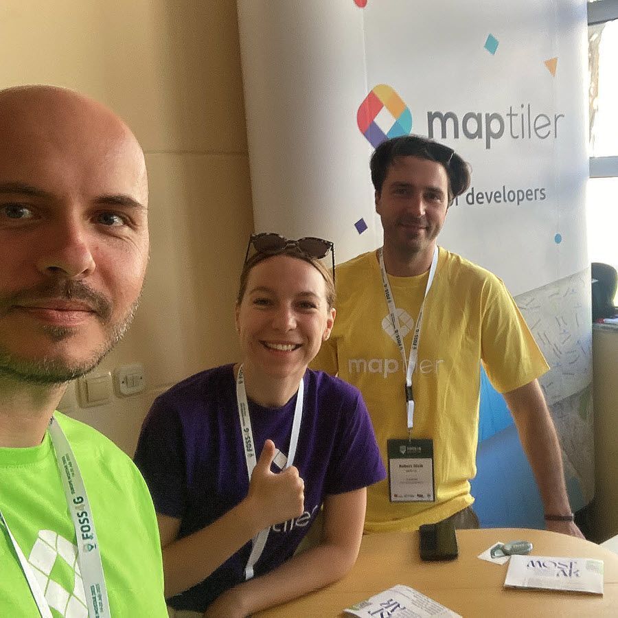
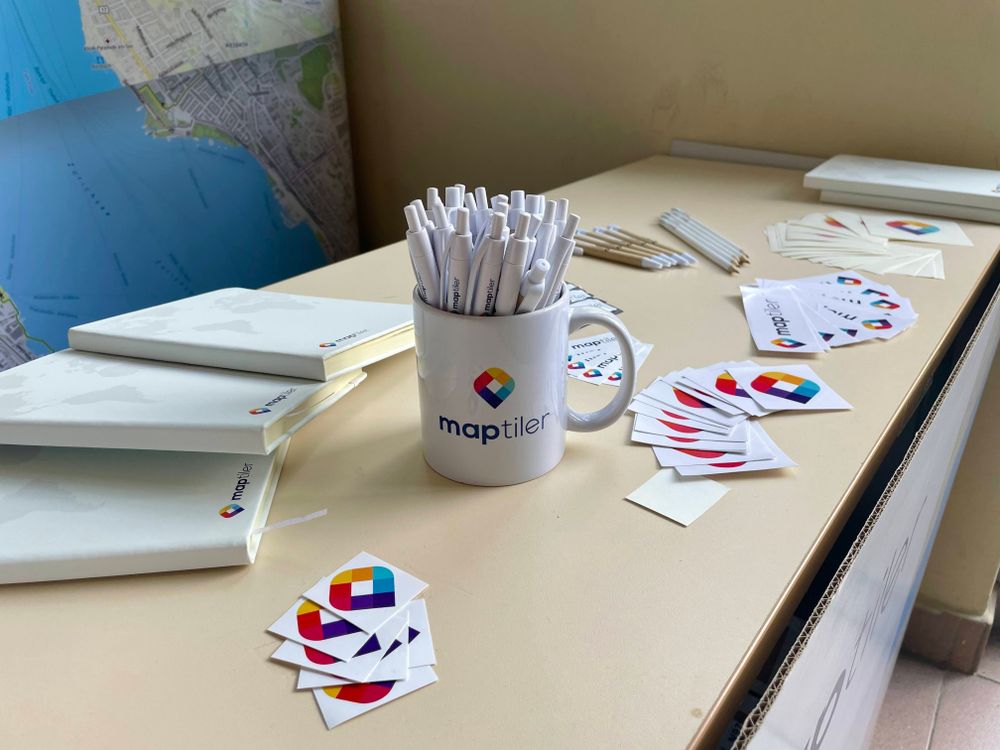
What a conference! #FOSS4GEurope2025 was a great success for everyone involved. We were proud silver sponsors and used the experience to reconnect with our #FOSS4G roots and introduce some of our newest team members to the community. Find out what we got up to in #Mostar: maptiler.link/4lV8Blg
01.08.2025 15:00 — 👍 4 🔁 1 💬 0 📌 0

Drag and drop your vector geodata—MapTiler takes care of the rest. Your data is immediately processed and ready for editing, integration into maps, or publishing online.
Read more and get started: maptiler.link/4mktqXc
31.07.2025 18:44 — 👍 2 🔁 1 💬 0 📌 0


We welcome @maptiler.bsky.social as one of our Bronze tier sponsors for #FOSS4GUK 2025. As well as supporting Leeds they support #FOSS4GEurope and global #FOSS4G events in the past. 🦉 🌍 🙏
MapTiler innovate cartography to empower people, improve their lives, and support freedom. ⛓️💥🗺️🙏
30.07.2025 11:38 — 👍 6 🔁 3 💬 0 📌 0
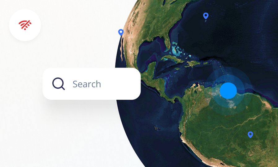
Adding location search capabilities to your offline maps is simple. Get MapTiler Server 4.7 and follow these 3 simple steps:
- Download the indexes
- Test in the Server Admin UI
- Start using them
Learn how: maptiler.link/44gH3PM
30.07.2025 15:04 — 👍 1 🔁 1 💬 0 📌 0
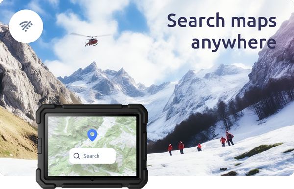
🚨 Webinar today! 🚨 Need to know about adding search boxes to offline maps? You still have 4 hours to sign up. Register here: maptiler.link/4ltEWix
23.07.2025 11:02 — 👍 0 🔁 0 💬 0 📌 0

🚨 There's still time! 🚨 Register now for tomorrow's webinar on offline map searching: maptiler.link/4ltEWix
22.07.2025 15:06 — 👍 1 🔁 1 💬 0 📌 0
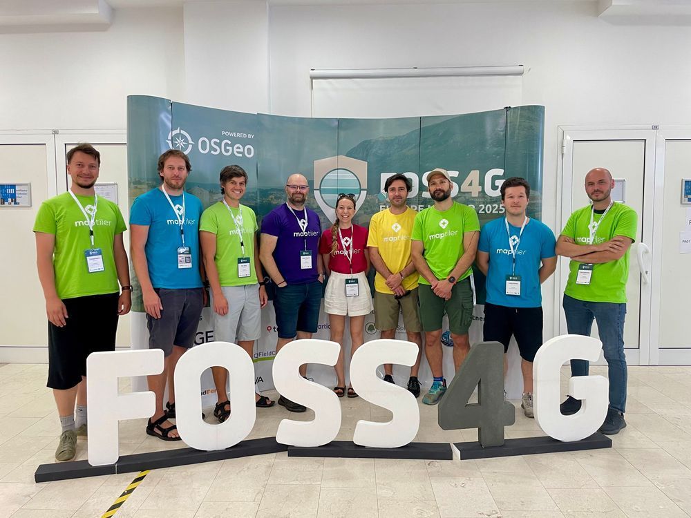
Thank you #FOSS4GEurope and beautiful #Mostar, it has been an incredible event! So many great talks, people met, coffees drunk, and stickers given away! Thanks again to everyone who helped organize the conference, gave a talk, or stopped by our stand to see us!
#FOSS4G #foss4ge2025
18.07.2025 16:01 — 👍 4 🔁 1 💬 0 📌 0

DON’T FORGET! The "Location Searching and Reverse Geocoding for Offline Maps” webinar is less than a week away! Sign up here: maptiler.link/4ltEWix
#Geocoding #Maps
18.07.2025 15:11 — 👍 2 🔁 2 💬 0 📌 0
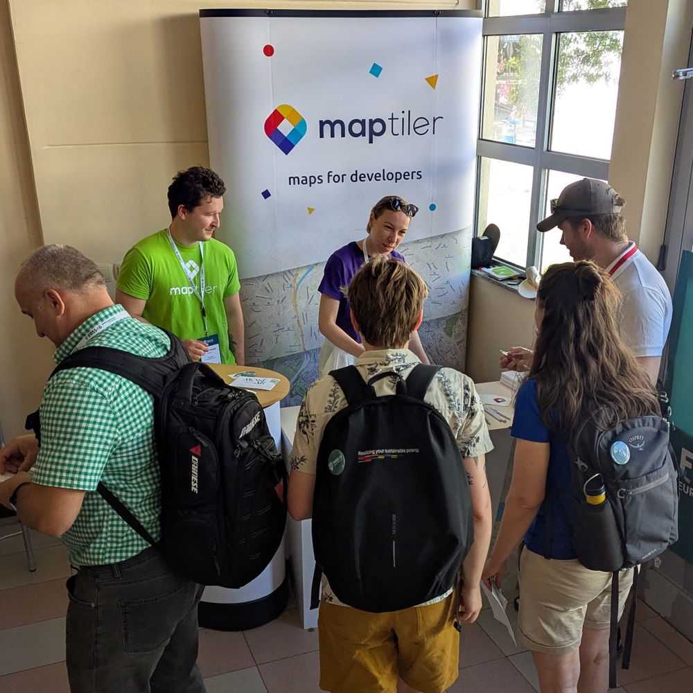
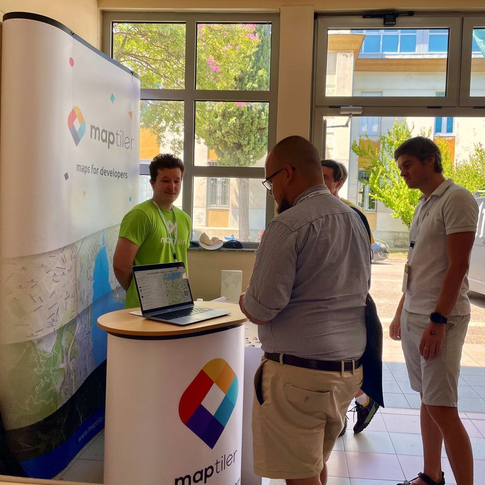
It’s nearly lunchtime at FOSS4G Europe, make sure you drop by our stand and say hello. We have experts in cartography, spatial data, web mapping, geocoding, JavaScript, and more!
#FOSS4G #FOSS4GEurope #foss4ge2025 #WebMapping #SpatialData
17.07.2025 10:01 — 👍 4 🔁 2 💬 0 📌 0
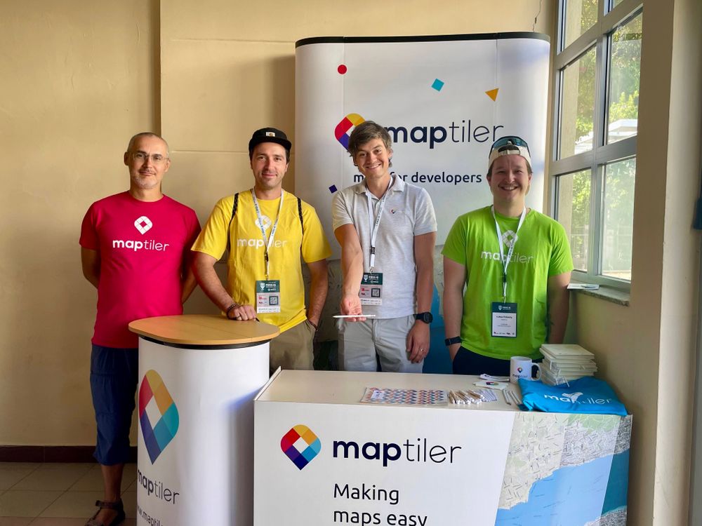
Just got your coffee at FOSS4G Europe? Head over to the MapTiler stand for a chat about the latest offerings for online and on-prem mapping solutions.
#FOSS4G #FOSS4GEurope #foss4ge2025
17.07.2025 08:01 — 👍 3 🔁 1 💬 0 📌 0

Want to know how to add place name searching to your on-prem #maps? Sign up for our webinar on the 23rd of July. All the details can be found on this page: maptiler.link/4nsJhV9
16.07.2025 15:05 — 👍 1 🔁 0 💬 0 📌 0

Heading to the FOSS4G Europe #B2B event? Make sure you speak to @jachym.mastodon.social.ap.brid.gy and Dalibor Janak to find out what MapTiler is working on next. Hurry, it starts soon!
#FOSS4G #FOSS4GEurope #foss4ge2025
15.07.2025 16:03 — 👍 3 🔁 1 💬 0 📌 0
We’ll be at tonight's #B2B event at FOSS4G Europe in the Del Rio restaurant! Come meet @jachym.mastodon.social.ap.brid.gy and Dalibor Janak, and find out how we can help you and your business.
#FOSS4G #FOSS4GEurope #foss4ge2025
15.07.2025 14:03 — 👍 1 🔁 1 💬 0 📌 0
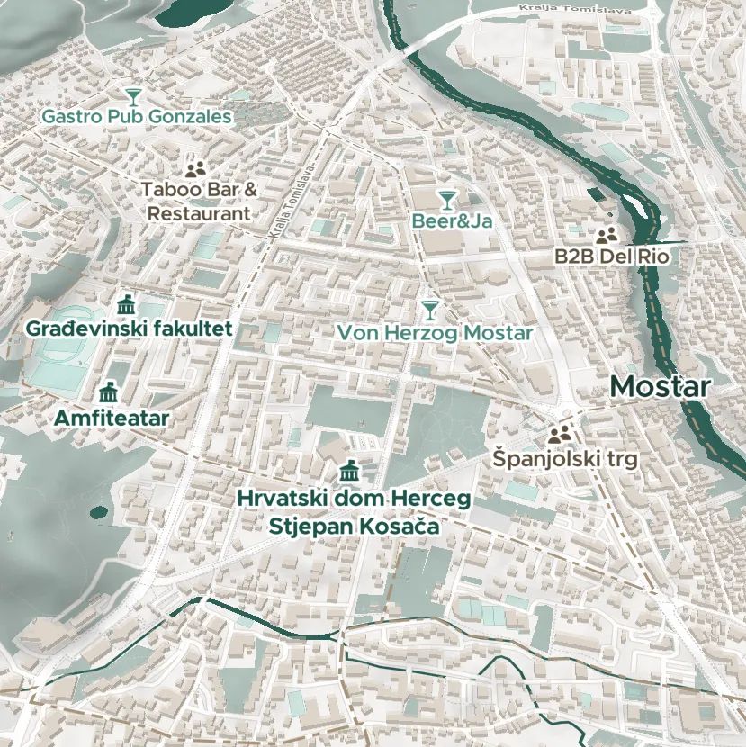
We're really excited to be at FOSS4G Europe all week, witnessing all the #OpenSource goodness! Come see us at the B2B event tomorrow night or visit our stand throughout the main event.
#FOSS4G #FOSS4GEurope #foss4ge2025
14.07.2025 15:23 — 👍 5 🔁 3 💬 0 📌 0
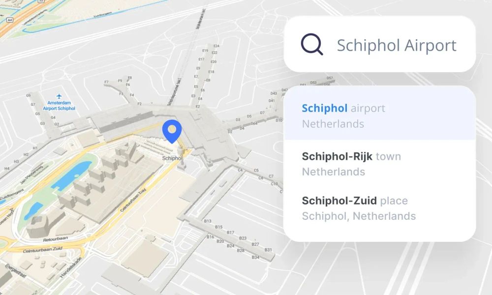
Always available, interactive location searches for offline maps! Add a search box to your on-prem or secure environment maps with MapTiler Server 4.7. Join our webinar to find out more; the details can be found here: maptiler.link/4nsJhV9
11.07.2025 15:04 — 👍 2 🔁 1 💬 0 📌 0
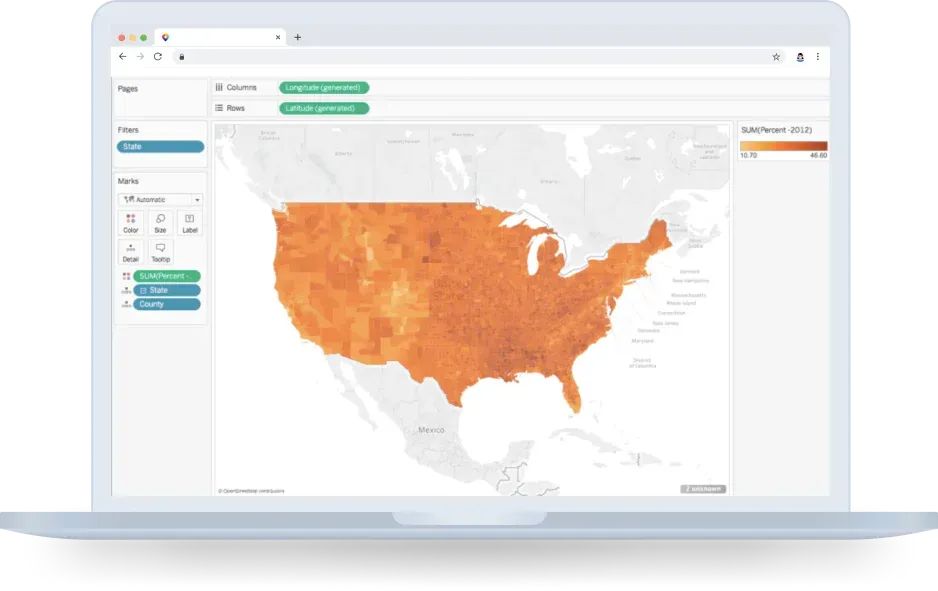
A #map style made to let your data shine, especially on #dashboards! Explore #Dataviz, available in muted colors or dark & light variants. Get TMS files for #Tableau or XYZ, TileJSON, and WMTS files for other data visualization software. Read more: maptiler.link/3T0fB3A
10.07.2025 15:06 — 👍 4 🔁 1 💬 0 📌 0

Location searching in critical applications must be available at all times & cannot rely on an internet connection. MapTiler Server 4.7 enables offline hosting of maps with a search box, providing a reliable platform at times of uncertainty. Find out more: maptiler.link/44j03gn
09.07.2025 15:05 — 👍 2 🔁 1 💬 0 📌 0
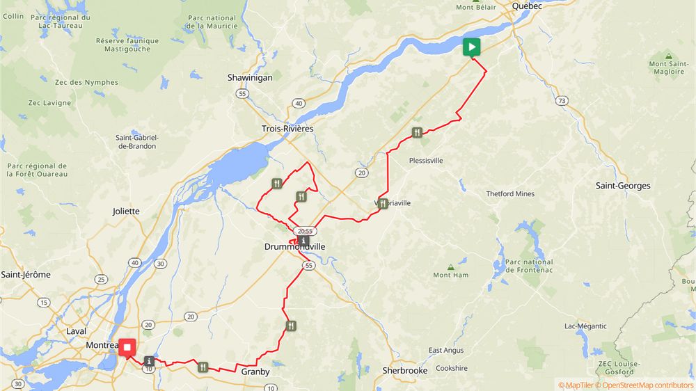
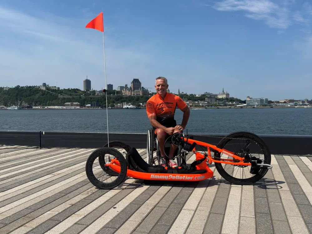
Stage 1, Quebec to Montreal, starts today! See the route here: maptiler.link/4kXKIcl
27.06.2025 15:03 — 👍 3 🔁 0 💬 0 📌 0
Maps for #DataVisualisation: Our #Dataviz map style highlights the data you put on top. It’s simple, elegant, and ideal for dashboards. Available in color, light, and dark variants! Find out more: maptiler.link/3T0fB3A
25.06.2025 15:06 — 👍 3 🔁 1 💬 0 📌 0
Publishing geospatial open data efficiently using GeoNetwork, GeoServer and Bridge. We offer software, services, cloud hosting, support and consulting
The official Bluesky account of the OpenStreetMap foundation
Satellites. Space.Trees. Prof Edinburgh Uni. Co-founder Earth Blox.
Demographics | Geospatial | Data Science | Open Source
Into creative ML/AI, NLP, data science and digital humanities, narrative, infovis, games, sf & f. Consultant, ds in Residence at Google Arts & Culture. (Lyon, FR) Newsletter arnicas.substack.com.
Open source for geospatial #foss4g #osgeo
Data & geocoding teams at @MapTiler
For Bluesky posts follow @jachym.bsky.social
[bridged from https://mastodon.social/@jachym on the fediverse by https://fed.brid.gy/ ]
Simulaties, 3D-modellen en interactieve kaarten voor aardrijkskunde op https://www.interactiveexplainers.com/animaties.html. Leraar aardrijkskunde, wetenschappen en informaticawetenschappen en in een vorige eeuw apotheker. Digitaal onderzoekend leren.
geospatial analysis | web development | project management
Web dev, Vue geek, map maker, dad.
I code econo for a large conservation NGO, mostly working on data, maps, and web apps related to conservation and climate change
ASD advocate | Small business owner supporting underrepresented populations | Web Designer & Digital Marketer | Sustainability & GIS | Florida Mama | Strength in numbers - Get Involved 💙🏳️🌈♻️👩🏾💻🗺️
web, data, radio, maps. running, biking, skiing. #rstats
Geospatial web developer / solution architect. Biggest hobbies are Zimbabwean stone sculpture, hiking, running and PSV Eindhoven.
Software/Algorithm Developer, Data Scientist. Interests: remote sensing/geospatial, machine learning/pattern recognition.
Freelance geo & web developer who enjoys photography and maps, based in London https://dankarran.com
Tinkering with geospatial tech, mainly Esri. Hobbyist map maker, usually of or around Melbourne.. Love bikes and homelab experiments.
OSGeo Volunteer | Geospatial Developer | PostGIS | Python | Maplibre
https://jsonsingh.com


