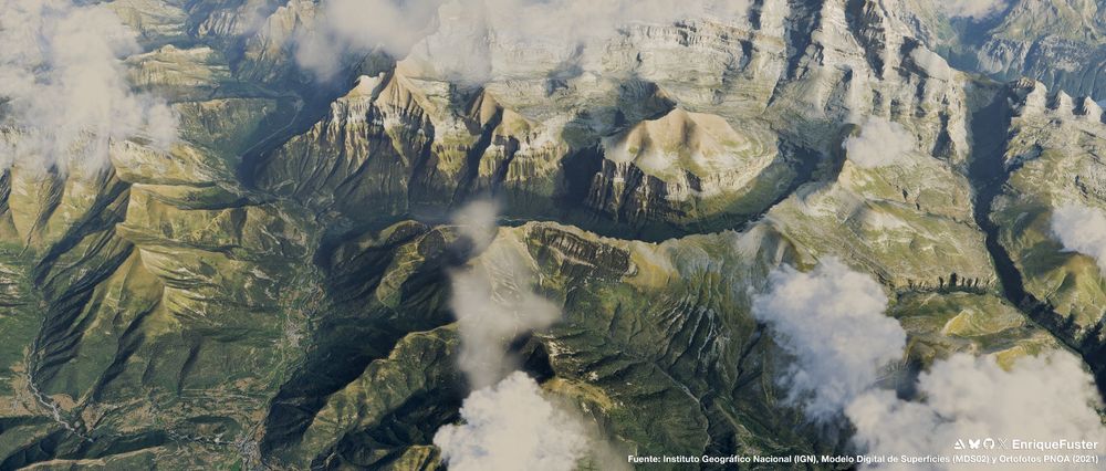
Exploring more #Blender GIS possibilities: Doggerland sinking under the rising North Sea from ~12,000 to 7,000 years BP. Created using DEM + bathymetry rasters processed in R and textured in Blender. #b3d #30DayMapChallenge Day 20 β Water
20.11.2025 20:20 β π 5 π 1 π¬ 0 π 0
The goal: recreate real landscapes in LEGO for a few wide shots in my upcoming brickfilm.
Instancing bricks is too heavy at scale, so I use simple textured geometry for terrainβbuilding on techniques from my last animation, still experimenting with Geometry Nodes.
#b3d #blender
08.11.2025 12:25 β π 1 π 0 π¬ 0 π 0
A few years ago I ran a small print-on-demand map shop.
Made a few sales and hundreds of mapsβfirst by hand (Photoshop), then with #Mapbox + #Python (OpenCV & Pillow).
Focused more on craft than marketing, but learned a lot.
Yesterday felt like redemption: #30DayMapChallenge Day 3 β Polygons.
04.11.2025 22:08 β π 7 π 2 π¬ 0 π 0