OAX cancels Flood Advisory for Mills, Pottawattamie [IA] and Douglas, Sarpy [NE]
at Wed, 06 Aug 2025 14:59:47 +0000 via IEMbot
Additional Details Here.
06.08.2025 15:08 — 👍 0 🔁 0 💬 0 📌 0
6 W Eagle [Lancaster Co, NE] Public reports Tstm Wnd Gst of M60 MPH at 8:05 AM CDT -- Gust recorded by a personal weather station.
at Wed, 06 Aug 2025 13:58:30 +0000 via IEMbot
Additional Details Here.
06.08.2025 14:08 — 👍 0 🔁 0 💬 0 📌 0
5 WNW Lincoln [Lancaster Co, NE] ASOS reports Tstm Wnd Gst of M56 MPH at 7:54 AM CDT -- ASOS station KLNK Lincoln Airport.
at Wed, 06 Aug 2025 13:12:40 +0000 via IEMbot
Additional Details Here.
06.08.2025 13:28 — 👍 1 🔁 0 💬 0 📌 0
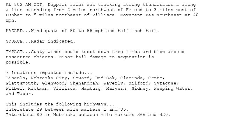
At 802 AM CDT, Doppler radar was tracking strong thunderstorms along
a line extending from 2 miles northwest of Friend to 3 miles west of
Dunbar to 5 miles northeast of Villisca. Movement was southeast at 40
mph.
HAZARD...Wind gusts of 50 to 55 mph and half inch hail.
SOURCE...Radar indicated.
IMPACT...Gusty winds could knock down tree limbs and blow around
unsecured objects. Minor hail damage to vegetation is
possible.
* Locations impacted include...
Lincoln, Nebraska City, Seward, Red Oak, Clarinda, Crete,
Plattsmouth, Glenwood, Shenandoah, Waverly, Milford, Syracuse,
Wilber, Hickman, Villisca, Hamburg, Malvern, Sidney, Weeping Water,
and Tabor.
This includes the following highways...
Interstate 29 between mile markers 1 and 35.
Interstate 80 in Nebraska between mile markers 366 and 420.
Special Weather Statement issued August 6 at 8:02AM CDT by NWS Omaha/Valley NE
Additional Details Here.
06.08.2025 13:15 — 👍 1 🔁 0 💬 0 📌 0
OAX issues STRONG THUNDERSTORMS WILL IMPACT MONTGOMERYMILLSFREMONT [wind: 55 MPH, hail: 0.50 IN] for Fremont, Mills, Montgomery, Page, Pottawattamie [IA] and Cass, Gage, Johnson, ... at Wed, 06 Aug 2025 13:03:05 +0000 via IEMbot
Additional Details Here.
06.08.2025 13:08 — 👍 1 🔁 0 💬 0 📌 0
OAX issues Flood Advisory for Mills, Pottawattamie [IA] and Douglas, Sarpy [NE] till Aug 6, 10:30 AM CDT
at Wed, 06 Aug 2025 12:30:38 +0000 via IEMbot
Additional Details Here.
06.08.2025 12:48 — 👍 1 🔁 0 💬 0 📌 0
The Storm Prediction Center issues Day 1 Marginal Convective Risk at Aug 6, 12:38z for portions of OAX
at Wed, 06 Aug 2025 12:40:42 +0000 via IEMbot
Additional Details Here.
06.08.2025 12:48 — 👍 0 🔁 0 💬 0 📌 0
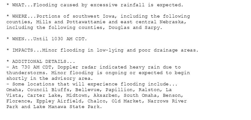
* WHAT...Flooding caused by excessive rainfall is expected.
* WHERE...Portions of southwest Iowa, including the following
counties, Mills and Pottawattamie and east central Nebraska,
including the following counties, Douglas and Sarpy.
* WHEN...Until 1030 AM CDT.
* IMPACTS...Minor flooding in low-lying and poor drainage areas.
* ADDITIONAL DETAILS...
- At 730 AM CDT, Doppler radar indicated heavy rain due to
thunderstorms. Minor flooding is ongoing or expected to begin
shortly in the advisory area.
- Some locations that will experience flooding include...
Omaha, Council Bluffs, Bellevue, Papillion, Ralston, La
Vista, Carter Lake, Midtown, Aksarben, South Omaha, Benson,
Florence, Eppley Airfield, Chalco, Old Market, Narrows River
Park and Lake Manawa State Park.
Flood Advisory issued August 6 at 7:30AM CDT until August 6 at 10:30AM CDT by NWS Omaha/Valley NE
Additional Details Here.
06.08.2025 12:45 — 👍 0 🔁 0 💬 0 📌 0
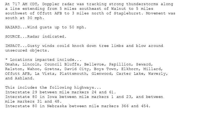
At 717 AM CDT, Doppler radar was tracking strong thunderstorms along
a line extending from 5 miles southeast of Walnut to 5 miles
southwest of Offutt AFB to 3 miles north of Staplehurst. Movement was
south at 30 mph.
HAZARD...Wind gusts up to 50 mph.
SOURCE...Radar indicated.
IMPACT...Gusty winds could knock down tree limbs and blow around
unsecured objects.
* Locations impacted include...
Omaha, Lincoln, Council Bluffs, Bellevue, Papillion, Seward,
Ralston, Wahoo, Gretna, David City, Boys Town, Elkhorn, Millard,
Offutt AFB, La Vista, Plattsmouth, Glenwood, Carter Lake, Waverly,
and Ashland.
This includes the following highways...
Interstate 29 between mile markers 24 and 61.
Interstate 80 in Iowa between mile markers 1 and 23, and between
mile markers 31 and 48.
Interstate 80 in Nebraska between mile markers 366 and 454.
Special Weather Statement issued August 6 at 7:17AM CDT by NWS Omaha/Valley NE
Additional Details Here.
06.08.2025 12:30 — 👍 2 🔁 0 💬 0 📌 0
OAX issues STRONG THUNDERSTORMS WILL IMPACT NORTHWESTERN MONTGOMERY [wind: 50 MPH, hail: 0.00 IN] for Fremont, Mills, Montgomery, Pottawattamie, Shelby [IA] and Butler, Cass, Doug... at Wed, 06 Aug 2025 12:17:55 +0000 via IEMbot
Additional Details Here.
06.08.2025 12:28 — 👍 1 🔁 0 💬 0 📌 0
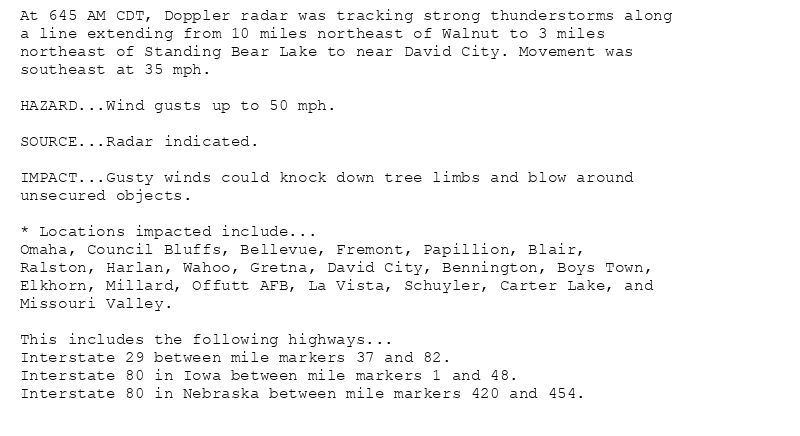
At 645 AM CDT, Doppler radar was tracking strong thunderstorms along
a line extending from 10 miles northeast of Walnut to 3 miles
northeast of Standing Bear Lake to near David City. Movement was
southeast at 35 mph.
HAZARD...Wind gusts up to 50 mph.
SOURCE...Radar indicated.
IMPACT...Gusty winds could knock down tree limbs and blow around
unsecured objects.
* Locations impacted include...
Omaha, Council Bluffs, Bellevue, Fremont, Papillion, Blair,
Ralston, Harlan, Wahoo, Gretna, David City, Bennington, Boys Town,
Elkhorn, Millard, Offutt AFB, La Vista, Schuyler, Carter Lake, and
Missouri Valley.
This includes the following highways...
Interstate 29 between mile markers 37 and 82.
Interstate 80 in Iowa between mile markers 1 and 48.
Interstate 80 in Nebraska between mile markers 420 and 454.
Special Weather Statement issued August 6 at 6:46AM CDT by NWS Omaha/Valley NE
Additional Details Here.
06.08.2025 12:00 — 👍 0 🔁 0 💬 0 📌 0
OAX issues STRONG THUNDERSTORMS WILL IMPACT NORTHWESTERN MILLSSHELBY [wind: 50 MPH, hail: 0.00 IN] for Harrison, Mills, Pottawattamie, Shelby [IA] and Butler, Cass, Colfax, Dodge,... at Wed, 06 Aug 2025 11:46:29 +0000 via IEMbot
Additional Details Here.
06.08.2025 11:48 — 👍 0 🔁 0 💬 0 📌 0
OAX issues STRONG THUNDERSTORMS WILL IMPACT POTTAWATTAMIESOUTHERN HARRISONSHELBYNORTHERN SARPYSOUTHERN COLFAXWASHINGTON [wind: 50 MPH, hail: 0.00 IN] for Harrison, Pottawattamie, ... at Wed, 06 Aug 2025 11:09:38 +0000 via IEMbot
Additional Details Here.
06.08.2025 11:28 — 👍 0 🔁 0 💬 0 📌 0
At 608 AM CDT, Doppler radar was tracking strong thunderstorms along
a line extending from 3 miles east of Irwin to 5 miles northwest of
Kennard to 7 miles northeast of Lakeview. Movement was southeast at
40 mph.
HAZARD...Wind gusts up to 50 mph.
SOURCE...Radar indicated.
IMPACT...Gusty winds could knock down tree limbs and blow around
unsecured objects.
* Locations impacted include...
Omaha, Council Bluffs, Bellevue, Fremont, Papillion, Blair,
Ralston, Harlan, Wahoo, Gretna, David City, Bennington, Boys Town,
Elkhorn, Millard, La Vista, Schuyler, Carter Lake, Missouri Valley,
and Valley.
This includes the following highways...
Interstate 29 between mile markers 45 and 82.
Interstate 80 in Iowa between mile markers 1 and 48.
Interstate 80 in Nebraska between mile markers 437 and 454.
Special Weather Statement issued August 6 at 6:09AM CDT by NWS Omaha/Valley NE
Additional Details Here.
06.08.2025 11:15 — 👍 0 🔁 0 💬 0 📌 0
OAX issues Area Forecast Discussion (AFD) at Aug 6, 5:28 AM CDT
at Wed, 06 Aug 2025 10:28:38 +0000 via IEMbot
Additional Details Here.
06.08.2025 10:28 — 👍 0 🔁 0 💬 0 📌 0
OAX issues Hazardous Weather Outlook (HWO) at Aug 6, 4:32 AM CDT
at Wed, 06 Aug 2025 09:33:37 +0000 via IEMbot
Additional Details Here.
06.08.2025 09:48 — 👍 0 🔁 0 💬 0 📌 0
OAX issues Area Forecast Discussion (AFD) at Aug 6, 4:19 AM CDT
at Wed, 06 Aug 2025 09:19:34 +0000 via IEMbot
Additional Details Here.
06.08.2025 09:28 — 👍 0 🔁 0 💬 0 📌 0
The Storm Prediction Center issues Day 3 Slight Convective Risk at Aug 6, 7:30z for portions of OAX
at Wed, 06 Aug 2025 07:31:30 +0000 via IEMbot
Additional Details Here.
06.08.2025 07:48 — 👍 0 🔁 0 💬 0 📌 0
OMAHA NE Aug 5
Climate Report:
High: 83
Low: 63
Precip: 0.0"
Snow: 0.0" Snow Depth: 0"
at Wed, 06 Aug 2025 06:42:47 +0000 via IEMbot
Additional Details Here.
06.08.2025 06:50 — 👍 0 🔁 0 💬 0 📌 0
The Storm Prediction Center issues Day 1 Marginal Convective Risk at Aug 6, 5:13z for portions of OAX
at Wed, 06 Aug 2025 05:17:19 +0000 via IEMbot
Additional Details Here.
06.08.2025 05:28 — 👍 0 🔁 0 💬 0 📌 0
OAX issues Area Forecast Discussion (AFD) at Aug 5, 11:57 PM CDT
at Wed, 06 Aug 2025 04:59:15 +0000 via IEMbot
Additional Details Here.
06.08.2025 05:08 — 👍 0 🔁 0 💬 0 📌 0
Storm Prediction Center issues Mesoscale Discussion #1894 concerning SEVERE POTENTIAL...WATCH POSSIBLE [watch prob: 40%] [Most Prob: Hail: UP TO 1.25 IN, Gust: 55-70 MPH]
at Wed, ... at Wed, 06 Aug 2025 04:35:08 +0000 via IEMbot
Additional Details Here.
06.08.2025 04:48 — 👍 0 🔁 0 💬 0 📌 0
Weather Prediction Center issues Mesoscale Precipitation Discussion #876 concerning HEAVY RAINFALL...FLASH FLOODING POSSIBLE
at Wed, 06 Aug 2025 04:25:08 +0000 via IEMbot
Additional Details Here.
06.08.2025 04:28 — 👍 0 🔁 0 💬 0 📌 0
OAX issues Hazardous Weather Outlook (HWO) at Aug 5, 10:10 PM CDT
at Wed, 06 Aug 2025 03:10:50 +0000 via IEMbot
Additional Details Here.
06.08.2025 03:28 — 👍 0 🔁 0 💬 0 📌 0
Storm Prediction Center issues Mesoscale Discussion #1893 concerning TORNADO WATCH 574 [Most Prob: Tornado: 85-115 MPH, Hail: 1.00-1.75 IN, Gust: 55-70 MPH]
at Wed, 06 Aug 2025 01:00:48 +0000 via IEMbot
Additional Details Here.
06.08.2025 01:09 — 👍 0 🔁 0 💬 0 📌 0
The Storm Prediction Center issues Day 1 Marginal Convective Risk at Aug 6, 0:45z for portions of OAX
at Wed, 06 Aug 2025 00:47:22 +0000 via IEMbot
Additional Details Here.
06.08.2025 00:49 — 👍 0 🔁 0 💬 0 📌 0
OAX issues Area Forecast Discussion (AFD) at Aug 5, 6:25 PM CDT
at Tue, 05 Aug 2025 23:26:18 +0000 via IEMbot
Additional Details Here.
05.08.2025 23:28 — 👍 0 🔁 0 💬 0 📌 0
NORFOLK NE Aug 5
Climate Report:
High: 81
Low: 65
Precip: 0.0"
Snow: 0.0" Snow Depth: 0"
at Tue, 05 Aug 2025 21:24:51 +0000 via IEMbot
Additional Details Here.
05.08.2025 21:28 — 👍 0 🔁 0 💬 0 📌 0
OMAHA NE Aug 5
Climate Report:
High: 83
Low: 63
Precip: 0.0"
Snow: 0.0" Snow Depth: 0"
at Tue, 05 Aug 2025 21:24:55 +0000 via IEMbot
Additional Details Here.
05.08.2025 21:28 — 👍 0 🔁 0 💬 0 📌 0
OAX issues Area Forecast Discussion (AFD) at Aug 5, 3:15 PM CDT ...The remainder of this afternoon through Wednesday night... via IEMbot
Additional Details Here.
05.08.2025 20:28 — 👍 0 🔁 0 💬 0 📌 0