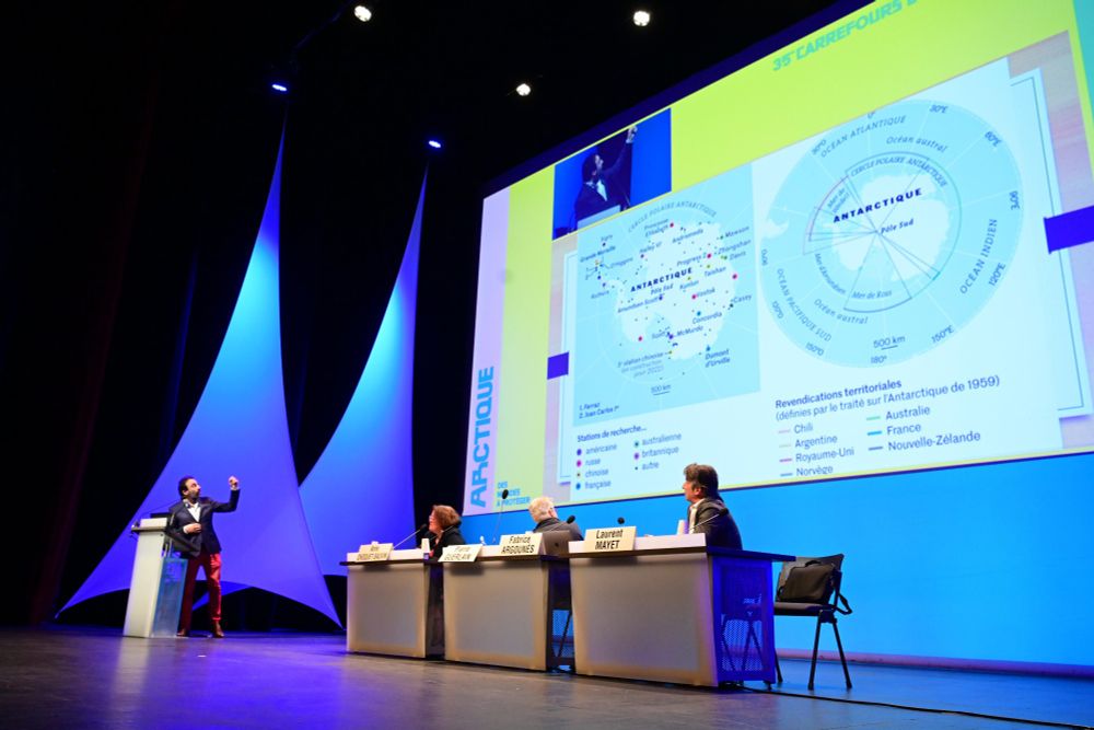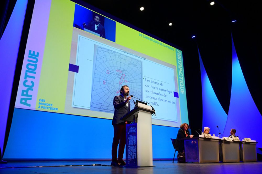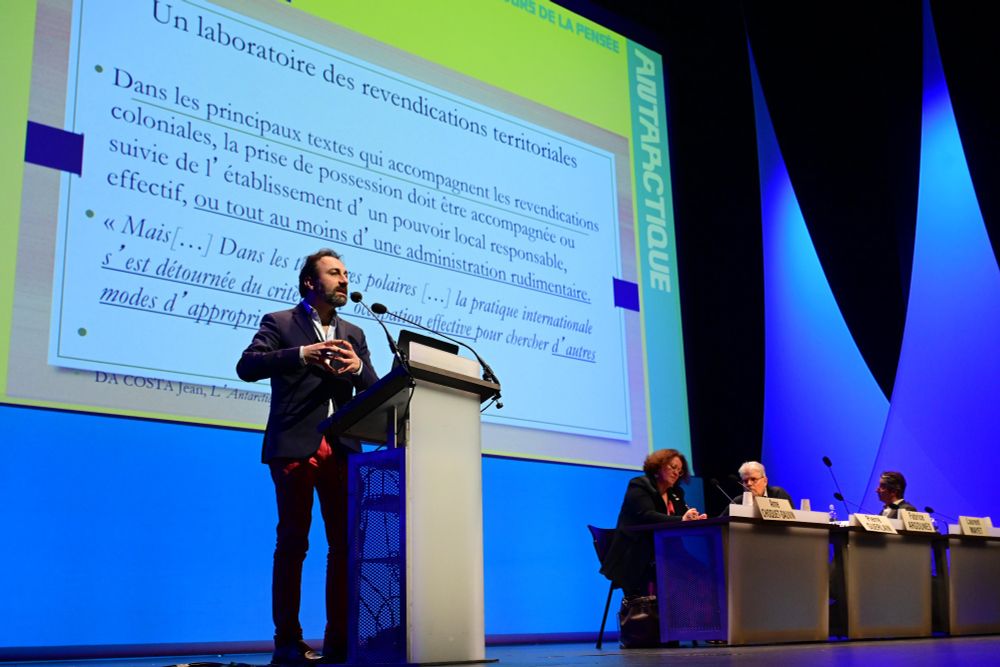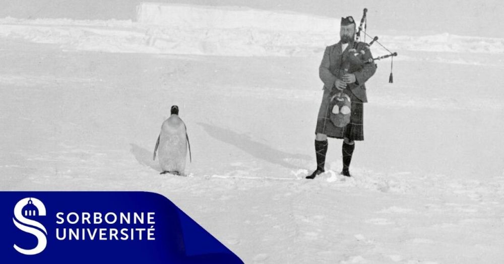
Antarctica: A “European Invention”
Btw
"How has Antarctica “captured the imagination of the old continent from Antiquity to the modern era”? Discover the history of European explorations and the appropriation of the Antarctic space, with an article by Fabrice Argounès" #environment #imperialism
ehne.fr/en/encyclope...
25.04.2025 20:24 — 👍 4 🔁 2 💬 1 📌 0
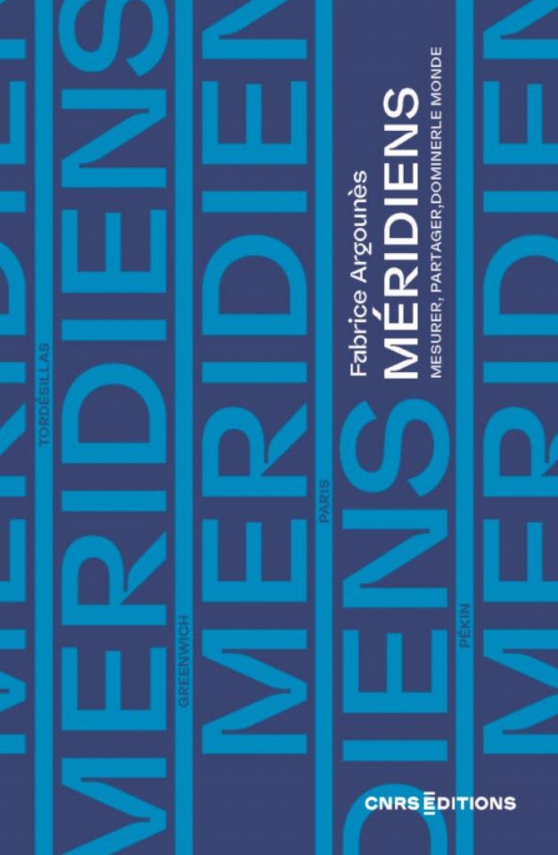
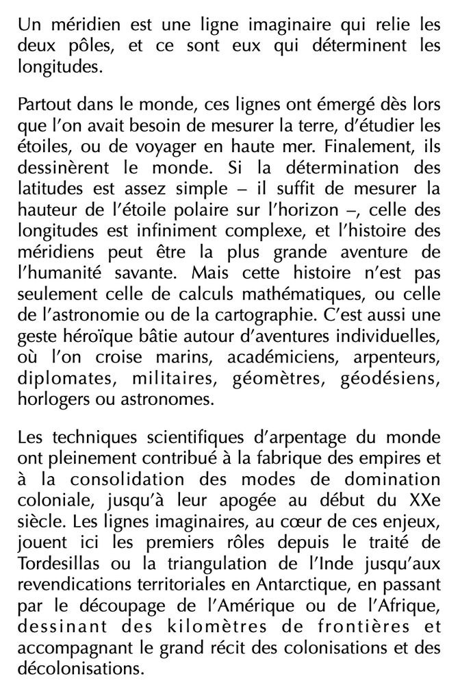
Fabrice Argounès - Méridiens
Mesurer, partager, dominer le monde
À paraître en août chez CNRS Éditions
11.07.2025 09:28 — 👍 12 🔁 2 💬 0 📌 0
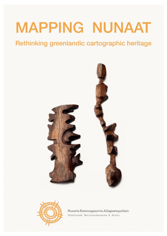
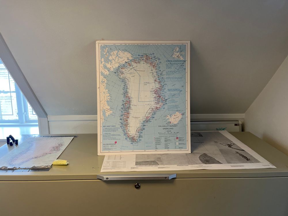
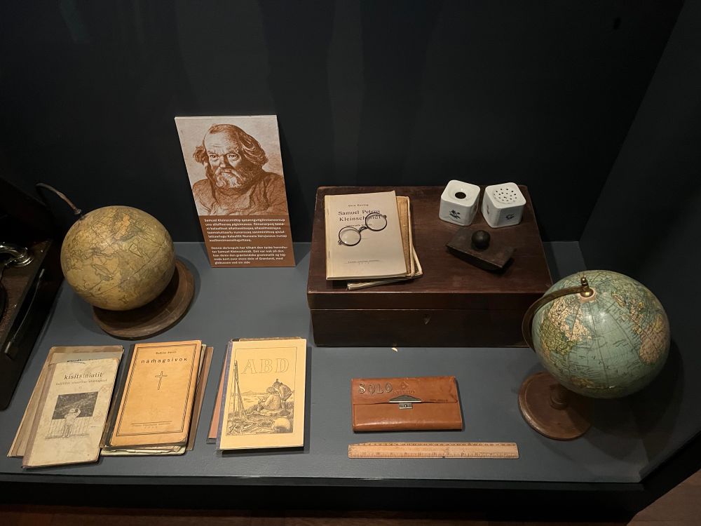
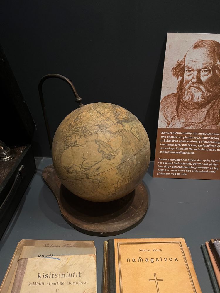
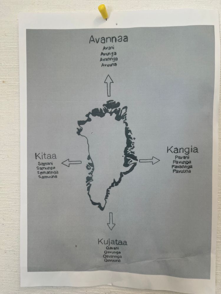
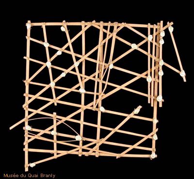
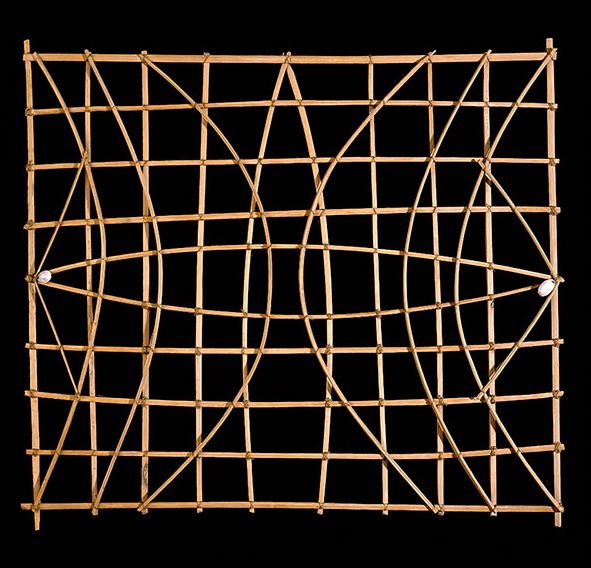
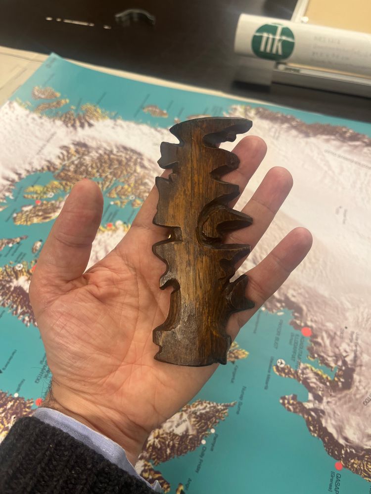
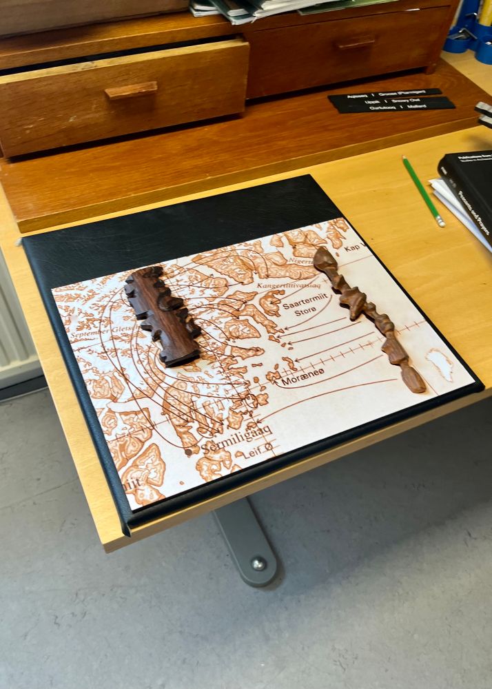
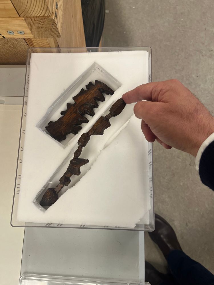
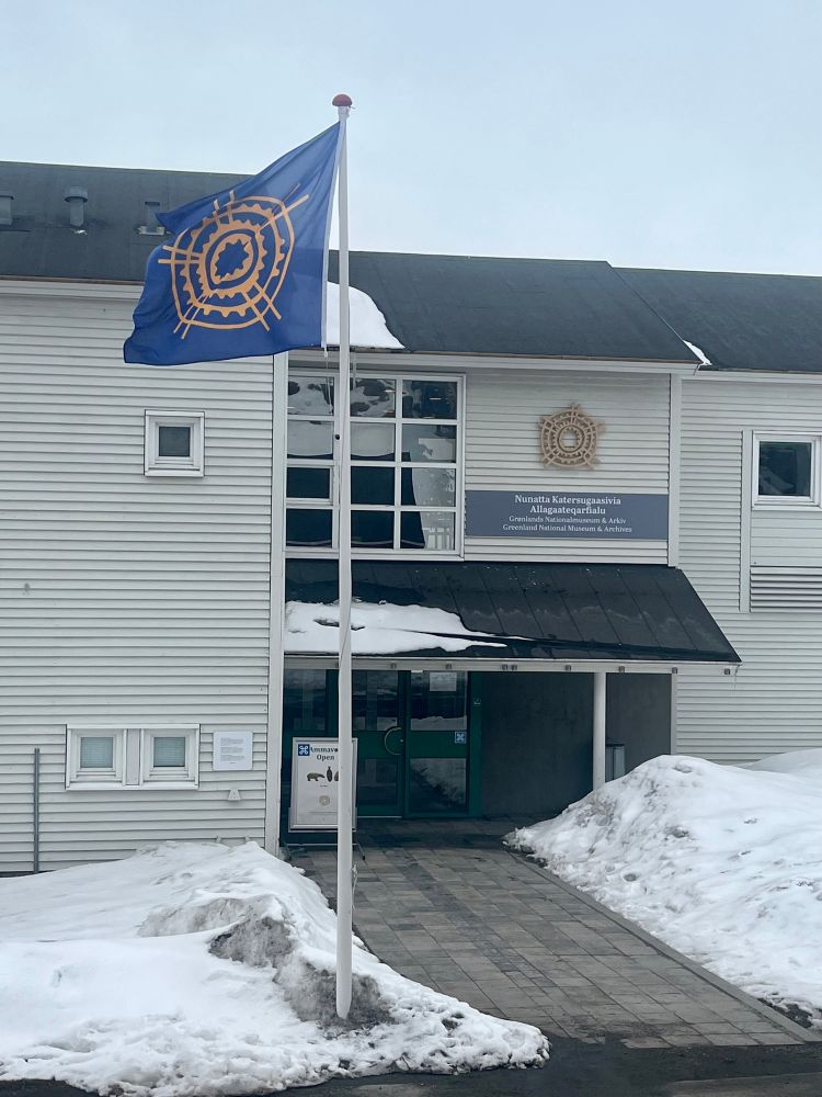
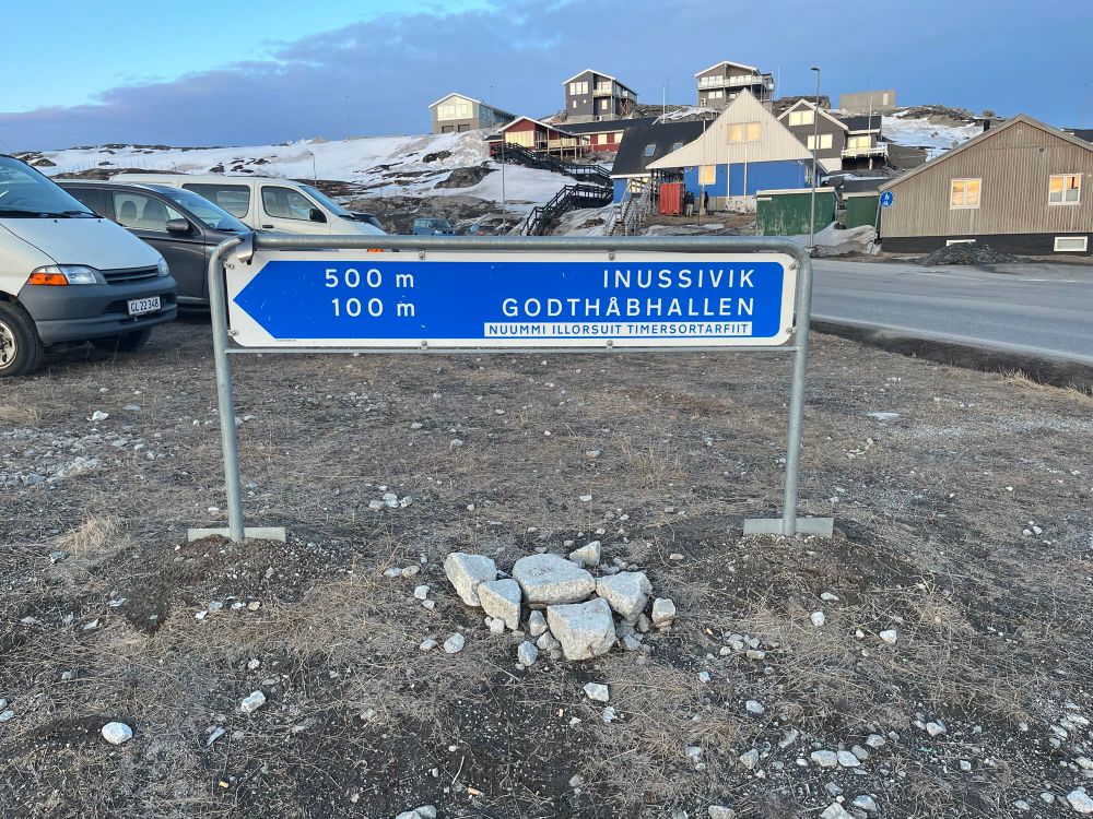
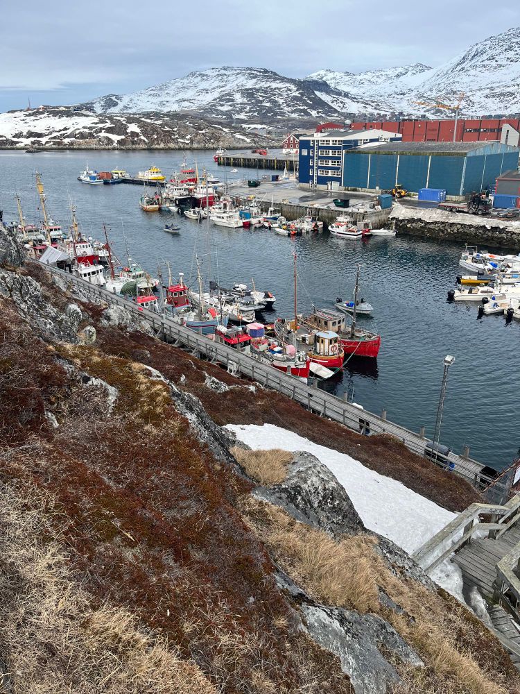
As the world has just located Greenland on the map, our exhibition (co-curated with Fabrice Argounès) on Greenlandic cartographic traditions will open in early May at the Greenland National Museum and Archives - Nunatta Katersugaasivia Allagaateqarfialu - in Nuuk.
17.04.2025 08:23 — 👍 1 🔁 2 💬 0 📌 0
3/3
À la croisée de la narration, Le la culture matérielle et de la cartographie, les cartes d'Ammassalik rappellent que le territoire peut aussi se transmettre par le toucher et la parole.
#Groenland #Inuit #Histoire #Géographie #Cartographie #Exposition
#Ammassalik
07.05.2025 14:48 — 👍 1 🔁 0 💬 0 📌 0
2/3
Plus que de simples outils de navigation, et destinées à être lues avec les mains, elles illustrent un savoir géographique profondément enraciné dans les traditions orales inuit, mêlant histoires, mémoire, itinéraires et récits de voyage.
07.05.2025 14:48 — 👍 1 🔁 0 💬 1 📌 0
Enseignant #HG - auteur chez Passés Composés #guerre1870 #Paris- histoire urbaine, histoire sociale et politique du XIXe - recensions Nonfiction.fr
#PerDir #PromotionJacquesDelors Proviseur adjoint académie de Versailles (92) | Ancien professeur d'Histoire-Géographie | Ancien rédacteur en chef de la revue Historiens & Géographes | #éducation. Compte personnel.
CNRS Researcher at the Center for International Studies (CERI) of Sciences Po. Civil Wars, Law and Politics, in Syria, Afghanistan, Mali and more recently Mexico. All publication on https://cv.hal.science/adam-baczko
Historien.
Veille bibliographique.
Enseignant-chercheur à l'université Rennes 2. Histoires de l'Afrique & de l'environnement, histoires coloniale & postcoloniale
Chercheuse au CNRS. Littératures du Sénégal, Niger, Guinée principalement. Parle aussi de panafricanisme et de socialisme.
J’écris : Sorcières, tyrans, héros (Honoré Champion); Senghor (Puf)
#HelloESR
Professeur d'histoire contemporaine à l'Université Paris 1 Panthéon-Sorbonne
Former British Academy Global Professor at King's College London
Professeur d'histoire - Compte personnel et souvent humoristique (surnommé "le délireur du siècle" par sa fille).
official Bluesky account (check username👆)
Bugs, feature requests, feedback: support@bsky.app

