Something different from the Unidata workshops?
07.02.2026 06:22 — 👍 0 🔁 0 💬 0 📌 0
Congratulations on the position, and glad to have your skill and expertise back in the agency.
05.02.2026 19:55 — 👍 1 🔁 0 💬 0 📌 0
that would make things a lot more efficient, but were not available then.
But even using available tools 10 years ago that I was not using, I could have been much more robust with my analysis and more efficient at performing it.
01.02.2026 15:18 — 👍 1 🔁 0 💬 0 📌 0
I would keep the same hypothesis, and the big picture method I would keep. There is a lot I would do differently with Python and my output organization. And this would mean using Python and netCDFs in ways that were possible 10 years ago. There is a lot of new Python tools available today
01.02.2026 15:18 — 👍 0 🔁 0 💬 1 📌 0
I feel some of those have to go to aviation museums. I mean for decades that was part of commercial flight culture.
29.01.2026 21:19 — 👍 1 🔁 0 💬 0 📌 0
Any sleet at all being reported? That's a pretty sharp freezing layer under that melting layer.
25.01.2026 04:02 — 👍 2 🔁 0 💬 0 📌 0
Welcome to town!
05.01.2026 22:36 — 👍 2 🔁 0 💬 0 📌 0
I will give that read assuming I got it as well.
05.01.2026 16:54 — 👍 0 🔁 0 💬 0 📌 0
Oh no. What announcement or email did I miss running errands this morning?
05.01.2026 16:52 — 👍 0 🔁 0 💬 1 📌 0
Wow!
15.12.2025 01:41 — 👍 0 🔁 0 💬 0 📌 0
That scares me. And what also scares me, are editors who can tell a review was done with a LLM or a paper larger produced with an LLM.
15.12.2025 01:25 — 👍 0 🔁 0 💬 0 📌 0
@dopplerchase.bsky.social @plustssn.autumnsky.us Okay that makes sense. As this starts to get used, especially if the probabilistic output gets used, checking the output to make sure things meteorologicaly makes sense will be critical.
15.12.2025 01:09 — 👍 1 🔁 0 💬 1 📌 0
to learn wetbulb and RH behaviors, but completely ignore the temp and dewpoints?
15.12.2025 00:15 — 👍 0 🔁 0 💬 1 📌 0
This is a good piece of information to know. In the winter time, it's generally useful to consider the consider the wet bulb temperature for p-type. The AI/ML output though, will keep temp and dewpoint separate. Therefore, wetbulb temps and RH could be inconsistent. Or further, would the AIFS try
15.12.2025 00:15 — 👍 0 🔁 0 💬 1 📌 0
During my grad school search in 2016, I would not have guessed that just under 10 years later UWM and UNL programs would be gone. 🤯
06.12.2025 02:17 — 👍 1 🔁 0 💬 1 📌 0

I've been extremely fortunate to have two excellent meteorology education journeys. My Valpo B.S. turned me into a scientist. My Nebraska M.S. turned me into a independent critical thinker. Today the UNL Earth & Atmospheric Sciences was eliminated. Feeling very defeated today.
06.12.2025 01:56 — 👍 8 🔁 0 💬 0 📌 0
I wish the board and admin office of UNL would address these, but every time the question is posed, they throw back the dollar sign with a big number on the savings. It hurts to see that knowing the value behind everything else that is not readily visible.
11.11.2025 18:53 — 👍 1 🔁 0 💬 0 📌 0
Yes, I really do think there would actually be quite a bit gained if you combined the SNR and EAS resources, but you have to keep the people to maintain that value and enhance it.
11.11.2025 18:38 — 👍 0 🔁 0 💬 1 📌 0
💯
11.11.2025 18:36 — 👍 2 🔁 0 💬 0 📌 0
Yes. EAS, altogether with its combined resources, most importantly the people, is a classic example of the total sum being augmented beyond the simple addition of all its individual components. There will be much less value if fragmented throughout the university.
11.11.2025 14:10 — 👍 0 🔁 0 💬 1 📌 0
this will expand much beyond UNL. I hope the board carefully reviews the APC findings and realizes the tremendous losses this will cause.
The statement says that courses for federal requirements will remain. But, I have no idea how this happens with the complete elimination of the program.
11.11.2025 03:23 — 👍 5 🔁 0 💬 0 📌 0
mention that consolidation or reorganization could help retain this value.
There are several partnerships and collaboration with other academic institutions and federal labs, and also spans multiple disciplines. These will be severed if the board votes along with the chancellor. The impacts from
11.11.2025 03:23 — 👍 7 🔁 0 💬 1 📌 0
Very disheartened by the UNL chancellor's decision to recommend the Earth & Atmospheric Sciences Department for elimination, despite the opposition from the Academic Planning Committee's vote.
Both the opposing and in favor summary noted the value EAS provides to the discipline, and both sides
11.11.2025 03:23 — 👍 14 🔁 5 💬 4 📌 1
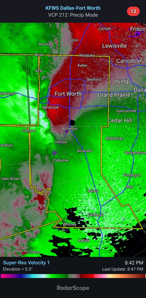
Windy in Fort Worth.
25.10.2025 01:47 — 👍 2 🔁 0 💬 0 📌 0
That makes sense. Good use of MESH and why MESH is still a good parameter to have.
16.10.2025 17:40 — 👍 1 🔁 0 💬 0 📌 0
and the background environment (I know there is some stuff out there already), it could make for a very useful GR2 user defined placefile.
14.10.2025 19:17 — 👍 1 🔁 0 💬 1 📌 0
latent. By the time you see a signal in MESH, the hail is probably already happening. A PAR network with 60-90 second full volume scans would probably be needed to make MESH useful in real-time warnings ops. One potential avenue, is if we can find a robust relationship between radar signatures
14.10.2025 19:17 — 👍 1 🔁 0 💬 1 📌 0
Others have noted that MESH can often struggle in high shear environments, which might align with your note on Spring and Fall season where you likely have stronger mid and upper level flow.
MESH is a great review and research tool. Right now, with the current 88D network, its data flow is too
14.10.2025 19:17 — 👍 1 🔁 0 💬 1 📌 0
similar ZDR/KDP, but one produced softballs, and one only produced golf balls. Then, see if the background environments could tell the story better despite similar radar signatures.
14.10.2025 18:02 — 👍 1 🔁 0 💬 1 📌 0
A sounding archive similar to the tornado one may compliment this well. Particularly, understanding the CAPE below and above the freezing layer, estimate of SR flow. Then, relate that to dBz and other dual-pol observations. This can then provide context to why two storms had 70 dBz up yo 45kft and
14.10.2025 18:02 — 👍 1 🔁 0 💬 1 📌 0
Hydraulic Civil Engineer
AMS Early Career Leadership Academy Chair
UIowa CEE: Sustainable Water Development
Valpo: Meteorology
Crocheter 🧶 | Painter 🎨 | Reader 📚 | Gamer 🎮 | Complete Nerd 🤓
Founded in 2017 at Western University with support from ImpactWX.com, NTP aims to detect and document all tornadoes in Canada and uncover Canada’s true tornado climatology. Now part of the Canadian Severe Storms Lab! See uwo.ca/ntp & cssl.ca.
Director of the Northern Mesonet Project at the Canadian Severe Storms Lab; Adjunct Professor at Western University. Connecting all of Canada’s weather networks over at meso.cssl.ca!
Assistant Professor in the University of Illinois Department of Climate, Meteorology, and Atmospheric Sciences (⛈️) and Department of Communication (⚠️). Bilingual Digital Meteorologist at MyRadar. linktr.ee/latinwx
Official Bluesky account of the Oklahoma Mesonet. A joint project of the University of Oklahoma and Oklahoma State University providing 5-minute weather data from 120 stations across Oklahoma.
Scientist, soccer referee, Iowa State graduate, Iowa native, and Oklahoma transplant. Proud to be a civil servant working in my dream job at the National Severe Storm Laboratory. Opinions my own.
PhD, severe storm scientist from Poland, Assistant Professor of Meteorology at Adam Mickiewicz University in Poznań, member of ESSL, former post-doc at NSSL/CIMMS in Norman, Oklahoma. Passionate about storms, big data processing and traveling. 🌪️ 🌩️ 🌎
Meteorologist living & working in Colorado and Wyoming. Hobby photographer, mountaineer, trail runner & storm chaser.🌪 📸 🏔🏃♂️
* Christian; Husband; Dad
* SPC Chief of Science & Support
* OBU Assistant Professor of Natural Science
* Former Bear poker turned Bear
Physical scientist at the NOAA National Severe Storms Laboratory. I use math and computers to study the atmospheric boundary layer, storms, and stuff.
Meteorologist — Texas/Oklahoma Native — OUSoM Alum and M.S. Student — OUARRC GRA researching tornadoes — Fan of cooking, running, hiking, football— he/him
Deep convective processes - observations and modeling | Ph.D.
Assistant Research Scientist @tamu.bsky.social
Personal website: gewitterblitz.github.io
Father | Husband | Boundary-Layer Meteorologist | Scientist, Verisk EES | Coffee lover | PhD OU, BS UIUC | he/him
He/him | Meteorologist using AI and machine learning | Ultra-running | Cycling | Mountains | Heavy metal | Cats | #LeafsForever
Official Bluesky account for NOAA's National Weather Service.
NOAA provides science, service and stewardship to protect life, property & Earth's natural resources. An agency of the Department of Commerce. Join us on Instagram & Facebook. Official NOAA account.