By the 20th century, digital technologies had replaced the older, manual mapmaking processes of copperplate engraving and lithography. However, visual techniques first developed in the mid-19th century, such as shading variations, were still employed in thematic maps.
Stay warm out there!
05.02.2026 16:34 — 👍 0 🔁 0 💬 0 📌 0
This map illustrates monthly average temperatures for the United States from 1931–1960 using isotherms and a color scale from cold blues to warm reds.
The large map in the center shows daily mean high and low temperatures during January, April, July and October for major cities across the country.
05.02.2026 16:34 — 👍 0 🔁 0 💬 1 📌 0

Although described as a bird’s-eye view, this colorful presentation provides a fish-eye or 360º panoramic perspective. It projects the topography of Mount Washington from a single vantage point directly above the mountain.
01.02.2026 16:34 — 👍 2 🔁 0 💬 1 📌 0


You've never seen Mt. Washington like this 🤩🗻
Check out our virtual reality immersive view of this panorama: buff.ly/TdcHrjH
Map: George H. Walker & Co.; Boston and Maine Railroad, "Birds-eye view from summit of Mt. Washington; White Mountains, New Hampshire" (1902): buff.ly/bW4XfJO
01.02.2026 16:34 — 👍 4 🔁 1 💬 1 📌 0
Map: John C. Mulford, "National highways map of the United States showing principal transcontinental highways and connecting system of one hundred thousand miles of national highways proposed by the National Highways Association" (1915): buff.ly/xnPc5GA
31.01.2026 16:34 — 👍 0 🔁 0 💬 1 📌 0


The map detail how this proposed network that would serve 99.8% of the population and support homeland defense and quick travel. Prior to the construction of national highways, it could have taken a month or more to travel across the country via automobile over dirt roads and disconnected routes.
31.01.2026 16:34 — 👍 0 🔁 0 💬 1 📌 0


Published shortly before the US entered into WW1, the banner at the top of the map reads "There can be no real preparedness for War, for Defense, or for Peace without National Highways and Good Roads Everywhere."
31.01.2026 16:34 — 👍 0 🔁 0 💬 1 📌 0


This map from 1915 strongly advocates for a 100,000 mile national highway network. Published by the National Highways Association, this map emphasizes the usefulness of a nation highway system during times of need, particularly during war efforts.
31.01.2026 16:34 — 👍 0 🔁 0 💬 1 📌 0

Highways have fundamentally altered the landscape of the United States 🚗
31.01.2026 16:34 — 👍 18 🔁 7 💬 1 📌 0

In this session, we’ll explore the reasons behind these transformations and share approachable ways to weave this history into your teaching about Boston and its neighborhoods.
Register now: buff.ly/8CUc7cU
28.01.2026 16:34 — 👍 5 🔁 3 💬 0 📌 1
This area became an important stop on the Underground Railroad and was home to many abolitionist hotspots like the African Meeting House.
25.01.2026 16:34 — 👍 2 🔁 0 💬 1 📌 0
Eventually the land was purchased by the Mount Vernon Proprietors, a real estate syndicate that planned elite housing developments. While the south slope of renamed Mount Vernon was predominantly white and upper class, the north slope became one of Boston’s first African-American neighborhoods.
25.01.2026 16:34 — 👍 1 🔁 0 💬 2 📌 0
This label became so prevalent that it was mentioned several times in letters between George Washington and the Continental Congress. In fact, one of Washington’s letters mentioning the area has the word "Whoredom" crossed out and replaced with the deliberate mishearing "Horam."
25.01.2026 16:34 — 👍 1 🔁 0 💬 1 📌 0
Whoredom Hill provided a drastic contrast with the rest of Puritan Boston, where strict legislation banned ball sports for fear of gambling. British officers saw this juxtaposition and gave it the name "Whoredom Hill" as a tongue-in-cheek reference to an area of London which had similar reputation.
25.01.2026 16:34 — 👍 1 🔁 0 💬 1 📌 0
Indeed, centuries before the infamous "Combat Zone" of the 1960s and 70s, the city’s first red-light district was situated right next to Beacon Hill. This area was well known for activities of ill repute such as boozing, prostitution, and perhaps worst of all: bowling!
25.01.2026 16:34 — 👍 1 🔁 0 💬 1 📌 0


Map: U.S. Dept. of Agriculture, Bureau of Economic Relations, "Rural cultural regions in the United States" (1940): buff.ly/qCUJTz5
24.01.2026 16:34 — 👍 0 🔁 0 💬 0 📌 0

The Leventhal Center and all BPL locations will be closed on Sunday, January 25 and Monday, January 26 for a snow emergency.
For more information, see the City of Boston press release: www.boston.gov/news/mayor-w...
24.01.2026 16:04 — 👍 0 🔁 0 💬 0 📌 0

What's beer got to do with urban development?
In this new article from Joshua Merced, you'll learn how Boston's brewing landscapes connect past to present, urban to rural, and people to place. Read the full article: buff.ly/xVJ4hVq
#bpl #LMEC #maps #bostonmaps #localhistory #bostonhistory
23.01.2026 16:34 — 👍 2 🔁 0 💬 1 📌 1

❗Join us January 26 at 2 pm ET for "Beyond the Headlines: AI and Historical Newspapers."❗
This event, co-hosted by @bpl.boston.gov Digital Services and the Leventhal Map & Education Center.
Register for event reminders using the link in our bio.
19.01.2026 16:34 — 👍 3 🔁 1 💬 0 📌 0

Banner reading "Scheduled downtime" with background image of Rip Van Winkle on a map
Some of our digital tools may be unavailable or limited on Monday, January 19 due to scheduled maintenance. We expect normal functioning to resume on Tuesday, January 20.
17.01.2026 13:45 — 👍 3 🔁 1 💬 0 📌 0

Calling all cartography lovers!
This free showing will take place Friday, January 23 in the Learning Center with a staff member from the Leventhal Center available to answer questions.
Drop in any time between 2:00–4:00 pm. No reservation is required.
16.01.2026 16:34 — 👍 3 🔁 0 💬 0 📌 0
🗺️ Bring your collections, data, and research to life with geospatial storytelling
https://humap.me/
#GLAMA #DigitalHumanities #EdTech #CitizenScience #CitizenHumanities
Cartographer and Artist
Speculative cartography
World-building
Transit mapping
https://conspiracyofcartographers.com/
What’s a Map in the Wild? It’s a map in a real-life context, a sign, a poster, an object, perhaps quirky, perhaps unexpected. What it isn’t is a screen grab from a web site, the output from a GIS or similar.
Magazine of the American Library Association.
A federal agency, National Endowment for the Humanities supports research, preservation, public programs, and education in the humanities. Reposts ≠ endorsements.
The official Bluesky account of the OpenStreetMap foundation
Nonprofit organization
Sharing America’s stories for more than 200 years.
185 Salisbury St, Worcester, Massachusetts 01609
The Digital Public Library of America brings together the riches of America’s libraries, archives and museums, and makes them freely available to all.
First Historical Society in the US, founded 1791.
Research library, programs, exhibitions & online resources.
www.masshist.org
The libraries and archives of Harvard University. Est. 1638, we are the oldest library system in the country and the world’s largest academic library. library.harvard.edu
William C. Wonders Map Collection, University of Alberta Library. Curation by Wyman Laliberté (he/him) (settler on Treaty 6 land).
WCW Map Collection on Internet Archive
https://archive.org/details/wcw
#spatial #maps #cartography #gis #qgis
Exploring the authentic New England experience from the past to today. Share your visits to our properties—use #HistoricNewEngland and tag us!
Empowering and advocating for libraries and library workers to ensure equitable access to information for all. 🌎’s largest library association.
Find us at https://ala.org.
We follow the ALA Code of Conduct: https://www.ala.org/user-guidelines
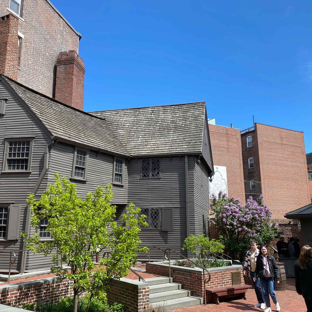
Paul Revere's home, owned and operated as a museum by the Paul Revere Memorial Association for 116 years and counting!
Official page of the American Museum of Natural History in New York City. Open daily, 10 am–5:30 pm.
https://linktr.ee/amnh
The world's leading museum devoted to contemporary design in every form.
HMSC aims to foster an appreciation of science and human cultures within the Harvard Museum of Natural History, Peabody Museum of Archaeology & Ethnology, the Harvard Museum of the Ancient Near East, and the Collection of Historical Scientific Instruments