Special thanks to the FROST.INI project team, especially to Gerald Valentin, and external supporters, including Franz Goldschmidt from the Amt der Kärntner Landesregierung, for their significant contributions to making this effort possible.
04.12.2025 08:36 — 👍 0 🔁 0 💬 0 📌 0

This work is part of the #Interreg VI-A project #FROST.INI, a cross-border initiative fostering cooperation between Austria and Italy. #ScienceAcrossBorders #cohesion #interregitaliaosterreich
04.12.2025 08:36 — 👍 2 🔁 0 💬 1 📌 0

Borehole temperature data from the Großglockner – only the third site for direct permafrost monitoring in Austria – will enhance our understanding of permafrost thaw, #rockfall activity, and #infrastructure stability in sensitive high-alpine environments.
04.12.2025 08:36 — 👍 0 🔁 0 💬 1 📌 0

With bedrock temperatures at -3.3 °C (north borehole) and -2.5 °C (south borehole) below 10 m depth, these values are among the lowest recorded across the Alps, comparable to sites like #Jungfraujoch (3,600 m a.s.l.) and #AiguilleduMidi (3,700 m a.s.l.).
04.12.2025 08:36 — 👍 0 🔁 0 💬 1 📌 0

These boreholes now mark the highest permafrost #monitoring site in the Eastern Alps.
On October 8, high-precision thermistor chains were installed to measure permafrost conditions in the underlying prasinite bedrock.
04.12.2025 08:36 — 👍 0 🔁 0 💬 1 📌 0
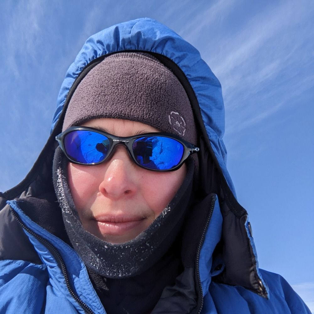
🔙 Flashback to a milestone in #permafrost research in the Eastern #Alps
From September 4–6, we supervised the drilling of two 20 m deep #boreholes just north and south of the Erzherzog-Johann-Hut (3,450 m a.s.l.), Austria’s highest alpine hut and a key base for #Großglockner ascents.
04.12.2025 08:36 — 👍 2 🔁 1 💬 1 📌 0
This publication marks the final output of the #STRATIFY project (2022–2024), carried out in collaboration with Lo.La Peak Solutions and funded by the Austrian Research Promotion Agency.❄️
20.11.2025 12:51 — 👍 0 🔁 0 💬 0 📌 0
from Robert Delleske, @markus-keuschnig.bsky.social, and Rolf-Ole Rydeng Jenssen (NORCE).
20.11.2025 12:51 — 👍 1 🔁 0 💬 1 📌 0
The paper, “Towards slope-scale assessment of avalanche formation: Exploring UAV-borne GPR for unveiling spatial snowpack variability”, was published in "Cold Regions Science and Technology", first-authored by @anna7brunner.bsky.social with contributions
20.11.2025 12:51 — 👍 0 🔁 0 💬 1 📌 0
🧩 And the best part? The system is built from off-the-shelf components, making it easy to access, deploy, and use — not only for researchers but also for practitioners.
Huge shoutout to SPH Engineering for the engineering precision and fantastic support! 🙌
20.11.2025 12:51 — 👍 0 🔁 0 💬 1 📌 0


📏 Our results show a strong correlation with reference measurements: GPR-derived snow depth closely matches probe data, confirming the method’s reliability.
🔍 Even better, UAV-borne GPR uncovers small-scale snow depth variability that conventional point measurements often miss.
20.11.2025 12:51 — 👍 0 🔁 0 💬 1 📌 0
Why it matters:
UAV-borne #GPR has the potential to significantly advance avalanche monitoring and forecasting by enabling detailed, safer, and more efficient slope-scale snowpack investigations — even in challenging terrain.
20.11.2025 12:51 — 👍 0 🔁 0 💬 1 📌 0

The study explores how ground-penetrating radar (GPR) combined with #UAV technology can be used to monitor the snowpack and reveal its spatial variability.
20.11.2025 12:51 — 👍 0 🔁 0 💬 1 📌 0

❄️ Snowy Publication Alert! ❄️
Winter has already arrived in the #Alps — and we couldn’t have asked for better timing for our latest snow-related paper to be published.
20.11.2025 12:51 — 👍 1 🔁 1 💬 1 📌 1
We’re proud to contribute to a deeper, data-driven understanding of our rapidly changing alpine environment.
Many thanks to Henri Wagner (Heise) for shining a light on our research!
17.11.2025 09:40 — 👍 0 🔁 0 💬 0 📌 0
The article also briefly features our #FROST.INI #Interreg project, where we study #permafrost degradation and assess slope stability in the Austrian–Italian Alps, helping to identify #hazards early and support infrastructure operators.
17.11.2025 09:40 — 👍 0 🔁 0 💬 1 📌 0
In the next phase, #MELT-AI will merge these measurements with historical data, #climate records, and future climate scenarios. With the help of advanced ML models, we aim to predict how glaciers will evolve—and when they may disappear completely.
17.11.2025 09:40 — 👍 0 🔁 0 💬 1 📌 0

GPR data processing directly in the field.
What previously required a full day on the glacier can now be covered in 20 minutes thanks to advanced #UAV technology. As Anna puts it: “You can already speak of a small revolution.”
17.11.2025 09:40 — 👍 0 🔁 0 💬 1 📌 0

UAV-borne GPR at Schlatenkees, Venedigergruppe, Austria
... our team is using a combination of drone-based #GPR, #photogrammetry, and #LiDAR to generate highly precise glacier models. For the first time, we can collect thousands of radar measurements across entire glaciers—a major leap forward for #cryosphere research.
17.11.2025 09:40 — 👍 0 🔁 0 💬 1 📌 0

The article highlights how our project #MELT-AI is improving the way researchers understand glacier #dynamics. As @anna7brunner.bsky.social , project lead at @georesearch.bsky.social , explains, ...
17.11.2025 09:40 — 👍 0 🔁 0 💬 1 📌 0
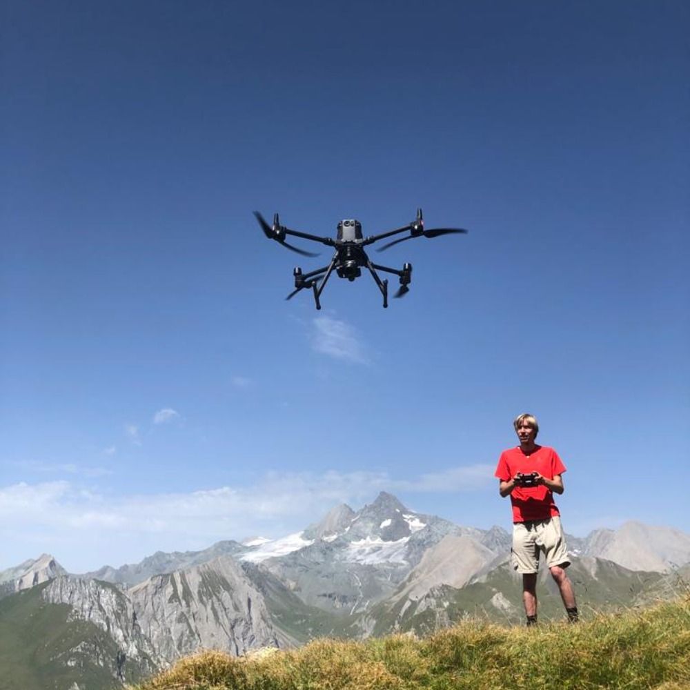
🎥 A short video provides impressions from the field – we thank our partners for their valuable support.
#UAS #BVLOS #ClimateResearch #DJI #Drones #DataCollection #AerialImaging #MountainResearch #AustroControl #Kitzsteinhorn #Sölden #SpektakulAIR #Skyzr
13.11.2025 14:58 — 👍 0 🔁 0 💬 0 📌 0
🛰️ Flights can be scheduled or triggered on demand, offering a new level of responsiveness in remote mountain environments. This achievement marks a significant step toward safe and scalable UAS operations in complex alpine terrain.
13.11.2025 14:58 — 👍 0 🔁 0 💬 1 📌 0
We are now operating three DJI Docks – located at Kitzsteinhorn and Sölden – enabling fully automated photogrammetric and thermal missions. These systems provide critical data for monitoring climate-driven surface changes, incl. glacier dynamics, snow cover variability, and sudden rockfall events.
13.11.2025 14:58 — 👍 0 🔁 0 💬 1 📌 0
📡 Autonomous UAS operations for climate impact research in high alpine regions
This autumn, GEORESEARCH received official BVLOS (Beyond Visual Line of Sight) approval from Austro Control for operating unmanned aerial systems (UAS) from hangar-based systems in two high alpine regions.
13.11.2025 14:58 — 👍 1 🔁 1 💬 1 📌 0

We are proud to contribute this knowledge to future initiatives, building on the legacy of projects like #SedAlp.
Huge thanks to Hohe Tauern National Park for the long-standing collaboration in the Obersulzbachtal!
29.10.2025 07:53 — 👍 0 🔁 0 💬 0 📌 0
and anticipate future sediment availability — enabling resilient and efficient river and hazard management.
29.10.2025 07:53 — 👍 0 🔁 0 💬 1 📌 0

and thawing of isolated permafrost bodies (evidenced by “light” isotopic signatures in meltwater — a trace of older, colder climate conditions). High-resolution, long-term #monitoring like this is essential to understand sediment mobilization, validate debris-flow models,
29.10.2025 07:53 — 👍 0 🔁 0 💬 1 📌 0
This climate-change-induced trend is a growing #risk for #downstream #infrastructure, yet it's still often underestimated. Our latest ground-surface data from Sattelkar indicates rapid warming (+2 to +3 °C per decade!)
29.10.2025 07:53 — 👍 0 🔁 0 💬 1 📌 0
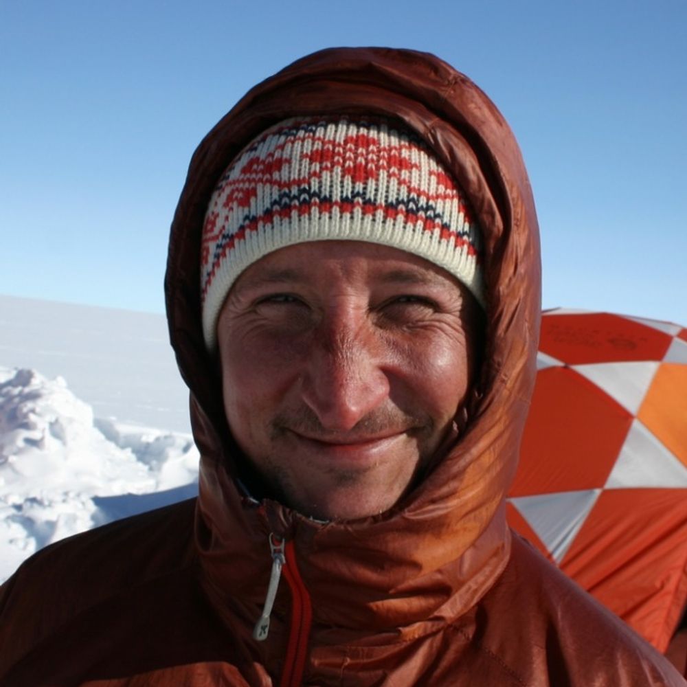
Geophysicist working in cryospheric research in the Alps and Greenland.
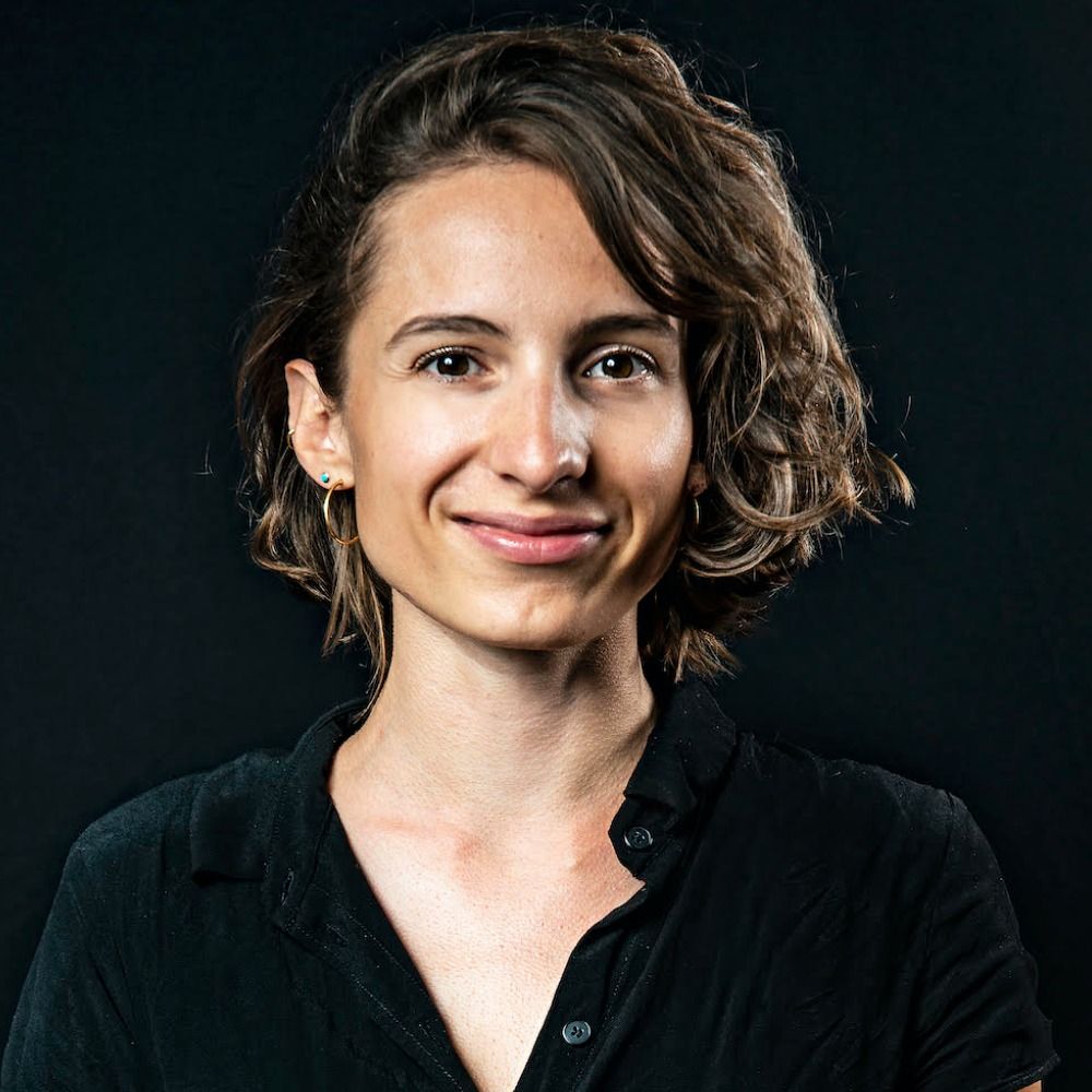
Journalistin @falter.at
Mitgründerin @netzwerkklimajourn.bsky.social, @andererseits.org
all things science, climate, biodiversity
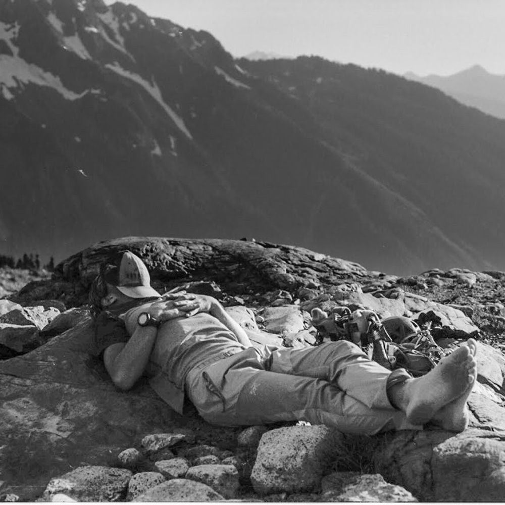
PhD candidate | glacier hydrology - outburst floods - critical disasters | born at 353.7 ppm
dabbling with photogrammetry, astrophotography, GIS and more...
https://sschmaus.github.io/links/
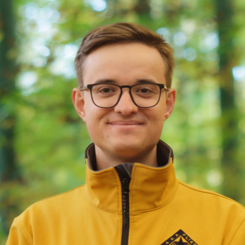
Remote Sensing, Geography, Natural Science, Environment. Scientist @ Department of Geography and Regional Science @Uni-Graz.at
We present accessible information about Europe's glaciers and how the climate crisis impacts them.
Meteorologe im Wienerwald. Begeistert von Wetter und Weltraumwetter, Freund von Schnee, Gewitter und Sturm.
Scientist at heart · Entrepreneur by choice · Turning Earth observation into actionable insight
Die Salzburger Nachrichten sind eine überregionale österreichische Tageszeitung mit einem Verbreitungs-Schwerpunkt im Bundesland Salzburg.
Offizieller account der Universität Salzburg / Official account of the University of Salzburg | plus.ac.at
ICCI is a network of senior policy experts and researchers aiming to spread cryosphere science and preserve the cryosphere's key role in Earth's climate system.
Geophysicist and Glaciologist at British Antarctic Survey
Dr of Ice 👩🏼💻
Working in and studying Antarctica. ❄️
Glaciologist at University of Bristol, loves ice, meltwater, dirt, microbes and inventing new ways to measure them
Geomorphology Division (GM) of the European Geosciences Union
http://egu.eu/gm/
We research ice, ocean and climate.
Website: www.awi.de
Imprint: https://www.awi.de/en/imprint.html
mountains 🏔 sports ⛷ cryosphere ❄️ natural hazards ⚠️ sensors 🌡 algorithms & models 💻 scientist #CERC @SLFDavos
Hier posten für den Deutschen Wetterdienst (DWD) die Pressestelle, die Vorhersagezentrale und die Klima- und Umwelt-ExpertInnen.
Impressum: https://www.dwd.de/DE/service/impressum/impressum_node.html
Fascinated by nature!
Associate Professor for Geology at the University of Salzburg with special interest in landscape evolution, geodynamics and numerical modelling.
www.geodynamics.at
Early-career Glaciology Group (EGG) of the IGS (@igsoc.bsky.social), providing advice & support to ECRs in all areas of cryospheric research! 🧊❄️🏔️🛰️
ORF-Wetter & Klima Kommunikation /
European Climate Pact Ambassador /
Founding Member: Climate without Borders