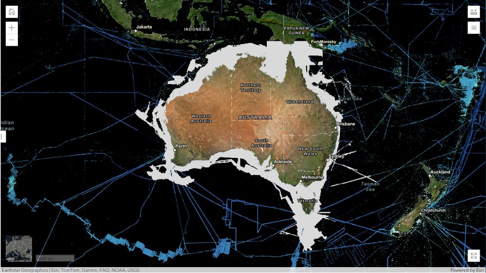
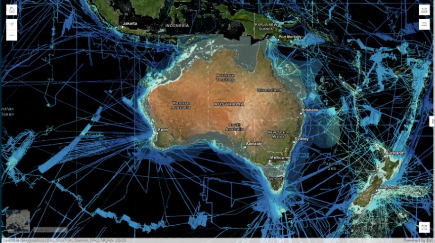
On the left: what we knew 2014 - sparse data points and vast unmapped areas.
The right: ten years on, the picture is dramatically different, with far greater coverage thanks to our dedicated centres and partners worldwide.
🧩 Join us in completing this vital puzzle: seabed2030.org/get-involved
09.10.2025 10:38 — 👍 0 🔁 0 💬 0 📌 0


🗓 What a difference a decade makes!
Want to see it for yourself?
👉 Visit our website and use the interactive slider to explore how much progress has been made in mapping the ocean floor since since 2014.
09.10.2025 10:38 — 👍 1 🔁 0 💬 1 📌 0

🌊 Since we joined forces with NORBIT Oceans, they have helped to strengthen the capabilities of #Seabed2030 and our network - providing innovative solutions for seafloor mapping through bathymetric survey data sets, research voyages, and survey activities.
03.10.2025 12:38 — 👍 0 🔁 0 💬 0 📌 0
🌏 Globally, these contributions help fill critical gaps in the GEBCO grid.
Closer to home, they inform decision-making across offshore renewable energy, hazard modelling, and marine park management - supporting the sustainable growth of Australia’s blue economy.
Learn more ➡️ ga.gov.au
30.09.2025 08:03 — 👍 2 🔁 0 💬 0 📌 0

🇦🇺 Meet our partner Geoscience Australia.
Through the AusSeabed initiative - a national collaboration that coordinates and publishes seabed mapping data across the Australian region - Geoscience Australia actively supports our mission by providing high-quality, accessible data.
30.09.2025 08:03 — 👍 1 🔁 0 💬 1 📌 0
💭 How can you stay up to date with all things #ocean mapping?
The Seabed 2030 Podcast!
Expect:
🗞️ News from Seabed 2030
🎙️ Interviews with the international #hydrospatial community
📡 Updates on mapping technology and methods
Listen now 👉 https://seabed2030.buzzsprout.com
16.09.2025 14:37 — 👍 1 🔁 0 💬 0 📌 0
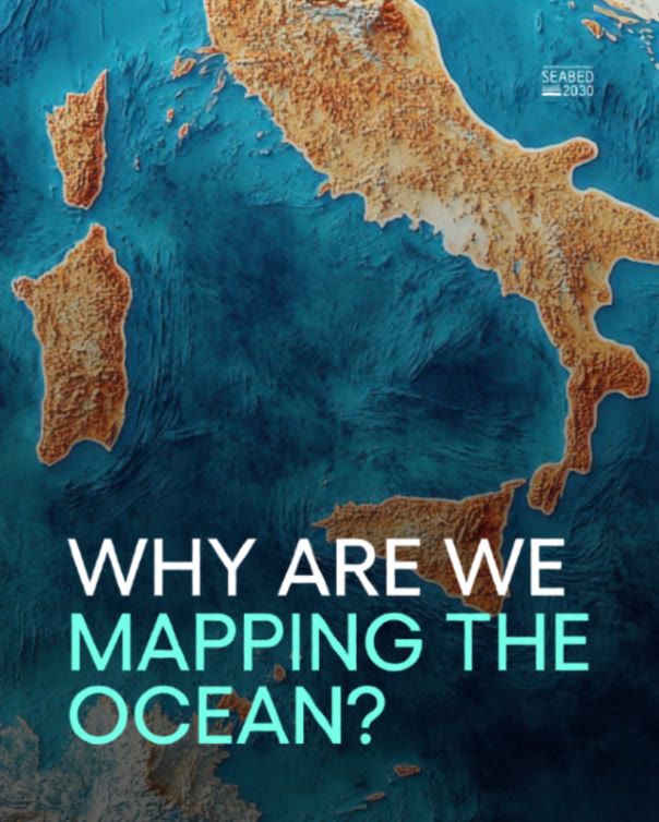
🌍 To date, Seabed 2030 partners have helped map over 27% of the world’s seafloor - and we’re building on that progress every day.
12.09.2025 12:07 — 👍 1 🔁 0 💬 1 📌 0
These were the words William Beebe, deep-sea explorer and co-inventor of the bathysphere, wrote in 1926.
Nearly 100 years later, ocean science has evolved - but that same “expectant enthusiasm” continues to drive those of us working to map the vast unknown seafloor.
10.09.2025 08:02 — 👍 1 🔁 0 💬 1 📌 0

💬 "When we realize the possibilities of deep sea life still unknown to us, every haul of the dredge should be welcomed by an expectant enthusiasm equaled in other fields only by the possible hope of communication with our sister planets." 👇
10.09.2025 08:02 — 👍 1 🔁 0 💬 1 📌 0
While most people don’t make the connection between their WiFi and ocean science, these companies traverse thousands of kilometres of seafloor, collecting crucial #bathymetric data.
08.09.2025 11:22 — 👍 0 🔁 0 💬 1 📌 0
🎙️In the latest episode of Seabed 2030's podcast, Stephen Hall explains how the subsea cable industry - which carries 99% of international internet traffic - has become an unexpected ally in mapping the ocean floor.
08.09.2025 11:22 — 👍 0 🔁 0 💬 1 📌 0
Did you know that right now, as you read this post, your data is likely traveling through massive cables lying on the #oceanfloor - not bouncing off satellites, as many assume?
08.09.2025 11:22 — 👍 1 🔁 0 💬 1 📌 0

📢 We’re excited to sponsor Ocean Floor Explore - an event bringing together ocean explorers, technologists, and more to build new pathways for seafloor mapping and ocean discovery.
🇨🇦 Join us in Victoria, Canada from 26-29 October.
Find out more 👉 www.oceanfloorexplore.org
05.09.2025 15:37 — 👍 1 🔁 1 💬 0 📌 0
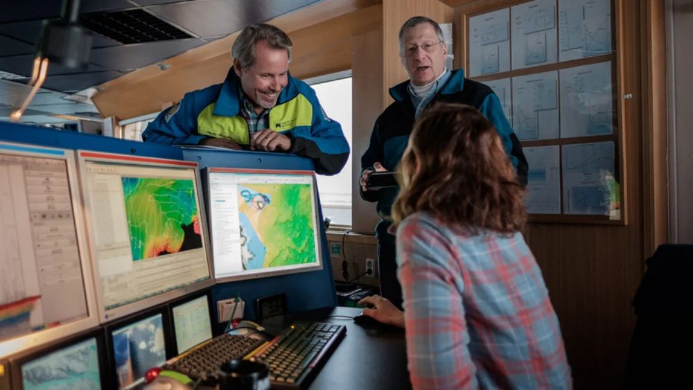
🖥️ Meet QPS - a valued Seabed 2030 partner supporting our mission through advanced hydrographic and maritime software.
QPS provides innovative tools that help process bathymetric data and generate visualisations - supporting the development of the GEBCO global grid.
Learn more 👉 https://qps.nl
04.09.2025 08:50 — 👍 2 🔁 0 💬 0 📌 0

Our Product — Seabed 2030
false
🌎 The GEBCO digital map, comprising bathymetric data supplied by Seabed 2030 and our network of global partners, helps plug critical data gaps - piece by piece completing the puzzle of the planet's ocean floor.
Take a look 👉
03.09.2025 14:46 — 👍 0 🔁 0 💬 0 📌 0
📍 Most maps offer but a glimpse of our planet, only hinting at the vast detail beneath the waves.
For those navigating shipping routes, planning subsea infrastructure, developing climate adaptation policies, or designating marine conservation areas - standard surface maps don't go deep enough.
03.09.2025 14:46 — 👍 5 🔁 0 💬 1 📌 1
We thank the EOMAP team for their continued dedication and look forward to the years ahead.
Learn more 👉 eomap.com
29.08.2025 09:02 — 👍 0 🔁 0 💬 0 📌 0
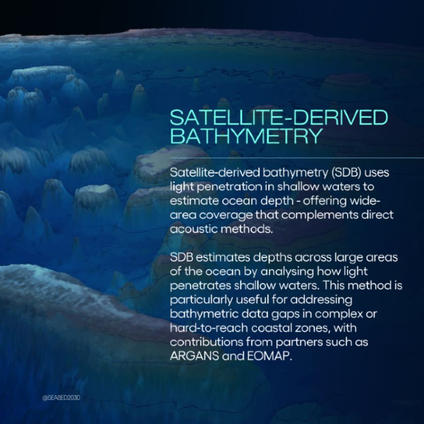
🛰️ EOMAP uses satellite data and smart analytics to map and monitor shallow coastal waters.
Their satellite-derived bathymetry has been integrated into EMODnet, providing baseline information for management of the Great Barrier Reef, among other things. 🪸
29.08.2025 09:02 — 👍 0 🔁 0 💬 1 📌 0
🏝️ Shallow waters are some of the most complex zones to map.
Today, as we mark four years of partnership with EOMAP, we’re celebrating their efforts to fill data gaps in coastal regions. 👇
29.08.2025 09:01 — 👍 0 🔁 0 💬 1 📌 0
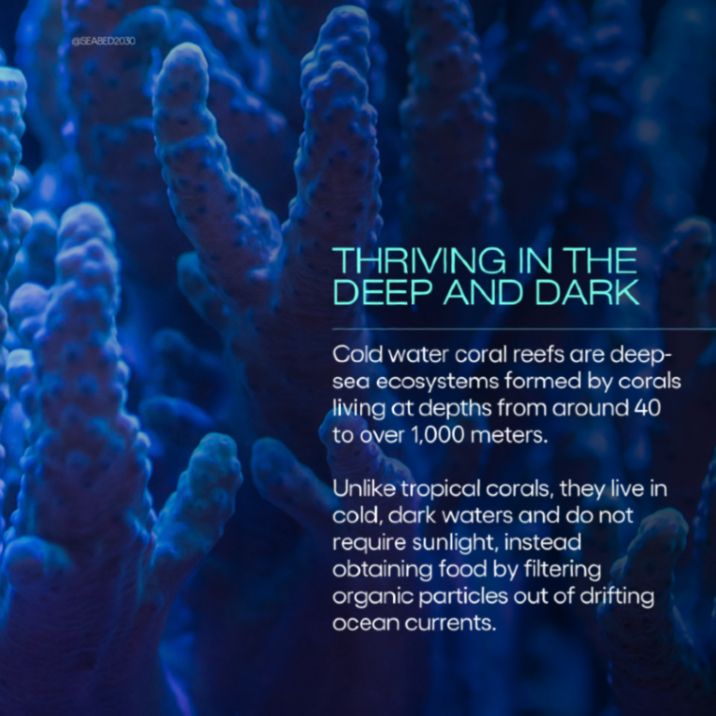
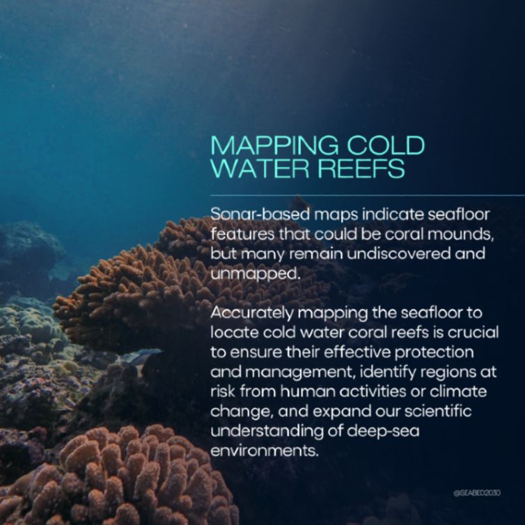
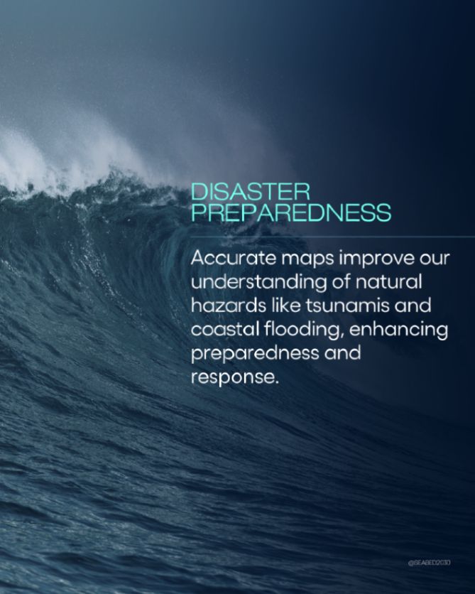
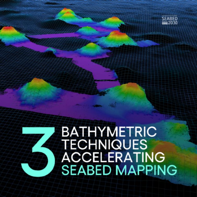
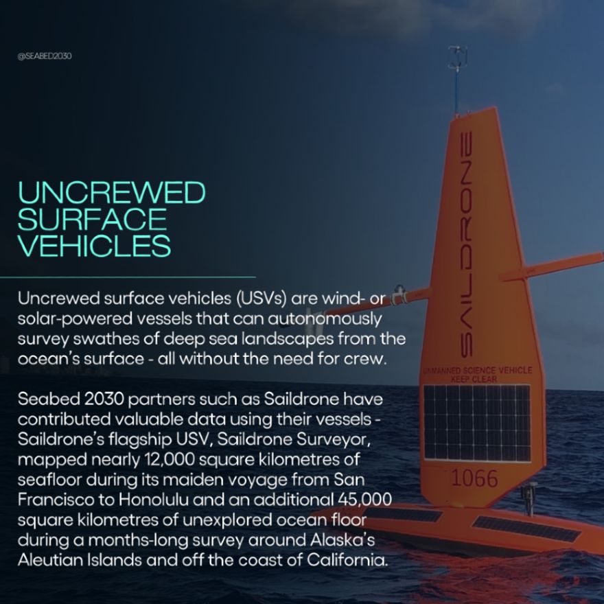
Central to this progress are the technological advancements that enable our partners to map at various depths, at scale, and in complex environments.
👉 Swipe to learn more
27.08.2025 09:02 — 👍 0 🔁 0 💬 0 📌 0
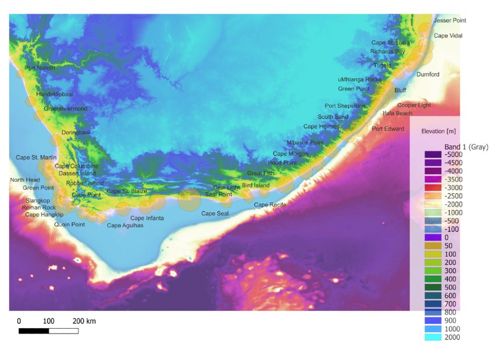
⭕ Can you guess what the circles on this bathymetric chart represent?
This illustration by John Pons depicts South Africa's coastline using underlying bathymetric data from NOAA's 90m resolution digital elevation model.
Take a guess below. 👇
26.08.2025 09:02 — 👍 0 🔁 0 💬 0 📌 0
🪸 A 10-year project has mapped the world’s largest deep-sea coral reef habitat.
The multi-partner study demonstrates the power of automated mapping and analysis methods and long-term partnerships for expanding our knowledge of the seabed.
Read more 👉 https://shorturl.at/1NUU6
23.08.2025 09:01 — 👍 0 🔁 0 💬 0 📌 0
Why mapping the entire seafloor is a daunting task, but key to improving human life : Short Wave
Scientists have mapped less than 30% of the world's seafloor. Experts say that getting that number up to 100% would improve everything from tsunami warnings to the Internet and renewable energy. That'...
This week, @npr.org’s Short Wave podcast featured @deepseadawn.bsky.social, Chief Scientist at Esri and member of #Seabed2030 Strategic Advisory Group.
One of fewer than 30 to reach Challenger Deep, Dawn spoke about how seafloor mapping is integral to so much of life above and below the water. 🌊
22.08.2025 09:50 — 👍 2 🔁 2 💬 0 📌 0


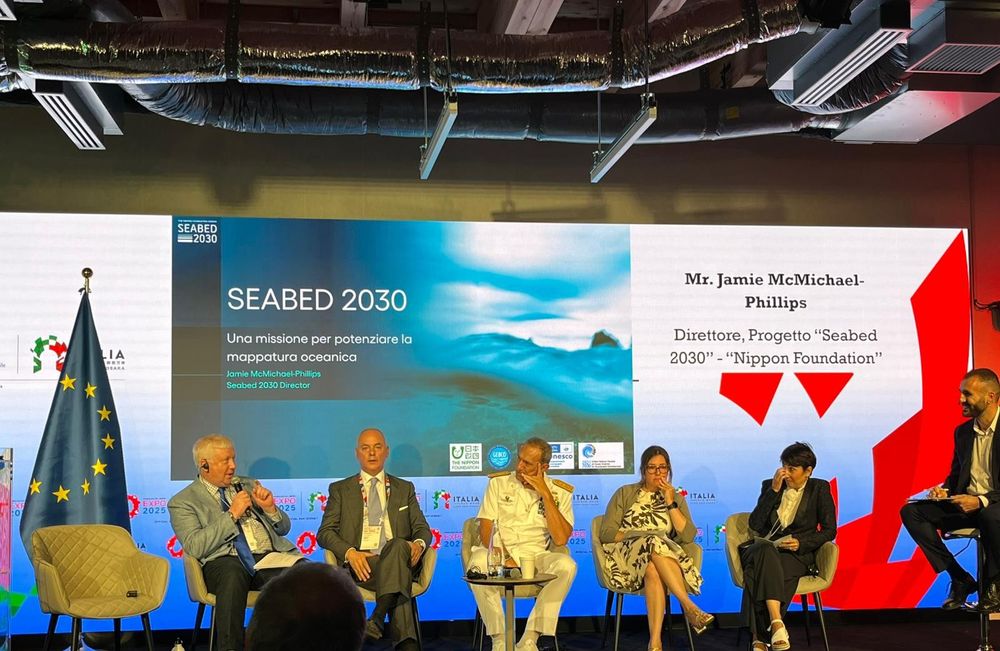
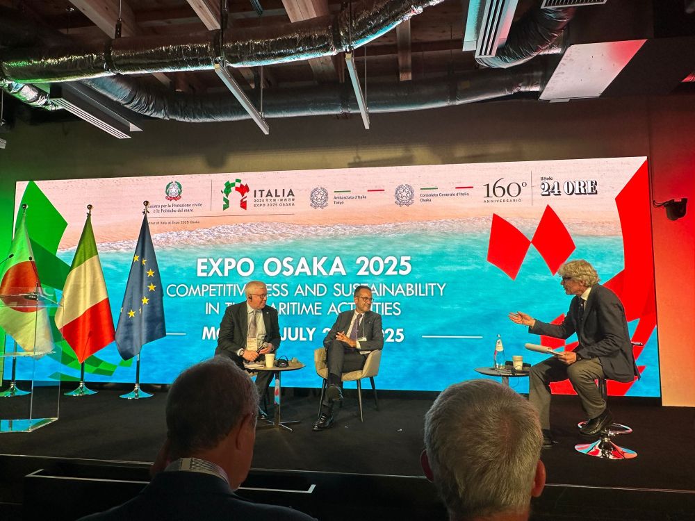
The event also offered an opportunity to reconnect with Marzia Rovere, former GEBCO Vice Chair & Research Scientist at the Marine Sciences Research Institute of the Italian National Research Council.
Grateful to all involved for advancing the conversation on maritime sustainability. 🤝
20.08.2025 11:33 — 👍 0 🔁 0 💬 0 📌 0
Gaining a deeper understanding of our ocean and coastlines through ground-breaking research, collaboration and innovation! 🌊
🖥️ https://noc.ac.uk/
🔗 https://linktr.ee/NOConline
🎙️ https://linktr.ee/nocintotheblue
Website: https://www.geomar.de/en
Imprint: https://www.geomar.de/en/impressum
#OurWorldIsTheOcean
Advancing evidence-based policymaking that supports economic sustainability and social progress in Ireland | ESRI.ie
Entrez dans la dimension géographique avec #ArcGIS la plateforme pour #SIG #TheScienceOfWhere #Géomatique #Géomarketing #BigData #3D #Apps
Seas At Risk has been working for 30+ years to protect the marine environment.
WWF European Policy Office is the embassy to the #EU for the global WWF network, which is active in 100 countries. 🐼
www.wwf.eu
Global pressure group campaigning to protect the world’s ocean.
Registered CIC 14162403 🐟
https://linktr.ee/blue_planet_society
An oceanographic research institute focused on advancing marine science and engineering to understand our changing ocean
French Marine Universities Network https://www.universites-marines.fr
A world leader in the field of marine research, Plymouth Marine Laboratory (PML) delivers impactful science in support of a sustainable ocean future.
Official account of Oceana International. Dedicated to protecting & restoring the world’s oceans on a global scale.
The High Seas Alliance is a partnership of organizations aimed at building a strong common voice and constituency for the conservation of the High Seas. highseasalliance.org
Seafloor mapper, Chief Scientist of smart mapping company Esri, Oregon State U. GIS/oceans professor, EC50, cyclist, 1st Black submersible diver to Challenger Deep, builds w/LEGO, raised in Hawaii. NAS, NAE, ORCID 0000-0002-2997-7611; She/her; views mine
Ocean science, technology & policy consultancy. Supporting global seabed mapping, awareness of sea level rise & UN Ocean Decade. Fellow IMarEST, MTS & SUT; CMarSci.
Licensed/insured drone operator. Tricyclist.
Quaker roots :)


