See more about my research on urban climate, urban morphology, and urban discourses on the following links:
doi.org/10.1016/j.la...
doi.org/10.1016/j.sc...
doi.org/10.1080/1365...
doi.org/10.1016/j.ip...
06.05.2025 13:45 — 👍 2 🔁 0 💬 0 📌 0
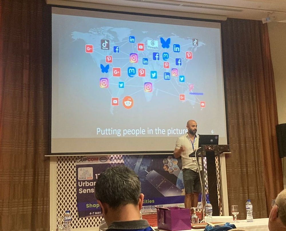
This study highlights how integrating heterogeneous datasets, including remote sensing and user-generated data, enables researchers to incorporate humans as sensors, offering a richer understanding of urban environments that extends beyond traditional physical descriptions in remote sensing.
06.05.2025 13:45 — 👍 1 🔁 0 💬 1 📌 0
In this research focused on Mexico City, I demonstrate that social media content generated by urban residents is both temporally and spatially correlated with air temperature, land surface temperature, and urban morphology.
06.05.2025 13:45 — 👍 0 🔁 0 💬 1 📌 0
These differences have significant implications for research that relies on geotext data, and should be therefore considered.
17.02.2025 19:40 — 👍 1 🔁 0 💬 0 📌 0
In this paper, we demonstrate that different #topics in #textdata exhibit varying degrees of #geospatiality, with some containing more #geographic mentions or #geotagged #locations than others.
17.02.2025 19:40 — 👍 1 🔁 0 💬 1 📌 0
In several research fields, the increasing amount of #geotext data is being integrated to try to understand our world. However, it is crucial to first know its properties and limitations.
17.02.2025 19:40 — 👍 0 🔁 0 💬 1 📌 0

Please take a look at our new #openaccess #research paper "Geospatiality: the effect of topics on the presence of geolocation in English text data", published as part of our cooperation between the @eor-wuerzburg.bsky.social and @dlr-spaceagency.bsky.social:
www.tandfonline.com/doi/full/10....
17.02.2025 19:40 — 👍 2 🔁 1 💬 1 📌 0

New published #paper on the factors influencing the #senseofbelonging of the inhabitants of diverse #settlement types conurbed by an expanding #Mexican #city during the 1970–2010s.
Download the open access paper: doi.org/10.1007/s112...
12.12.2024 17:21 — 👍 0 🔁 0 💬 0 📌 0
The book presents analyzes focused on the #urban #climate in various countries carried out by 34 authors, providing a broad overview of the #urbandevelopment trends in #LatinAmerica and its current and future consequences for #local #climatechange.
09.12.2024 14:23 — 👍 2 🔁 0 💬 0 📌 0
In this book, my colleagues and I aimed to highlight the presence of an important #LatinAmerican #scientific #community focused on the study of the intensifying #urban #heatislands.
09.12.2024 14:23 — 👍 0 🔁 0 💬 1 📌 0

EN: New #openacces #book on "Advances in the study of urban heat islands in Latin America" (In Spanish).
ES: Nuevo #libro de #libreacceso sobre "Avances en el estudio de islas de calor urbano en América Latina".
Download: publicaciones.ciga.unam.mx/index.php/ec...
09.12.2024 14:23 — 👍 3 🔁 0 💬 1 📌 0
👋
09.12.2024 13:45 — 👍 1 🔁 0 💬 0 📌 0
With more and more members of the Earth Observation Research Cluster (EORC) @eor-wuerzburg.bsky.social @University of Würzburg joining #bluesky, I accordingly created a EORC starter pack: go.bsky.app/3s9csp5
Looking forward to more people from our quite versatile research & teaching team joining!
29.11.2024 20:04 — 👍 9 🔁 3 💬 0 📌 0

Don't miss the chance to join us at the 3rd International Workshop on #Geographic #Information #Extraction from Texts #GeoExT at the European Conference on Information Retrieval (ECIR2025) in Lucca, Tuscany, on April 10th 2025.
Deadline: February 2nd, 2025
More info: geo-ext.github.io/GeoExT2025/
28.11.2024 11:54 — 👍 0 🔁 0 💬 0 📌 0

Joint Urban Remote Sensing Event (JURSE)
about | This year (2023), the 28th IEEE ISCC 2023 will be held in Tunis, Tunisia by the summer, from the 9th to the 12th of July.
Don't miss this exciting oppotunity to explore the latest #research on #cities and engage with colleagues doing amazing work at the 2025 Joint #Urban #RemoteSensing #conference #JURSE2025 in Tunisia!
Submission deadline is December 2nd.
I hope to see you there!
More info: 2025.ieee-jurse.org
26.11.2024 11:30 — 👍 1 🔁 0 💬 0 📌 0
This information can complement official sources, adding first-hand information on the mobility and needs of migrants across space, time, topics, and languages, which is crucial to develop humanitarian response plans when time is of the essence.
25.11.2024 12:26 — 👍 0 🔁 0 💬 0 📌 0
Our results on migration patterns are consistent with official sources (R2 = 0.89). Furthermore, topics that were not present in official ground survey results were identified in this research, possibly due to the open communication of migrants on social media compared to predefined surveys.
25.11.2024 12:26 — 👍 0 🔁 0 💬 1 📌 0
Migration was mostly to Germany, Poland, Russia, Romania, and Hungary. “Attack reports”, “donations to Ukrainians”, “humanitarian aid”, “nuclear threat”, and “job search” were dominant topics while being in Ukraine. “Food”, “social media”, “transport”, and “finance” were discussed after leaving.
25.11.2024 12:26 — 👍 1 🔁 0 💬 1 📌 0
In this research, we joined the collective effort to produce relevant information regarding the crisis triggered by the war in Ukraine. We identified mobility patterns and the main opinions and needs of migrants from Ukraine at diverse stages of their migration process based on social media data.
25.11.2024 12:26 — 👍 0 🔁 0 💬 1 📌 0

After more than 1000 days of this ongoin conflict, I share here our manuscript "The voices of the displaced: Mobility and Twitter conversations of migrants of Ukraine in 2022", developed at the @eor-wuerzburg.bsky.social.
The open access paper can be found here: doi.org/10.1016/j.ip...
25.11.2024 12:26 — 👍 3 🔁 3 💬 1 📌 0
This information can complement official sources, adding first-hand information on the mobility and needs of migrants across space, time, topics, and languages, which is crucial to develop humanitarian response plans when time is of the essence.
25.11.2024 12:19 — 👍 0 🔁 0 💬 0 📌 0
Our results on migration patterns are consistent with official sources (R2 = 0.89). Furthermore, topics that were not present in official ground survey results were identified in this research, possibly due to the open communication of migrants on social media compared to predefined surveys.
25.11.2024 12:19 — 👍 0 🔁 0 💬 1 📌 0
Migration was mostly to Germany, Poland, Russia, Romania, and Hungary. “Attack reports”, “donations to Ukrainians”, “humanitarian aid”, “nuclear threat”, and “job search” were dominant topics while being in Ukraine. “Food”, “social media”, “transport”, and “finance” were discussed after leaving.
25.11.2024 12:19 — 👍 0 🔁 0 💬 1 📌 0
In this research, we joined the collective effort to produce relevant information regarding the crisis triggered by the war in Ukraine. We identified mobility patterns and the main opinions and needs of migrants from Ukraine at diverse stages of their migration process based on social media data.
25.11.2024 12:19 — 👍 0 🔁 0 💬 1 📌 0
These findings highlight the varied levels of sense of belonging that exist within cities and emphasize how settlement type continues to shape social bonds even after having been incorporated into a larger urban conglomerate.
19.11.2024 18:53 — 👍 0 🔁 0 💬 0 📌 0
This might be related to the higher number of traditions and festivities which are preserved in old settlements, which promotes local identity and social cohesion.
19.11.2024 18:53 — 👍 0 🔁 0 💬 1 📌 0
Our results show that the conurbing decade, settlement type, and length of residence were the main determinants of the sense of belonging. The inhabitants of "pueblos" (towns in English) which conurbed longer time ago and with a larger length of residence showed the strongest sense of belonging.
19.11.2024 18:53 — 👍 0 🔁 0 💬 1 📌 0
In this study, we analyzed the factors influencing the sense of belonging of the inhabitants of diverse settlement types conurbed by Morelia, a medium-sized Mexican city, during the 1970–2010s.
19.11.2024 18:53 — 👍 0 🔁 0 💬 1 📌 0
Managing Data Editor, NBC owned stations. Public records attorney, journalist, ice hockey player/coach. Former bylines: NY Times , Washington Post, Eye on Ohio, etc.
Hearts= likes OR bookmarks
Senior Researcher @gesis.org // Data Editor @polcommjournal.bsky.social
🔎 political communication (#polsky + #commsky) with text analysis and #rstats (#opendata + #openscience)
🌏 JohannesBGruber.eu
👨💻 research software github.com/JBGruber
GLP is an interdisciplinary network fostering understanding of land systems and generating science-based solutions to local and global land system challenges.
#50YearsOfESA: we're the European Space Agency, keeping you posted on European space activities.
Please see our Privacy Notice: https://esa.int/connectwithus
DRI supports local ways of promoting democracy with impartial analysis and best practice examples, bringing international standards of democracy to life.
Computational geographer. Associate Professor at AMU, Poznan, Poland. Co-author of http://r.geocompx.org, http://py.geocompx.org, and http://tmap.geocompx.org books. #rstats #rspatial #geocompx
https://jakubnowosad.com/
Science for Society. Since 1402.
Impressum: http://go.uniwue.de/impressum
PhD candidate, ifo Institute and DLR-DFD | Inequality, spatial data science, ML
Scientist of Agricultural Remote Sensing and Biodiversity, Working @ https://bsky.app/profile/did:plc:be7t54qaku5zedw7mcdtmu2y EORC Würzburg Germany , @DLR_de, Postdoc @eo_wuerzburg, project: EO4CAM
Geoinformatics. Remote sensing. PostGIS. R/Python. QGIS. Data laundering. https://qgis.es
Spatial Data Science 🧭
Deep Learning ⌨️
Doctoral Researcher at EORC 🛰️
konstide.github.io
Hier postet das Bayerische Landesamt für Umwelt (LfU).
Wasser, Boden, Luft, Natur - alles aus erster Hand für Bayern
🔗Netiquette/Impressum/Datenschutz: http://s.bayern.de/n, http://s.bayern.de/i, http://s.bayern.de/d
Intergovernmental Panel on Climate Change
Spatial Data Science, geography, LiDAR, forests. 🌳🌍 Researcher at the @earth-observation.org at University of Würzburg
Geographer | River Scientist | Spatial Data Scientist
We help people make decisions about the environments they care about with intuitive Earth observation data analytics. #remotesensing #geospatial #Earthobservation #dronesforgood #dronemapping
Building tools for AI datasets. 😽
Looking in AI datasets. 🙀
Sharing clean open AI datasets. 😻
at https://bsky.app/profile/hf.co
Find STAC Catalogs, APIs, Learning Resources, Software and Tools.
https://stacindex.org
Maintained by @m-mohr.bsky.social
Social Media Manager @lfu.bayern.de, Geogeek, Web developer