
Can we science too please??
26.09.2025 09:28 — 👍 1 🔁 0 💬 0 📌 0@uplandresources.bsky.social
Professor; animal science; upland farming; land use; grazing ecology; nutrient use efficiency; GHG emissions. Head, Pwllpeiran Upland Research Centre, Aberystwyth University. 🐑☘️🐐🐂🌱🦙🌳

Can we science too please??
26.09.2025 09:28 — 👍 1 🔁 0 💬 0 📌 0One of these new magnetometers is at Pwllpeiran 👍☀️⚡️
23.09.2025 19:09 — 👍 2 🔁 0 💬 0 📌 0Closing date for applications, October 1st, 2025 ⬇️⬇️⬇️
17.09.2025 04:59 — 👍 4 🔁 5 💬 0 📌 1
We're hiring!🧪🪶
Join our Conservation Science Technical team and help design and develop field equipment for research activities such as tracking and monitoring
Full details here: app.vacancy-filler.co.uk/salescrm/Car...

🗣️ Calling all woodland owners and managers – we need your help to expand a GB-wide network of pheromone traps to help protect Britain’s spruce woodlands from Ips typographus (spruce bark beetle).
🔗 Find out more: ow.ly/rsiF50WOXb2


🌱 Agroecology Map is a Free Software & Open Data 🌍 platform to map agroecological initiatives. Anyone can use, share & improve it! Built for transparency & collaboration 🤝 #Agroecology #OpenData #FreeSoftware #FoodSovereignty #Agroecologia #Agroforestry
🔗 agroecologymap.org/who_we_are

We recently had a series of conversations with upland #farmers @uplandresources.bsky.social, scientists & policymakers and we heard and reached similar conclusions - something has to change and dialogue is needed to determine that change
theconversation.com/family-farme...


Just back from a fabulous few days on Dartmoor talking through priorities for new management trials on commons there 🐏🐂🐴 🔥 🌱🌼🦋🕷️ #molinia #grazing #gorse #farming #biodiversity
15.08.2025 17:06 — 👍 3 🔁 0 💬 0 📌 0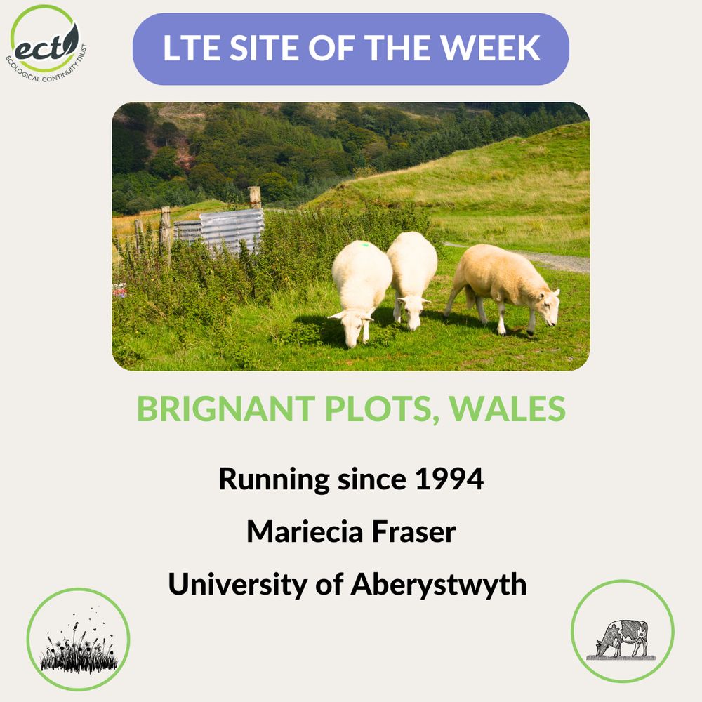
Text: LTE Site of the Week-Brignant Plots, Wales. Photo of 3 sheep grazing. Text: Running since 1994, Mariecia Fraser, University of Aberystwyth. University. Icons for grassland and grazing.
#BrignantPlots, #Pwllpeiran #Wales is the #LTESiteOfTheWeek.
Mariecia Fraser @uplandresources.bsky.social is testing the effectiveness of reducing different types of #LandManagement on #grassland.
bit.ly/Brignant
@ibers.bsky.social @aberuni.bsky.social 🌎
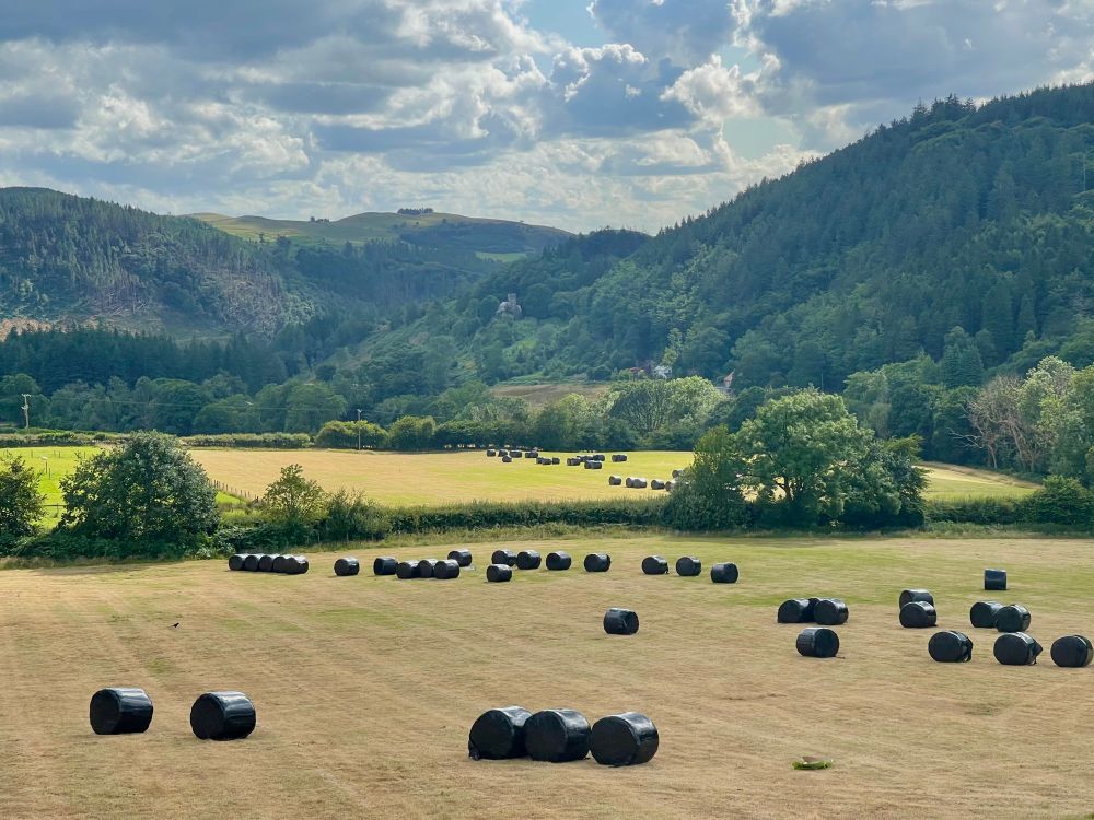
Farmers making the most of the weekend weather ☀️🥵 Upland pasture closed up in April and only harvested now = good for biodiversity. Don’t be fooled by the wrap! #haylage #winterforage #nomowmay
14.07.2025 18:47 — 👍 2 🔁 0 💬 0 📌 0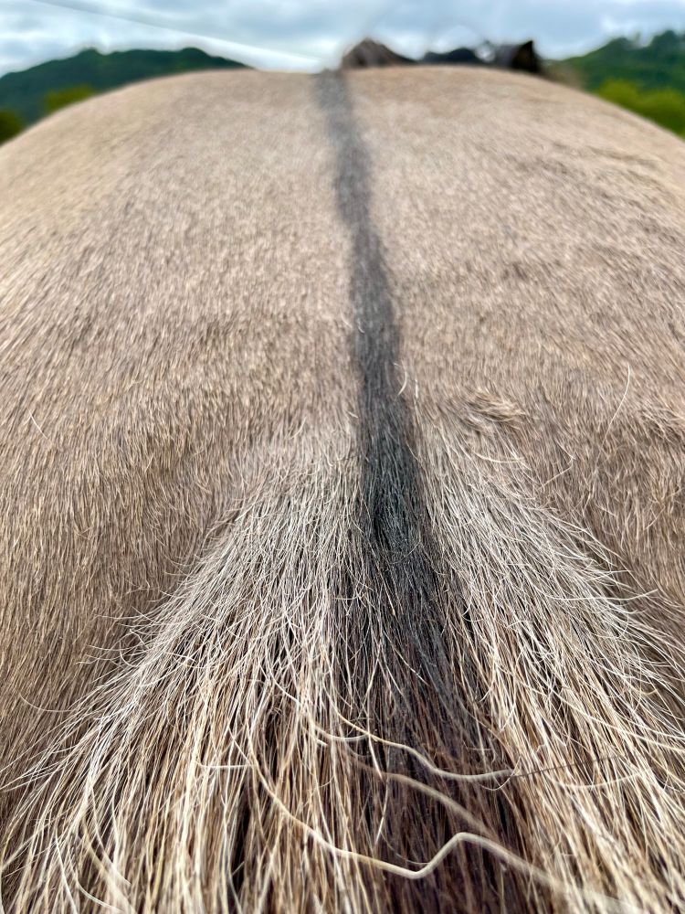
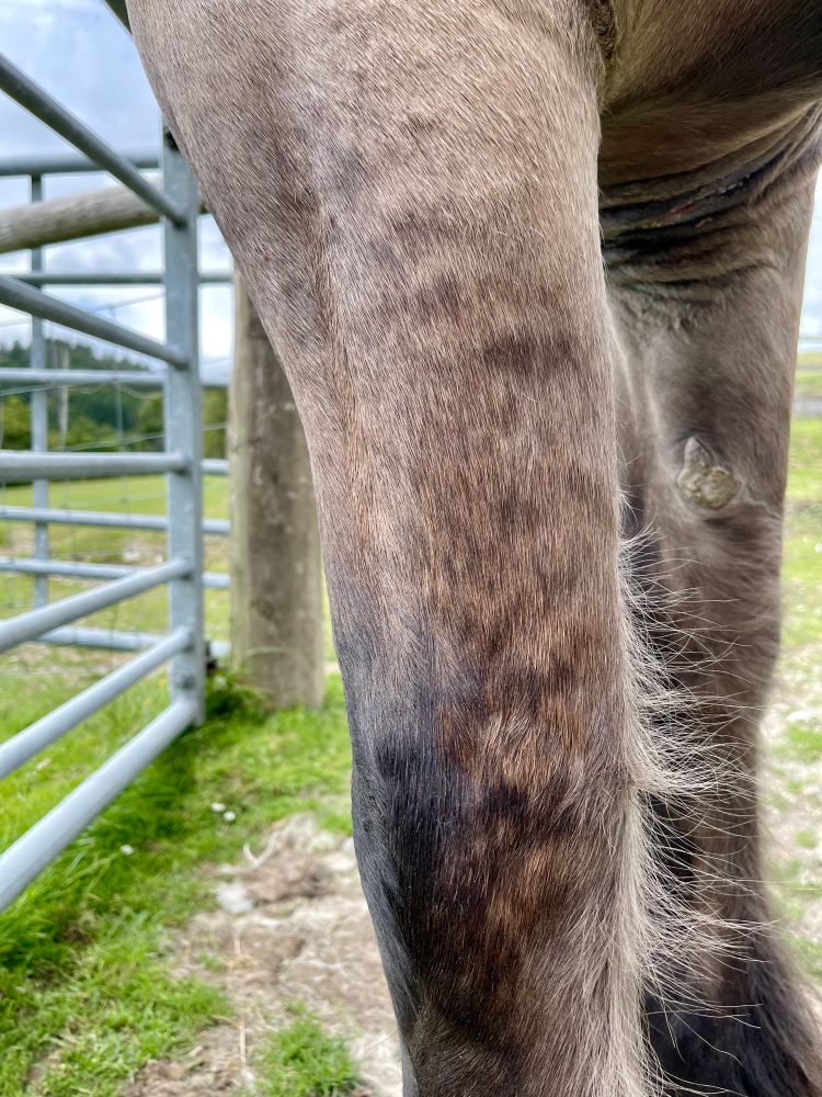
Check out the dorsal line and tiger stripes 😍 With those ‘primitive’ markings he has to be Konik, right?🤔 No. He’s my wonderful Highland pony; representative of just one of Britain’s many native breeds that make equally good conservation grazers #conservationgrazing #ponies
29.06.2025 16:09 — 👍 1 🔁 0 💬 0 📌 0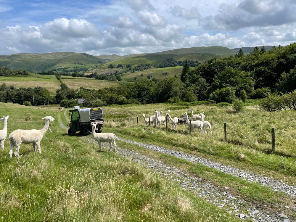
Alpacas out on different types of grassland 🦙 #improvedpasture #SNRG #alpacas
27.06.2025 11:03 — 👍 2 🔁 0 💬 0 📌 0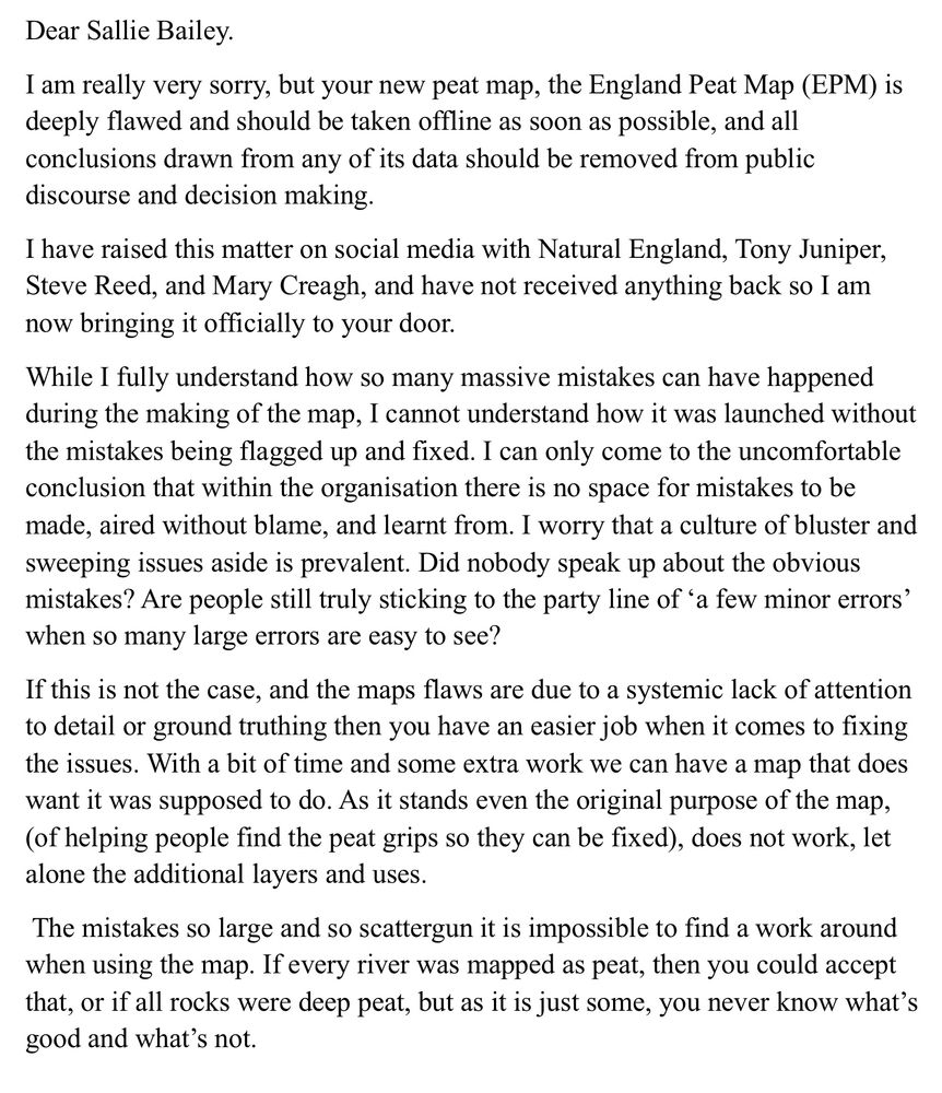
My letter screenshot. Dear Sallie Bailey. I am really very sorry, but your new peat map, the England Peat Map (EPM) is deeply flawed and should be taken offline as soon as possible, and all conclusions drawn from any of its data should be removed from public discourse and decision making. I have raised this matter on social media with Natural England, Tony Juniper, Steve Reed, and Mary Creagh, and have not received anything back so I am now bringing it officially to your door. While I fully understand how so many massive mistakes can have happened during the making of the map, I cannot understand how it was launched without the mistakes being flagged up and fixed. I can only come to the uncomfortable conclusion that within the organisation there is no space for mistakes to be made, aired without blame, and learnt from. I worry that a culture of bluster and sweeping issues aside is prevalent. Did nobody speak up about the obvious mistakes? Are people still truly sticking to the party line of 'a few minor errors' when so many large errors are easy to see? If this is not the case, and the maps flaws are due to a systemic lack of attention to detail or ground truthing then you have an easier job when it comes to fixing the issues. With a bit of time and some extra work we can have a map that does want it was supposed to do. As it stands even the original purpose of the map, (of helping people find the peat grips so they can be fixed), does not work, let alone the additional layers and uses. The mistakes so large and so scattergun it is impossible to find a work around when using the map. If every river was mapped as peat, then you could accept that, or if all rocks were deep peat, but as it is just some, you never know what's good and what's not.
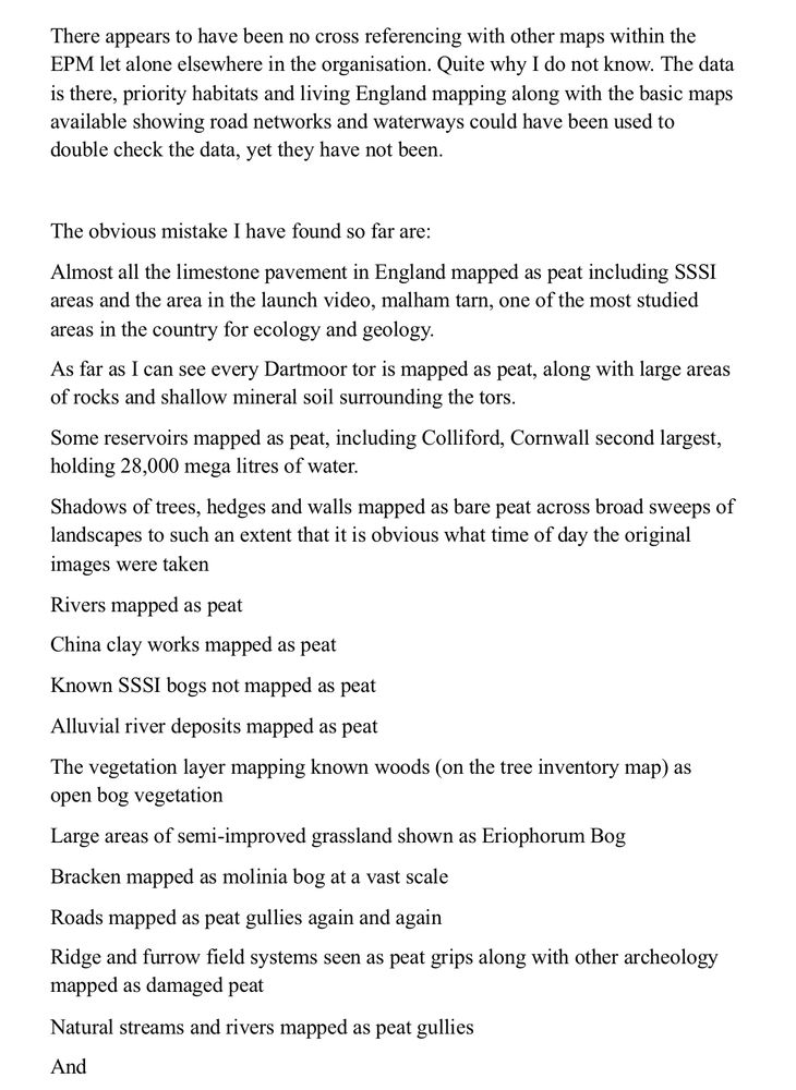
There appears to have been no cross referencing with other maps within the EPM let alone elsewhere in the organisation. Quite why I do not know. The data is there, priority habitats and living England mapping along with the basic maps available showing road networks and waterways could have been used to double check the data, yet they have not been. The obvious mistake I have found so far are: Almost all the limestone pavement in England mapped as peat including SSSI areas and the area in the launch video, malham tarn, one of the most studied areas in the country for ecology and geology. As far as I can see every Dartmoor tor is mapped as peat, along with large areas of rocks and shallow mineral soil surrounding the tors. Some reservoirs mapped as peat, including Colliford, Cornwall second largest, holding 28,000 mega litres of water. Shadows of trees, hedges and walls mapped as bare peat across broad sweeps of landscapes to such an extent that it is obvious what time of day the original images were taken Rivers mapped as peat China clay works mapped as peat Known SSSI bogs not mapped as peat Alluvial river deposits mapped as peat The vegetation layer mapping known woods (on the tree inventory map) as open bog vegetation Large areas of semi-improved grassland shown as Eriophorum Bog Bracken mapped as molinia bog at a vast scale Roads mapped as peat gullies again and again Ridge and furrow field systems seen as peat grips along with other archeology mapped as damaged peat Natural streams and rivers mapped as peat gullies And
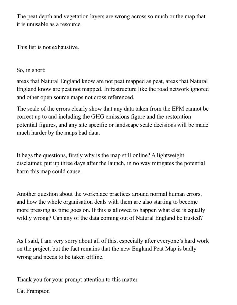
The peat depth and vegetation layers are wrong across so much or the map that it is unusable as a resource. This list is not exhaustive. So, in short: areas that Natural England know are not peat mapped as peat, areas that Natural England know are peat not mapped. Infrastructure like the road network ignored and other open source maps not cross referenced. The scale of the errors clearly show that any data taken from the EPM cannot be correct up to and including the GHG emissions figure and the restoration potential figures, and any site specific or landscape scale decisions will be made much harder by the maps bad data. It begs the questions, firstly why is the map still online? A lightweight disclaimer, put up three days after the launch, in no way mitigates the potential harm this map could cause. Another question about the workplace practices around normal human errors, and how the whole organisation deals with them are also starting to become more pressing as time goes on. If this is allowed to happen what else is equally wildly wrong? Can any of the data coming out of Natural England be trusted? As I said, 1 am very sorry about all of this, especially after everyone's hard work on the project, but the fact remains that the new England Peat Map is badly wrong and needs to be taken offline. Thank you for your prompt attention to this matter
It’s been a whole month since the peat map of England was launched!
It’s still very wrong
And it’s still online
So I’ve written a open letter to @naturalengland.bsky.social
I am starting to worry that massive mistakes are just a thing with the whole organisation.
What else is wildly wrong?
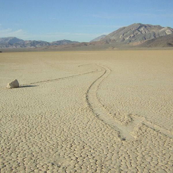
I can vouch that the rainfall in mid Wales most definitely exceeds 25cm!
education.nationalgeographic.org/resource/des...
Whatever happened to nuance?? Dog whistle articles like this only undermine progress towards finding multi-actor consensus on future land management. Hyperbole is no substitute for knowledge.
www.theguardian.com/commentisfre...
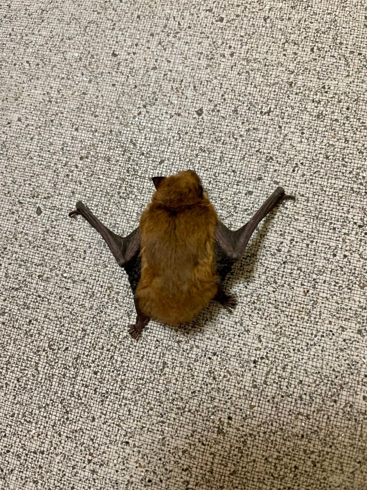
Unexpected visitor at the office today 😯 #bat
30.05.2025 10:49 — 👍 1 🔁 0 💬 1 📌 0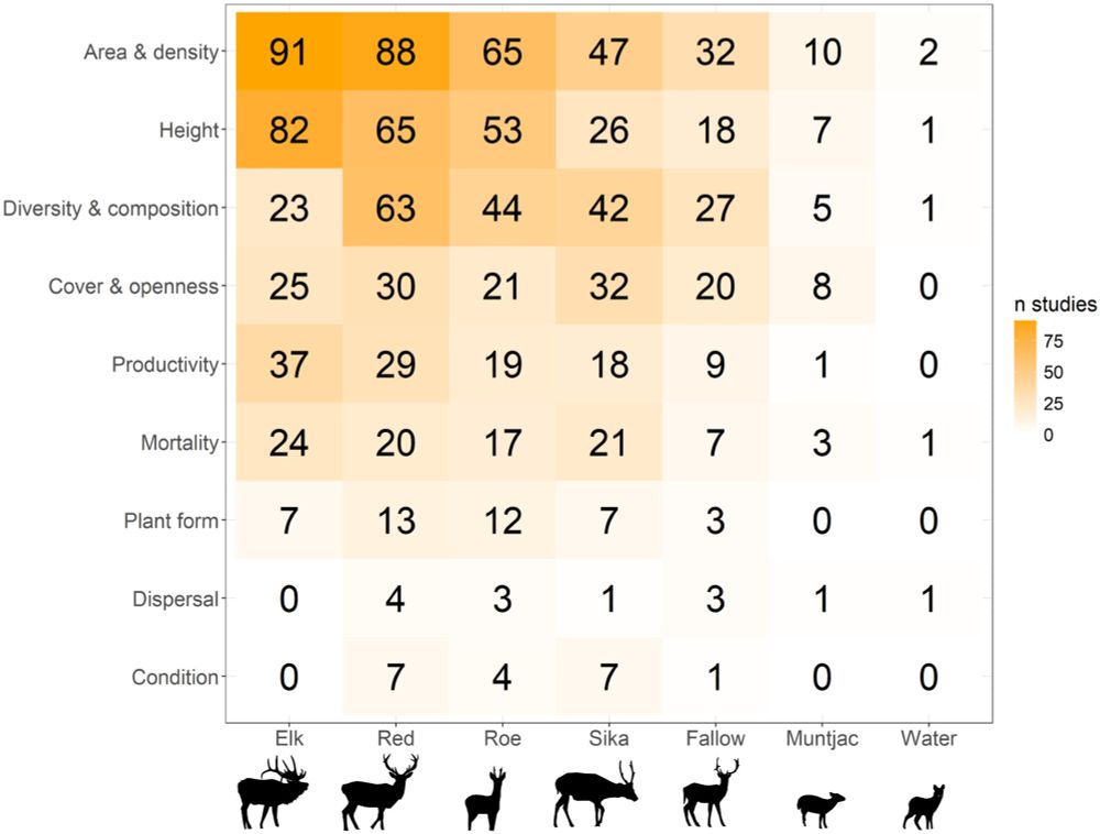
The number of studies reporting the occurrence of each deer species, together with the different effects on woody vegetation that were studied. Note that the numbers in this matrix add up to more than the total number of studies (n = 455), as many studies reported more than one deer species present and more than one effect category.
High deer densities are one of the main challenges in temperate forest restoration and management. But not all deer are the same! In this review we consider the evidence for their impacts on woody vegetation ->
26.05.2025 08:08 — 👍 27 🔁 9 💬 1 📌 1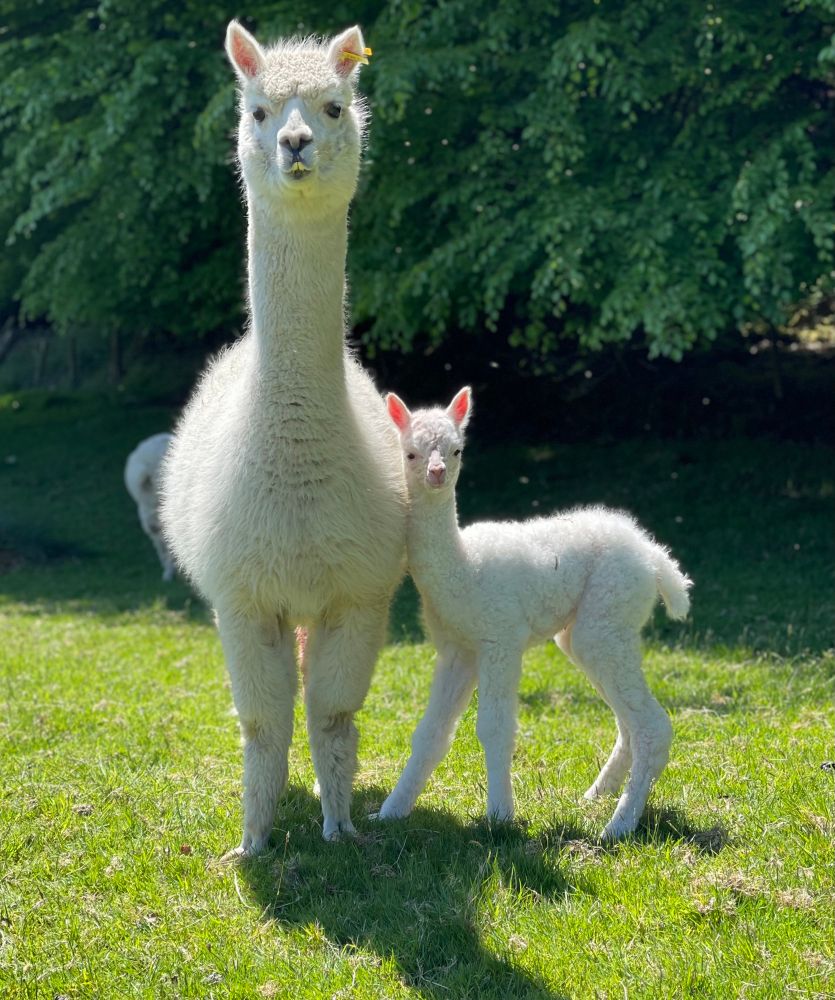
First cria of the year this morning ☺️ She arrived quickly when no one was watching and was up and about in no time 👍 #alpaca #newarrival #cria #cute
16.05.2025 14:03 — 👍 2 🔁 0 💬 0 📌 0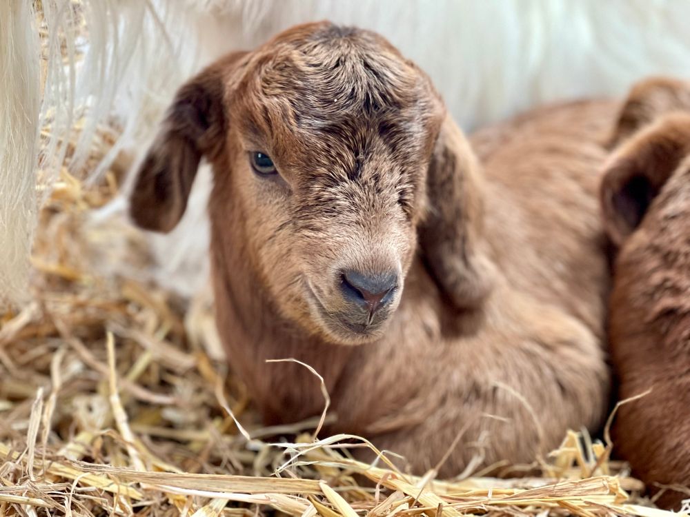
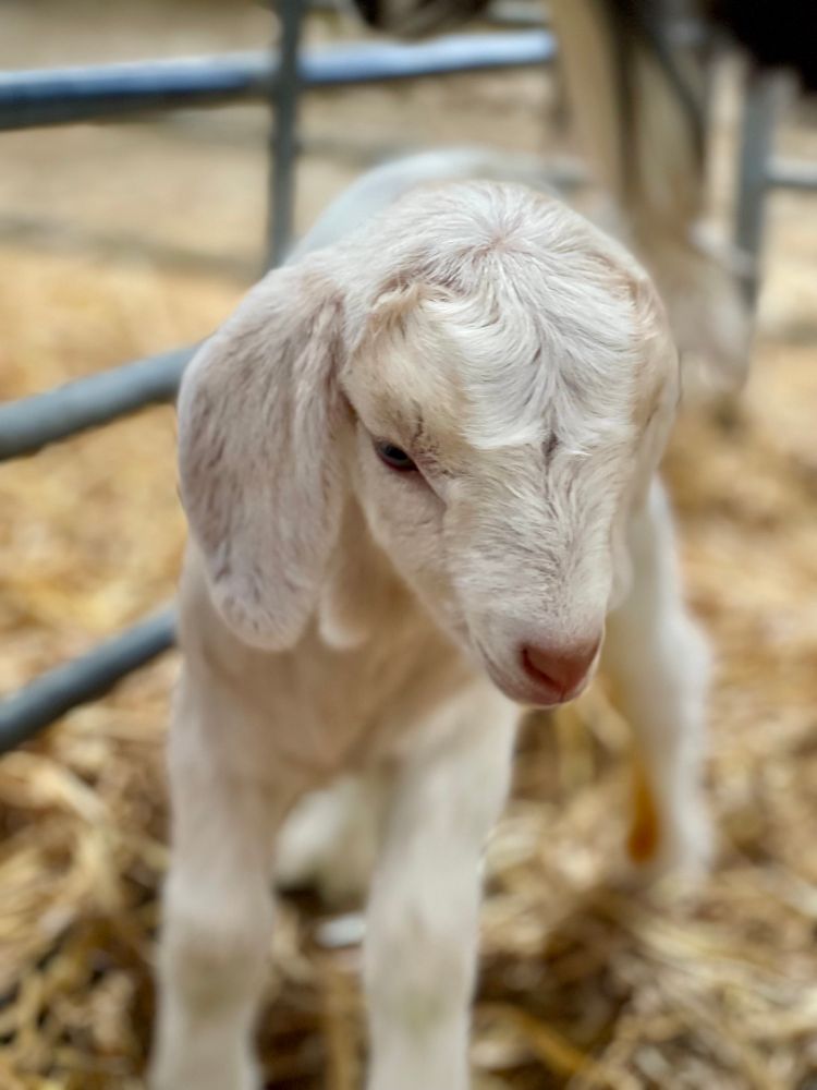
And we’re off! Kidding 2025 is underway #cute #goats
13.05.2025 06:34 — 👍 1 🔁 0 💬 1 📌 0Good to have some of our research from Bronydd Mawr included in this new report 👍 #mixedgrazing #SNRG #sustainable #grassland
sustainablefoodtrust.org/wp-content/u...
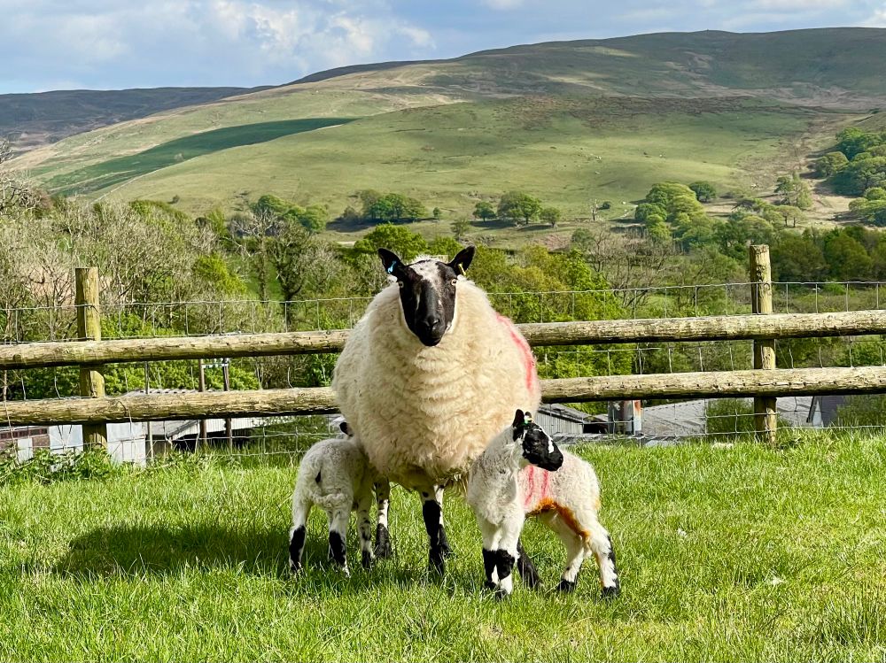
For various reasons we opted to go for a late lambing with the Beulahs, which has tied in perfectly with this amazing weather 💯 Just a few stragglers left now.
05.05.2025 10:27 — 👍 3 🔁 1 💬 0 📌 0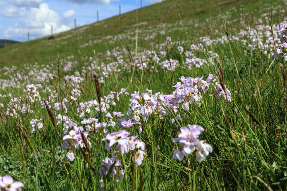
Cuckoos calling all across the valley and the cuckoo flowers are out 🙂 #lovewhereyoulive
02.05.2025 17:28 — 👍 2 🔁 0 💬 0 📌 0The swallows and house martins are back and today I heard the cuckoo for the first time 💚 #springhassprung
26.04.2025 17:36 — 👍 1 🔁 0 💬 0 📌 0
Interesting results from this study using mesocosms created from peat taken from our #GGRPeat demonstration site 👍 #UKRI #IBERS #CO2RE
www.sciencedirect.com/science/arti...
Delighted to be working with Miranda Whall on her project 🙂
22.04.2025 09:52 — 👍 3 🔁 1 💬 0 📌 0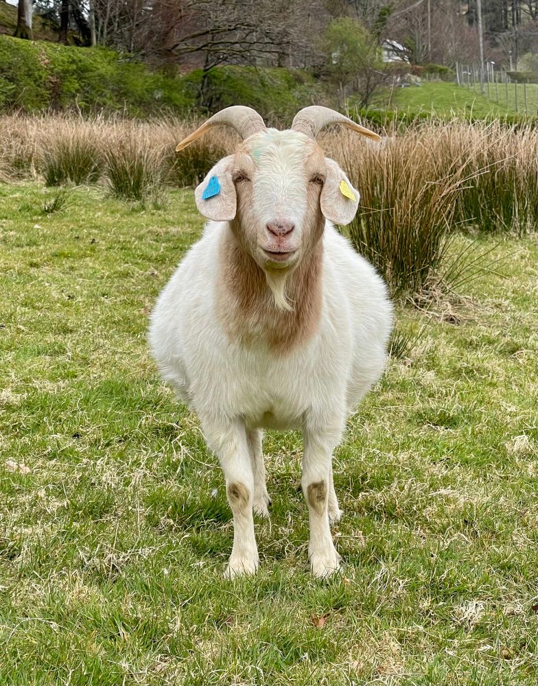
Single or twins? 🤔 #stillsmiling #goats #spring
15.04.2025 14:18 — 👍 1 🔁 0 💬 0 📌 0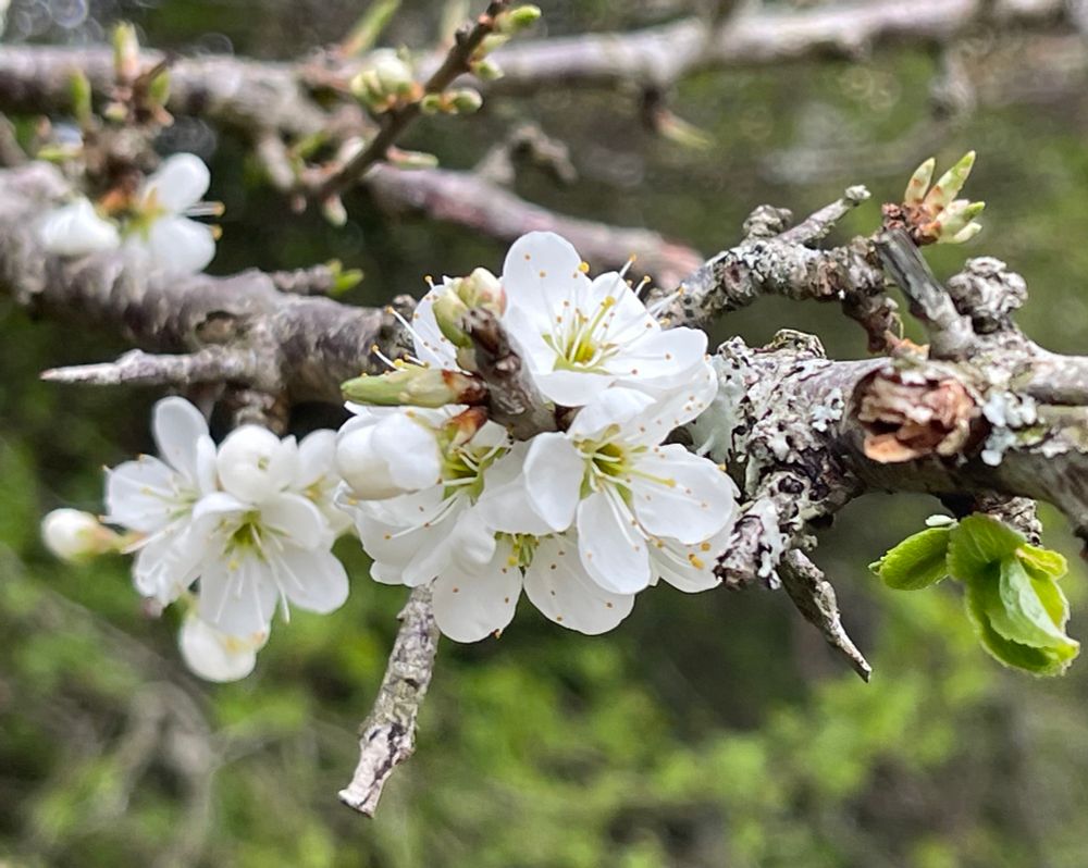
The hedges have all woken up in the last week or so #spring
13.04.2025 07:50 — 👍 1 🔁 0 💬 0 📌 0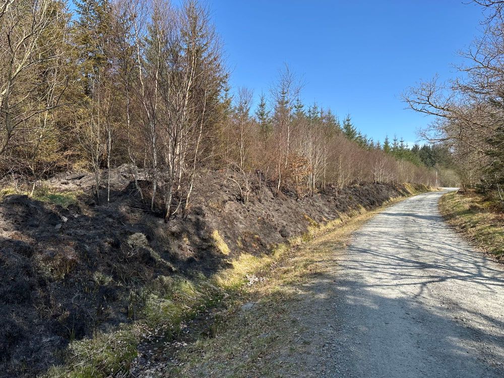
Big areas burning at Ffair Rhos and Cwmrheidol. Last week it was Nant-y-moch on fire for days. Thankfully the one at the Arch and this one were put out quickly.
11.04.2025 07:10 — 👍 1 🔁 0 💬 1 📌 0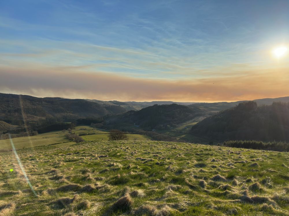
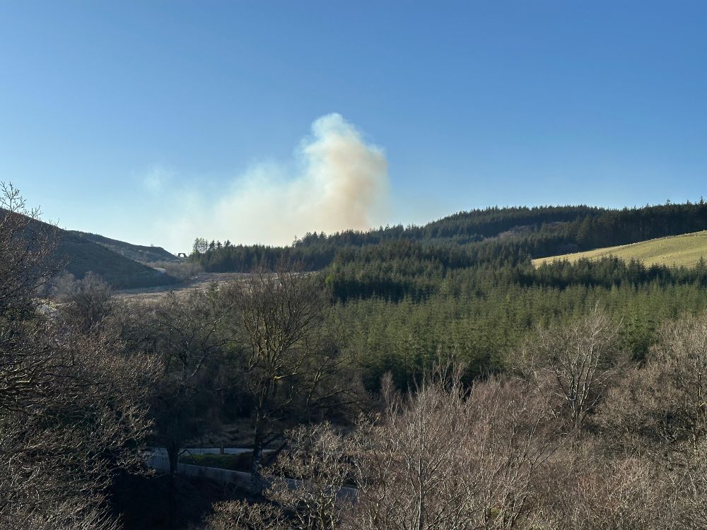
We’ve been talking for years about the increased risk of wildfires due to the fuel load building up on the hills. And now there’s smoke in all directions 🔥😕
11.04.2025 06:33 — 👍 1 🔁 0 💬 1 📌 0