I'm not in NWS, so not-essential
01.10.2025 15:47 — 👍 1 🔁 0 💬 1 📌 0

New pump up music just dropped.
See you on the other side of the shutdown
youtu.be/TA9deCtUNGM?...
01.10.2025 14:23 — 👍 3 🔁 0 💬 1 📌 0
Shutdown
01.10.2025 13:38 — 👍 0 🔁 0 💬 1 📌 0
🤷♂️
01.10.2025 13:12 — 👍 0 🔁 0 💬 1 📌 0

GOOD MORNING FOLKS!
01.10.2025 12:05 — 👍 53 🔁 4 💬 5 📌 0
Kind of
01.10.2025 00:02 — 👍 1 🔁 0 💬 1 📌 0

Justin Timberlake GIF
ALT: Justin Timberlake GIF
Getting an email at 11:25am eastern with an action that's due by close of business September 30th.
30.09.2025 15:58 — 👍 12 🔁 1 💬 2 📌 0

My string of #Helene talks comes to an end this Friday in Downtown Asheville. If you're around, please join us!
29.09.2025 21:01 — 👍 16 🔁 4 💬 0 📌 0
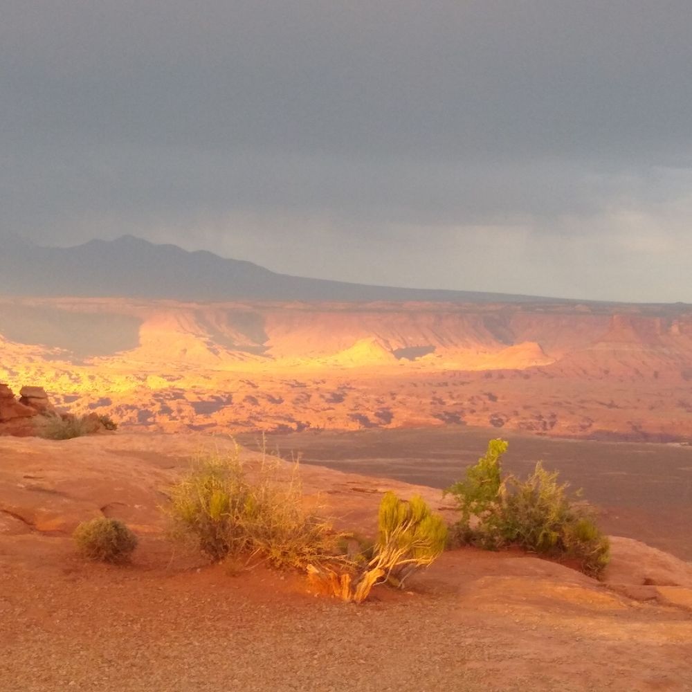
Moment of Zen:
High Falls,
DuPont Stare Forest,
North Carolina.
28.09.2025 17:42 — 👍 40 🔁 11 💬 0 📌 1
I think yes Humberto is going to pull it away
28.09.2025 15:50 — 👍 2 🔁 0 💬 0 📌 0
This is PRECISELY why folks can't take just one forecast and use it as gospel over a period of time.
The models for #TD9 were super tricky, and 48 hours ago we were thinking about a landfall in the Carolinas as a possibility.
Now it's going to take a literal right turn!
28.09.2025 15:35 — 👍 63 🔁 17 💬 12 📌 6
“If it hits you, it’s just not your day.”
90% of people struck by lightning survive but many have lifelong injuries. We still see around 20 deaths from lightning every year in the U.S.
We’ve seen 5 deaths in the U.S. in September alone.
27.09.2025 17:38 — 👍 18 🔁 11 💬 2 📌 1

The best course of action right now remains to continue monitoring your trusted sources for forecast updates, especially in the Bahamas and along the coast in the Carolinas, and ensure you have hurricane plans prepared in case of major impacts. (graphic from NHC)
27.09.2025 02:16 — 👍 15 🔁 8 💬 0 📌 0
Western NC: Keep Calm and Be Prepared
#NCwx
27.09.2025 00:58 — 👍 19 🔁 4 💬 0 📌 0

Potential Tropical Cyclone 9 looking like it's going to be a serious rainstorm for the eastern Carolinas
The goalposts of possible rainfall totals in the Carolinas are quite wide
Here is our evening update on Potential Tropical Cyclone 9, a system likely to become Imelda, hit the Bahamas, and then threaten the coastal Carolinas with very heavy rain. Details on the rainfall scenarios.
#ncwx #scwx
27.09.2025 00:08 — 👍 38 🔁 16 💬 2 📌 6

Woof #PTC9
26.09.2025 20:58 — 👍 14 🔁 2 💬 1 📌 1
Helene was also PTC9
26.09.2025 20:37 — 👍 11 🔁 2 💬 1 📌 0

We continue to monitor Hurricane Humberto and AL94 in the Atlantic.
Make sure to check hurricanes.gov for the latest forecast.
26.09.2025 16:45 — 👍 133 🔁 30 💬 5 📌 7

Plot of vertical temperature profiles measured by Argo floats for the top 120 meters of the ocean within 94L's outlook area as of 12 UTC 26 September. Inset map shows the locations of each profile where the line color matches the dot color.

Line plots of area-averaged daily sea surface temperature (SST) in the subtropical North Atlantic as of September 25, 2025. Black shows the 1991-2020 average, red shows 2023, orange shows 2024, and blue shows 2025 (so far). An inset map depicts September 25th's map of anomalies, where the dashed box represents the averaging region used to make the line plot values. These are computed from NOAA's OISST dataset using Python.

Infrared image from UW-CIMSS for 1420 UTC on 26 September centered on 94L (the "I" label) that also shows 200-850-hPa (deep layer) vertical wind shear. Green contours imply weak shear, yellow imply moderate shear, and red imply strong shear. Higher vertical wind shear tends to get in the way of tropical cyclone development.

Map of total precipitable water derived from microwave imagery by UW-CIMSS for 1100 UTC on 26 September centered on 94L (the "I" label). Higher values (orange, brown, pink colors) imply more moist air, and more moisture can support the thunderstorms that "power" a future tropical cyclone.
The tropical wave labeled 94L (no, I won't name it in advance) has warm water, moderate to low vertical wind shear, and plenty of moist air ahead of it. The system is partly over land today, delivering heavy rain and gusty winds to the Dominican Republic, Haiti, and the Turks and Caicos Islands.
26.09.2025 15:51 — 👍 17 🔁 5 💬 0 📌 0
Simple yet powerful.
Hurts me as a parent too
26.09.2025 15:14 — 👍 1 🔁 0 💬 0 📌 0
While the #Helene anniversary has been traumatic for most in the area (and the tropical situation isn't helping). the use of photography is important tel tell the story.
And as media will come and go with the anniversary, the stories should still be told, so we do not forget.
26.09.2025 14:38 — 👍 4 🔁 1 💬 1 📌 0

Helene in Southern Appalachia
One year later: An event analysis and how we move forward.
Even if you're not from here, I'd suggest you check it out
Yes you can get your "disaster porn" fix , but you can also get the personal experiences from folks who lived through the event.
We even got permission from them to use photos for our story map
storymaps.arcgis.com/stories/8887...
26.09.2025 14:38 — 👍 4 🔁 1 💬 1 📌 0

Come Hell or High Water
In late September 2024, Tropical Storm Helene ripped through Western North Carolina. Helene eclipsed the Great Flood of 1916, and is now the most significant natural disaster in our region’s r…
The @buncombecounty.bsky.social special collections group developed a website called "Come Hell or High Water" which is a fantastic website documenting EVERYTHING about #Helene.
It includes photos, videos, and oral histories.
specialcollections.buncombecounty.org/helene/
26.09.2025 14:38 — 👍 5 🔁 2 💬 1 📌 0
I've said before here and in local talks I'm not going to show damage photos. And I still probably won't.
HOWEVER they can serve as a reference for both past and future events, cause guess what? It's probably going to happen again!
26.09.2025 14:38 — 👍 3 🔁 0 💬 1 📌 0

They say pictures are worth a thousand words, which can be cliche, but it's SO true.
When @wxbrad.bsky.social saw that downtown Boone NC, an area not near a river, was flooding similar to their flood of 1940, he knew it was going to be bad.
26.09.2025 14:38 — 👍 3 🔁 1 💬 1 📌 0

But, what was helpful were the IMAGES.
This image is not from #Helene, but rather 2004.
When I saw the forecast for Helene, I knew that it was going to be like this, if not worse.
26.09.2025 14:38 — 👍 4 🔁 0 💬 1 📌 0
Climate scientist at the Royal Netherlands Meteorological Institute and principal scientist for the European Climate Assessment & Dataset - providing the E-OBS dataset.
Teaching assistant professor @climasuiuc.bsky.social. I run our online graduate programs, teach Python/weather, and research 🌪️. Partner to @chumesog.bsky.social. Aficionado of mountains, dancing, and lattes. Opinions mine.
aspiring meteorologist | aurora and astro photographer | 19 |
My archival data website: https://www.eyewallwx.network/
🌃18 🌪️ 0
Mad (Social) Research Scientist | Occasional Photo Guy | Severe Local Storm Enjoyer | Terminal Nerd
Meteorologist @NWSGSP | Formerly @NWSJacksonMS | UNC Charlotte '15 MS Meteorology | UNC Asheville '13 BS Atmospheric Science | All opinions are my own
Geoscientist and resilience policy wonk. NOAA and White House OSTP45 & OSTP46 alum. Mama to 2 great kiddos. Part of my heart lives in the red dirt of S. Utah. Personal account - views mine.
Science reporter with a background in design, and the 2025-26 climate desk reporting fellow at the NYT. I welcome all thoughts on my work -- don't hesitate to reach out at sachi.mulkey@nytimes.com
· Lead Meteorologist (UNCA '21) for Ryan Hall on YouTube—forecaster & climatologist (https://youtube.com/ryanhallyall)
· Twitch Partner—world record Nintendo speedrunner (https://twitch.tv/bluekandy)
· Full time blue dog & boyfriend 🧡🏳️🌈
WxRisk Autumn 2025 Winter 2025-26 : I do SCIENCE. Anything else is BS. Atheist. ENTP. Black Swan Events. Chaos Theory. Dinosaurs. Phillies. Eagles Pronouns: T-REX. Trump is a retard
The WxRiskGrains twitter page is Just for my Ag weather comment
Geologist who studies tiny minerals that tell big stories. Professor at App State, Nat Geo Explorer, EC50'22. Opinions my own.
Bloomberg journalist covering climate & energy transition in Australia and beyond. She/her.
Stories here: https://www.bloomberg.com/authors/AVpmg49A96U/keira-wright
Former museum professional, current librarian. Interested in pretty much anything!
* Christian; Husband; Dad
* SPC Chief of Science & Support
* OBU Assistant Professor of Natural Science
* Former Bear poker turned Bear
Weather Strategist, Atmospheric Scientist, consultant, youth coach - XC, basketball, soccer
Welcome to a new era of weather monitoring on a mobile device.
Download the iOS app for free today: https://apps.apple.com/app/weatherfront-radar-models/id6739154126
Climatologist by training. Working for the Huron River Watershed Council. Currently focused on climate resilience and addressing PFAS. Nature photographer on the side. Hike, pedal, and paddle whenever I can.
We are an independent, nonprofit successor to Climate(.)gov, safeguarding public access to trusted climate data, tools, and information.
Donate: https://donorbox.org/climate-us-protected-by-you
Meteorologist | Ohio State University ‘21 & ‘23
Wannabe leader of the secret society of Weather Illuminati.