🌍 10 Ways to Bring Your Data to Life with 3D Maps
Maps are no longer just flat visuals. With the right tools & data, you can create 3D maps that turn complex datasets into captivating stories.
Here are 10 types of 3D maps you can create, the data sources you'll need, and tutorials to get started ⬇️
22.12.2024 15:50 — 👍 64 🔁 16 💬 5 📌 5
go.bsky.app/Kgs8qMR
16.11.2024 16:27 — 👍 103 🔁 43 💬 52 📌 1
This is still a work-in-progress starter pack, but at least it’s now starting to feel ready to share.
Use this if you’re looking to (re)connect with some AAPI voices.
go.bsky.app/R6AoW5Q
20.11.2024 15:01 — 👍 428 🔁 183 💬 84 📌 11
Did you know? FIRST 6 programmers of famous ENIAC computer were women? Kay McNulty, Betty Jennings, Betty Snyder, Marlyn Wescoff, Fran Bilas & Ruth Lichterman. Their work was not recognized until 1997!
#WomeninTechnology
#WomeninScience
#GeoWomen
#WomeninGIS
#HiddenFigures #DYK
15.02.2018 16:41 — 👍 4 🔁 2 💬 0 📌 0
go.bsky.app/VEqPkTJ
26.11.2024 11:30 — 👍 21 🔁 10 💬 3 📌 0
Remember - seek out and value the voices of those you hear less, especially when there is a structural issue that is hiding people in plain sight.
And don't treat anyone as a token.
25.11.2024 13:21 — 👍 10 🔁 2 💬 1 📌 1
Quite clear that this ^ one is going to fill up, so I’ve started a 2nd one. Please continue to follow for ocean scholars and let me know if you’d like to be added. 🌊
go.bsky.app/4wMsfX4
22.11.2024 20:01 — 👍 36 🔁 17 💬 9 📌 1
OK, here's my first starter pack. Honestly struggled a bit to find peeps! Pls let me know who's here that I'm missing so that I can grow this properly for drone mapping peeps! go.bsky.app/SXVsHzs
24.11.2024 22:15 — 👍 37 🔁 15 💬 16 📌 1
“Experts and scientists are migrating to Bluesky in record numbers.” Welcome if you’re new (and if you’re not, please help by reposting) - here’s a starter pack for the #biodiversity science-policy community:
go.bsky.app/LjV86zg
24.11.2024 18:18 — 👍 373 🔁 182 💬 38 📌 7
(Part 1 is here: go.bsky.app/4PMRhNL)
21.11.2024 07:02 — 👍 10 🔁 4 💬 1 📌 0
There's so many EO and remote sensing people on here now that I've had to make a second starter pack! 🤯🛰️
Please follow all these awesome people too - and let me know if you'd like to be added!
go.bsky.app/UeL1FL1
21.11.2024 07:00 — 👍 59 🔁 18 💬 21 📌 1
I've had a go at setting up a starter pack of Marine Earth Observation folks! Still finding all my favourite space pirate types over here so let me know if you'd like to join us 💙🌍🛰️🌊
go.bsky.app/4XvTCUB
22.11.2024 08:27 — 👍 50 🔁 24 💬 14 📌 2
I didn't see this already, so I went through my follow list and made a Starter Pack for Women+ in geo & EO - very broadly.
I'm reminded how lopsided the gender divide is still in our field when I get 1 woman follower for every 10 men. It's particularly noticeable right now.
go.bsky.app/Ay1iTTe
21.11.2024 21:46 — 👍 217 🔁 98 💬 53 📌 9
Hi, thanks so much for initiating this! I would like to be added, thank you! 😊
22.11.2024 01:40 — 👍 2 🔁 0 💬 1 📌 0
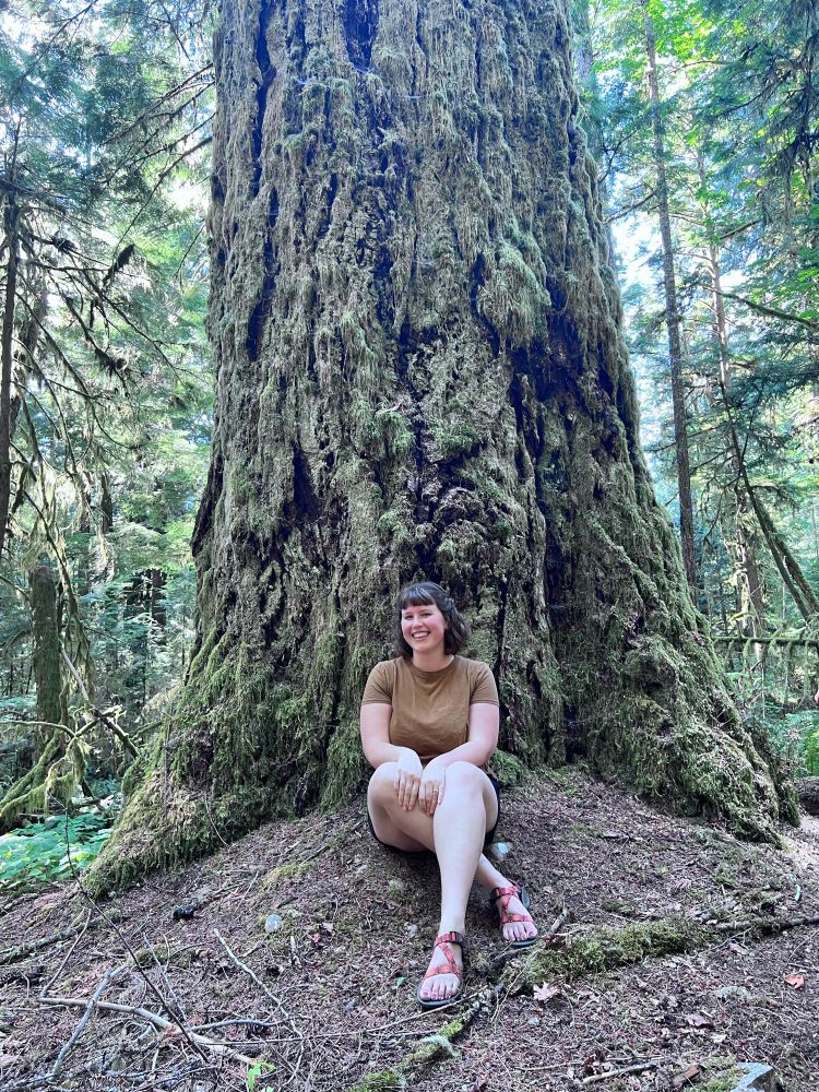
Smiling woman in brown shirt and sandals sits in front of large douglas fir tree covered in moss in a Vancouver Island forest.
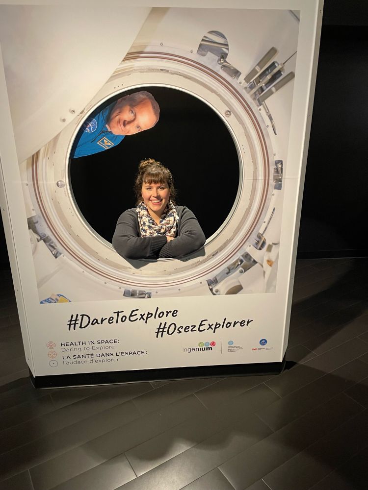
Smiling woman with scarf kneels in center of pretend window with astronaut from space shuttle
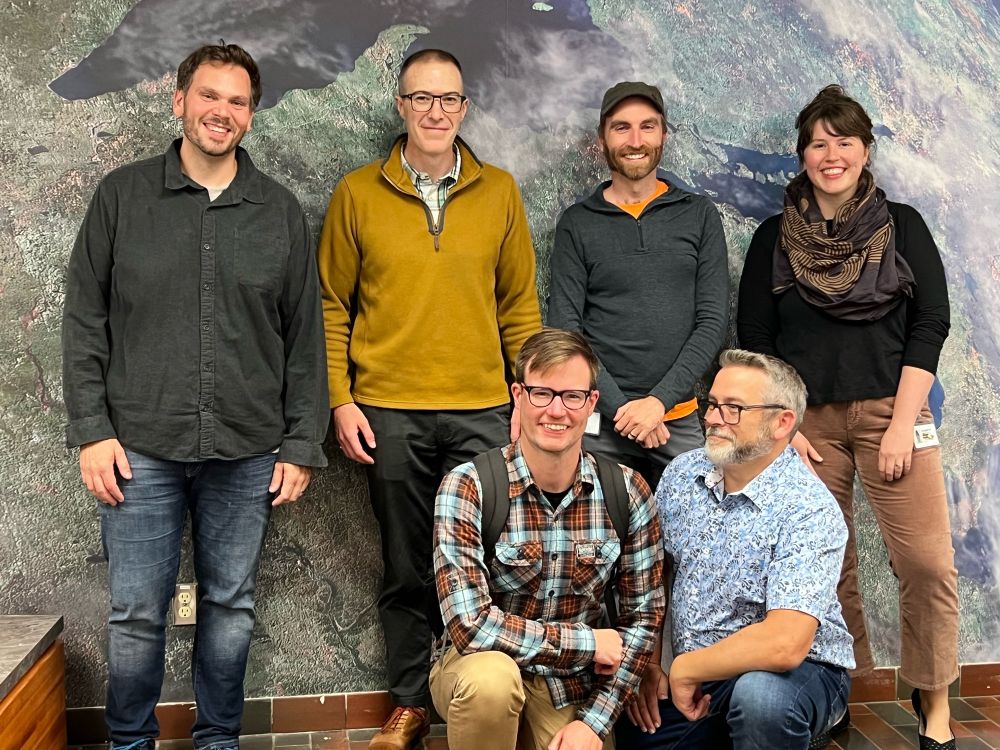
A group photo of five men and one woman in front of satellite image of great lakes. Everyone is smiling at camera.
Re-intro time! I am a forest fire research scientist at the Canadian Forest Service / NRCan. I am one of the science leads on the WildFireSat mission launching in 2029. 🛰️🔥🌲
Follow me for updates on fire monitoring & management in Canada, end-user engagement, and other research in #EOChat #GISchat!
12.11.2024 23:59 — 👍 111 🔁 11 💬 3 📌 0
I would like to be added to the list, thank you! 😊
21.11.2024 07:09 — 👍 2 🔁 0 💬 1 📌 0
Slowly crawling out of the cave haha! 😂 I will always be your follower 🫡
20.11.2024 12:47 — 👍 1 🔁 0 💬 1 📌 0
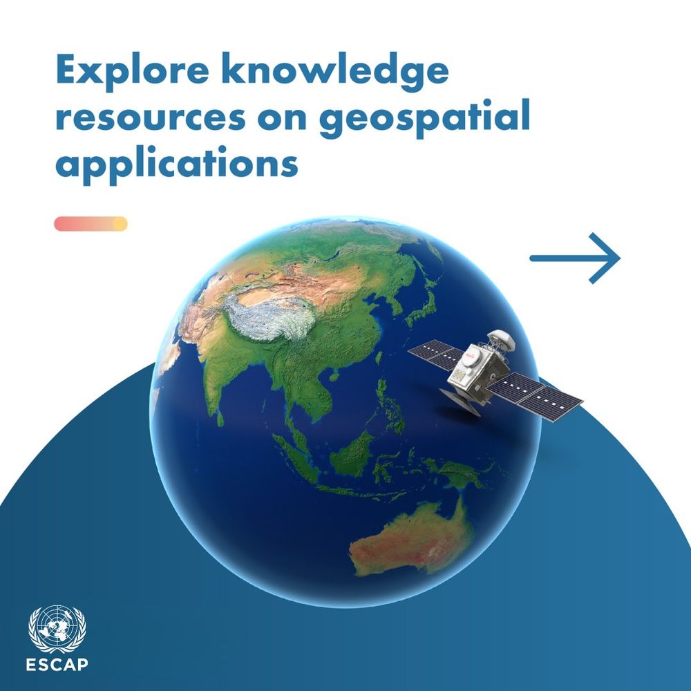
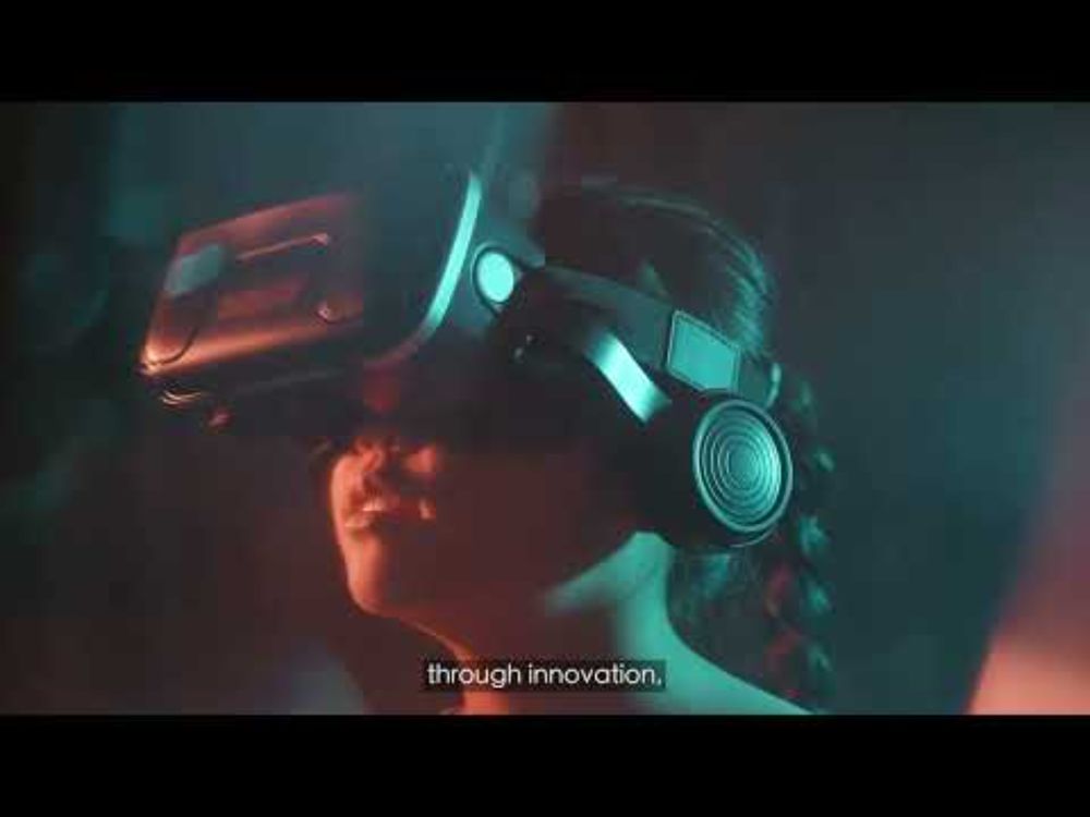
YouTube video by United Nations ESCAP
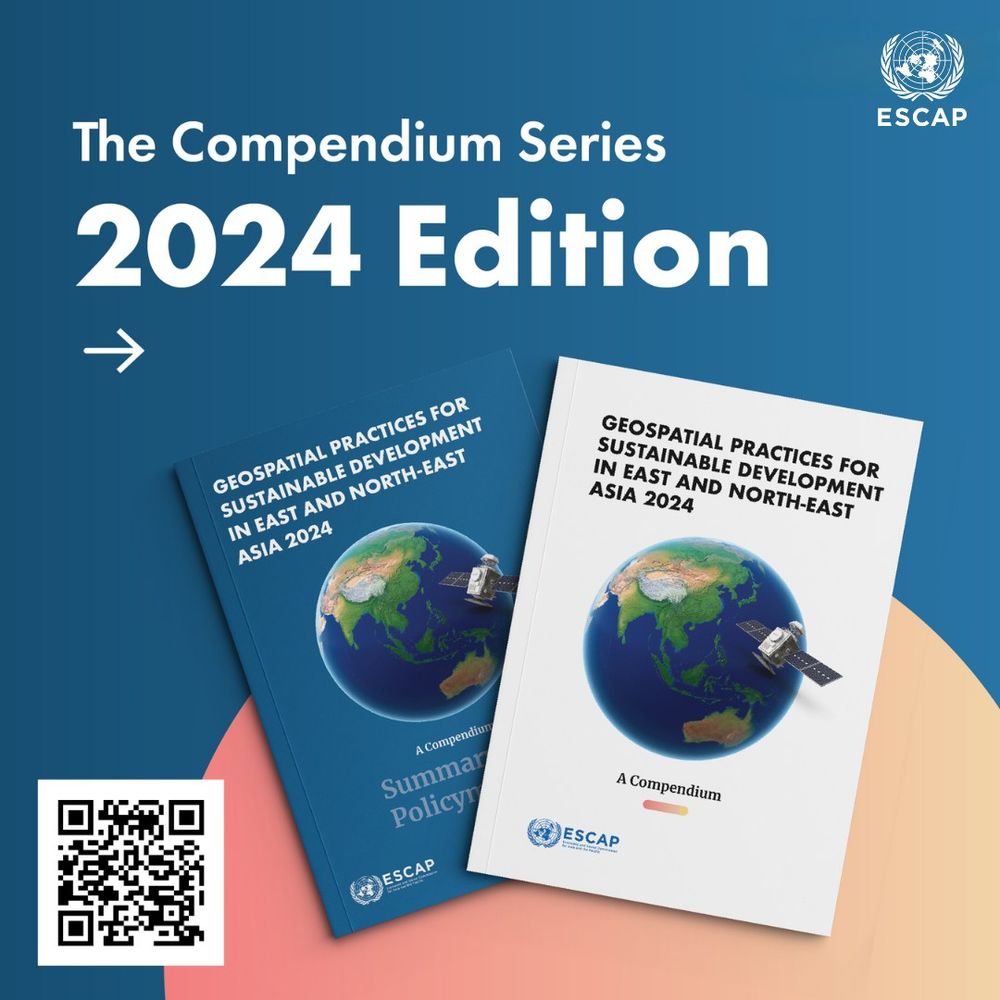
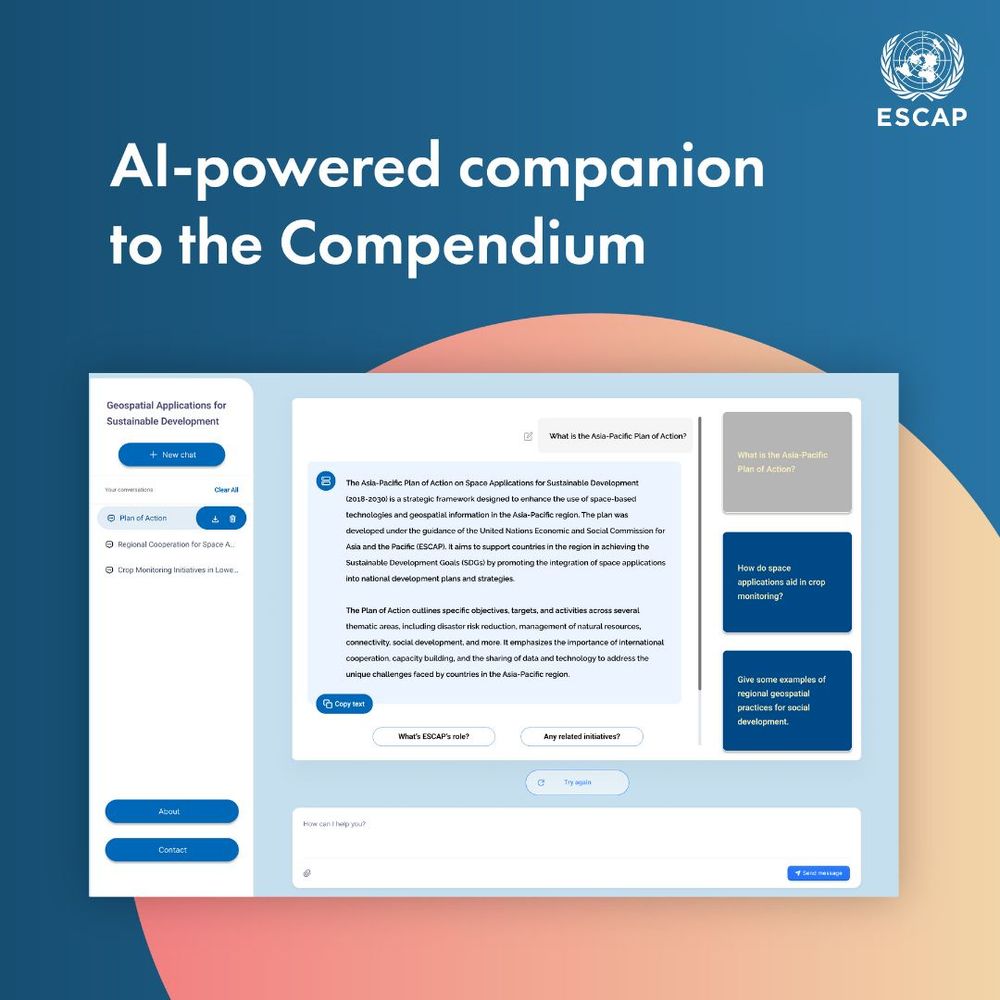
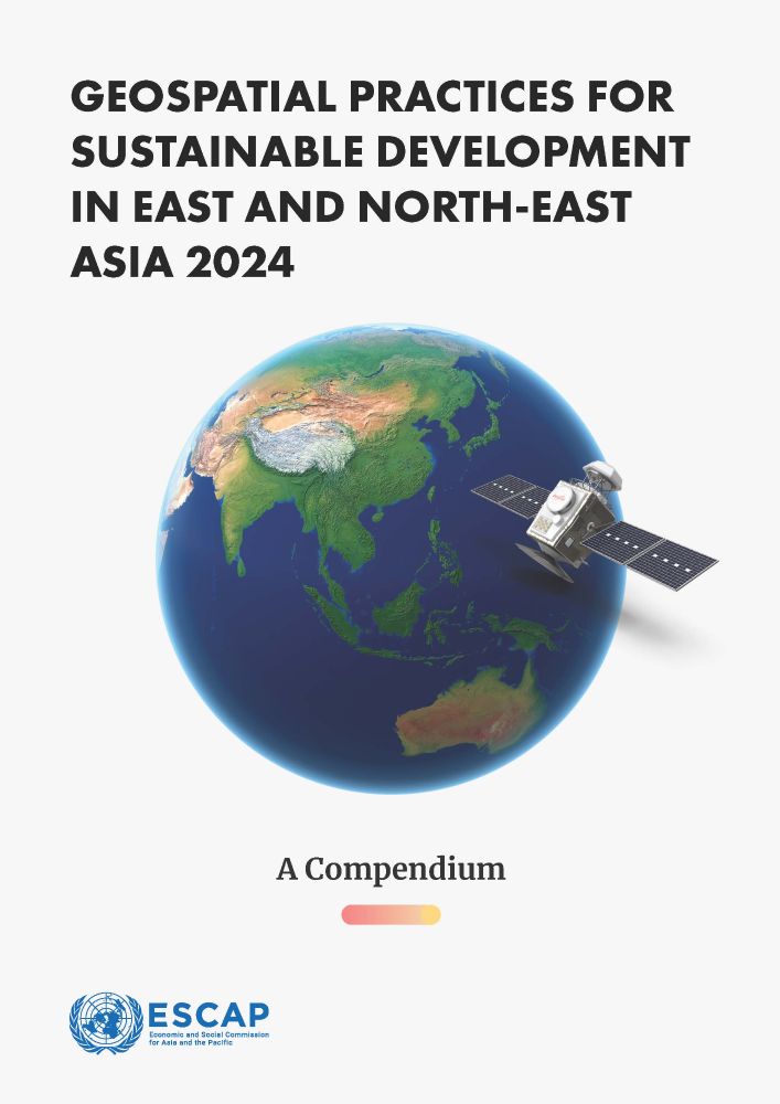
Geospatial Practices for Sustainable Development in East and North-East Asia 2024: A Compendium
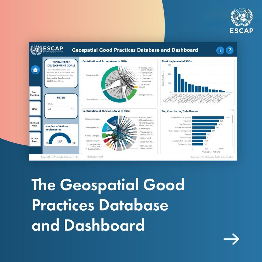
2/ The publication also showcases 100 #geospatial applications from East and North-East #Asia selected for their contributions to the #SDGs & highlight the important role of #GIS #remotesensing in #development
Watch our short trailer📹
20.11.2024 12:15 — 👍 4 🔁 2 💬 1 📌 0
Reintroducing myself here, happy World #GISDay! 👋 I am a #RemoteSensing & #KnowledgeManagement Expert with the United Nations Economic and Social Commission for Asia & the Pacific (UNESCAP) 🛰️ 🌏 I provide technical expertise in the use of #EarthObservation #GIS for #SustainableDevelopment🤝
20.11.2024 12:10 — 👍 8 🔁 3 💬 1 📌 0
There's now so many awesome #geospatial people here it's hard to keep track! 🤩
Here's a thread of some of my favourite starter packs so far - let me know what I've missed!
🛰️ Earth Observation & remote sensing: go.bsky.app/4PMRhNL
🌏 GIS: go.bsky.app/TJ7qQF6 @milos-makes-maps.bsky.social
(1/n)
19.11.2024 01:22 — 👍 164 🔁 65 💬 15 📌 15
How ClimateEngine.org and Awesome GEE Community Catalog are Expanding Open Geospatial Commons
In conversation with Justin Huntington and Eric Jensen
Thrilled that our ClimateEngine.org team is able to share 29 of our previously-internal datasets — sourced from NOAA, Copernicus, NASA, and others — with the #EarthEngine community, as part of the Awesome EE Community Catalog!
See the Medium post for all the details: shorturl.at/dzCE7
05.10.2023 20:31 — 👍 5 🔁 6 💬 0 📌 0
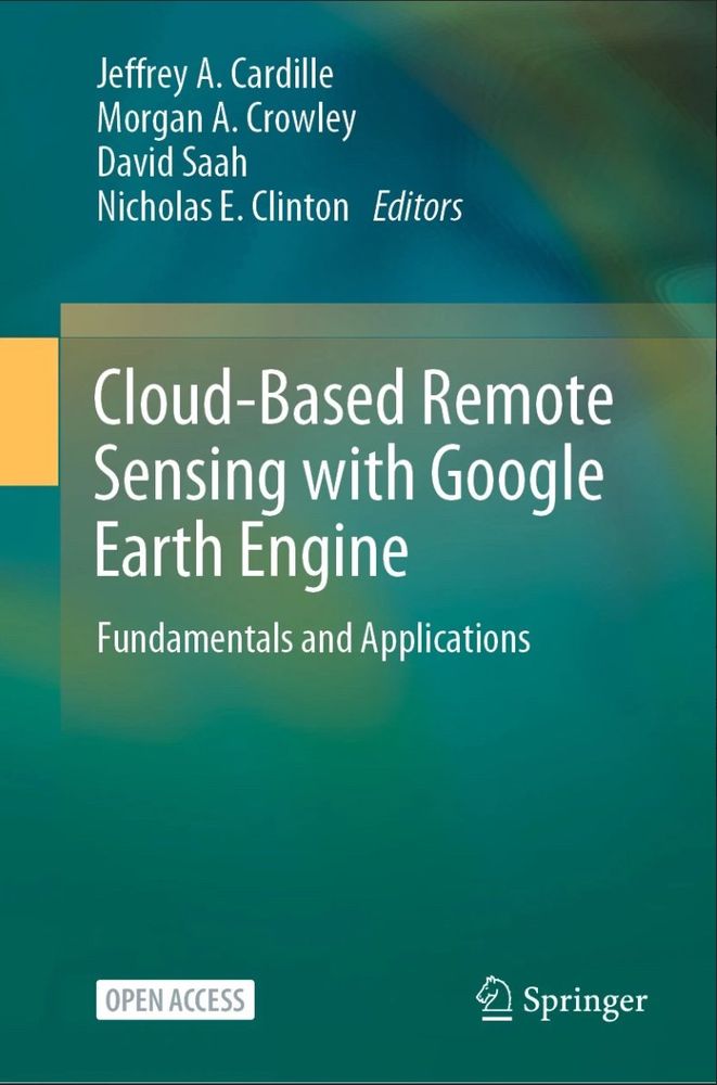
Woooo! Our open-access Google Earth Engine book has been officially published online today with Springer! #EOChat #GISChat
It contains 55 community-led chapters from 100+ authors... & published in time for #GeoforGood23!
You can access/download it here:
link.springer.com/book/10.1007...
05.10.2023 16:59 — 👍 45 🔁 20 💬 1 📌 2
Capacities on Biodiversity & Ecosystem Services in Africa to promote engagement in IPBES @ipbes.net.
Funded by @iki-germany.bsky.social
Website: http://www.cabes.online
E-learning: https://elearning.cabes.online
Other: https://linktr.ee/cabes.iki
🌍🧪
Freelance Cartographer at www.eventmaps.co.uk and trustee/council for The BCS @bcsmaps.bsky.social
Working on the intersection of Earth Systems Science and AI/ML. Interested in education, teaching, and python. Currently at NSF Unidata, these views are my own :).
Taking web-gis from 1990 -> 2024 🗺️ co-founder & cto @ atlas.co 🌍
PhD Student in Ecological and Environmental Informatics
Northern Arizona University
Forest spatial ecology and geomatics
🌎🛰️🌳👨💻
Consultant | NED | Co-author @locuscharter | Boards - PLACE Trust @thisisPLACE, Association for Geographic Information @geocommunity | Advisory boards @OpenUK @geospatialwomen #Data4Good #EthicalData aka #spatialred https://x.com/SpatialRed
Geospatial Information Specialist - CGeog - former Mentorship Programme Lead for Women+ in Geospatial - (she/her)
MGIS | Conservation GIS & Remote Sensing | The things we do for love.
https://www.wildlifegis.com
Climate scientist at UMass Lowell: droughts, floods, extreme events, & climate change. IPCC WG1 AR6 lead author. Skunk cabbage fan. he/him/his. Shocked but not awed.
Google Scholar: https://scholar.google.com/citations?user=qWV-WIQAAAAJ&hl=e
Reader in Computer Vision and Machine Learning @ School of Informatics, University of Edinburgh.
https://homepages.inf.ed.ac.uk/omacaod
Plant and geoscientist using drones and satellites to map spatio-temporal patterns | Working at the Center for Scalable Data Analytics and Artificial Intelligence (ScaDS.AI) and Dresden University | Previously at @iDiv, DE.
Using remote sensing for environmental conservation | Rangeland condition assessment | Adelaide, Australia
Applied Remote Sensing Lab in the Department of Geography at McGill University led by Dr. Margaret Kalacska
Professor of Machine Learning in Agriculture at University of Bonn
Working on Explainable ML🔍, Data-centric ML🐿️, Sustainable Agriculture🌾, Earth Observation Data Analysis🌍, and more...
AquaWatch's Goal is to develop global capacity and use of Earth Observation-derived water quality data, products and information to support effective monitoring, management and decision making. Find out more: www.geoaquawatch.org
Data science, geomatics and GIS, remote sensing and 3D modelling.
The OSGeo is a not-for-profit organization whose mission is to foster global adoption of open geospatial technology by being an inclusive software foundation devoted to an open philosophy and participatory community driven development.
📡🌧️⛰️ Researching flash-flood nowcasting in Appalachia using a custom open source multi-band GNSS receiver network with real-time data processing
🦅 ERAU ‘26 MS EP | ♥️ Asheville | ⚙️ OSHW Developer | 🛰️ Remote Sensing
Post-doc researcher at the Royal Museum for Central Africa, Belgium. Mostly working on landslides with (satellite) remote sensing. Investigating increasingly impactful natural hazards in a changing world.
🔥🗺️ Pyrogeographer.
🛰️🛩️🔥 #RemoteSensing of #Wildfire.
❤️🚒 Passionate about finding ways to help emergency responders.
📣 #SciComm
👩💻 https://www.kristaleewest.com/
📍 Colorado, USA