S-6 MF radiation pressure
Of all 12,000 satellites in orbit, the one with the highest requirement for precise orbit determination is Sentinel-6 MF. Since it is a reference mission for measuring sea level change. Kristin Vielberg has just published an improved force model for S-6 MF: link.springer.com/article/10.1...
23.09.2025 18:29 — 👍 5 🔁 0 💬 0 📌 0
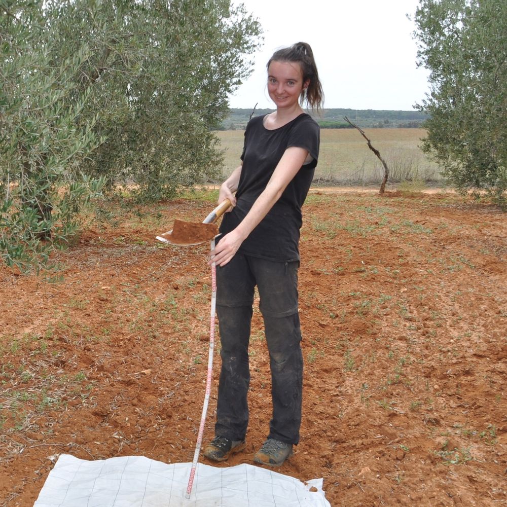
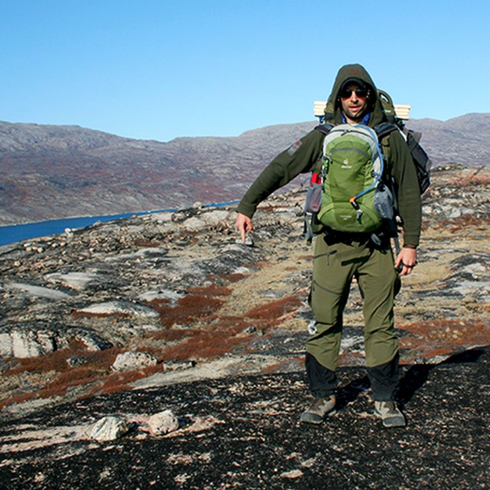
Field work is beautiful.
10.09.2025 15:52 — 👍 0 🔁 0 💬 0 📌 0

40yr trend in TWSA, red = drying (-up to 6mm/yr) blue = wetting (up to 6mm/yr)
Our PhD student Charlotte Hacker (@crc1502-detect.bsky.social @unibonn.bsky.social) published a 40yr record of total water storage anomalies (TWSA), similar to GRACE but from 1984 on. She combined SLR, DORIS and climate data in a new method.
zenodo.org/records/1582...
doi.org/10.22541/ess...
05.08.2025 16:37 — 👍 5 🔁 4 💬 0 📌 0

Neutral density (left) and ion density (right) at 200km altitude simulated with TIE-GCM on April 10, 2010
We have a new doctor. Congrats to Armin Corbin for defending his PhD work on numerical simulation of mass density in the upper Earth's atmosphere with data assimilation at @unibonn.bsky.social
(bonndoc.ulb.uni-bonn.de/xmlui/handle...).
09.07.2025 05:41 — 👍 2 🔁 0 💬 0 📌 0
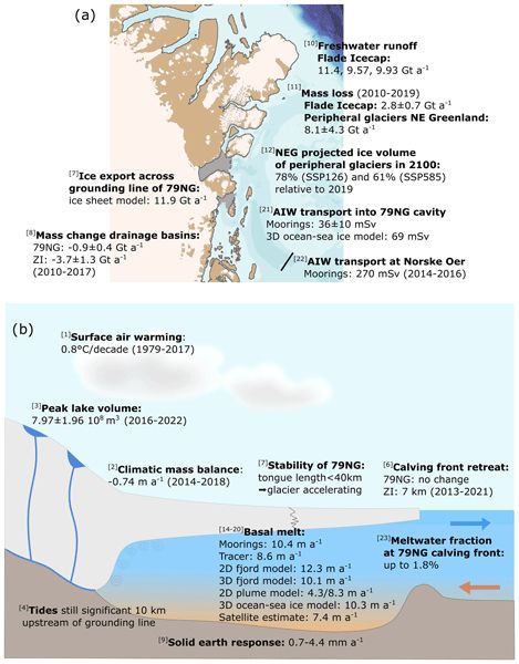
Final review paper of the GROCE team on the atmosphere-land-ice-ocean system around the 79°N glacier by Torsten Kanzow et al. in tc.copernicus.org/articles/19/...
09.05.2025 12:11 — 👍 0 🔁 1 💬 0 📌 0

The change in height of the different GPS stations (red = rising; blue = sinking). The rise was particularly pronounced in the drought between 2015 and 2019. - Copyright Image: AG Kusche/University of Bonn
Climate change is lifting South Africa out of the ocean: According to a study by the University of Bonn, droughts caused the country to rise by six millimeters between 2012 and 2020. ...
weiterlesen
23.04.2025 15:29 — 👍 3 🔁 3 💬 0 📌 0
Read our brief news article about the watercycle/GEWEX perspective of upcoming gravity satellite missions
15.04.2025 19:02 — 👍 1 🔁 0 💬 0 📌 0
Excellent paper, demonstrates the importance of land cover composition (shares) and configuration (spatial arrangemen) on climate
12.04.2025 19:08 — 👍 1 🔁 0 💬 0 📌 0
What is the significance? The satellites did not fly over the disaster area in 2021. But every year they pass hundreds of similar and bigger extreme events, many over tropical ocean and/or regions where we don't have radar networks and good NWP models. All this adds to the LRI noise.
02.02.2025 11:58 — 👍 0 🔁 0 💬 0 📌 0

Precip accumulated for 10hours during the event, and the satellite overpasses
Master student Magda Kracheletz shows in agupubs.onlinelibrary.wiley.com/doi/epdf/10.... how the GRACE-FO laser ranging instrument would have observed the devastating 2021 Ahr Valley water masses, even during atmospheric convection prior to flooding.
02.02.2025 11:51 — 👍 2 🔁 0 💬 1 📌 0
PoliSci PhD student @ Harvard / 🇬🇧🏳️🌈 / Creator of MyLittleCrony.com
Signal: @sehill.11
📚 Joint account of the Research Data Service Center and the Open Access Service Center at the University of Bonn
🛠️ Advice, tools & training for publishing and research data management
✉️ researchdata@uni-bonn.de - openaccess@ulb.uni-bonn.de
Professor at Virginia Tech, Lead, Land Subsidence Analytics at United Nations University, US Rep. to UNESCO LASII
Web: EOIvt.com
Soil science postdoc at Univeristy of Bonn, working on water infiltration, preferential flow and soil structure.
Also likes: cycling, hiking, creative projects.
Views my own.
Geophysicist, geodesy, global water cycle, sealevel, tectonics, GRACE/-FO, gravimetry, spaceflight, science-to-music converter. Researcher at UBonn. Views are my own.
Our mission is to observe, understand, and model the hydrological cycle and energy fluxes in the Earth’s atmosphere at and below its surface.
Agriculture and Food Business Management Group at the University of Göttingen & Faculty of Agricultural Sciences
Website: https://www.uni-goettingen.de/de/655593.html
DETECT studies how changes in land use and water management by humans modify the local and regional water, energy and carbon cycles.
www.sfb1502.de
USouth Florida PhD Alum, Researcher at Institute of Geodesy & Geoinformation @ University of Bonn.
https://www.igg.uni-bonn.de/apmg/de/team/staff/karegar
Geodesist/ using satellite gravity data to estimate total water storage, solid Earth activities and more🛰️🌍/ bird enthusiast / science is for everyone!✊🏾🏳️🌈🏳️⚧️🇵🇸/ climate justice is social justice / views are my own
(she/they)
Solid-earth deformation, geodesy, ice sheets, and sea level. Director of the Australian Centre for Excellence in Antarctic Science. Professor at U Tasmania. Comments mine. Host of Geodesy Feed - like and pin for geodesy content. Flawed follower of Jesus.
Prof of Satellite Geodesy, School of Earth and Env, Univ Leeds; Director of NERC_COMET; Co-founder of SatSenseLtd; @timwright_leeds on another site; Fringes, Quakes and some other stuff. All views my own.
Assistant Professor at the ITC Faculty of Geo-Information Science and Earth Observation at the University of Twente, NL.
I study the changing water cycle and sea level rise using (space) geodesy. @g.egu.eu Geodesy Division President
Professor of Earth Science at Cornell University: I study volcanoes, tectonics, glaciers and other planets. All views are my own. he/him
GPS and GNSS enthusiast, San Diego native, recovering aero engineering prof., environmental research (oceans,ice,snow,soil), open source https://github.com/kristinemlarson/gnssrefl
Geodesist/Geophysicist working at Lantmäteriet. Mom of 2. Views are my own.
https://sites.google.com/site/rebekkasteffengeo/
Geophysicist/Geodesist in Sweden. Interested in glacial isostatic adjustment, sea-level change, glacially triggered faulting, strain rates, gravimetry and more
Researcher in Geophysics and Space Geodesy at IPGP and IGN
Weighing water and watching the Earth deform from space 🌍🛰️
Views are my own.
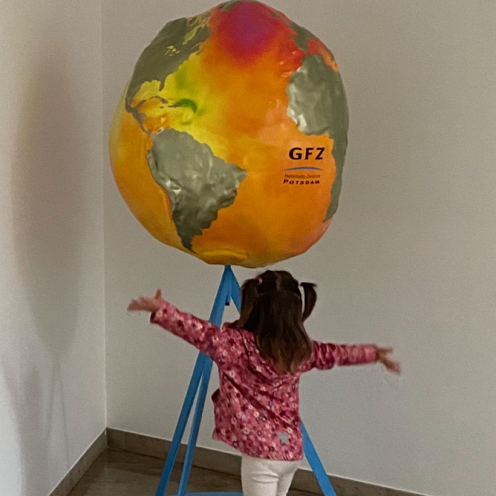
Earth sciences, geodesy, gravity field @ GFZ-Potsdam @ ICGEM
Geophysics, geodesy, and random stuff. Deputy Director of Civil & Geospatial Engineering at Newcastle University but posting personally.