Spent today X-band tracking "Le quattro stagioni" of FengYun weather satellites: 3D, 3E, 3F and 3H (and 3G) - data processing is a lot of work, so images later. First this solar FY3E XEUVI image with some nice solar flares and plasma arcs (and a cosmic ray hitting the detector)
14.10.2025 19:17 — 👍 4 🔁 0 💬 0 📌 0
Mars Express is a tough little animal with a wonderful team behind it keeping it alive :-) And they keep doing new things as well, like the mutual radio science measurements with ExoMars through the atmosphere.
09.10.2025 18:41 — 👍 2 🔁 0 💬 0 📌 0
Amazing 🙃
01.10.2025 21:26 — 👍 1 🔁 0 💬 0 📌 0
Congratulations!
01.10.2025 21:25 — 👍 1 🔁 0 💬 0 📌 0

Lots of condensation trails can be seen on this Netherlands crop from a FY3F pass @ 10:55 UTC - but if these semi circles near the middle are condensation trails, what was that pilot doing ??
01.10.2025 14:18 — 👍 1 🔁 0 💬 0 📌 0

False colour weather satellite image of the Iberian peninsula illustrating how incredibly big the burnt areas from the recent wildfires are.
A false colour crop of the Iberian peninsula from a Fengyun 3F pass @ 10:55 UTC. Absolutely shocking to see how big the burnt areas from the recent wildfires are !
01.10.2025 13:43 — 👍 4 🔁 1 💬 0 📌 0
Enjoy !!
14.09.2025 18:31 — 👍 1 🔁 0 💬 0 📌 0

What amazes me most is this frequency “wobbling” you see (skewed bright lines in the waterfall). Here the recently launched METOP-SGA1 - I mostly see this on W passes.
13.09.2025 08:49 — 👍 1 🔁 0 💬 1 📌 0
I was at the ISAS lodge in Sagamihara Feb 1990 but arrived at 2am (Alaska volcano necessitated a Vancouver detour) but the guard wouldn’t let me in. With great difficulty I convinced him to call prof Tanaka (who spoke fluent Dutch) and finally got me in after having been awake for some 30 hours…
31.08.2025 18:34 — 👍 1 🔁 0 💬 1 📌 0

Weather satellite picture centered on Greece clearly showing signs of many large bush fires in the area, also on the island of Chios.
From a FY3F pass @ 09:46 UTC today, a Colour Infra Red (CIR) crop centered on Greece. A vast amount of bush fires can be seen, including what looks like a big one on the Island of Chios.
13.08.2025 13:14 — 👍 1 🔁 0 💬 0 📌 0
Finally some sensible words on this matter !
04.08.2025 20:21 — 👍 0 🔁 0 💬 0 📌 0
bsky.app/profile/ther...
29.07.2025 08:27 — 👍 83 🔁 28 💬 0 📌 0
👏
25.07.2025 08:38 — 👍 0 🔁 0 💬 0 📌 0
Een verbazend ons kent ons lijstje …
22.07.2025 20:30 — 👍 0 🔁 0 💬 0 📌 0
You must be kidding!
22.07.2025 20:23 — 👍 0 🔁 0 💬 0 📌 0
That’s putting it mildly ! Why do we have to put up with this ….
17.07.2025 20:06 — 👍 0 🔁 0 💬 0 📌 0
De tweede die dit deed, Alan Eustace, was de spreker voor mij bij TED2015 in Vancouver in de “Out of this world” sessie
17.07.2025 20:00 — 👍 1 🔁 0 💬 0 📌 0
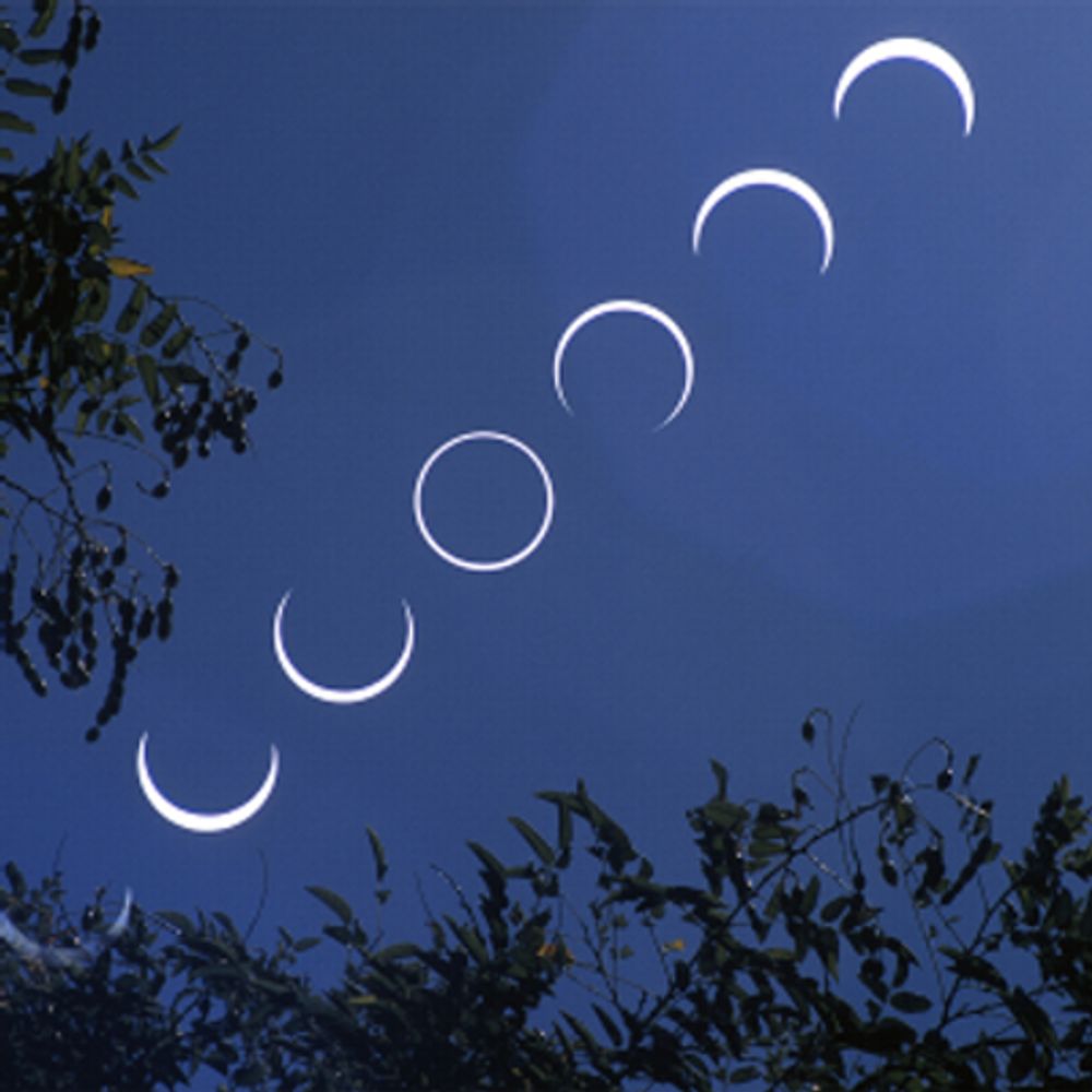
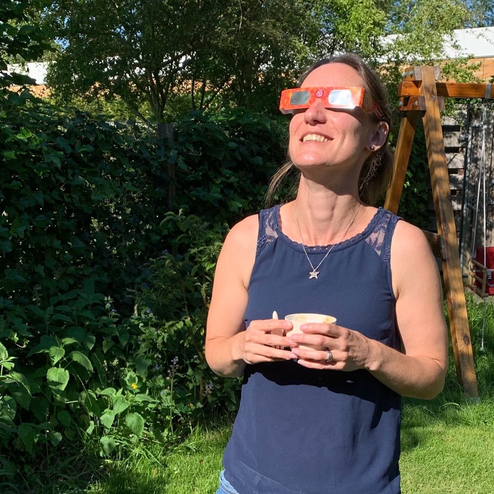
Wonderful image !
12.07.2025 21:29 — 👍 2 🔁 0 💬 1 📌 0

As a comparison, this is a similarly processed UK crop from 16-Jun-2023 - quite a different situation
11.07.2025 19:39 — 👍 1 🔁 0 💬 0 📌 0
Doi’s should be a solution?
11.07.2025 18:12 — 👍 1 🔁 0 💬 1 📌 0

A weather satellite image of the UK taken by a Chinese weather satellite at 14:33 UTC today, allowing to identify the areas affected by drought.

A weather satellite image of the UK taken by a Chinese weather satellite at 14:33 UTC today, allowing to identify the areas affected by drought.
From a X-band pass of FengYun 3D @ 14:33 UTC today a MERSI false colour and true colour UK/Ireland crop.
11.07.2025 15:26 — 👍 4 🔁 0 💬 1 📌 0
The objective being to destroy science - what can we say - i for one am lost for words, except a few - The writing was on the wall
09.07.2025 22:26 — 👍 1 🔁 0 💬 0 📌 0

And this is what we get as a result …
08.07.2025 21:34 — 👍 0 🔁 0 💬 0 📌 0
Could we simultaneously kill the narrative I have seen that had Comet Interceptor been at its parking place it could have targeted this comet ? I am pretty sure the delta-V required is just out of this world.
07.07.2025 23:02 — 👍 0 🔁 0 💬 1 📌 0
Infinitely better than the ESA original
03.07.2025 18:12 — 👍 7 🔁 1 💬 0 📌 0
It would be a lot more convincing if there was associated text on how they deal with the 10,000 + known and unknown objects in earth orbit. With their fov this must be a real issue
23.06.2025 22:43 — 👍 0 🔁 0 💬 0 📌 0

Satellite images of a number of smaller European Isles.

Satellite images of a number of smaller European Isles.

Satellite images of a number of smaller European Isles.

Satellite images of a number of smaller European Isles.
From the METEOR-M2 4 KMSS pass this PM, a few European small to mid-sized Isles. 1: Oléron and Ré, 2: Jersey, Guernsey and Alderney (rest under the clouds), 3: Wight, 4: Texel
23.06.2025 19:36 — 👍 3 🔁 0 💬 0 📌 0

Satellite image from a Russian weather satellite showing the flow of the Rhine river in between the Vosges (France) and the Black Forest (Germany).
Using the great SatDump s/w - from @aang23.satdump.org et al - on the verywip branch I managed to salvage some semi-decent image from a bad METEOR-M2 4 pass (4.7 dB pk S/N) from last Friday, showing the Rhine river in between the Vosges and the Black Forest
23.06.2025 13:24 — 👍 4 🔁 0 💬 0 📌 0

Italy from the ISS. Enlarged and levels adjusted by me.
Italy from the ISS. Enlarged and levels adjusted by me.
22.06.2025 17:03 — 👍 494 🔁 41 💬 16 📌 4


Part of todays received X-band harvest. From ELEKTRO-L 2 a (semi)geo-stationary satellite a view of the Western hemisphere with: top-middle Newfoundland and the St Lawrence river to Quebec city, lower left Cuba. From JPSS-2 W-Europe with London, Paris, Amsterdam and Brussels.
16.06.2025 19:38 — 👍 5 🔁 0 💬 1 📌 0
Athena Community Office official account.
The largest X-ray observatory ever built, Athena will investigate some of the hottest and most energetic phenomena in the Universe with spatially-resolved X-ray spectroscopy & deep wide-field X-ray spectra imaging
European operational #satellite agency for monitoring weather, #climate and the environment from #space 🛰
eumetsat.int
Ambassador weather, climate, sustainability and behavior 🌎
Public speaker. TV-host.
Get ready for a new era in astronomy and astrophysics with Rubin Observatory!
Para español siga a Instagram: http://instagram.com/rubin_observatory
Planetary scientist & astronomer at Queen’s University Belfast: KBOs, Planet Four(Mars), exoplanets (Planet Hunters NGTS) ,LSST SSSC co-chair. Opinions posted are my own. Pronouns: she/her
Astronomer at ASTRON in the Netherlands, working with the LOFAR low frequency radio telescope.
#50YearsOfESA: we're the European Space Agency, keeping you posted on European space activities.
Please see our Privacy Notice: https://esa.int/connectwithus
@esa #EarthObservation: Taking the pulse of our planet from space.
Please see our Privacy Notice: http://esa.int/connectwithus
We share pictures and news on our planet as seen from space.
From Earth orbit to deep space: sharing the excitement of real-time mission operations at the European Space Agency. Home for ESA's teams working on Planetary Defence, Space Weather, Clean Space & Space Debris.
esa.int/Operations
esa.int/Space_Safety
Keeping you posted on space science activities from the European Space Agency.
Web: http://www.esa.int/science
Privacy Notice: esa.int/connectwithus
#astronomy #space #science
Space science writer, editor and communications consultant
🔭 Astronomer at Observatoire de la Côte d'Azur, Nice, France: planets, asteroids, Gaia mission.
Landscape and Astrophotography
International award winning photographer
Kase Filters Ambassador
Sigma UK Ambassador
Workshops and prints
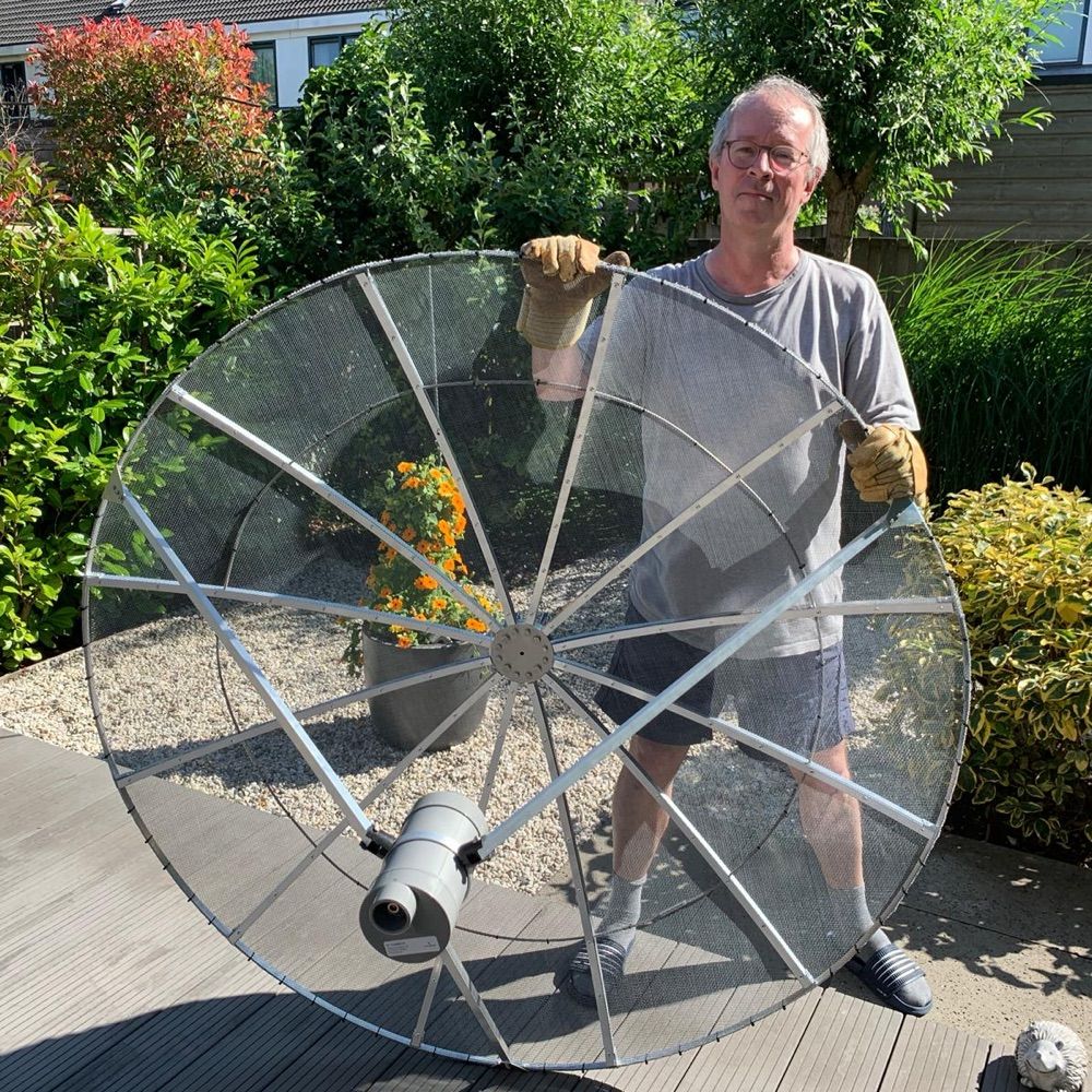
Just a dude with a dish and dangerously easy access to a compiler.
UK Amateur Radio call GM8ARV, mostly interested in things digital and VHF/UHF, software author.
Freelance journalist mainly tracking Chinese space activities. Correspondent at SpaceNews, also bylines at Spacedotcom, IEEE Spectrum and more.