A weak ridge of high-pressure system will build over southern BC today, initiating a dry start to the work week. A strong Pacific frontal system is forecast to impact the coast Tues evening into Weds, marking a return to an active pattern with moderate to heavy precipitation & high freezing levels.
03.11.2025 13:07 — 👍 4 🔁 0 💬 0 📌 0
A weak ridge of high pressure will bring a mix of sun and cloud today, with a slight chance of showers. A strong system will impact the area on Sat into early Sun, bringing rain & wind along the coast, heavy snow in the alpine regions with the freezing level near 1500m, rising to near 1800m Sat PM.
17.10.2025 12:11 — 👍 7 🔁 1 💬 0 📌 0
A ridge of high pressure situated over the BC interior, combined with a low-pressure system to the south over Washington state, will produce strong outflow winds over Howe Sound this morning. The high-pressure will keep conditions cool and dry across the South Coast to start this week.
13.10.2025 13:31 — 👍 3 🔁 0 💬 0 📌 0
A weak upper-level disturbance is expected to move across the south coast this evening into early Saturday morning, potentially bringing showers or flurries to high alpine regions. A ridge of high pressure will build over the coastal area later on Saturday, persisting into early next week. #BCStorm
03.10.2025 12:05 — 👍 4 🔁 0 💬 0 📌 0
(2)A stronger system will arrive along the coast Tuesday evening through Wednesday, which is expected to bring rain and wind. Additional systems will impact the coast midweek towards the end of the week. #bcstorm
29.09.2025 14:52 — 👍 2 🔁 1 💬 0 📌 0
(1)A frontal system will cross the south coast this morning, bringing periods of rain heavy at times. As the front crosses the area, the rain is expected to transition to showers by afternoon. A temporary reprieve from precipitation is forecast for this evening through Tuesday morning.
29.09.2025 14:51 — 👍 1 🔁 0 💬 1 📌 0
A zonal flow over the BC coast will direct a series of frontal systems towards the area, with the first system expected to arrive this evening into Sat. A secondary system will arrive from the Pacific, reaching the BC south coast late Sun to Mon, potentially producing significant rainfall. #BCStorm
26.09.2025 12:03 — 👍 3 🔁 0 💬 0 📌 0
A ridge of high pressure will build along the south coast early this week, resulting in drier and warmer conditions. This pattern is anticipated to persist into next weekend before transitioning to a fall-like pattern with a chance of precipitation. #BCStorm
22.09.2025 12:07 — 👍 7 🔁 0 💬 0 📌 0
A weak ridge of high pressure will bring dry and mild conditions to the south coast today. A frontal system is anticipated to arrive Saturday evening, accompanied by periods of rain. Post-frontal showers are possible Sunday morning before high pressure begins to build in Sunday afternoon. #BCStorm
19.09.2025 12:09 — 👍 4 🔁 0 💬 0 📌 0
A ridge of high pressure will build over the south coast today and Tuesday, resulting in warmer and drier conditions. A weak system will graze the area mid-week, accompanied by increased cloud cover and a small chance of showers. #BCStorm
15.09.2025 12:06 — 👍 4 🔁 0 💬 0 📌 0
A weak ridge of high pressure will maintain dry conditions through Saturday. A cold front will sweep across the south coast on Sunday, bringing cooler temperatures and showers. A ridge of high pressure will strengthen over the area early next week, leading to warmer and drier conditions.
12.09.2025 12:03 — 👍 2 🔁 0 💬 0 📌 0


Still some disagreement! Dry and seasonably warm follows the treads over the past several weeks.
10.09.2025 12:02 — 👍 4 🔁 0 💬 0 📌 0
A broad upper trough situated just offshore will maintain cool, cloudy, and unsettled conditions across the south coast to start the week, with a chance of showers and a risk of thunderstorms. High pressure will build toward mid-week, with drier conditions and warmer temperatures. #BCStorm
08.09.2025 11:57 — 👍 4 🔁 0 💬 0 📌 0
A strong upper ridge of high pressure that has been over the BC coast with hot, smoky conditions will slowly start to break down this weekend. A weak shortwave will move across the area with a chance of showers & a risk of thunderstorms. This will help push the smoke out of the south coast. #BCStorm
05.09.2025 13:52 — 👍 4 🔁 0 💬 0 📌 0
Corridor: #Squamish Airport 27.5 °C #Whistler Nesters 34.3 °C Callaghan Valley 32.3 °C #Pemberton Airport 34.3 °C Pam Rocks on #HoweSound 23.9 °C #BCStorm
04.09.2025 02:18 — 👍 1 🔁 0 💬 0 📌 0
That’s as good as it gets from the data source.
03.09.2025 14:40 — 👍 1 🔁 0 💬 0 📌 0


Goes West Fire Temperature RGB imagery detecting fire hotspot locations across BC. Note the hotspot northwest of Squamish that is causing air quality problems.
03.09.2025 14:07 — 👍 4 🔁 0 💬 1 📌 0
Today's high temperatures across the #SeatoSky Corridor: #Squamish Airport 24.1 °C #Whistler Nesters 34.9 °C Callaghan Valley 33.8 °C #Pemberton Airport 33.8 °C Pam Rocks on #HoweSound 22.2 °C #BCStorm
03.09.2025 03:40 — 👍 1 🔁 0 💬 0 📌 0


Layers of smoke or FU from the Elaho fires are visible over the Squamish area this evening.
03.09.2025 03:15 — 👍 3 🔁 0 💬 0 📌 0


A ridge of high pressure will rebuild over southern BC this week, bringing dry conditions with hot daytime temps that will push well above normal. Temperatures will reach the low 30s to mid 30s over the south coast. Temps will start to cool down towards the weekend as an onshore flow increases.
01.09.2025 13:24 — 👍 5 🔁 0 💬 0 📌 0

Outflow winds are pushing wildlife smoke towards the Squamish area this morning. This smoke is from a new out of control wildfire started by lightning on Aug 30, northwest of Squamish in the Elaho Valley. #BCwildfire #BCStorm
31.08.2025 18:14 — 👍 5 🔁 2 💬 0 📌 0

A thunderstorm has developed in the past 30 minutes in the Squamish area. When thunder roars, go indoors!"Once inside, stay away from electrical appliances, plumbing, windows, and doors. Wait at least 30 minutes after the last rumble of thunder before going back outside.
29.08.2025 23:38 — 👍 2 🔁 1 💬 0 📌 0
High pressure will rebuild over the province next week, leading to a return to summer weather. High temperatures will be pushing back in the low to mid 30s by mid week.
29.08.2025 12:56 — 👍 4 🔁 0 💬 0 📌 0
A weak disturbance will bring a chance of showers across the Sea to Sky today, with a risk of afternoon and evening thunderstorms. An upper low will approach the outer coast this weekend, bringing cooler temperatures and a small chance of showers. #BCStorm
29.08.2025 12:55 — 👍 5 🔁 0 💬 1 📌 0
Today's high temperatures across the #SeatoSky Corridor: #Squamish Airport 30.4 °C #Whistler Nesters 34.4 °C Callaghan Valley 32.3 °C #Pemberton Airport 35.6 °C Pam Rocks on #HoweSound 24.4 °C #BCStorm
27.08.2025 04:02 — 👍 3 🔁 0 💬 0 📌 0
Today's high temperatures across the #SeatoSky Corridor: #Squamish Airport 30.4 °C #Whistler Nesters 35.1 °C Callaghan Valley 32.7 °C #Pemberton Airport 36.9 °C Pam Rocks on #HoweSound 24.5 °C #bcstorm
26.08.2025 03:51 — 👍 0 🔁 0 💬 0 📌 0
Looks like a 4th place finish for max August temps at Nesters (Whistler) since 1988. 1st place 37C in 2004 and 2021, 2nd place 36C in 2014. Record seems incomplete though.
25.08.2025 02:43 — 👍 1 🔁 1 💬 0 📌 0
Today's high temperatures across the #SeatoSky Corridor: #Squamish Airport 32.6 °C #Whistler Nesters 35.1 °C Callaghan Valley 32.9 °C #Pemberton Airport 36.7 °C Pam Rocks on #HoweSound 26.4 °C #bcstorm
25.08.2025 01:40 — 👍 2 🔁 0 💬 1 📌 0
Today's high temperatures across the #SeatoSky Corridor: #Squamish Airport 34.0 °C #Whistler Nesters 34.2 °C Callaghan Valley 32.6 °C #Pemberton Airport 35.6 °C Pam Rocks on #HoweSound 28.6 °C #bcstorm
24.08.2025 01:39 — 👍 1 🔁 0 💬 1 📌 0


Summer is not over! A high-pressure system will build over the province, potentially driving temperatures to +30 °C with elevated humidex values over southern BC on Sunday.
20.08.2025 14:13 — 👍 4 🔁 0 💬 0 📌 0
Official Bluesky Account of the AMS Radar Meteorology STAC
Sr. Hurricane Specialist at NHC 🌀 | Ph.D + M.S. via UAlbany & B.S. via UNCA | Enjoy all kinds of weather 🌤❄️⛈🌪| Thoughts are my own
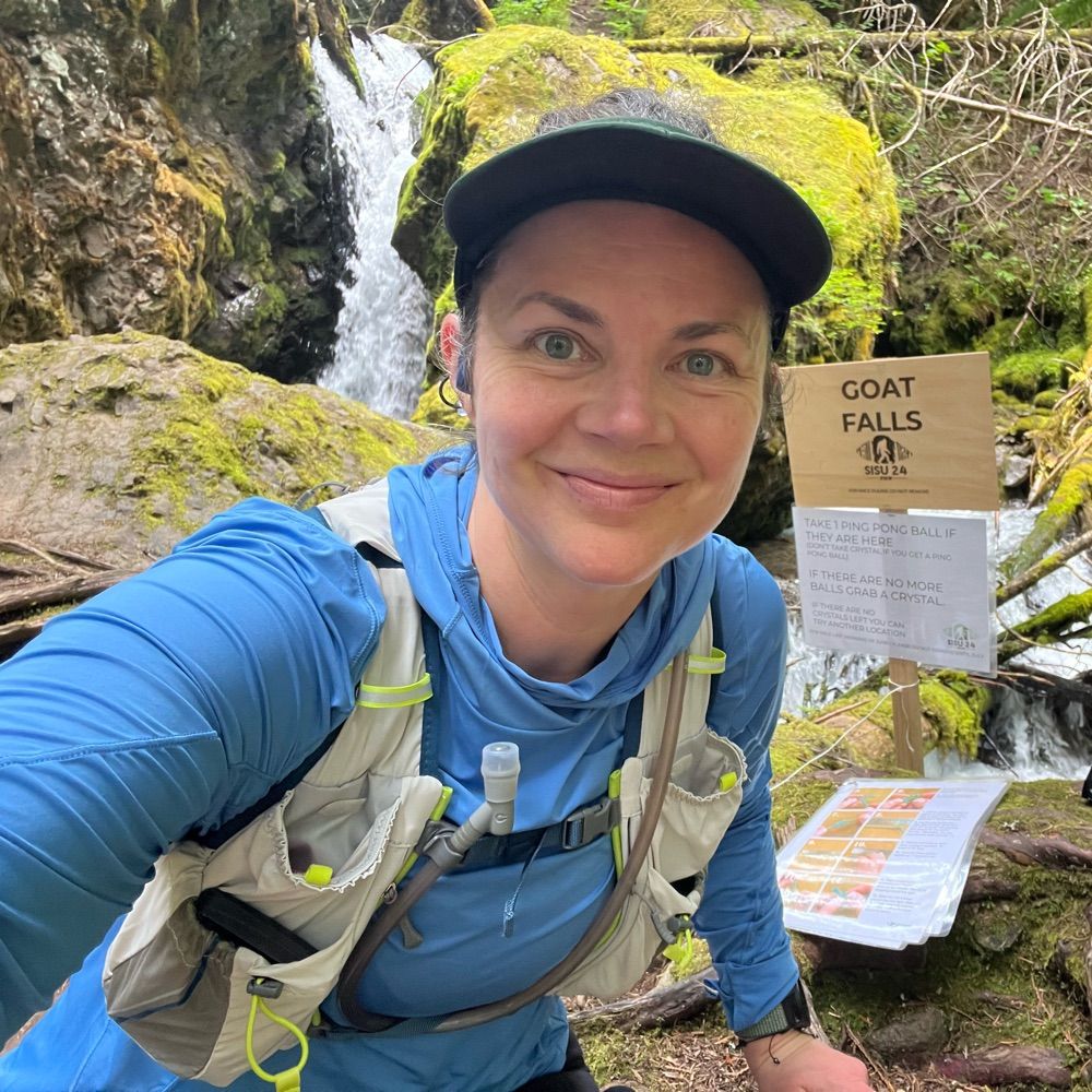
Dog loving trail runner. Thankful for science, books, Twin Peaks, drag, and good-hearted people.
🐾🏃🏻♀️🏳️🌈🦉👑
📍Seattle
Transforming vegetation fire management through partnerships between knowledge holders, practitioners, and policy-makers. | Research, training, knowledge exchange. | canadawildfire.org/subscribe
The Emergency Preparedness in Canada (EPIC) Podcast features current, relevant, and Canadian content for those passionate about disasters and their management.
Learn more at https://epicpodcast.ca/
Wildfire Mitigation | Emergency Management
I help communities coexist with wildfire
Lillooet, BC | Canada
Leading independent expert in weather and climate.
Canada's #1 source for weather forecasts, news and information ☀☔⚡❄ #ShareYourWeather videos and photos with us!
https://www.theweathernetwork.com/ca
The National Weather Association is a member-led professional association supporting and promoting excellence in operational meteorology and weather related activities.
Advancing the scientific understanding of the atmosphere, oceans and climate system, and their socioeconomic and ecological impacts, and promote applications of this understanding for the benefit of all Australians.
Official account of the AMS Weather Analysis & Forecasting Committee
The Regional Seismic Network for Washington and Oregon. We operate almost 700 seismic stations and are the authoritative source for information about earthquakes in both states.
Weather and climate scientist focused on extreme events like floods, droughts, & wildfires on a warming planet. www.weatherwest.com
From Vancouver Island and love it! Ocean, sun and storms!
Writer, science communicator, maker/mender. I like to spin yarns.
meteorologist & PhD candidate studying stratospheric dynamics & chemistry @ Harvard, visiting researcher @ OU SoM | proud Latina & mental health advocate | probably running, knitting, drinking coffee or going outside
Atmospheric Scientist, atmos dynamics/chemistry-climate, polar vortex expert. Views expressed are mine.