About that. But it took around 3 years, so maybe 40+ hours per lecture, to be where I wanted to be.
08.10.2025 02:11 — 👍 0 🔁 0 💬 0 📌 0
🆕 Emerging pest management science from our agriculture.gc.ca centre in Lethbridge, Alberta.
06.10.2025 02:35 — 👍 2 🔁 0 💬 0 📌 0

How Canada can build a stronger economy by focusing on key sectors
Canada must focus on sectors with real strengths to drive innovation and competitiveness: agriculture, forestry, energy and critical minerals.
"Canada must shift from its historically risk-averse, fragmented investment model to a targeted, mission-oriented approach that concentrates on sectors where it holds inherent advantages: agriculture, forestry, energy &critical minerals."
By Burgess Langshaw Power & Maral Niazi👇
tinyurl.com/mr3rfk6z
29.09.2025 18:15 — 👍 0 🔁 3 💬 2 📌 5

“Sir, do you have proof of Canadian citizenship?”
06.10.2025 02:14 — 👍 1 🔁 0 💬 0 📌 0
Dive.
04.10.2025 14:47 — 👍 1 🔁 0 💬 1 📌 0

Quarterly Climate Impacts and Outlook for the Prairies and High Plains - September 2025
Quarterly Climate Impacts and Outlook for the Canadian and U.S. Prairies and High Plains for June–August 2025, with an outlook for October–December 2025. Dated September 2025. Summer brought mostly ne...
DYK that agriculture.canada.ca 🍁 contributes to the North American Drought Monitor? 🧪
The Prairies/High Plains bulletin for summer is available via the drought.gov Quarterly Climate Impacts and Outlooks.
TLDR? A summer of droughts, wildfires, smoke, and heavy rainfall. ☀️🌧️🔥
🔗 tinyurl.com/5xnvrmrs
02.10.2025 20:02 — 👍 2 🔁 2 💬 0 📌 0
Nature: A driver of economic activity
This fact sheet presents gross domestic product (GDP) data at the sub-drainage area geography. It outlines the way that natural resources and biophysical features throughout Canada help determine whic...
🆕 Nature: A driver of economic activity - A new publication from statcan.gc.ca 🍁
"Examining economic activity in Canada through the lens of ecosystems and watersheds can provide a more nuanced view of how industries interact with the Canada's natural resources"
Full article: tinyurl.com/3svtbdcd
02.10.2025 14:40 — 👍 1 🔁 0 💬 0 📌 0
Could that be a transcription error for “Pennycook”, a Scottish last name?
02.10.2025 02:52 — 👍 1 🔁 0 💬 1 📌 0
Canada needs to invest in the incredible talent that’s already here. That’s where the money needs to go.
Sure, we should hire the elite in American schools where strategically warranted.
But remember, most US hires will head back south across the border when they perceive it’s safe to do so.
02.10.2025 01:04 — 👍 0 🔁 0 💬 1 📌 0
I guess we’ll wait and see. We’ve heard this before and ended up being right. To be revisited….
01.10.2025 23:25 — 👍 2 🔁 0 💬 0 📌 0

Understanding the Drivers of Drought Onset and Intensification in the Canadian Prairies: Insights from Explainable Artificial Intelligence (XAI)
Abstract Recent advances in artificial intelligence (AI) and explainable AI (XAI) have created opportunities to better predict and understand drought processes. This study uses a machine learning approach for understanding the drivers of drought severity and extent in the Canadian Prairies from 2005 to 2019 using climate and satellite data. The model is trained on the Canadian Drought Monitor (CDM), an extensive dataset produced by expert analysis of drought impacts across various sectors that enables a more comprehensive understanding of drought. Shapley additive explanation (SHAP) is used to understand model predictions during emerging or worsening drought conditions, providing insight into the key determinants of drought. The results demonstrate the importance of capturing spatiotemporal autocorrelation structures for accurate drought characterization and elucidates the drought time scales and thresholds that optimally separate each CDM severity category. In general, there is a positive relationship between the severity of drought and the time scale of the anomalies. However, high-severity droughts are also more complex and driven by a multitude of factors. It was found that satellite-based evaporative stress index (ESI), soil moisture, and groundwater were effective predictors of drought onset and intensification. Similarly, anomalous phases of large-scale atmosphere–ocean dynamics exhibit teleconnections with Prairie drought. Overall, this investigation provides a better understanding of the physical mechanisms responsible for drought in the Prairies, provides data-driven thresholds for estimating drought severity that could improve future drought assessments, and offers a set of early warning indicators that may be useful for drought adaptation and mitigation. Significance Statement This work is significant because it identifies drivers of drought onset and intensification in an agriculturally and economically important region of Canada. This information can be used in the future to improve early warning for adaptation and mitigation. It also uses state-of-the-art machine learning techniques to understand drought, including a novel approach called SHAP probability values to improve interpretability. This provides evidence that machine learning models are not black boxes and should be more widely considered for understanding drought and other hydrometeorological phenomena.
🧪 Mardian [+ agriculture.canada.ca 🍁] et al, 2023: Understanding Drivers of Drought Onset and Intensification in the Cdn Prairies: Insights from Explainable AI.
TLDR? EO-based ESI, soil moisture + groundwater are effective predictors of drought onset and intensification.
🔗 tinyurl.com/5n8te92d
01.10.2025 18:07 — 👍 1 🔁 0 💬 0 📌 0


🆕🍁 Système Canadien de surveillance des terres agricoles: IVDN maximal hebdomadaire
📆 22 à 28 septembre 2025
📀 agriculture.canada.ca 🧪
ℹ️ Cartes de l’état des cultures hebdomadaires (IVDN) tout au long de la saison de croissance (fin mars à fin octobre)
Télécharger:
🔗 tinyurl.com/AAFC-CALMS-FR
01.10.2025 13:56 — 👍 2 🔁 0 💬 0 📌 0


🆕🍁 Canadian Ag-Land Monitoring System (CALMS): Weekly NDVI anomalies
📆 22 - 28 September, 2025
📀 agriculture.canada.ca 🧪
ℹ️ Weekly crop condition (Max-NDVI) maps throughout growing season (end of March to the end of October).
Download data for *FREE* (2000 to present):
🔗 tinyurl.com/AAFC-CALMS
01.10.2025 13:56 — 👍 3 🔁 1 💬 1 📌 0
JECAM – Joint Experiment for Crop Assessment and Monitoring
ℹ️ DYK that agriculture.canada.ca 🍁 participates in #GEO Global Agricultural Monitoring and co-leads the Joint Experiment for Crop Assessment & Monitoring?
JECAM is an international EO collaboration to address food insecurity to support sustainable & profitable ag sectors worldwide. ⤵️
🔗 jecam.org
01.10.2025 01:45 — 👍 3 🔁 1 💬 0 📌 0
EODMS
The Earth Observation Data Management System (EODMS) is a fully integrated geospatial platform provided by NRCan to the general public to discover and access authoritative Earth Observation (EO) data.
🍁 DYK that natural-resources.canada.ca hosts Canada's National Air Photo Library?
ℹ️ The NAPL archives more than 6 million aerial photos covering all of Canada, dating back to the 1920s.
🔗 Use the online application to search and retrieve info on more than 3 million air photos: tinyurl.com/CanNAPL
29.09.2025 13:30 — 👍 1 🔁 0 💬 0 📌 0

🍁 Ottawa, Central Experimental Farm, 1946!
➡️ View is NE toward Ottawa. Fisher Avenue is the long diagonal road stretching from bottom right toward upper left. Near center of the image, Fisher Ave intersects w/Baseline Rd.
📷 NAPL REA 350-5
🔗 Bygone #Nepean Facebook: www.facebook.com/share/p/1EiT...
29.09.2025 13:13 — 👍 3 🔁 1 💬 0 📌 0
OHMYGOD. that’s funny. It was battery powered ;)
26.09.2025 20:24 — 👍 1 🔁 0 💬 0 📌 0

2026 ISPRS Congress
Welcome to the official website of the 2026 ISPRS Congress hosted by CRSS-SCT! Join us at the Metro Toronto Convention Centre for this significant event in Remote Sensing & Geoinformation. Discover in...
📢 The XXV ISPRS Congress & 47th Canadian Symposium on Remote Sensing is taking place in Toronto, 4–11 July 2026!
👉 Register before 29 September 2025 to save up to $400!
Don’t miss this opportunity to connect with the global RS and photogrammetry community.
🔗 Register now: bit.ly/45hDBD4
26.09.2025 18:38 — 👍 2 🔁 1 💬 0 📌 0
LOL, I forget. But I learned that you call it a "digital camera" at airports because "radiometer" sounds dangerous.
26.09.2025 14:33 — 👍 2 🔁 0 💬 1 📌 0

#FieldworkFriday Late 1990s, La Perouse Bay, Manitoba. Lugging an Exotech 4-band Radiometer and its wooden barium sulphate calibration panel across the Tundra. Fun times.
26.09.2025 13:16 — 👍 2 🔁 0 💬 1 📌 0
Same season for sure.
25.09.2025 22:18 — 👍 1 🔁 0 💬 0 📌 0

Yes!
25.09.2025 22:09 — 👍 1 🔁 0 💬 1 📌 0
Meh. Should've given us the trash panda rather than the swamp donkey.
25.09.2025 14:56 — 👍 1 🔁 0 💬 0 📌 0

Courtesy costs nothing.
25.09.2025 12:29 — 👍 0 🔁 0 💬 1 📌 0
Depends. For national scale monitoring? Field level? RCM / S1 resolutions with daily coverage would be a start.
25.09.2025 12:19 — 👍 0 🔁 0 💬 1 📌 0

Morning! #CdnAg #agriculture
24.09.2025 12:46 — 👍 2 🔁 0 💬 0 📌 0
The Canadian Ag-Land Monitoring System (CALMS) - Open Government Portal
AAFC’s Canadian Ag-Land Monitoring System (CALMS), operational since 2009, was developed by AAFC’s Earth Observation Service (EOS) to deliver weekly NDVI-based maps of crop condition in near-real-...
🍁 Next week will be our last posting of the 2025 Canadian Ag-Land Monitoring System (CALMS) Weekly NDVI anomalies.
BUT our data (Max-NDVI + anomalies) for the growing seasons (end of March to end of October) of 2000 to present are available to download for *FREE*:
🔗 open.canada.ca/data/en/data...
24.09.2025 00:00 — 👍 2 🔁 0 💬 1 📌 0
Author, book http://Amazon.co.uk/dp/B09KR275TN?
Preview here https://archiveofourown.org/works/47902108/chapters/120770212
I #followback
The world's most influential architecture, design and interiors magazine.
www.dezeen.com
The labor market is a mess. Here to show you why. Highlighting workers conflict with poor management, corporate greed, bad business, and the economy.
Threads.net/@fuckyouiquit
Instagram.com/fuckyouiquit
Keeping tabs on drought impacts for the National Drought Mitigation Center for 10+ years. Views are mine. Be kind.
Mastodon: @DeniseGutzmer@mindly.social
Canada's Premiere Agricultural Publisher
Open, timely, and science-driven information on crop conditions in support of market transparency and early warning of production shortfalls
These are not the skeets you are looking for
🎵 I like to post-a
about the Penguins and the Gorgie and the lager 🎵
NOAA provides science, service and stewardship to protect life, property & Earth's natural resources. An agency of the Department of Commerce. Join us on Instagram & Facebook. Official NOAA account.
@esa #EarthObservation: Taking the pulse of our planet from space.
Please see our Privacy Notice: http://esa.int/connectwithus
We share pictures and news on our planet as seen from space.
🛰️ Translating Earth Intelligence with global collaboration.
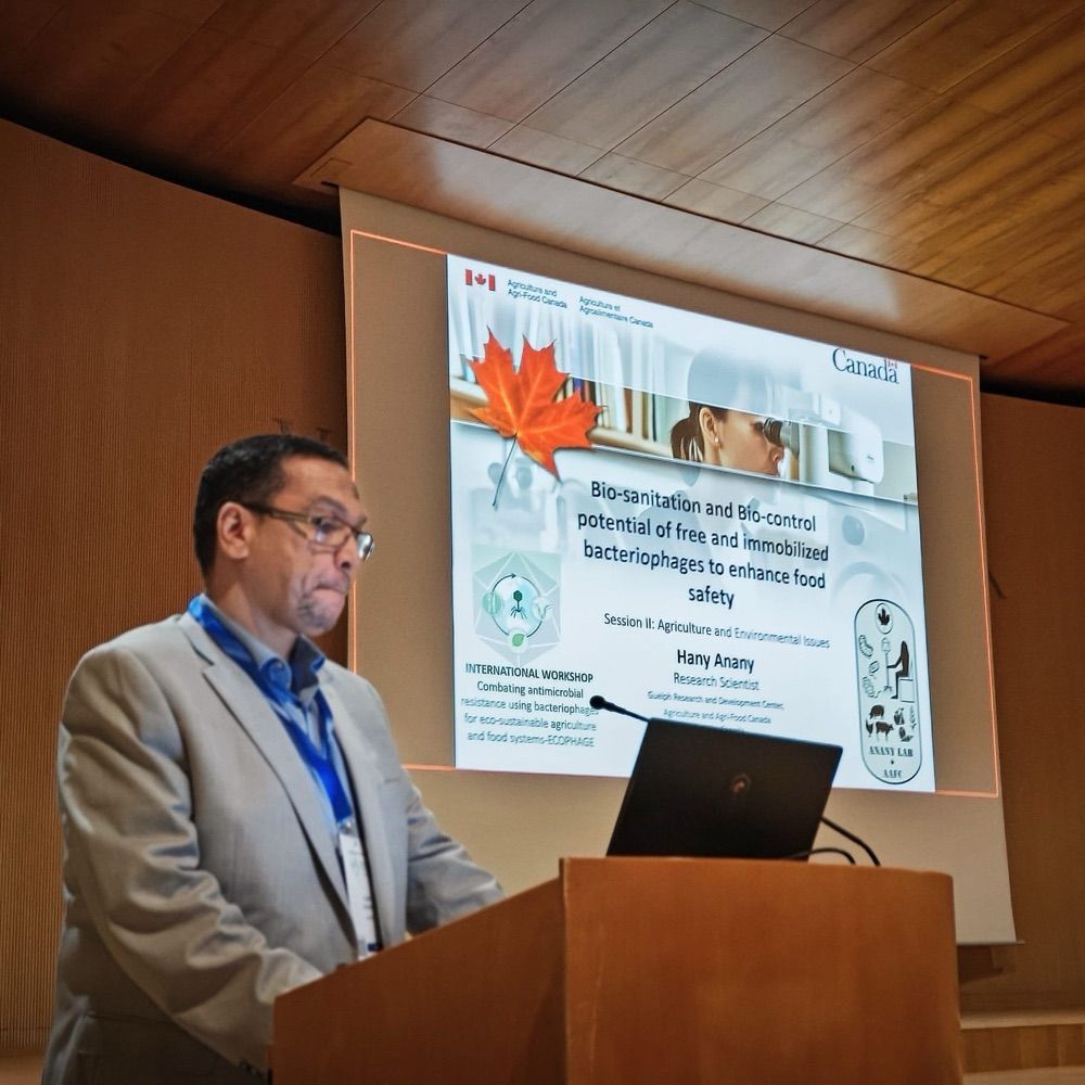
Bacteriophage Research Scientist@AAFC loves phages and my family
Molecular plant pathology research scientist at Agriculture and Agri-Food Canada
Research scientist at Agriculture and Agri-Food Canada (AAFC - Ottawa RDC), curator of the Canadian Collection of Arbuscular Mycorrhizal Fungi (CCAMF), project lead for the Canadian Soil Biodiversity Observatory (CSBO), ON / QC
Scientist-cereal pathology @AAFC, Lethbridge, adjunct prof Univ of AB, a mother to 3 ❤️❤️❤️ and a wife. 🏊 👩🍳