Autor de Dois Mortos e a Morte (@editorarocco). Coleciono máquinas de escrever. 📧tantotupiassu@gmail.com
📍Belém/Pa
Instagram https://www.instagram.com/tantotupiassu?igsh=MXdjZ3UzOTc3OGN0MQ%3D%3D&utm_source=qr
O micro 🐤 do Elon Musk kkkkk
sou só um caboquinho Kariu-Kariri que faz cerâmica, escreve artigo e apresenta um podcast
Spatial Informatics Group (SIG) is an internationally recognized organization dedicated to innovative solutions in geospatial analysis, environmental sciences, and socioeconomic sciences.
earthbytelab.com
#geospatial #remotesensing #earthobservation #datascience #earthengine
Communicating remote sensing science. Since 1980.
Published by Taylor & Francis Online.
#RemoteSensing
Associate Prof. #ihedelft | Physical Geographer | Owner of QWAST-GIS | #OpenSource advocacy | board member @qgis.nl | #gisocw | #OSGeo Charter Member | #QGIS
🛰️🗺️ Satellites and maps | Dpty. Director of Environmental Mapping at https://sig-gis.com/ | She/her | 🇩🇪 in 🇺🇸 | born at 351 ppm
CEO @Spatial Bytes | Research Scientist & Senior Geospatial Engineer @DRI | Creator, GEE Community Catalog | Google Dev Expert for Google Earth Engine | NSF NEON Advisor | Faculty @UH Mānoa | Geospatial Innovation 🌍
Uses machine learning to study literary imagination, and vice-versa. Likely to share news about AI with sentient space crabs.
Information Sciences and English, UIUC. Distant Horizons (Chicago, 2019). tedunderwood.com
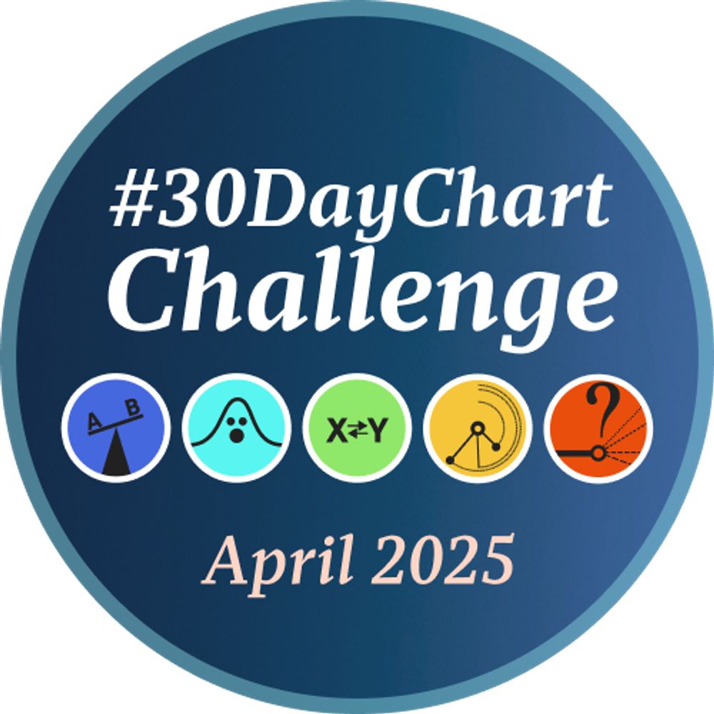
A #DataViz challenge 📊 by @cedricscherer.com and @drxeo.eu
Supported by @wendyshijia.bsky.social and @ansgarw.bsky.social
More info on Github: https://github.com/30DayChartChallenge/Edition2024
As notícias não ficam melhores qd vc consegue lê-las?
Notícias completas limpas de barreiras e popups com https://12ft.io 📰🗞️♥️
Um oferecimento #bolhatech #bolhadev #bolhasec
Cartography is my passion & profession. Author of CARTOGRAPHY. & THEMATIC MAPPING. Maps+drums+beer+snowboards+footy+politics+sarcasm. 🇬🇧 in 🇺🇸 Views mine. links.esri.com/mappyhour
The official Bluesky account of the OpenStreetMap foundation
PERFIL QUE FISCALIZA O MEIO AMBIENTE E SEUS GESTORES.
(NÃO REPRESENTA O INSTITUTO BRASILEIRO DE MEIO AMBIENTE E DOS RECURSOS NATURAIS RENOVÁVEIS)
Open source geo developer (especially QGIS!)
California Beach Biogeography & Geomorphology, Geospatial Data Science, Cartography, Open Source, Library Employee, and definitely some cats.
OSGeo - FOSS4G - #gischat - #maptimeDavis
Jornalismo ambiental e independente. A voz dos bichos, das plantas e das pessoas que os protegem. oeco.org.br
➡️ Apoiadores ganham conteúdo exclusivo! https://www.catarse.me/oeco
#política #biodiversidade #clima
Cartography. Geo-visualization. Geo-Scientist. Keynote speaker. Helping people turn their data into data-driven visualizations.
Rock climber 🧗
👋🏻 I'm Kate ᵉᵃᵗᵉʳ ᵒᶠ ᵖᵒᵗᵃᵗᵒᵉˢ ᵃⁿᵈ ᵐᵃᵏᵉʳ ᵒᶠ ᵐᵃᵖˢ
🌐 I make #geospatial & #GIS (more) fun by sharing #mappymeme s & #maptastic themes. #GISchat. ᵛᶦᵉʷˢᵐᶦⁿᵉ
http://linktr.ee/pokateo_maps
Cartógrafo / Cartographer.
Fotografia de paisagens / Landscape photography.