ℹ️ Join us on 2/4/26 for a talk from PI School
on EVE: An Open-Source Earth Science LLM for Researchers, Policymakers, and the Public
🔗 Call: lnkd.in/ebHgTVcc
🌐 Group: lnkd.in/eCqiQKts
📷 videos: lnkd.in/eJWqm7i6
#EVE #EarthObservation #LLM #OpenScience #ESA #AI4EO #LLM #GeoAI #AIforEarth
02.02.2026 14:52 — 👍 1 🔁 1 💬 0 📌 1

ℹ️ Join us on 1/21/26 for a talk by Renee Johnston
on Accelerating scientific discovery with AI-powered empirical software
🔗 Call: lnkd.in/ebHgTVcc
🌐 Group: lnkd.in/eCqiQKts
📷 videos: lnkd.in/eJWqm7i6
#LLM #GeoAI #AIforEarth
16.01.2026 21:52 — 👍 0 🔁 0 💬 0 📌 0

ℹ️ Join us on 10/29/25 for a talk by Ryan DeMilt
on Navigating Instrumentation Differences with Earth Observation Foundation Models
🔗 Call: lnkd.in/ebHgTVcc
🌐 Group: lnkd.in/eCqiQKts
📷 videos: lnkd.in/eJWqm7i6
#EarthObservation #FoundationModels #RemoteSensing #GeoAI #AIforEarth
27.10.2025 19:50 — 👍 1 🔁 1 💬 0 📌 0

ℹ️ Join us on 10/15/25 for a talk by Anastasia Bernat
on Charting NEPA: Engramming the Geointelligent Future of Federal Permitting
🔗 Call: lnkd.in/ebHgTVcc
🌐 Group: lnkd.in/eCqiQKts
📷 videos: lnkd.in/eJWqm7i6
#PNNL #DOE #CEQ #PermitAI #GeoAI #VisionAI #AIforEarth #EOchat #GISchat #GeoAI #GeoML
07.10.2025 20:57 — 👍 2 🔁 1 💬 0 📌 0

ℹ️ Join us on 10/1/25 for a talk by David John “DJ” Gagne
on CREDIT Community Research Earth Digital Intelligence Twin
🔗 Call: lnkd.in/ebHgTVcc
🌐 Group: lnkd.in/eCqiQKts
📷 videos: lnkd.in/eJWqm7i6
#EOchat #GISchat #GeoAI #GeoML #artificialintelligence #machinelearning #satellite #earthobservation
30.09.2025 14:17 — 👍 3 🔁 1 💬 0 📌 0
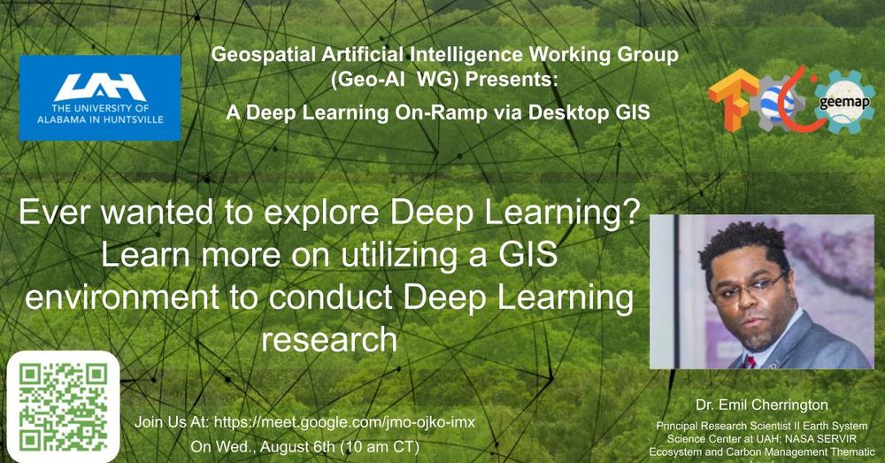
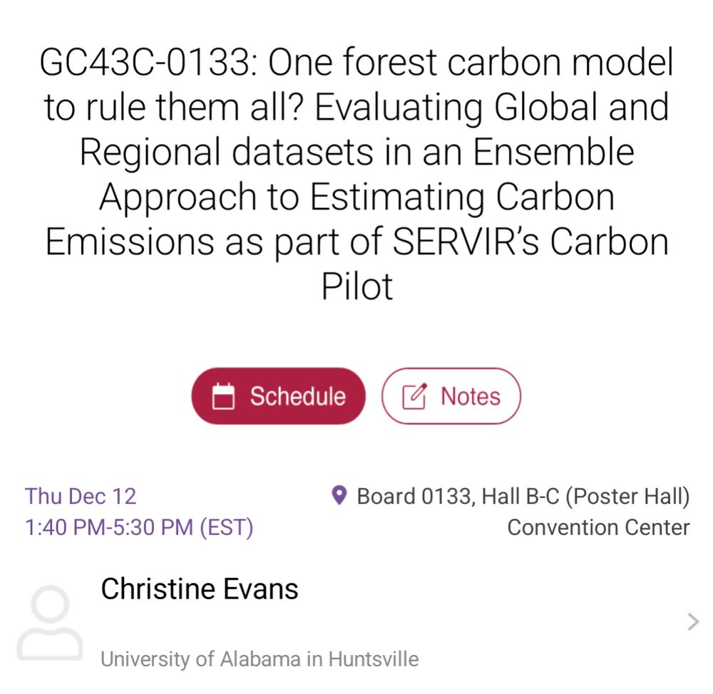
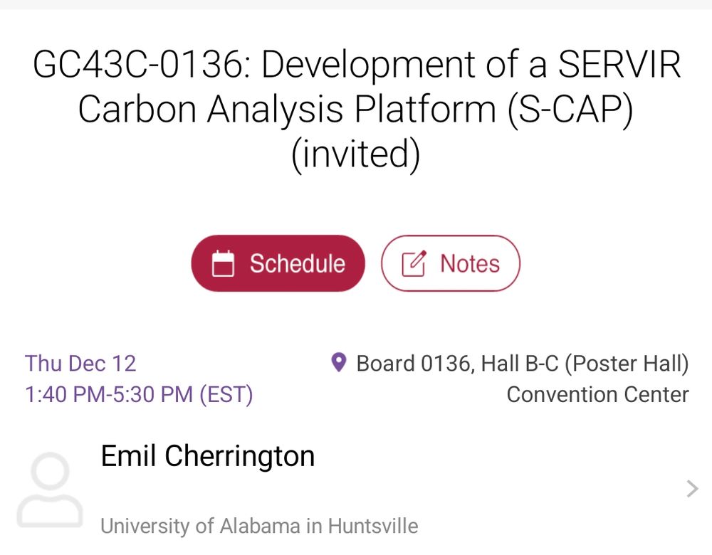
ℹ️ Join us on 8/6/25 for a talk by Dr. Emil Cherrington on A Deep Learning On-Ramp via Desktop GIS
🔗 Call: lnkd.in/ebHgTVcc
🌐 Group: lnkd.in/eCqiQKts
📷 videos: lnkd.in/eJWqm7i6
#EOchat #GISchat #GeoAI #GeoML #artificialintelligence #machinelearning #satellite #earthobservation
31.07.2025 21:18 — 👍 4 🔁 2 💬 0 📌 0
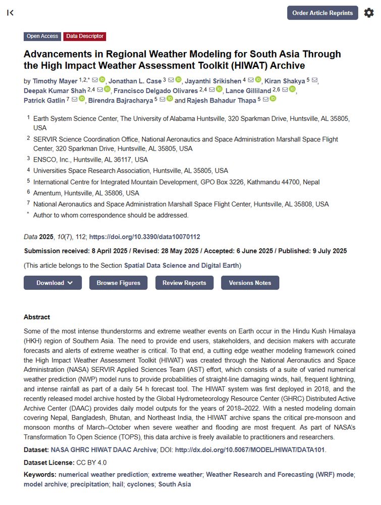
📃New High Impact Weather Assessment Toolkit (HWIAT) publication at doi.org/10.3390/data...
⛈️Learn more about ensemble WRF modeling over South Asia to address and alert communities associated with extreme weather. @icimod.bsky.social
14.07.2025 14:59 — 👍 0 🔁 0 💬 0 📌 0
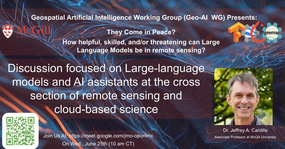
ℹ️ Join us on 6/25/25 for a talk by Dr. Jeff Cardille on LLMs and AI assistants at the cross section of remote sensing and cloud-based science
🔗 Call: lnkd.in/ebHgTVcc
🌐 Group: lnkd.in/eCqiQKts
📷 videos: lnkd.in/eJWqm7i6
#artificialintelligence #machinelearning #satellite #llm #earthobservation
23.06.2025 13:44 — 👍 3 🔁 1 💬 0 📌 0
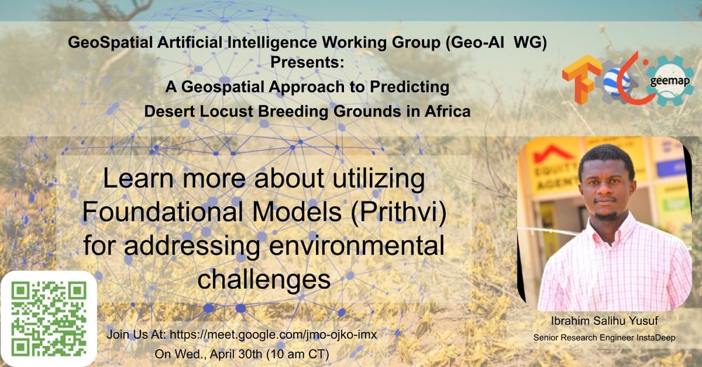
ℹ️ Join us on 4/30/25 for a talk by Ibrahim Yusuf on utilizing Foundational Models for predicting desert locust breeding ground at the SERVIR's Geo-AI WG
🔗 Call: lnkd.in/ebHgTVcc
🌐 Group: lnkd.in/eCqiQKts
📷 videos: lnkd.in/eJWqm7i6
#artificialintelligence #machinelearning #satellite #earthobservation
29.04.2025 14:04 — 👍 4 🔁 3 💬 0 📌 0
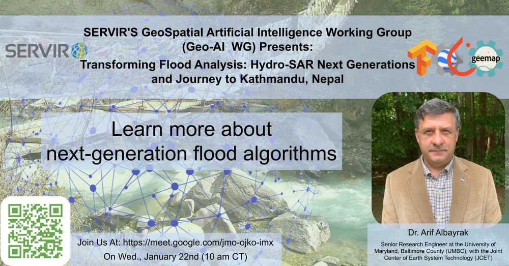
ℹ️ Join us on 1/22/25, for a talk by Arif Albayrak on Transforming Flood Analysis: Hydro-SAR Next Generation at the SERVIR's Geo-AI WG
🔗 Call: lnkd.in/ebHgTVcc
🌐 Group: lnkd.in/eCqiQKts
📷 videos: lnkd.in/eJWqm7i6
#artificialintelligence #machinelearning #satellite #earthobservation #hydrology #nepal
21.01.2025 15:04 — 👍 1 🔁 1 💬 0 📌 0
Spatial Informatics Group (SIG) is an internationally recognized organization dedicated to innovative solutions in geospatial analysis, environmental sciences, and socioeconomic sciences.
Interdisciplinary graduate program in Ecology (GDPE) at Colorado State University. Come for the science, stay for the community!
👋 Follow for insights on NLP, conservation, and climate
https://chang.eco
One Conservancy Visiting Fellow at TNC
Professor Bio/EA @PomonaCollege
Alum: Smith Fellows, NIMBioS @UTK, Levin Lab @Princeton
Mom, birding enthusiast, dog lover
Thinking about what brains are doing and how they ended up doing it.
🇩🇪 Postdoc in @sleeblab.bsky.social
🪲 Quantitative ethology, neuroethology and behavioural ecology
🔧 Developing open science software (mostly #rstats) and hardware
Assistant Professor @ Stony Brook AMS & CS
https://chenyuyou.me/
Ph.D. student on generative models and domain adaptation for Earth observation 🛰
Previously intern @SonyCSL, @Ircam, @Inria
🌎 Personal website: https://lebellig.github.io/
Neuron trainer and Earth Observation mage at IGN France. Kicking stuff until it works.
🌐 https://nicolas.audebert.at
🐘 http://mastodon.social/@nsh
(he/him)
PhD - R&D Engineer at French Mapping Agency @ignfrance.bsky.social working on Deep Learning and computer Vision for Earth observation
🌏🌱
trying to make Geospatial Foundation Models work
Research Fellow at @ESA PhiLab
Previously at @KULeuven, @Cnam
PhD in Data Science at @Sapienza
website: https://sites.google.com/uniroma1.it/valeriomarsocci
#AI4EO #GeoAI #SSL4EO
28🇫🇷 Researcher and AI Coordinator at @ignfrance.bsky.social. Interested in unsupervised learning, remote sensing, satellite imagery and scene understanding.
🏳️🌈 he/him
Scientist. ED of Clay, #AIforEarth. Ex MSFT Planetary Computer, Chief Scientist Mapbox, Satellogic VP, World Bank, Rocket scientist postdoc, astrophysics PhD. 📍 Copenhagen. Dad to Sela and Paz, with Emma.
Associate Professor @UTKnoxville | Amazon Scholar | Creator of #geemap & #leafmap | Talk about #Geospatial #GeoPython #DataViz #GIS #FOSS #EarthEngine
Interdisciplinary Fellow at the University of Aberdeen.
Digital twinning of the cryosphere.
Earth Observation 🛰️, Glaciology 🧊, and Artificial Intelligence 🖥️.
Post Doctoral Researcher 🇫🇷 Using Novel and Traditional Observational and Analysis Tools 🛰️ 🎣 to assess Anthropogenic Impacts on Marine Environments 🐠 Surfing, stats and cycling. He/him
www.BedeFfinianRoweDavies.com
CS PhD Student in Italy 🇮🇹
Working towards making Deep Learning at-the-edge feasible.
🐱 GitHub: https://github.com/matteorisso
🎓 Scholar: https://scholar.google.com/citations?user=ltE9im8AAAAJ&hl=en
🕸️🏗️ matteorisso.github.io
PhD Student at Technical University of Munich, interested in Generative Modeling and Uncertainty Quantification for Earth System data
https://nilsleh.github.io
Postdoctoral researcher | Chaos and ML | @mpipks.bsky.social
https://martinuzzifrancesco.github.io/
co-founder scientist of @asterisk-labs.bsky.social | ex @esa.int Φ-lab
computer vision, earth observation, signal processing
https://mikonvergence.github.io
Tackling the worlds toughest challenges with AI & ML applied to satellite & aerial imagery
https://www.satellite-image-deep-learning.com/