Danish Resident 🇩🇰 | @SeptimaDK | FOSS4G user/advocate/educator | OsGeo Charter Member | Author: Discover QGIS 3.x 2nd Ed. | Co-author: QGIS for Hydrological Applications 2nd Ed.| Co-author: Collecting Field Data with QGIS & Mergin Maps
Geospatial Communicator.
Data + Stories for @developmentseed.org
@osmus.bsky.social Board Member
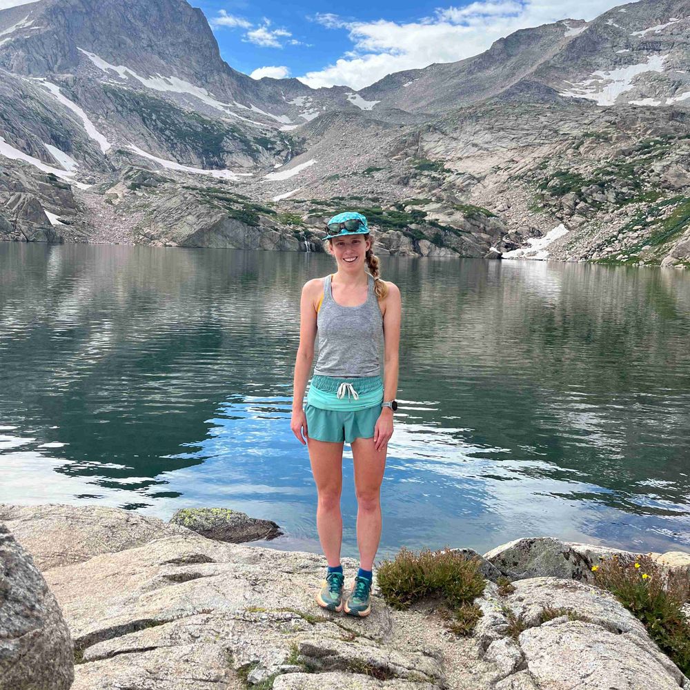
Hiking shenanigans. Desert dweller.
Official Bsky Account for WomenInGIS.org
🛰️🗺️👩🏻💻co-founder @thrivegeo.bsky.social & @geospatialwomen.bsky.social | 📚 closing the skills gap in #geospatial data literacy | #EarthEngine GDE | #earthobservation #EdTech #upskilling
Machine Learning Engineer at Pachama previously at Development Seed
🌱. Spatial data, adventuring 🚴♀️, and 🍪 baking enthusiast. she/her
Advisor | Technologist | Marketer | 🌎 Geographer | Geospatial | GIS | Former ESRI Executive | Earth Champion | Meditator | Never Trump 💙
Owner of Spatial Spirits -> www.spatialspirits.com
LinkedIn -> https://www.linkedin.com/in/lindacstevens/
Tech Lead @developmentseed
Formerly @NASA
Lecturer @ Loyola Marymount University
Founding Editorial Board Member @ Cloud-Native Geospatial
Steering Council Member @ Pangeo
open source enthusiast, ultra runner
geographic technologist
Opinions mine but we can share
👩🏼💻🤦🏼♀️ 🌎💕
#location #geo #ux #seattle #urbanism #maplibre #mapbox #esri #leaflet #python #rstats
Cartographer at NatGeo | past Board member @ NACIS
geographer | adventurer | Rhode Islander | she/her
Newcastle University Academic Track (NUACT) Fellow. Archaeologist and remote sensing specialist. Working on ways to use Earth observation to model past sustainable landscapes (agriculture, water management).
Satellites, Sea, and Society! Bridging gaps between data providers and users @EUMETSAT & beyond. DEI, Mental Health, Open Science, Cooking, Wine, & LEGO. Views my own.
Science Data Visualizer | Seeking Next Opportunity | Former NASA Earth Observatory 🌎🛰🗺 | UCLA Alumni 🎓 | Award-Winning Cartographer 🧭 | 🎙️ President of Women in GIS
Researcher in Geophysics and Space Geodesy at IPGP and IGN
Weighing water and watching the Earth deform from space 🌍🛰️
Views are my own.
floods, satellites, maps, social justice, co-founder and chief scientist Floodbase and asst. prof University of Wisconsin-Madison and co-founder @umbela-org https://beth-tellman.github.io https://www.floodbase.com https://umbela.org mom. Pro-winter.
Remote sensing fellow at University of Bristol looking at volcano deformation using SAR data. 🛰️
👩🏻💻🗺☀️she/her | geospatial data analysis, nature-positive science, and cartography at Conservation International | Tar Heel 💙 🐏 | views my own
Climate Data Visualiser @copernicusecmwf.bsky.social 🛰️ 📈🌍🌡️🎨 • @datavizsociety.bsky.social DVS mentor 2025 • Previously physicist @cambridgephysics.bsky.social 🔬 & data journalist @thetimes.com 🗞️ • 🇮🇹 + 🇬🇧 • Views mine
🌏🛰️ #Earthobservation #remotesensing #geospatial #dronemapping | Co-founder She Maps and GeoNadir | Assoc/Prof JCU | she/her |🔗https://linktr.ee/drkjoyce