1923 map of the area.
By 1923, the Homewood playground/bathhouse appears on maps. The Westinghouse mansion had recently been demolished and the estate converted into a city park. Heinz died in 1919, and in 1924, his mansion would be sold and deconstructed, with the materials used to build new homes on the land. 🍅❤️
16.02.2026 15:37 — 👍 3 🔁 0 💬 0 📌 0

Your tax dollars at work sign on the construction fencing around the park.
It’s mind-boggling that playgrounds were controversial and deemed disruptive by some, but they were. I wonder if Heinz’s public support made for tense dinner-party conversations within the Point Breeze social set. A century before the term YIMBY would be coined, H.J. made a difference by saying yes.
16.02.2026 15:32 — 👍 3 🔁 0 💬 1 📌 0

Polaroid of the public pool under construction.

No parking sign on the construction fencing.
Homewood Park has been a focal point of the community ever since, and its most recent restoration project is nearly complete. A new football field was finished last year, and the playground and public pool (today’s version of the “bathhouse”) should open in the months ahead.
16.02.2026 15:29 — 👍 1 🔁 0 💬 1 📌 0

1913 letter from Heinz to City Council. Letter courtesy of the Pittsburgh City Archives.
During the early twentieth century, as the public playgrounds movement grew, Heinz supported these efforts. But more importantly, he supported these efforts near his home. In 1912, when a playground and bathhouse were proposed two blocks away, he wrote a letter of support to the City Council.
16.02.2026 15:27 — 👍 2 🔁 0 💬 1 📌 0

1910 Map showing Heinz's estate (next door to Westinghouse and close to Frick) in Point Breeze. Homewood is on "the other side of the tracks."
While Heinz was a man of his time, he also held beliefs that today might be called “progressive” about the nature of work, social welfare, and community. These beliefs and actions certainly ran counter to some of his neighbors along Millionaire’s Row in Point Breeze.
16.02.2026 15:25 — 👍 2 🔁 0 💬 1 📌 0

The Heinz 57 stacks seen from the Basin Street city steps in Troy Hill. Downtown and the 16th Street Bridge in the distance.
Pittsburghers are not alone in their love for Heinz ketchup. Still, Pittsburgh is unique in that the region has long benefitted from the generosity and civic-mindedness of H.J. Heinz and his family, long after the brand name was sold and the food production plants turned into luxury apartments. 🧵
16.02.2026 15:23 — 👍 12 🔁 0 💬 1 📌 0

A Visit to... Homewood Playground and Park, Homewood South
Pittsburgh's Parks, Playgrounds, and Trails
Start your week with the curious history of H.J. Heinz and Homewood Park and Playground! Don't like dealing with threads? No problem - here's the link to the full post with lots of photos and maps from 1910 and 1923.
pghgreenandgray.substack.com/p/a-visit-to...
16.02.2026 15:17 — 👍 4 🔁 0 💬 0 📌 0

1890 map showing Solitude: mansion and all outbuildings on the estate.

1923 map showing City of Pittsburgh ownership. Manion is gone as are other outbuildings which contained a power-station. The stable is indicated.
And while I’m disappointed that a lack of “estate planning” led to the demolition of a Gilded Age mansion, perhaps the tunnel led to Westinghouse’s true home and the solitude necessary for his life’s work.
Maps show the location in 1890 and 1923. Before and after "Solitude." ❤️
13.02.2026 20:45 — 👍 3 🔁 0 💬 0 📌 0

Mini-tunnel at the playground!
During his life, Westinghouse was awarded over 360 patents, and his creativity and intellect changed the course of world history. It does not surprise me that the tunnel was constructed with the utmost care and stability.
13.02.2026 20:42 — 👍 2 🔁 0 💬 1 📌 0

Photo from Historic Pittsburgh of the stables at the Westinghouse estate. While the house was demolished, the stables building served park maintenance until the 1960s when it was rebuilt into a hideous, squat structure.
All contents and building materials were promptly sold and the remains imploded and buried. As a result, the underground tunnel leading to Westinghouse’s private lab, located under the stables, remained untouched. Maybe people knew about it, or maybe not.
13.02.2026 20:39 — 👍 3 🔁 0 💬 1 📌 0

Photo of the many shade trees at Westinghouse Park - in the area where the mansion once was.
George sold the estate to the Western Pennsylvania Engineering Society in 1918, and the Society, in turn, turned the deed over to the City. The transfer stipulated that the mansion be demolished and the land be used as a public park in memory of Westinghouse.
13.02.2026 20:36 — 👍 2 🔁 0 💬 1 📌 0

Photo from Historic Pittsburgh of the Westinghouse mansion and estate, "Solitude."
In 1914, when George and Marguerite Westinghouse died, there were no specific instructions regarding the disposition of their Pittsburgh estate, known as Solitude. As a result, the property passed to their only child, George Westinghouse III, who lived in California with his family.
13.02.2026 20:35 — 👍 3 🔁 0 💬 1 📌 0

Polaroid of the playground at Westinghouse Park in Pittsburgh.
On the surface, Westinghouse Park looks pretty ordinary: walking paths, a small playground and shelter, and assorted stone slab walls and city steps. But this space is unique in that what cannot be seen is almost as important as what can. 🧵
13.02.2026 20:33 — 👍 3 🔁 0 💬 1 📌 0

A Visit to... Westinghouse Park, Point Breeze North
Pittsburgh's Parks, Playgrounds, and Trails
Next up is a long-ish post about Westinghouse Park! Don't like dealing with threads? No problem - here's the link to the full post with lots of photos and TWO maps! (thrilling, I know... lol) pghgreenandgray.substack.com/p/a-visit-to...
13.02.2026 20:32 — 👍 2 🔁 0 💬 0 📌 0
That tracks. Remember when residents made their own speed bumps on Melwood and ended up on national NPR?
12.02.2026 00:14 — 👍 1 🔁 0 💬 0 📌 0

1923 map of Dallas Ave. long before the park arrived - this was a very dense residential and industrial area along the railway back then.
But we know many more grabbed onto the idea and never let go. ❤️
08.02.2026 20:55 — 👍 1 🔁 0 💬 0 📌 0

Park bench and playground equipment at Dallas Playground.
Their street-smart distrust of the unfamiliar might be viewed as ignorance (or worse) by adults unfamiliar with the harsh realities of their lives. I don’t doubt that some children never took to playing, either by their own choice or because of their families’ demands.
08.02.2026 20:53 — 👍 3 🔁 0 💬 2 📌 0

A working water fountain! At Dallas Playground.
But it’s not beyond belief that some children, born into poverty and with household responsibilities starting by age 5 or 6, wouldn’t immediately understand what teachers expected. I think about these children from 130 years ago, and the language barriers, hunger, and fatigue many of them faced.
08.02.2026 20:51 — 👍 4 🔁 0 💬 1 📌 0

Dallas Playground sign.
Reports from those early years indicate that while children in middle-class areas quickly took to playground activities, those in areas adjacent to mills often seemed not to know “how to play.” Some adults were skeptical, claiming children surely used the playground while adults “were not looking.”
08.02.2026 20:49 — 👍 3 🔁 0 💬 1 📌 0

Polaroid of Dallas Playground in Homewood West.
Playgrounds are such a big part of modern-day Pittsburgh that it’s easy to forget they’re a relatively recent invention. In 1896, the Civic Club of Allegheny County joined forces with education and social welfare groups to create the first playgrounds, all adjacent to schools, in the City. 🧵
08.02.2026 20:43 — 👍 14 🔁 3 💬 1 📌 0
Marcus Rediker’s book about the fascinating life of Benjamin Lay is one of my favorite historical biographies of all time. Lay’s life-long conscious decisions and actions (which might be called guerrilla tactics today) offer a blueprint and high bar.
08.02.2026 13:49 — 👍 3 🔁 0 💬 0 📌 0

"Look around, assess where you are, reflect on where you have been, and dream of where you are going. Every moment of the present contains the seeds of opportunity for change."
- J Francis
✌🏽❤️🌲🌎
Keep going;
#blueskyartshow #sunlight #graffiti #streetart #photography #PMA
07.02.2026 21:20 — 👍 24 🔁 2 💬 1 📌 0
Neat! Please share your impressions when you’re finished.
07.02.2026 19:00 — 👍 1 🔁 0 💬 0 📌 0
Is an audiobook in the works?
05.02.2026 00:25 — 👍 0 🔁 0 💬 1 📌 0
The Washington Post, which is owned by Jeff Bezos, announced that they're shutting down their books section. We'd say "ironic," but...
Keep supporting indie bookstores and public libraries over the mega retailer, aka the institutions that actually care about storytelling 💓
04.02.2026 17:32 — 👍 256 🔁 84 💬 4 📌 2

1923 map of the area where Baxter Park is today.
And back in 1923, Baxter Park wasn't yet a thing but the Brushton School building was already in place (as was the large apartment building that is now boarded up). Note the trolley car barn building across the street!
02.02.2026 21:06 — 👍 1 🔁 0 💬 0 📌 0

Baxter Park Improvement Plan | Pittsburgh Parks Conservancy
In 2024, the Pittsburgh Parks Conservancy received approval and initial funding to implement substantial improvements to Baxter. The community-endorsed plan is available on the EngagePGH website. I was happy to see that benches and picnic pavilions were requested. pittsburghparks.org/baxter-park-...
02.02.2026 21:03 — 👍 1 🔁 0 💬 1 📌 0

Polaroid of the playground slide at Baxter Park.
I get the impression this is a regular spot for both of them. A slow walk around the block, a sit and rest in the park, and a slow walk back home. There are as many reasons for sitting on a park bench as there are people sitting on them. That shouldn’t be controversial; that’s common sense.
02.02.2026 21:01 — 👍 2 🔁 0 💬 1 📌 0
All USA towns chosen randomly.
By @nofunnick.bsky.social
Check out @art-institute.bsky.social and @wydot.bsky.social
Things on walls, etc
Follow on Ig: @pittsburghgraffiti
Currently out standing in my field.
Fighting every day to deliver a city that working New Yorkers can actually afford. Mayor of New York City.
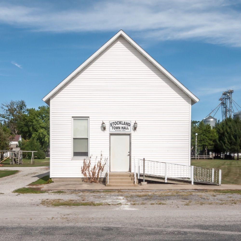
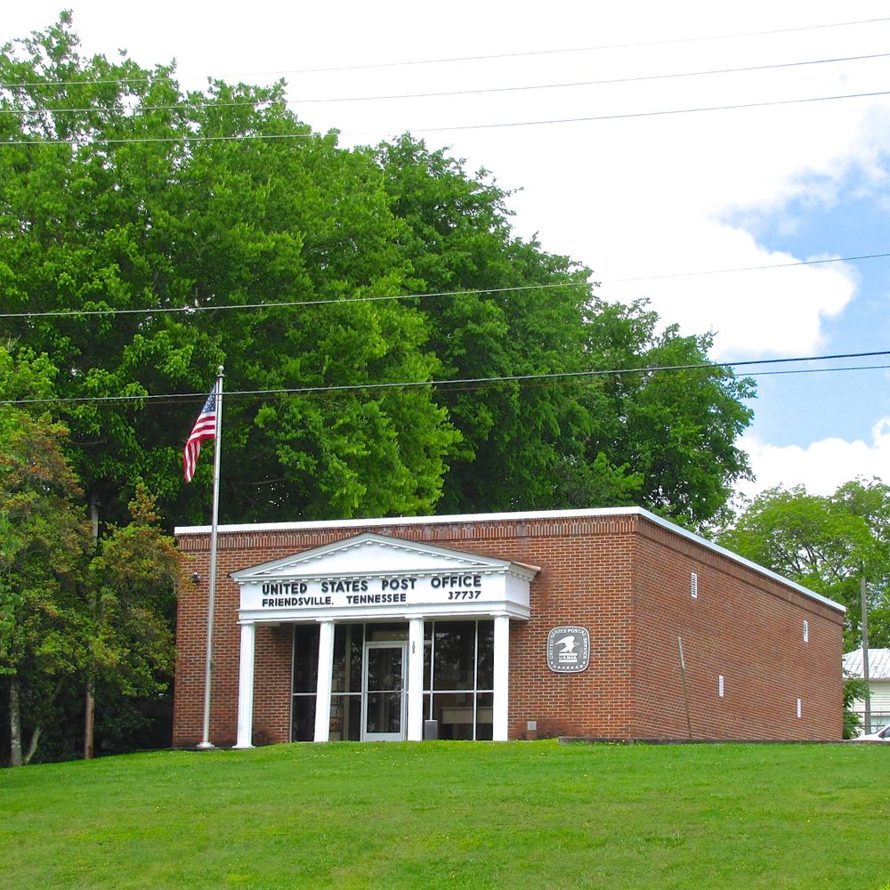
Buildings, signs, and symbols indexed by keyword. Original photographic documentation since 2010.
Chicago, IL — www.ruralindexingproject.com
Pittsburgh. Program Director at 91.3 WYEP. Music, native plants/birds/nature stuff. Secretly Italian. My views don’t represent my employer’s views, as I’m a human being with my own thoughts n’at. No fascism.
She/her
I live in Beechview, Pittsburgh. Interested in libraries, information/disinformation/media, music, Latin American and Iberian studies, useful/thoughtful tech, and books 🏳️🌈
Photos, humor, sports, gaming, history, technology, whatever
Photos are mine (never A.I.) unless in reposts or otherwise noted. GIF's are from Tenor via bsky.app
Every USPS every half hour, by @fishmanpet.bajurny.us, based on work by @fitnr.bsky.social, not affiliated with the USPS
Pedestrian at best.
Writing about walking at: https://howtowalkinamerica.substack.com/
Yinzer. Artist. Gardener. Yogi. Hiker. Mom. Presby patient schlepper. Fetid moppet.
No AI!
#Photography
Backup account: https://bsky.app/profile/3bus.bsky.social
LibraryThing is the number one app and website for cataloging your books, getting book recommendations and socializing with fellow book lovers.
Living adventurously, writing books.
www.alastairhumphreys.com
🎧 The audiobook company that shares profits with independent bookshops
💗 Certified B Corp
🔗 Shop, sign up, find bookshops, & more: www.libro.fm
Yes, I’m pulling the car over to look at plaques. I’ll be just a minute. Not a historian, but did minor in history at Indiana University. Formerly notgoingpro on other socials.