View toward North Fork Hobble Creek and Provo Peak massif

View from Bald Knoll summit
South Fork of Provo River canyon and Mt. Timpanogos

Lots of beaver activity near the trailhead
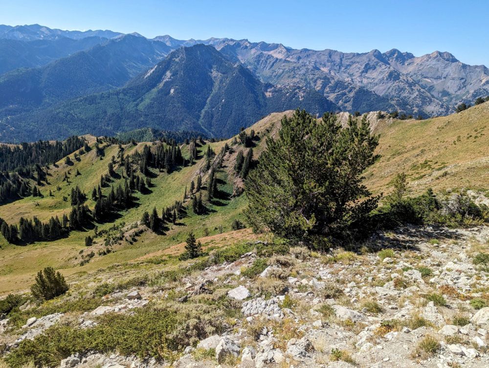
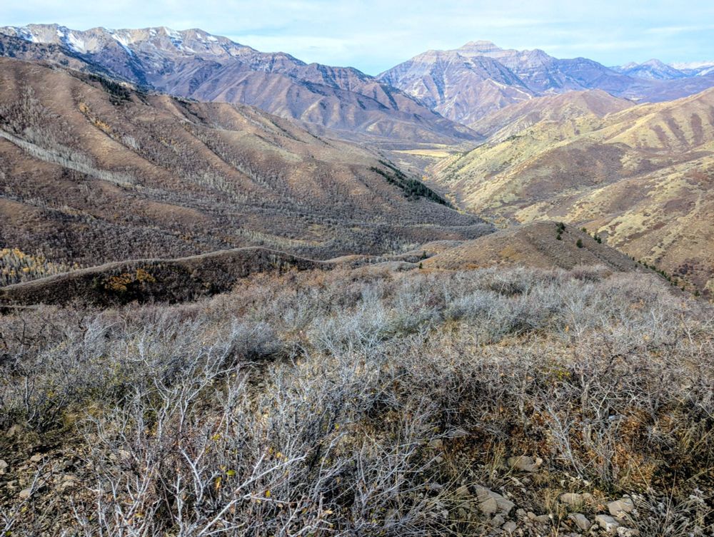
Ridge exploration in the Wasatch Back. Bald Knoll (9,337') and Rattlesnake Mountain. 10.6 miles and 3149' of elevation gain.
26.10.2025 04:50 — 👍 1 🔁 0 💬 0 📌 0

Pine View Reservoir to the southeast

Looking down toward North Ogden, Willard Bay and Ben Lomond

Ogden Canyon and Mt. Ogden

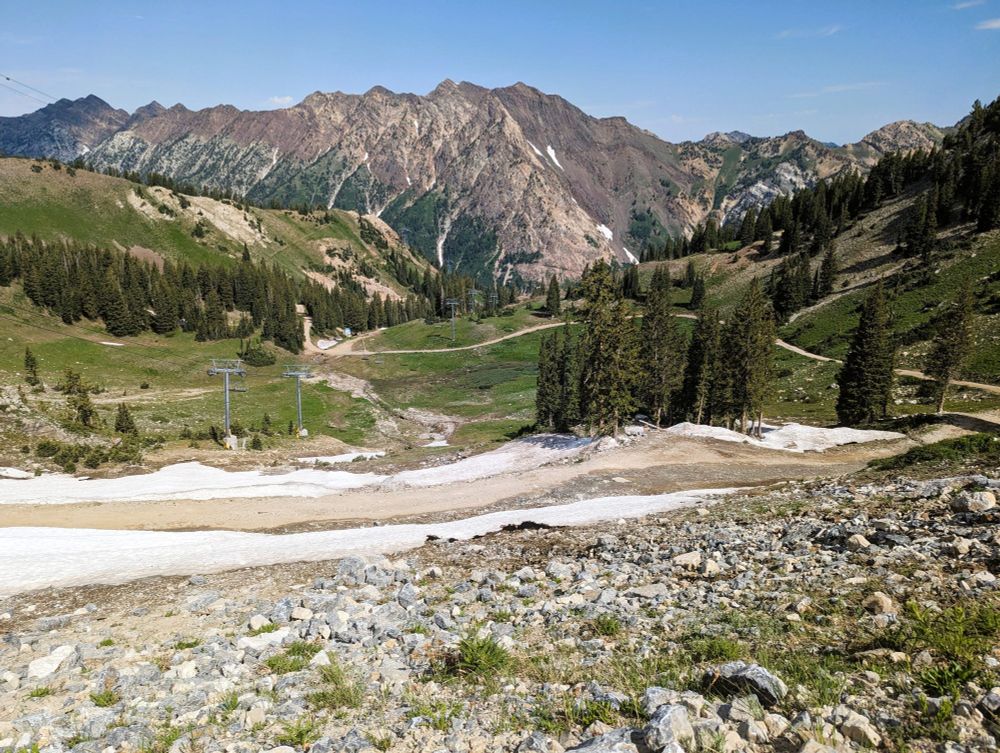
Only about 1" of snow near the top.
Lewis Peak from North Ogden divide. Forgot this was the opening day of deer hunting season. Saw several hunters on dirt bikes (no fair, that's cheating). 10.7 miles, 2,769' elevation gain. Muddy but very little snow.
18.10.2025 21:55 — 👍 0 🔁 0 💬 0 📌 0

View down into Mueller Park and Bountiful from the ridge

View into Mueller Park (Elephant Rock in center right)

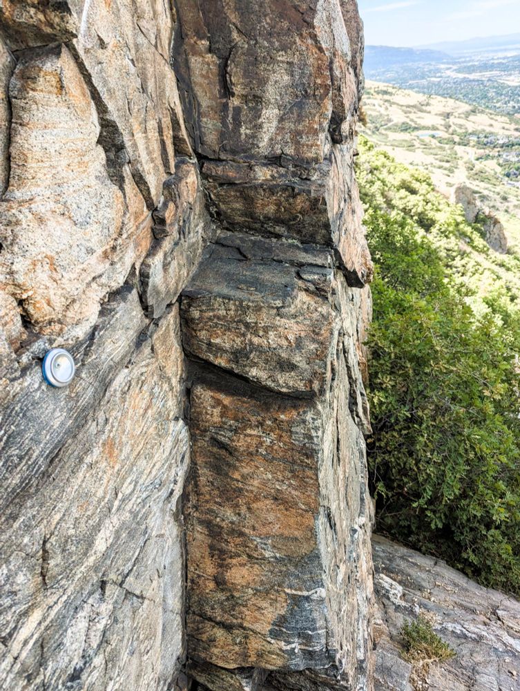
Abandoned mine shaft well off trail

This is where I turned around. Dense manzanita and no clear trail to the summit.
Kenney Creek trail to Sessions Mountain ridge, first hike in snow this season. About 4" at my maximum elevation of 8759'. Lost the trail in the snow and had to turn around. :( 8.4 miles, 3,812' elevation gain and one wasp sting.
13.10.2025 23:14 — 👍 1 🔁 0 💬 0 📌 0

Close to the easternmost point of the hike

New bridge over Mill Creek

Muted fall colors today

Looking toward Elephant Rock from a newly constructed section of the Bonneville Shoreline Trail
Checked out some new trails in Mueller Park this afternoon. You can now do a loop on both sides of the canyon. But beware of mountain bikers. 9.9 miles, only 1,460' of elevation gain. Nice and easy.
09.10.2025 23:35 — 👍 1 🔁 0 💬 0 📌 0
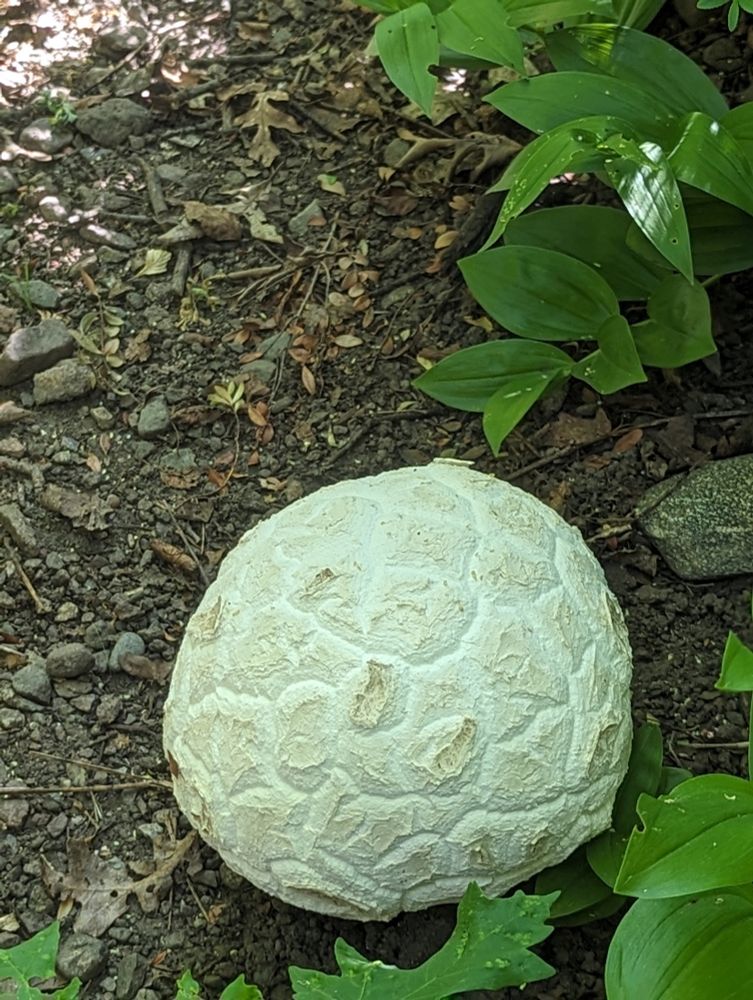
This one was crawling on my neck
09.10.2025 23:32 — 👍 0 🔁 0 💬 1 📌 0
They are sure ugly MFs
03.10.2025 00:58 — 👍 0 🔁 0 💬 1 📌 0

Something was crawling on my neck--I knocked this Jerusalem cricket off mid-hike.

Foliage on the ridge

Looking down toward Bountiful and the Great Salt Lake

Christmas tree farm along the trail; the trees were planted in perfect rows.
I noticed a trail on Google Earth but it wasn't listed anywhere. It's only 10 minutes from home, so I had to check it out today. It goes from the edge of Bountiful up the ridge between Holbrook and Mueller Park canyons. I went as far as the Kenney Creek trail junction on the Sessions Mountain Ridge.
03.10.2025 00:31 — 👍 0 🔁 0 💬 1 📌 0

Looking south from summit toward North Ogden

Looking north from summit toward Willard Peak
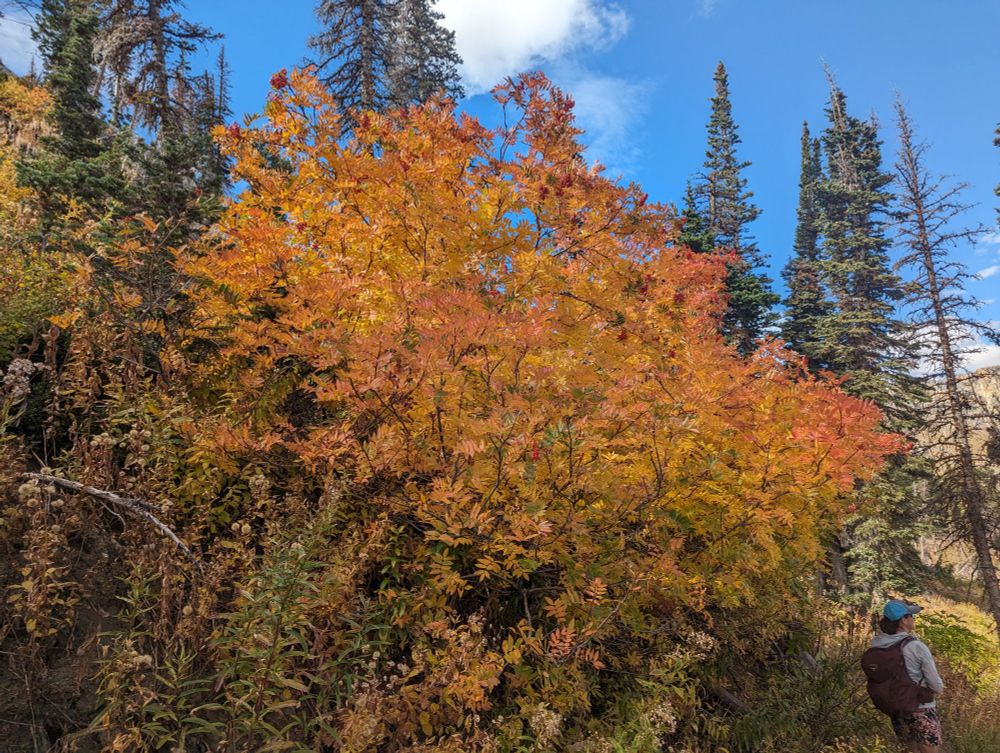
Beautiful foliage (no filter)

More fall colors
Ben Lomond (elev. 9722) from North Fork TH with Wasatch Mountain Club. Perfect weather and lovely foliage. 15.1 miles, 3,973' elevation gain.
28.09.2025 23:07 — 👍 1 🔁 0 💬 0 📌 0


Pinecrest Mine

View down into Red Butte Canyon

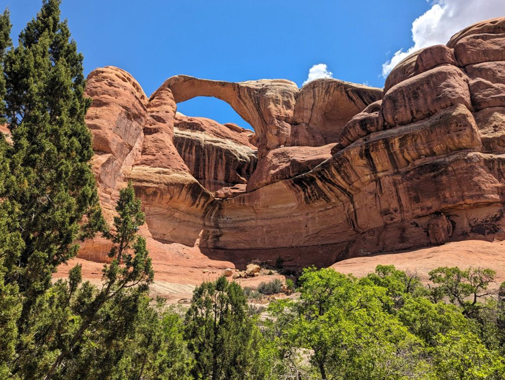
Fall colors are spectacular along the Emigration Canyon Mine loop today.
19.09.2025 20:43 — 👍 0 🔁 0 💬 0 📌 0
I heard something about it on NPR the other day. Apparently our brilliant HHS secretary is behind this.
14.09.2025 16:22 — 👍 0 🔁 0 💬 1 📌 0
Since good news seems hard to come by these days, just thought I'd share that the goldfish I thought had died in my pond had actually flourished over the last couple of months without any care. They are just good at hiding I suppose.
14.09.2025 16:21 — 👍 0 🔁 0 💬 0 📌 0

Morning light in Ward Canyon

Old mine (lead/zinc/copper) adit.

Massive fern brake

I steered clear of this obviously
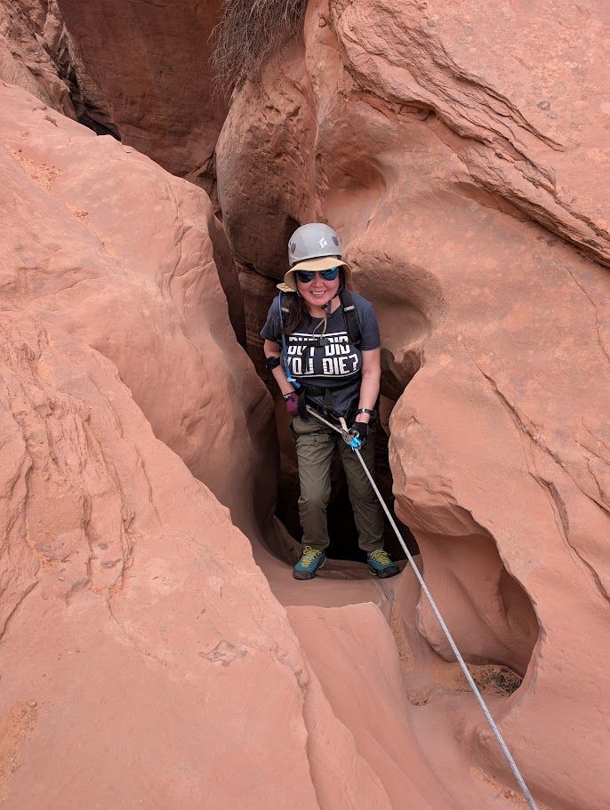
Ward Canyon is a mostly unknown gem of a hike which I had completely to myself after the first mile.
13.09.2025 21:17 — 👍 0 🔁 0 💬 0 📌 0

Closing in on Baker Pass and Mt. Raymond

Tree roots splitting rock, Mt. Raymond

View southwest from Desolation Trail toward lower Big Cottonwood Canyon

View southwest from Desolation Trail toward Big Cottonwood Canyon and Salt Lake Valley
Bowman Fork/Porter Fork loop around Mount Raymond. Great conditions. 11 miles, 3740' elevation gain/loss. Note: Millcreek Canyon road is closed before the Bowman Fork turnoff through the rest of the year and beyond.
05.09.2025 19:13 — 👍 2 🔁 0 💬 1 📌 0

Looking down toward Draper and Utah Lake

Looking East toward 2nd Hamongog

Ennis Peak summit (9,348')

Majestic Lone Peak
Ennis Peak via Jacob's Ladder. 3507' elevation gain and 10.8 miles. Maybe some day I'll do all of the Lone Peak trail (this was about half of it).
31.08.2025 19:59 — 👍 0 🔁 0 💬 0 📌 0
Reserve tickets here or pick up at the door: westminsteru.edu/calendar.htm...
The program features the winners of our Concerto Competition and Elgar's Enigma Variations, with guest assistant conductor Robert Oldroyd (here is my view from the harpsichord as he is leading the orchestra in Mozart).
26.04.2025 18:10 — 👍 0 🔁 0 💬 0 📌 0

Hi everyone, I wanted to extend an open invitation to my last concert as director of the Westminster Chamber Orchestra. I've been conducting this ensemble with only one interruption since 2012, but it's time to step down and pass the torch. The concert is May 7 at 7:30. Tickets are free!
26.04.2025 18:08 — 👍 0 🔁 0 💬 1 📌 0