Researchers standing beside an automatic weather station installed at Altikeeragh bog

an automatic weather station installed at Altikeeragh bog

Altikeeragh bog showing wet conditions

Rainfall data graph showing over 800mm of rain in the big since July 2025
It's wet on an Altikeeragh. Over 800mm since July 25! A wet bog is a healthy bog 😍 #AnPortach #Restoration #Carbon #Habitats
12.02.2026 17:13 — 👍 1 🔁 0 💬 0 📌 0
@ahamill.bsky.social
11.02.2026 14:44 — 👍 0 🔁 0 💬 0 📌 0
Nuts! When I was a teen (during Troubles) for a time we lived close to a British Army Hel base that was support for all the FOBs/Obs towers in South Armagh. It's was one of the busiest bases in Europe at time supposedly. Later on was reported that it would have been at least a 2nd strike target 😲
11.02.2026 14:08 — 👍 0 🔁 0 💬 0 📌 0

A Screenshot of the Soviet Map of Belfast
To look at the context of the ongoing Russian war in Ukraine you have to understand the mindset of Putin the ex-KGB Soviet. Soviet Union wanted to spread Communism through empire & colonialism. You don't map cities in such detail just to nuke them #SovietBelfast #Mapping go.qub.ac.uk/sovietbelfast
11.02.2026 13:49 — 👍 2 🔁 0 💬 2 📌 0
Like everything in NI 'world class' at launch, then after not so much. Having ridden MTB trails around the world I would not recommend a visit now unless you like following diversion signs 😞
10.02.2026 22:02 — 👍 0 🔁 0 💬 1 📌 0
The MTB trails are a mess, long before the most recent storms 🙄
10.02.2026 14:04 — 👍 0 🔁 0 💬 1 📌 0

Sign the Petition
Preserve Free Access to Kilbroney Park, Rostrevor
Here's the link to the petition.
This Council has repeatedly mocked the people of our area with its vanity projects and self-profiting plans.
08.02.2026 21:37 — 👍 3 🔁 6 💬 2 📌 0

Queens University Lanyon Building at night.
@qubelfastofficial.bsky.social
As I'm not on the ketclub app anymore I missed the fact that @qubelfastofficial.bsky.social has left the platform since Feb 2025. Follow them here! 👏🏼
10.02.2026 13:41 — 👍 4 🔁 3 💬 0 📌 0

🗺️ Learn to map peatlands with open data
Join us at NI Science Fest for an introductory workshop. You’ll learn how to bring open spatial data on peatlands into QGIS, style maps, digitise features and create simple, useful visualisations.
👉 Sign up here: buff.ly/tzmUTKk
#NIScienceFest
09.02.2026 10:01 — 👍 1 🔁 2 💬 0 📌 0

Daisy got Spring game 😎 #Belfast
08.02.2026 16:29 — 👍 0 🔁 0 💬 0 📌 0

Man given suspended sentence after death of boy by careless driving
Aaron Webb was struck by a van on Friday 11 December 2021 and later died in hospital.
'McGuckin had taken his hands off the wheel at times and was eating his lunch with a fork and spoon whilst driving.' Kill with your car in this country, suspended sentence. 😡
BBC News - Driver handed suspended sentence after causing death of boy
www.bbc.co.uk/news/article...
07.02.2026 00:42 — 👍 0 🔁 0 💬 0 📌 0
Ok. You're right. But why stop at cyclists? Let's make pedestrians wear high-vis and helmets too! It's safer right? Actually, let's make absolutely everyone wear high-vis and helmets at all times everywhere (except people in cars obviously!) so people driving cars feel better
05.02.2026 13:09 — 👍 199 🔁 27 💬 15 📌 5

Data dashboard showing the NI energy mix for last 39 days with renewable energy at 57%

The weather here has been crap but almost 60% of our energy has been generated by renewables, primarily wind, in the last 30 days. Without this mix we would be burning mostly gas. 💨
app.electricitymaps.com/map/zone/GB-...
05.02.2026 22:45 — 👍 2 🔁 0 💬 0 📌 0
It's going to be "but helmets are good!" all day from people who don't cycle and won't read anything about it, isn't it?
People who'll tell you the Dutch and the Danes etc got it all wrong and they should listen to the guy who is thinking about it today for the first time
05.02.2026 12:57 — 👍 62 🔁 10 💬 4 📌 0
Yeh, I think I read a while back that the 'speed nagging' you get in modern cars when over the local road limits should have been part of a speed management system (speed restricted) but car manufacturers lobbied gov's not to make it a law etc...
05.02.2026 14:02 — 👍 0 🔁 0 💬 0 📌 0
Geofenced speed restrictions, especially in urban areas, we be mandatory in autonomous cars but unfortunately at least a decade away. We could fix it tomorrow with good policy! Culture same here in North, 'wear yellow FFS, we can't see you' 🙄
05.02.2026 13:31 — 👍 1 🔁 0 💬 1 📌 0
Classic Victim blaming, wear yellow and we won't kill you, yet mandatory speed limiting on new cars was actively lobbied against by European manufacturers and never happened. Bring on autonomous vehicles, the laws will quickly change when companies are liable for 'accidents'. 😞
04.02.2026 08:50 — 👍 1 🔁 0 💬 1 📌 0

Helmets and hi-vis clothing to be made mandatory for e-bikes and e-scooter users
Cabinet will sign off on plans to explicitly ban the use of scramblers on roads this morning.
Great way to push people away from cycling.
We live in a country where the goverment refuse to lower speed limits to 30km/hour and instead want to dress everyone in hi viz so motorists can drive like they want and the gov can cut funding to cycling infrastructure. Pathetic.
04.02.2026 07:10 — 👍 48 🔁 16 💬 7 📌 1

Map identifying the approximate regions where various Indigenous groups lived in North America in 1776.
The Utah Historical Society just produced a new, excellent map of "The Peoples of North America in 1776." Great resource for anyone teaching, writing, presenting about Native peoples as part of their 250th work. america250.utah.gov/power-of-pla...
03.02.2026 13:48 — 👍 1296 🔁 503 💬 34 📌 45
Even as a primary school kid in dark troubles period of 86 we were excited with the idea of a teacher in space. I remember drawing a picture of Challenger on the pad in class. Rushing home to watch the launch on BBC 'Newsround'. I knew straight away the ship and crew were lost. 😔
28.01.2026 23:08 — 👍 1 🔁 0 💬 0 📌 0

STS-51L crew members Michael J. Smith, front row left, Francis R. “Dick” Scobee, Ronald E. McNair; Ellison S. Onizuka, back row left, S. Christa McAuliffe, Gregory B. Jarvis, and Judith A. Resnik.
On the 40th anniversary of the Space Shuttle Challenger disaster, we remember the seven astronauts who lost their lives and honor their courage, curiosity, and commitment to exploration.
Credit: NASA
Read more: www.seti.org/news/remembe...
28.01.2026 22:00 — 👍 69 🔁 31 💬 1 📌 2
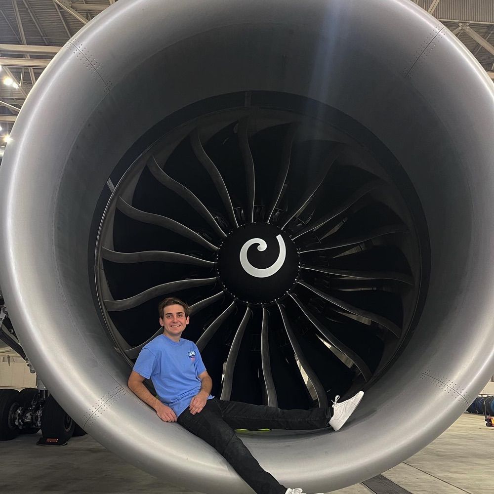
Holy Shit! ✈️
28.01.2026 20:07 — 👍 0 🔁 0 💬 0 📌 0

A larger DJI 400 drone sits behind a much smaller DJI Mavic Mini drone on an office table.
Don't worry kid, I'll be right behind you 🤓 #deones4good #Geomatics #Survey
28.01.2026 19:23 — 👍 3 🔁 0 💬 0 📌 0

A long wall covered with photos and artwork celebrating 40yrs of Belfast City Hospital

A wall covered with photos and artwork celebrating 40yrs of Belfast City Hospital

An aerial photo showing the master plan for the city hospital including a motorway that was never built, thankfully!
If you get the chance check out @leoprints.bsky.social exhibition on the ground floor of the City Hospital. 40 year anniversary of the iconic 'Thunderbird Building'. Go for the prints, stay for the maps 😍
27.01.2026 17:57 — 👍 2 🔁 2 💬 2 📌 0

Daisy the Collie dog sitting on a wall in Warrenpoint.
My Newry girlfriend 🦴
25.01.2026 18:27 — 👍 4 🔁 1 💬 2 📌 0

Monkey tennis
25.01.2026 12:35 — 👍 1 🔁 0 💬 0 📌 0
💪🏼
24.01.2026 16:35 — 👍 1 🔁 0 💬 0 📌 0
Ah the 'wear yellow so I can see you' is the weapons grade level of victim blaming 🙄
24.01.2026 15:27 — 👍 1 🔁 0 💬 0 📌 0
 24.01.2026 12:08 — 👍 9 🔁 2 💬 2 📌 0
data, policy | impact entrepreneur | covering soil and landscape‑scale agrobiodiversity
co-founder of data network https://hinterland.systems/
registering an 🇪🇺 data altruism organisation for land use data
https://davidweiner.bio.link
🛸🔪🎃🗿🥃
Director: In Search of Darkness (‘70s, ‘80s & ‘90s) & In Search of Tomorrow
Exec Producer:
Aliens/The Thing Expanded docs
Also:
@ItCameFromBlog.bsky.social creator;
Ex-Famous Monsters Exec Editor, THR/Heat Vision writer
Computational geographer. Associate Professor at AMU, Poznan, Poland. Co-author of http://r.geocompx.org, http://py.geocompx.org, and https://tmap.geocompx.org books […]
🌉 bridged from ⁂ https://fosstodon.org/@nowosad, follow @ap.brid.gy to interact
🗺️🗺️🗺️
🌉 bridged from https://stefanbohacek.online/@maps on the fediverse by https://fed.brid.gy/
Belfast native, biology teacher, mother of boys.
Committee on the Administration of Justice
An Coiste um Riarachán Dlí agus Cirt
Promoting Justice / Protecting Rights
Urbanist, Landscape Architect, Placemaker.
Performer, writer, speechifier, pub landlady, gender discombobulist
National Fucking Treasure
Ireland
Agent: Aoife Rice : pantibliss@gmail.com
LAST aisle seat on the left.
Emphasis on the FIRST syllable.
A person that walks, drives, cycles a bike & runs very long distances. Views expressed are my own.
Historian and writer. Book about how Americans remember George Washington and slavery forthcoming April 2026. Vice President of Research & Engagement at AASLH. www.johngmarks.com
**These are my personal views, not those of my employer**
"A tireless chronicler and commentator on all things climate" -NYTimes.
Climate research lead @stripe, writer @CarbonBrief, scientist @BerkeleyEarth, IPCC AR7 lead author / NCA5 author.
Substack: https://theclimatebrink.substack.com/
Twitter: @hausfath
Historian mostly, bunch of degrees; sporty, ex-elite athlete; MTBer; geocacher. Not much of a follow-backer. My book: https://www.bloomsbury.com/us/rebuilding-britains-blitzed-cities-9781350168800/
Robotic solar system exploration, night sky photography, exasperating earnestness. My day job is impersonating some of your favorite planets and spacecraft on social media for one of your favorite government agencies. Opinions here are my own.
California Living ☀️. Respiratory Therapist. Lifetime Democrat in an all Republican family. Love life, saving lives and coffee. CA-05 volunteer 🇺🇸🏳️🌈
Will work as hard as I can to ensure a blue wave in 2026!
https://buymeacoffee.com/petercollins
• National reporter at The New York Times
• Author of zero books
• NYT stuff: https://www.nytimes.com/by/mike-baker
📍 Seattle | Portland | PNW | News
UK astrophysicist and science communicator working at the Japan Aerospace Exploration Agency (JAXA). Author of 'The Planet Factory' and editor of ‘Planetary Diversity’. Very into space, virtual reality, computer graphics and rescue cats.
Persistent sousveiller. Walt Disney R&D Imagineer. DM for Signal. https://heavymeta.org
Aviation, Space and ElonJet
@elonjet.net
https://instagram.com/jacksweeney
https://grndcntrl.net/