Project logo
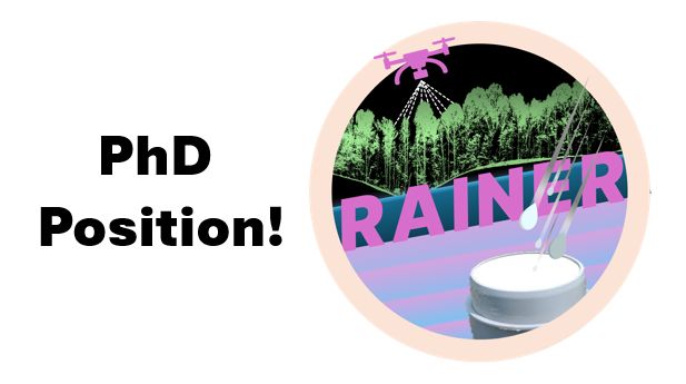
🚨 We are recruiting! 🚨 (3 years PhD position)
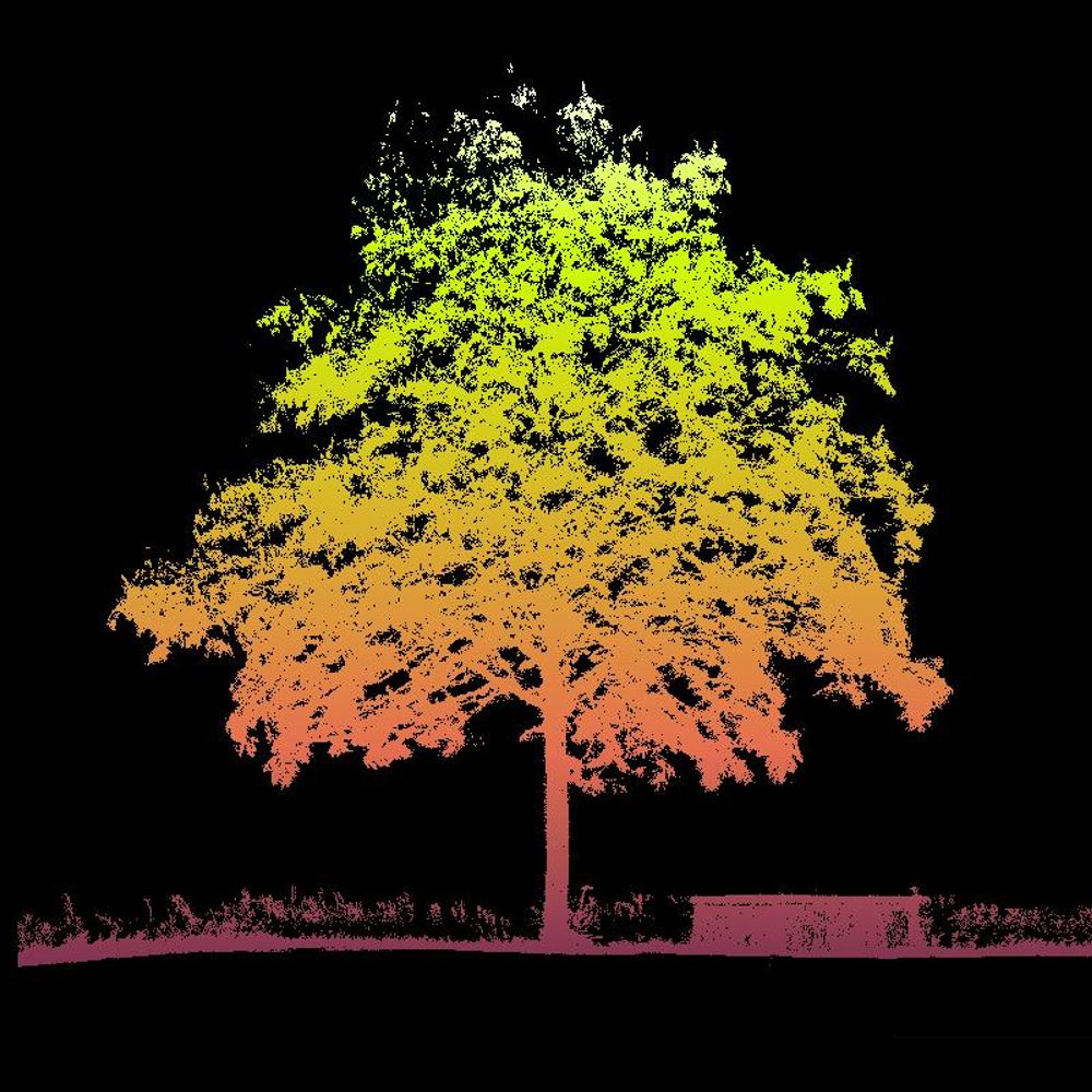
Interested in investigating the impact of forest structures on rainfall erosivity 🌳💧 with fieldwork methods, UAV-based LiDAR data, and modeling?
🔗 www.ifgg.kit.edu/downloads/so...
🔎 Contact us for details.
#PhDposition #Karlsruhe #KIT
21.07.2025 13:09 — 👍 4 🔁 7 💬 0 📌 0
no
05.02.2025 12:32 — 👍 0 🔁 0 💬 0 📌 0
für sowas brauch ich monate weil ich da nicht weiß was ich als erstes posten soll
05.02.2025 12:30 — 👍 3 🔁 0 💬 1 📌 0
Scientist, interested in forest ecology.
Division of Forest Remote Sensing at the Department of Forest Resource Management, Swedish University of Agricultural Sciences SLU.
Senior Research Scientist with the Canadian Forest Service. 🍁
#Landsat super-fan. #Lidar. #Forests. #Remotesensing. 🌲🛰
Member of the #OrderOfCanada. 🎖
📎https://www.researchgate.net/profile/Michael-Wulder
Forestry: a peer-reviewed journal on sustainable management of forests and trees owned by @theicf.bsky.social
Editor-in-Chief: @ffassnacht.bsky.social
Posts by: @saralilplants.bsky.social
https://academic.oup.com/forestry
Studying forests with lasers.
Scientist at the Swiss Federal Research Institute WSL @wslresearch.bsky.social
Earth observation researcher | satellite imagery, drones, trees, forests and the agri-environment.
Humboldt´s Earth Observation Lab focuses on a better understanding of coupled human-environment systems based on remote sensing data and geoinformation.
https://eolab.geographie.hu-berlin.de
Associate professor of remote sensing of forest resources at the University of Eastern Finland.
Environmental remote sensing: microwaves and data-model fusion for vegetation, fires, water, carbon cycle, Prof @TUD Dresden University of Technology
Optimizing multifunctional forest-based value chains with single tree information and application of digital technologies. EU Project funded by Circular Bio-based Europe Joint Undertaking / European Union.
🛰️📡 Unofficial mirror/fan account for the Landsat Program, a series of Earth-observing satellites co-managed by USGS & NASA, imaging the Earth since 1972. Posts do not necessarily reflect the views of USGS or NASA.
DFG funded collaborative research centre (SFB 1537). Multi-scale quantification and modelling of spatio-temporal dynamics of ecosystem processes by smart autonomous sensor networks.
Lidar, remote sensing, and forests.
Scientist at WSL.
Post doc @ Q-ForestLab using terrestrial laser scanning in forests
Postdoctoral researcher at Natural Resources Institute Finland (Luke) | Forest Remote Sensing
Scientist at @gfz.bsky.social focussing on UAV and terrestrial laser scanning of trees.
Spatial Data Science, geography, LiDAR, forests. 🌳🌍 Researcher at the @earth-observation.org at University of Würzburg
trees – proximal sensing - sensor field – lidar - uav - applied AI - dynamic teaching
Working group for Remote Sensing and Geoinformatics @freieuniversitaet.bsky.social
https://www.geo.fu-berlin.de/en/geog/fachrichtungen/geoinformatik/index.html
Scientific editing for plant biologists, by plant biologists. planteditors.com