⏳ Early bird reg for GIS-Pro 2025 is almost gone!
From newbies to pros—there’s something for everyone.
Workshops + hotel blocks fill fast—don’t wait! 🏔️
📅 Schedule: lnkd.in/efTZZuzd
🧳 Register: lnkd.in/eMdid6JW
🎓 Student/YP: lnkd.in/gM25DEAp
#GISPRO2025 #GIS #Denver #GPN #VanguardCabinet
28.07.2025 17:34 — 👍 1 🔁 1 💬 0 📌 0

Could you use some advice? Are you interested in giving back? Sign up to be a geospatial mentor or mentee. June 15 is the deadline date for applications: mentoring-network-urisa.hub.arcgis.com
@gpn-vc.bsky.social
13.06.2025 13:18 — 👍 1 🔁 1 💬 0 📌 0

GPN's Vanguard Cabinet has been supporting and celebrating young geospatial professionals since 2011. Learn more and apply to be a member of the next cohort! bit.ly/4dWCFdi
@gpn-vc.bsky.social
04.06.2025 14:16 — 👍 3 🔁 1 💬 0 📌 0
In 1925, women were barred from the Explorer’s Club, so they founded The Society of Woman Geographers. Trailblazers like Amelia Earhart & Jane Goodall pushed boundaries in exploration, science, and geography.
#IWD2025 #WomenInGeography @gpn-org.bsky.social @geospatialwomen.bsky.social
06.03.2025 22:19 — 👍 2 🔁 2 💬 0 📌 0
Be sure to take advantage of this opportunity! #gis #mentoring #gpn #gpnvc
04.02.2025 12:20 — 👍 2 🔁 0 💬 0 📌 0
Stand-Up 🎤
Comedy promoter/booker at Planet of the Tapes in Louisville, KY 📼
Photographer of vibes 📸🛸 (groovelyphoto.bsky.social)
https://www.planetofthetapes.biz/events
The Observations of Tornadoes by UAV Systems (OTUS) project is an effort to gather reliable measurements of the environment within and surrounding a tornado. www.theotusproject.com
GIS and cartography. BW photography. Woodworking. Food, family and adventure. Map posters @ www.etsy.com/shop/MapBliss. BW IG @ www.instagram.com/the.taking.lens/
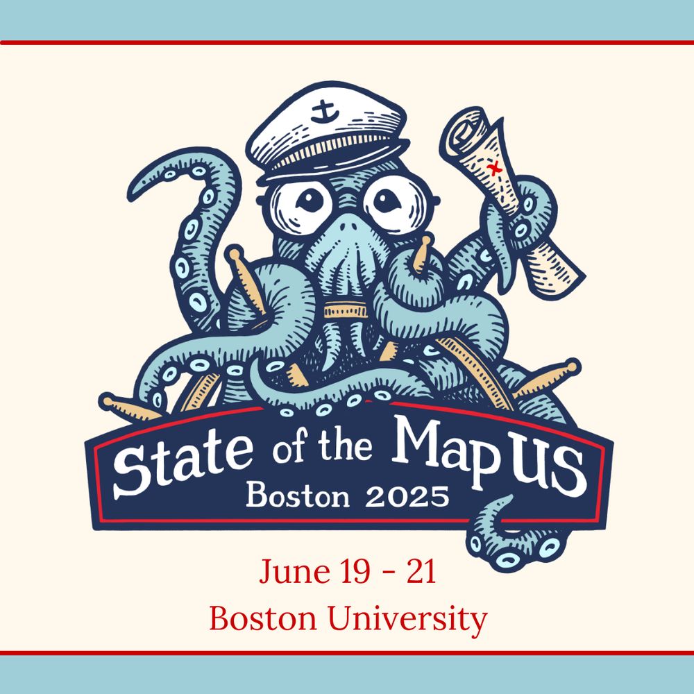
OpenStreetMap US invites you to chart the course with the mapping community at State of the Map US 2025 on June 19–21 in Boston, Massachusetts.
https://openstreetmap.us/events/state-of-the-map-us/2025/
Cartographer at NatGeo | past Board member @ NACIS
geographer | adventurer | Rhode Islander | she/her
Geographer working at University of Georgia. Community geography, critical GIS, health, food systems, housing. Website: jerry.shannons.us
Currently doing cartography things @Felt.
Been President @NACIS | Worked @stamen on @meta maps | Head of Cartography @CARTO | Web Cartography Lead @npmap | Cartographic Product Engineer @esri.
An arboreal, poly, gender non-participant mapmaker.
• Portfolio & tutorials: somethingaboutmaps.com.
• Prints: https://somethingaboutmaps.com/Storefront
• You can support my art & teaching at http://patreon.com/pinakographos.
Democratic candidate campaign for KY’s 81st District- House of Representatives 2026 🐎
https://linktr.ee/looneyforkentucky
ITpro @Microsoft, curious, speed lover, astro fan, gamer. Alert, help, share, learn. Views are my own
#StrongerTogether #unfoldtheuniverse #StandWithUkraine
MassGIS / EOTSS / Commonwealth of MA
Maps and data for Massachusetts
ESRI, GeoServer, QGIS, Postgres, FOSS4G, open source
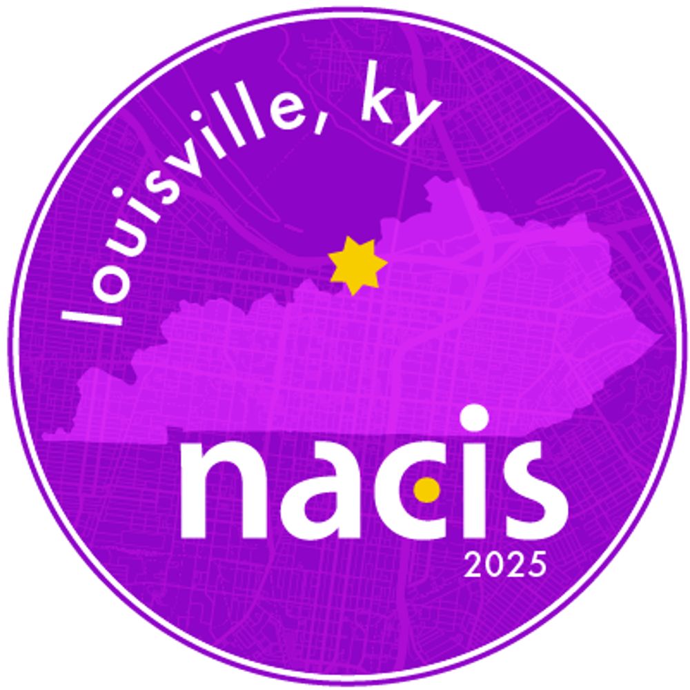
Do you #lovemaps? The North American Cartographic Information Society has been the home for map enthusiasts since 1980.
Use #nacis to be featured.
Learn more at nacis.org
The purpose of KAMP is to understand and improve the management and use of geospatial information in Kentucky and to provide dialogue and education regarding geospatial data issues and usage to all Kentucky professionals involved in geospatial information.
This bot pulls data from the USGS's real-time earthquake feed and posts a summary of any event in the lower 48 states having a preliminary magnitude 3.5+
made with 🫶🏼 by @DataDrivenMD.social
**NOT AFFILIATED WITH USGS**
Data Visualization. Ex-Planet & NASA Earth Observatory. Blue Marble, Earth at Night, color, cartography, occasionally skewed views of Earth. Looking for a job.
We are dedicated to fostering community for data visualization professionals.
What’s a Map in the Wild? It’s a map in a real-life context, a sign, a poster, an object, perhaps quirky, perhaps unexpected. What it isn’t is a screen grab from a web site, the output from a GIS or similar.
Senior Product Manager of Mapping & Cartography @ Esri. Previously @washingtonpost.com and National Geographic. Map-maker and geographer. portfolio: laurenctierney.com
Cartographer, data visualizer, beans on toast defender.
helenmakesmaps.com for tutorials
University of Louisville Alumni. GIS Analyst for MarketGraphics Research Group. #GIS