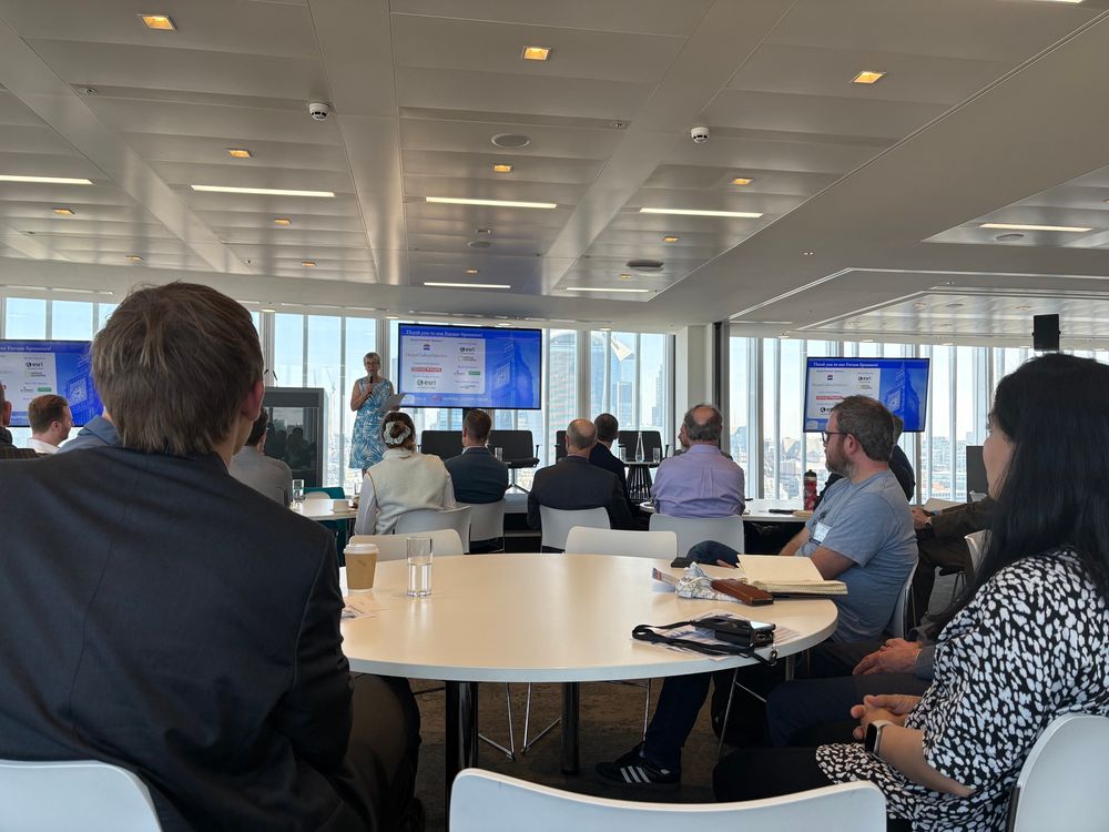
Vivien Godfrey introducing the 2 day event. There are round tables with people sitting around them, and 3 screens at the front.

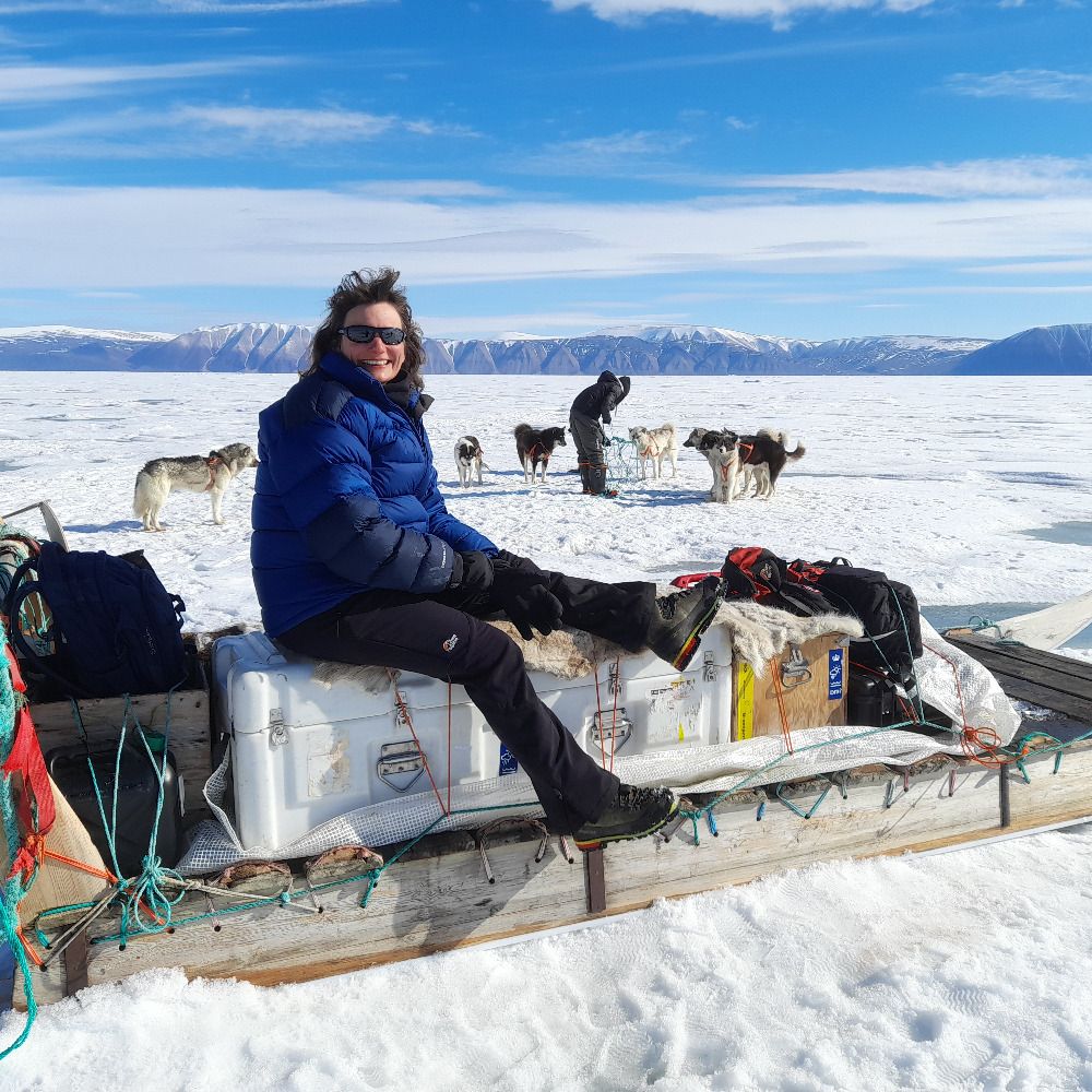
Showing our map of of ‘The Shackleton Crossing’ route on South Georgia to someone.
Photo taken by David at SplashMaps.
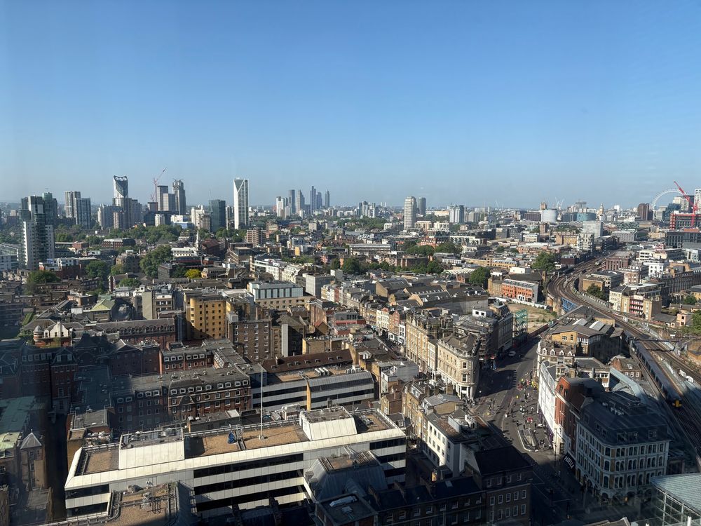
A view of London. Many tall buildings can be seen and the sky is a bright blue.
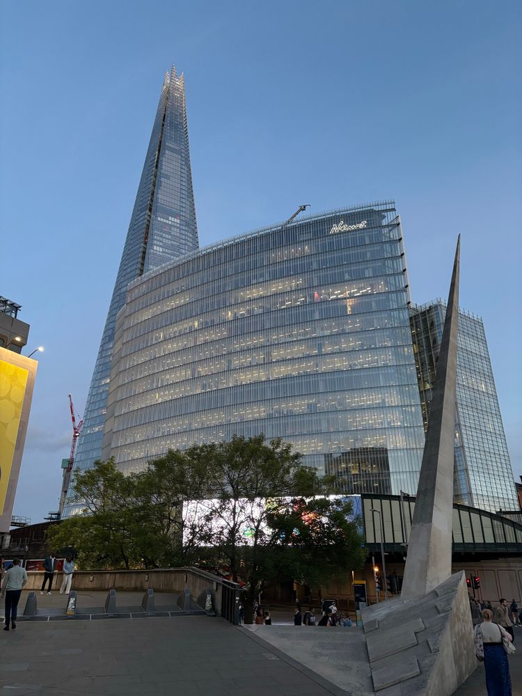
A photo of the News Building with the Shard behind it. The event is taking place at Harper Collins, inside the News Building.
It has been a busy week for conferences this week! One of our GIS Specialists presented at the IMIA Mapping Leaders Forum in London yesterday. It has been a useful few days talking to some world-leading map publishers and printers and we’ve gained lots of ideas on how we can do more with our maps!
15.05.2025 12:48 — 👍 5 🔁 2 💬 0 📌 0
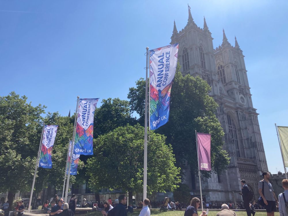
A photo outside the Esri conference, looking towards Westminster Abbey. Flags in the foreground read 'esri UK Annual Conference'.
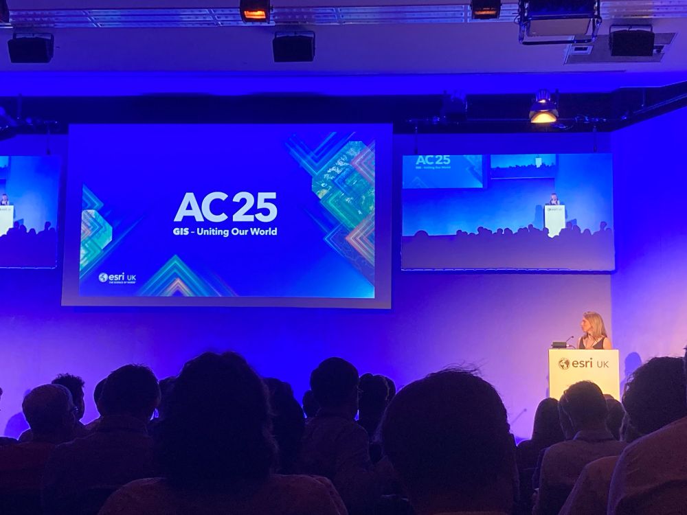
A photo from within one of the talks at the conference centre with a screen showing 'AC25 - GIS - Uniting Our World'.
Some of the MAGIC team are at Esri UK Annual Conference today in London. Give us a shout if you want to chat to us 👋
13.05.2025 11:37 — 👍 3 🔁 1 💬 0 📌 0
ArcGIS Living Atlas of the World
ArcGIS Living Atlas of the World is the foremost collection of geographic information from around the globe. It includes maps, apps, and data layers to support your work.
Did you know that some of our key Antarctic topographic data is in Esri's Living Atlas? We regularly update these services so that your maps will always show the latest authoritative data! livingatlas.arcgis.com/en/browse/?q...
For more info: www.bas.ac.uk/media-post/b...
26.03.2025 10:31 — 👍 6 🔁 2 💬 0 📌 0

#throwbacktuesday to when our now BCS President Paul Naylor took a break from our conference in 2023 @bas.ac.uk 🤣
11.03.2025 19:13 — 👍 7 🔁 2 💬 0 📌 1

A fieldwork map of the Union Glacier region. Ice thickness is shown in a yellowy-green colour ramp, contours are shown with thin blue lines, and mountain spot heights are given in metres and feet.

A map of the Antarctic Peninsula and West Antarctica, with blue sea and white land. Ice shelves are grey. Various depots are shown on the map as pink crosses, and lines are drawn between these points giving distances.
The last Twin Otter aircraft has just left Rothera which marks the end of the field season, and gives us a chance to look back at the support we have provided over the year. We started with fieldwork and air unit maps!
🧵 1/5
07.03.2025 15:34 — 👍 11 🔁 2 💬 1 📌 0
Place names are vital for safe navigation and ensure that features are clearly identified in research and communication - this is a fantastic chance to be involved!
More details below on how to propose a name in British Antarctic Territory & South Georgia and the South Sandwich Islands 👇
18.02.2025 15:43 — 👍 5 🔁 0 💬 0 📌 0
A new iceberg, ~30x14 km in size, recently calved from the southern end of the George VI Ice Shelf. It's called A84 and is already making quite an impact, bumping into the Stange Ice Shelf over the weekend! These Copernicus Sentinel-1 images from Polar View show the new berg over the last few days.
04.02.2025 15:07 — 👍 47 🔁 25 💬 1 📌 2
Did you know that MAGIC support the BAS Air Unit with mapping, imagery and also 3D visualisations? Check out Rothera runway, made using the latest drone imagery draped over a digital elevation model! Visualising the runway & obstacle surfaces in 3D helps pilots better understand these remote areas ✈️
29.01.2025 19:27 — 👍 8 🔁 4 💬 0 📌 0

Scene in Antarctica, with sledges stacked high with equipment in foreground, sitting on snow. A mountain (dark colour) is visible in the background, against a blue sky.
Photo: Joanne Johnson (BAS)

A large grey striped boulder with a person lying on the top in a relaxed pose. The boulder is bigger than the person and is perched on yellowish rocks.
🔥New paper! 🧪🔥
Glacial geology of Hudson Mountains, nr Pine Island Glacier, Antarctica 🪨❄️
www.sciencedirect.com/science/arti...
With @cosmokeir.bsky.social @radatmines.bsky.social @shelfyice.bsky.social and others.
Fieldwork with @bas.ac.uk
🧵1/n
16.01.2025 16:04 — 👍 37 🔁 5 💬 1 📌 1

Ice Logistics Portal
The Global Ice Charts And Sea Ice Information Portal
🌐 Exciting news! We’re thrilled to announce the release of the new Ice Logistics Portal, providing global sea ice charts from 13 ice & weather services. Explore: www.icelogistics.info
1/3
14.01.2025 12:36 — 👍 5 🔁 4 💬 1 📌 1

A photograph taken from a RPAS platform showing the Stange Ice Shelf in the foreground and icebergs in the ocean near the horizon.
Work onboard the RRS Sir David Attenborough continues as numerous icebergs drift past to our north. Using a combination of optical and radar satellite imagery, plus regular RPAS flights, we keep watch on any icebergs that might get close enough to interrupt us. Credit Pete Bucktrout & Jamie Oliver.
09.01.2025 19:57 — 👍 14 🔁 8 💬 0 📌 1

A cloudy satellite image with a large white feature shown in a gap in the clouds in the centre, and some snow-covered islands just about visible at the bottom of the image.

A satellite image of an icy landscape with ice-covered land shown at the bottom of the image, ice flowing out to sea with rumples and crevasses, and solid sea ice in the top right corner.

A satellite image with dark-coloured open water in the top left with icebergs floating around at the edge of some sea ice, and a large white feature taking up the right hand side of the image.

A satellite image showing a heavily crevassed/rumpled glacier in the centre of the image, terminating in open water which appears black. Land is surrounding the glacier, also with crevasses and a variety of glaciological features apparent.
We work with a range of satellite imagery in MAGIC, allowing us to look at some beautiful areas of Antarctica!
Here's a few recent Sentinel and Landsat images (acquired Nov and Dec 2024, courtesy of Copernicus and USGS).
Can anyone name all of the locations or features? 🧊🎄
23.12.2024 10:54 — 👍 15 🔁 6 💬 1 📌 2
Hello! I'm a GIS and Mapping Specialist at @bas.ac.uk in the Mapping and Geographic Information Centre @magic.bas.ac.uk (or MAGIC for short 🪄)
You can learn more about what we do in this cool intro below 👇
12.12.2024 12:34 — 👍 6 🔁 0 💬 0 📌 0
We facilitate international research on the Antarctic and Southern Ocean and provide independent scientific advice.
www.scar.org
Join us for #scar2026!
GIS Intern at British Antarctic Survey @bas.ac.uk | MSc Artificial Intelligence & Data Science | MSc Environmental Geoscience
Cartography is my passion & profession. Author of CARTOGRAPHY. & THEMATIC MAPPING. Maps+drums+beer+snowboards+footy+politics+sarcasm. 🇬🇧 in 🇺🇸 Views mine. links.esri.com/mappyhour
A global network that inspires, unites and empowers women+ in the geospatial field to become strong changemakers.
Antarctic climate scientist, IPCC author, FRSNZ, musician, & artist. #julialang. Vegan, yoga, runner.
Author of FEEDBACK, a book about complexity and connection - published by Rowman & Littlefield.
🌏 www.nicholasgolledge.github.io
Glaciologist at University of Bristol, loves ice, meltwater, dirt, microbes and inventing new ways to measure them
Assistant Professor at the Department of Geoscience, Aarhus University.
Researching ice sheet and ice cap behaviour in the Arctic and sub-Arctic
This is the voice of ETH Zurich's Glaciology group (Prof. Farinotti), jointly affiliated to @wslresearch.bsky.social.
Formerly "Ice Stream B" · Siple Coast is my home · I have cool (subglacial) lakes · Streamer
Research fellow in ice-ocean modelling and climate change ❄️🌊 in the Future of Ice on Earth group at Northumbria University, UK. He/him
Dr in glaciology and expert mapper of coastal topography at a Cooperative Research Institute. An organizer for disability rights in science, which mostly involves yelling at agencies. Science is the easier part of my work. #T1D
Ice sheets, climate, math, coasts, community resilience. Associate Professor
Georgia Tech EAS. Miami born 🇧🇴-🇦🇷-🇺🇸 he/him
Polar Oceans. Open University, UK. Londoner. Proud to work with the BBC on Frozen Planet 2, Blue Planet 2, Frozen Planet & others. Heart always in the ice. MBE. Polar Medal.
To protect Antarctica and the Southern Ocean is to protect our future on this planet. In this critical decade for action, our science explores the role of the Antarctic region in the global climate system. Led by @utas.edu.au.
🔗 aappartnership.org.au
Climate scientist in Aotearoa NZ. Ancient Antarctica, paleoclimate, biomarkers, geology and the implications of it all for climate change!
Researcher in Tromsø 🇳🇴 | PhD from @GeogDurham | glaciology ❄️ | remote sensing 🛰 | polar science 🇦🇶🇬🇱 | she/her 🏳️🌈
Climate Change Biologist
Antarctica, UNEP EEAP
@arcsaef
@GlobalChangeBio
HomewardBound Faculty
University of Wollongong living on Dharawal Country
She/Her Views her own
Climate Scientist at @climatecentral.org | PhD | Passionate about improving science communication through data-driven stories | Harrisburg, PA | https://zacklabe.com/
Views, thoughts, and opinions expressed here are only my own.
Antarctic Explorer + Filmmaker.
📺 Creator + host of LIFE UNEARTHED on PBS (2026)
🚀 NatGeo Explorer + NASA advisor
🔬 Often filming tardigrades
🔗 https://arielwaldman.com
Climate scientist at DMI, Greenland, Antarctica, polar regions in general.
Dipping a toe in yet another social media site. Mostly on mastodon though @ruth_mottram@fediscience.org
Blogging at sternaparadisaea.net