Highways have fundamentally altered the landscape of the United States 🚗
31.01.2026 16:34 — 👍 18 🔁 7 💬 1 📌 0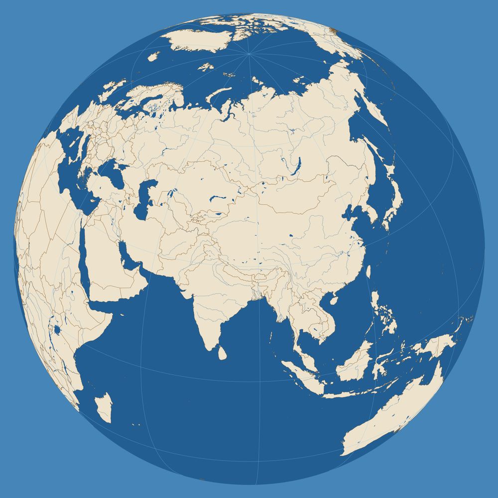
@thinkinginspace.bsky.social
Maps, mapping, geoviz. No politics. Fellow @RGS_IBG Board member @wmsmapsociety Adjunct Professor @georgetownsfs www.thinkinginspace.net Simple Orthographic Map Creator with MetBrewer colors: https://www.mapspam.net/MetOrtho.html
Highways have fundamentally altered the landscape of the United States 🚗
31.01.2026 16:34 — 👍 18 🔁 7 💬 1 📌 0
I added a cool globe to my collection and learned what I could about it.
www.mapspam.net/classic-1925...

A holiday look for the North Pole.
24.12.2025 12:04 — 👍 1 🔁 0 💬 0 📌 0So cool.
24.12.2025 10:46 — 👍 2 🔁 0 💬 1 📌 0
Kids were making snowflakes and shadow puppets. First time making a map with scissors.
21.12.2025 12:33 — 👍 4 🔁 0 💬 0 📌 0 20.12.2025 15:29 — 👍 2 🔁 0 💬 0 📌 0


 20.12.2025 14:52 — 👍 1 🔁 0 💬 0 📌 0

Really excited about this collection of blank maps from 1900 that I just got. Many very challenging geography exercises for students to color in historic features and boundaries with crayons.
20.12.2025 14:52 — 👍 3 🔁 0 💬 1 📌 0
❗Join us for our last collection showing of 2025 ... guest curated by you❗
This free showing will be hosted Friday, December 19 in the Learning Center with a staff member from the Leventhal Center available to answer questions.
Drop in any time between 2:00 pm–4:00 pm. No reservation is required.
There is a great opportunity here to publish an artistic thematic metamap... the map to the maps.
17.12.2025 19:34 — 👍 0 🔁 0 💬 0 📌 0 16.12.2025 20:12 — 👍 11 🔁 1 💬 2 📌 1
 16.12.2025 19:30 — 👍 5 🔁 0 💬 0 📌 0
 16.12.2025 19:29 — 👍 3 🔁 0 💬 0 📌 0

Global connectivity.
Aviation route pairs on Great Circle paths (not observed flight routes).

Geography questions from the 1858 Oxford Local Examinations. How would you do?
I have been looking everywhere but have not yet found surviving examples of any "accompanying map" actually used in an exam. There was a whole industry around publishing exam prep maps.

#30daymapchallenge | Day 22 Data: Natural Earth | The Great Islands
Earlier this summer I finished this print version of my map from last year depicting our Great Lakes as islands. Been trying to learn more about lighting techniques in Blender—I think this was a big leap forward from 2024 version!

This physical map of North America by the masterful @mtnmapper puts the location of Greenland and Iceland into perspective. You can grab the map here: buff.ly/M3Y4zrV
22.11.2025 16:30 — 👍 37 🔁 11 💬 2 📌 0
Day 22 of the #30DayMapChallenge - Natural Earth Data. I used the Ocean Bottom layer to make a Bathymetry map of Northern Europe.
22.11.2025 17:12 — 👍 31 🔁 5 💬 0 📌 0After some helpful comments from testers, I have updated this tool for making simple outline maps on an equidistant projection. Zoom and rotate functions work better now and without a mouse. Make base maps for briefing graphics or coloring books.
mapspam.net/OutlineMap.html
 18.11.2025 09:11 — 👍 1 🔁 0 💬 0 📌 0

That chart is well worth studying. Share of daily transactions taking place in cash around the world. As an Australian, I’m very much used to cashless everything by now. I’m still totally against going fully cashless.
11.11.2025 06:26 — 👍 65 🔁 23 💬 10 📌 4


On Monday afternoon (GMT) I will be giving a lecture at the Royal Geographic Society on Alexander Macomb Mason. Naval history, exploration in Africa, 19th-century century science, and lots of #maps... Register for in-person or online here:
www.rgs.org/events/upcom...

A bright, colourful map titled 'TECTONIC MAP OF THE SCOTIA ARC'. The map covers South America, the Scotia Sea, South Georgia and the South Sandwich Islands, and the Antarctic Peninsula. Bathymetry is shown with varying shades of blue.
We've recently created a new collection of legacy maps in our Catalogue, which will be added to over time. For now, we have 3 interesting maps available to view and download: data.bas.ac.uk/collections/...
The Scotia Arc is one of our favourites. The map was a massive compilation effort at the time!

Celebrate Geography Awareness Week at Brown! From Nov 17-21, IBES & partners will host a career panel, photo contest, workshops, colloquia, and tours highlighting how GIS skills can be used in + beyond the classroom.
Full schedule: https://ibes.brown.edu/news-events/2025-geography-awareness-week


Who was "SHB" that made these maps for Churchill's books?
06.11.2025 15:04 — 👍 1 🔁 0 💬 1 📌 0
 02.11.2025 19:43 — 👍 3 🔁 0 💬 0 📌 0


So glad to receive my copy of Great Power Diplomacy. It was a worthy challenge to make maps for a range of case studies. I am especially grateful that Wess thought to include a "Note on the Maps": a rare chance to reflect on the interplay of maps and strategy.
22.10.2025 20:43 — 👍 3 🔁 1 💬 0 📌 0
One of my inspirations…
theconversation.com/the-maps-of-...

My new map of the Baltic Sea got a strong response last week. Many seemed to appreciate the fresh perspective on maritime geopolitics, and a few asked for a high-resolution download, so I've posted it here:
thinkinginspace.net/f/baltic-sea...


 13.10.2025 08:15 — 👍 2 🔁 0 💬 0 📌 0