QwastTube GISOpenCourseWare channel home page.

Videos at QwastTube
I’m launching #QwastTube, a #PeerTube based, privacy‑friendly alternative to my YouTube channel.
I’m still importing videos, but it’s already live:
👉 videos.qwast-gis.com
YouTube will stay in sync for now, but I hope you’ll join me on the #fediverse.
30.01.2026 07:10 — 👍 3 🔁 2 💬 0 📌 1

Open course on programming basics for QGIS Users
🎉 New year, new #GIS skills!
⌨️ Learn scripting in #QGIS with my free course at @gisopencourseware.bsky.social: no complex setup, just start from QGIS.
Topics:
#GDAL #CLI
#Python basics
#PyQGIS with the Notebook plugin ✨
👉 courses.gisopencourseware.org/course/view....
07.01.2026 16:26 — 👍 4 🔁 2 💬 0 📌 0
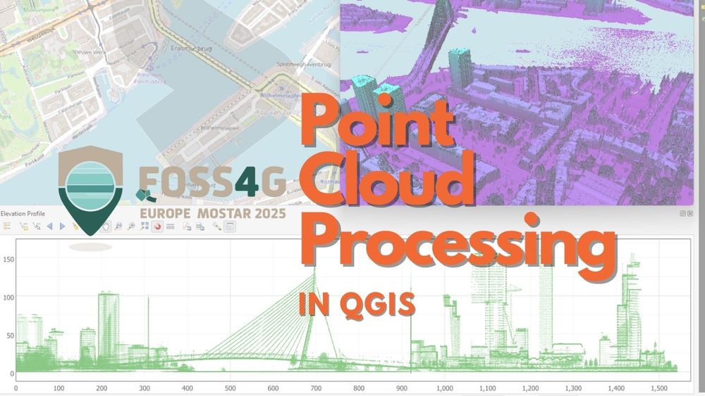
Point Cloud Processing in QGIS workshop at GIS OpenCourseWare
🚀 Today, I'm running a workshop on #PointCloud Processing in #QGIS at #FOSS4GEurope 2025 in #Mostar! We'll dive into the newest features in QGIS.
💻 Can’t join in person? Free access at @gisopencourseware.bsky.social: courses.gisopencourseware.org
15.07.2025 05:37 — 👍 2 🔁 2 💬 0 📌 0
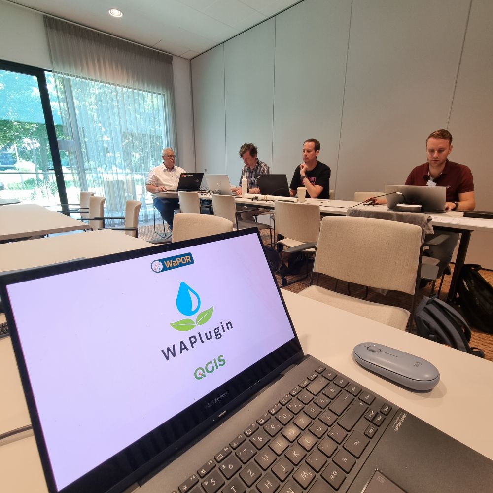
Workshop at FOSS4GNL
Workshop at FOSS4GNL
#QGIS #WaPlugin workshop at #FOSS4GNL in Wageningen. #FAO #WaPOR #waterproductivity #IHEDelft
Follow along at @gisopencourseware.bsky.social
courses.gisopencourseware.org/course/view....
02.07.2025 09:43 — 👍 0 🔁 1 💬 0 📌 0
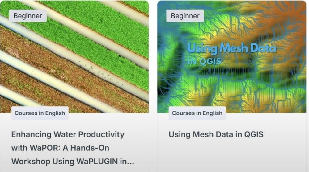
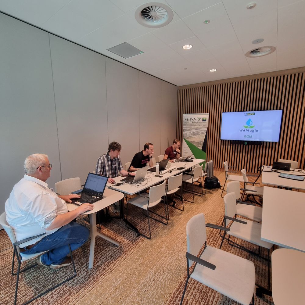
Workshops on WaPlugin and Mesh Data in QGIS
Today at #FOSS4GNL, I'm giving 2 workshops. Follow along at @gisopencourseware.bsky.social:
👉 Enhancing Crop Water Productivity with WaPOR: A Hands-On Workshop Using #WaPlugin in #QGIS: courses.gisopencourseware.org/course/view....
👉Mesh Data in QGIS: courses.gisopencourseware.org/course/view....
02.07.2025 05:40 — 👍 1 🔁 1 💬 0 📌 0
YouTube video by To Open Doors
𝐄𝐧𝐠| I.Talk 31🎙 : 25 Years of GIS|QGIS, innovation & Impact | The Journey of @HansvanderKwast
🎙Last Saturday, I had a great chat with Safae Aala on the To Open Doors I.Talk #podcast about my 25-year GIS journey. We covered #QGIS, #opensource, #education & #innovation.
📺 Check it out here: youtu.be/_qhJezrsK-o
#gischat
30.06.2025 07:08 — 👍 3 🔁 2 💬 0 📌 0
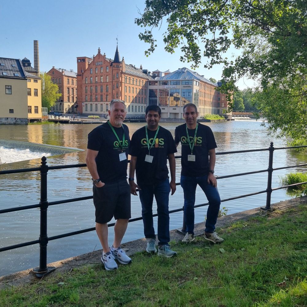
Kurt Menke, Ujaval Gandhi and Hans van der Kwast
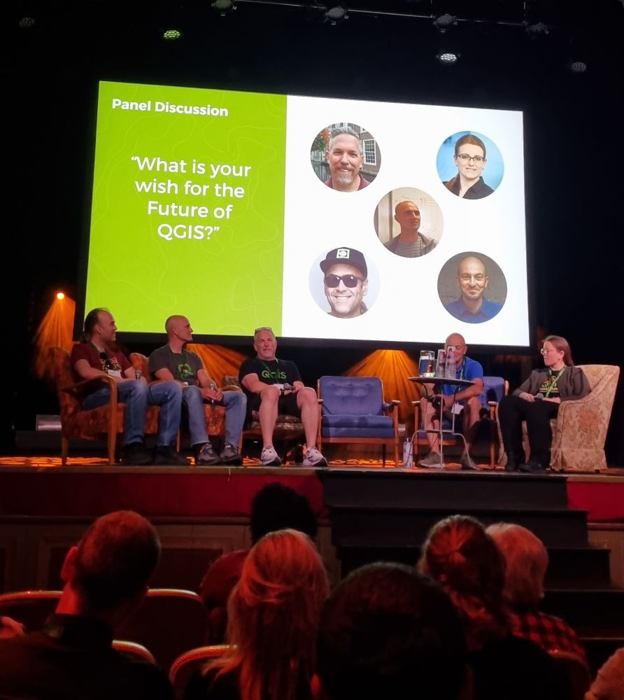
Panel discussion

QGIS Expressions Masterclass with Ujaval Gandhi
Workshop
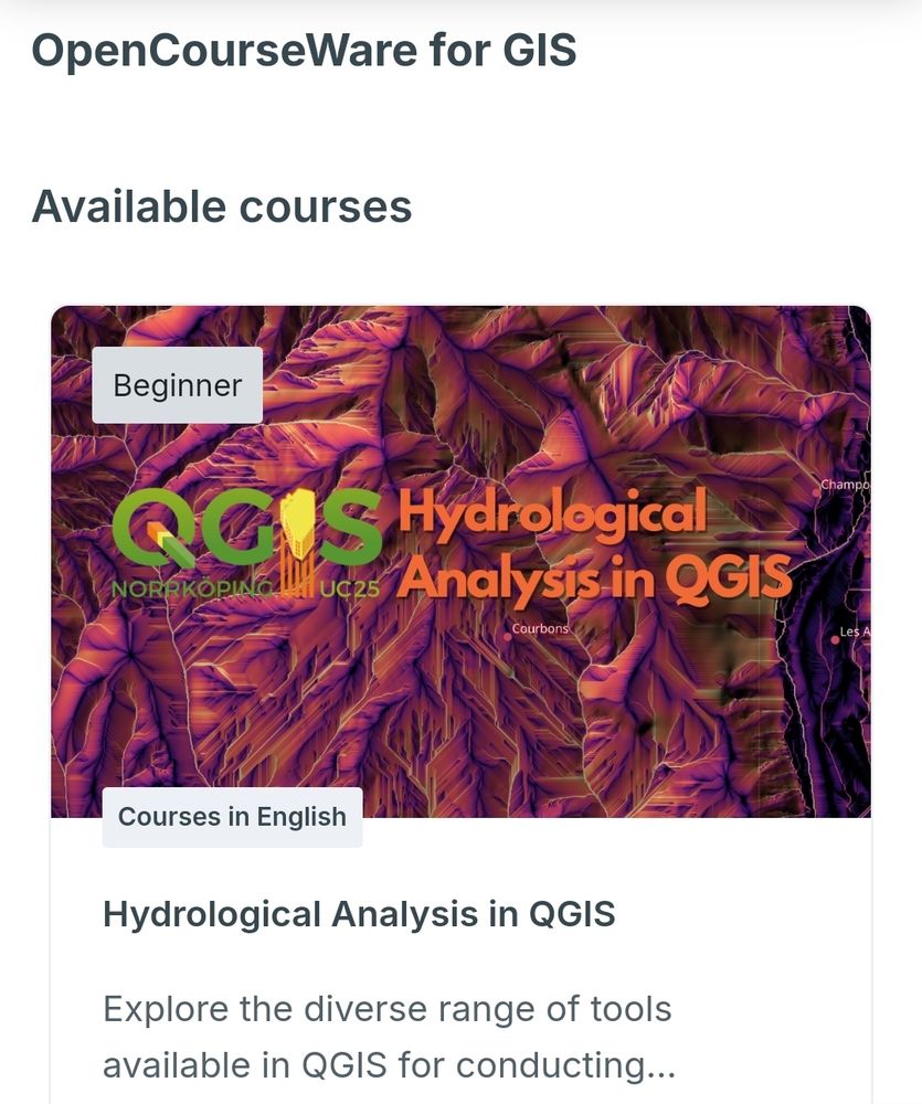
This week, I’m at #qgisuc2025 in Norrköping, Sweden! Inspiring talks, hands-on workshops!
💡Today, I’m giving a workshop on hydrological analysis tools in #QGIS, follow along at @gisopencourseware.bsky.social: courses.gisopencourseware.org/course/view....
04.06.2025 05:07 — 👍 9 🔁 2 💬 0 📌 0
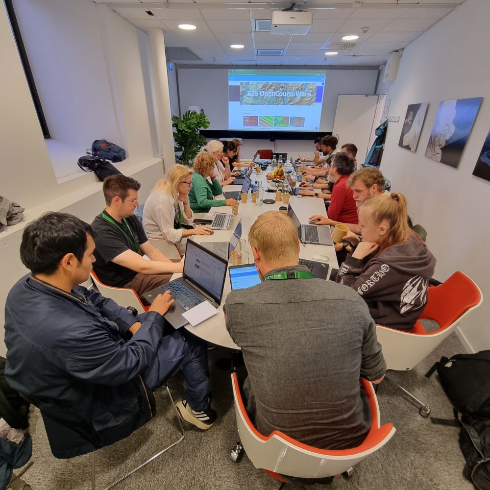
Teaching the workshop Hydrological Analysis in #QGIS at #qgisuc25 in Nörrkoping, Sweden. Follow along for free at @gisopencourseware.bsky.social: courses.gisopencourseware.org/course/view....
04.06.2025 09:30 — 👍 5 🔁 1 💬 0 📌 0
YouTube video by Hans van der Kwast
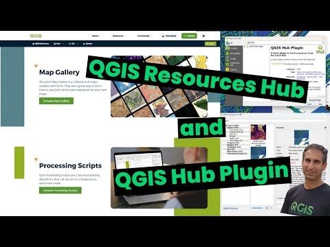
The QGIS Resources Hub and QGIS Hub Plugin
🎥 New video demonstrating the #QGIS Resources Hub portal and plugin: youtu.be/79yFgVLvuZM
Improvements made during #QGISUC25 last week. Thanks to @xpirix.bsky.social, @ismailsunni.bsky.social & Ronit Jadhav!
Looking forward to see more contributions from the QGIS community to the hub!
#gischat
09.06.2025 11:14 — 👍 4 🔁 3 💬 0 📌 0
Rosa Aguilar over de workshop
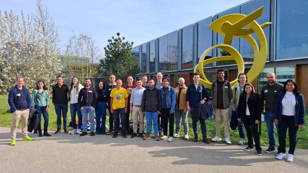
Groepsfoto
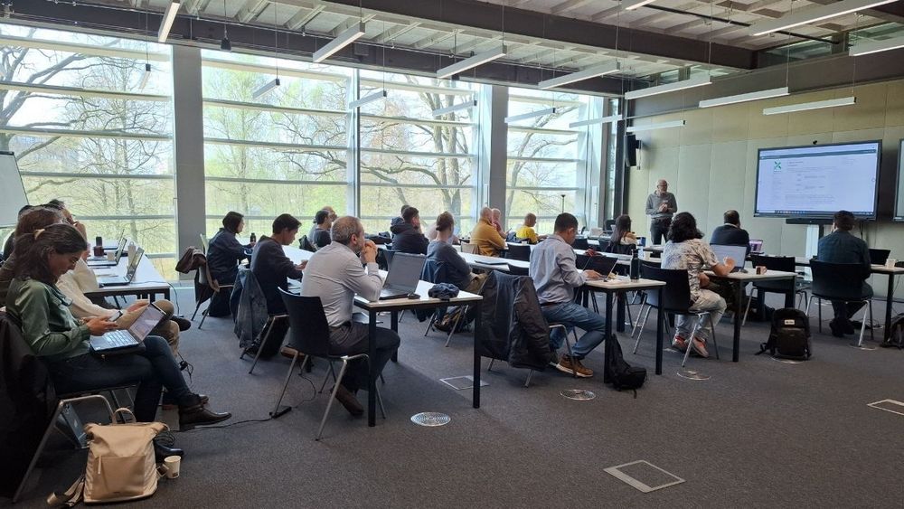
Presentaties
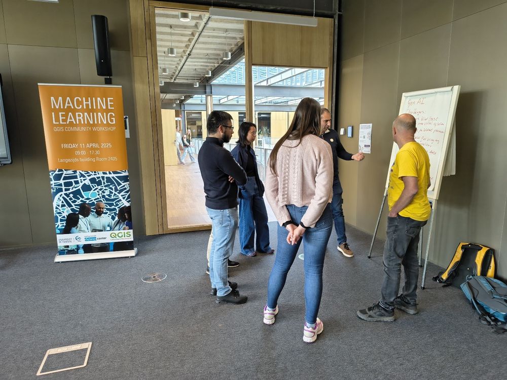
Break-out sessies
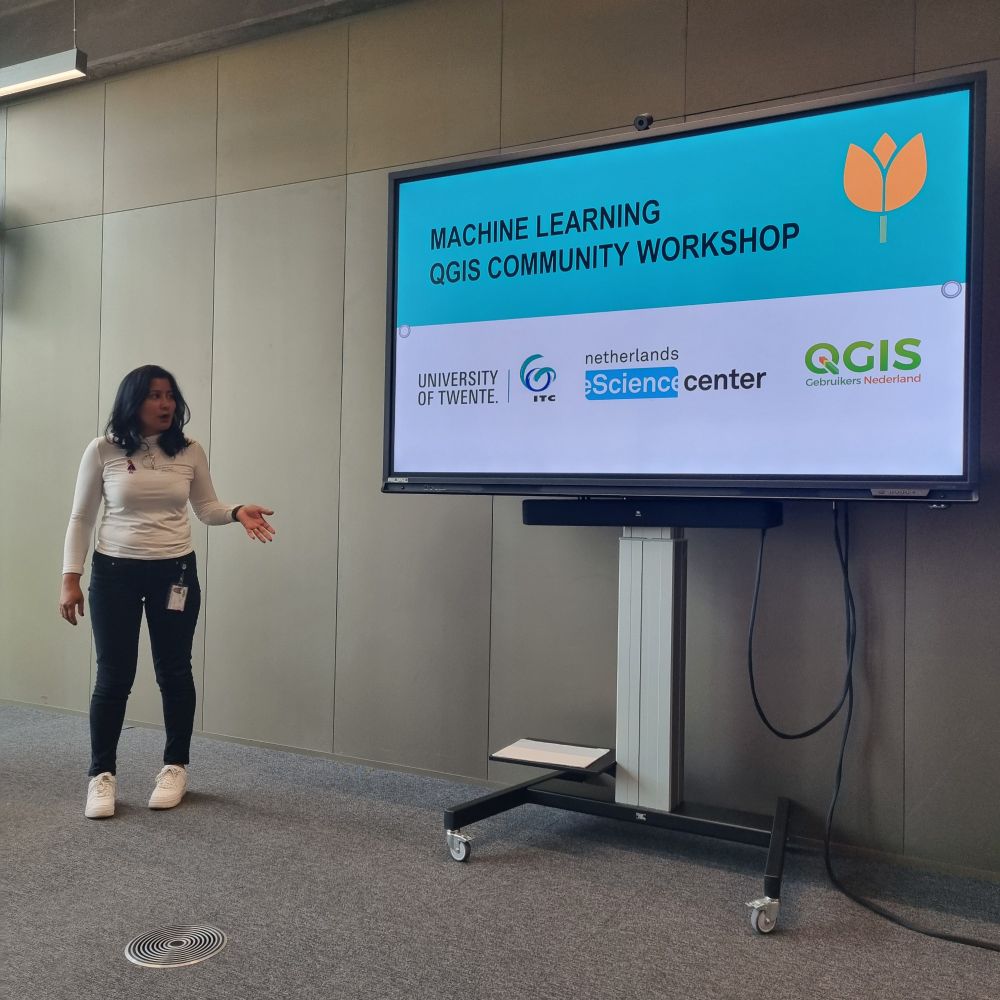
🤖 Afgelopen vrijdag hebben wij bij #ITC @utwente.bsky.social, de toekomst van #AI #MachineLearning en #DeepLearning in #QGIS verkend. Inspirerende presentaties over plugins en tools. Waardevolle discussies en inzichten voor de toekomst van deze technologie in QGIS. @esciencecenter.bsky.social
14.04.2025 06:26 — 👍 4 🔁 2 💬 0 📌 0
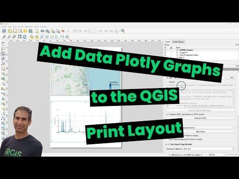
YouTube video by Hans van der Kwast
Add Data Plotly Graphs to the QGIS Print Layout
Create graphs in #QGIS with the #DataPlotly plugin! 📊
Explore 3 ways to add them to the Print Layout in my new video: youtu.be/QD-0jyEn-3I
#GIS #gischat
07.04.2025 06:43 — 👍 2 🔁 1 💬 0 📌 0
Het was een heel interessante dag! Gemist? Mijn workshop kan je hier nog volgen op @gisopencourseware.bsky.social: courses.gisopencourseware.org/course/view....
31.03.2025 13:31 — 👍 1 🔁 1 💬 0 📌 0
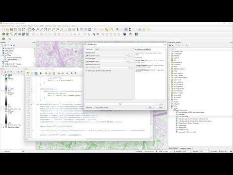
YouTube video by Hans van der Kwast
Add Your Own PCRaster Tools to the QGIS Processing Toolbox
Do you want to learn to create your own QGIS Processing Scripts? Check these resources:
🎥 Watch the tutorial video: youtu.be/DlKBn7vMT4s
📓 Follow the step-by-step guide: courses.gisopencourseware.org/course/secti...
26.03.2025 08:44 — 👍 1 🔁 1 💬 0 📌 0
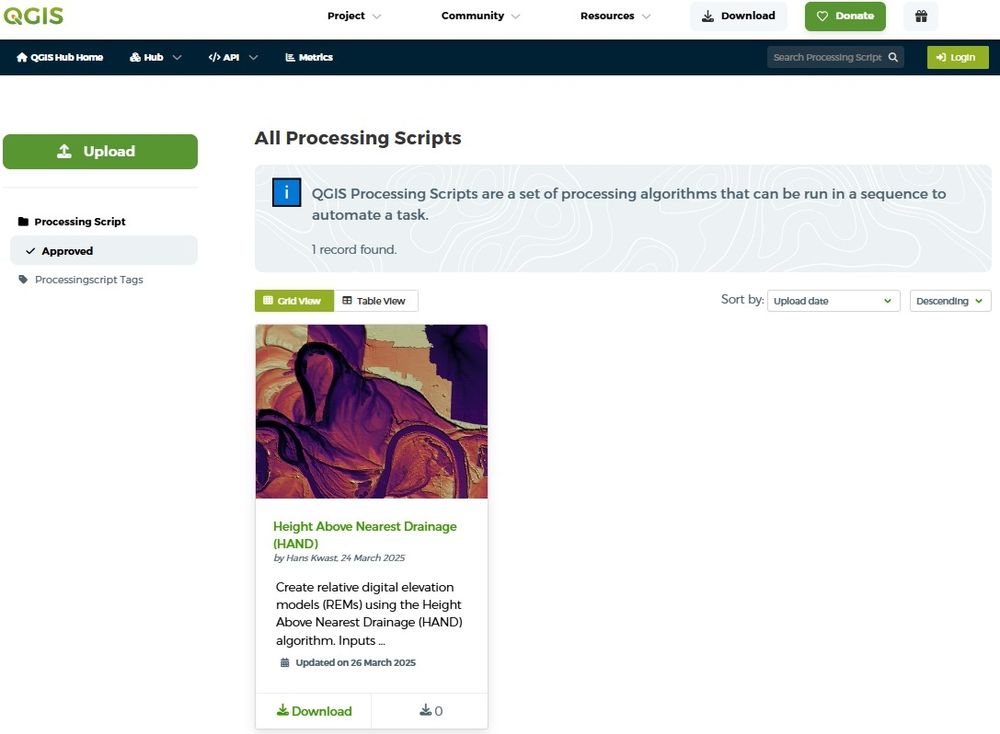
🚀 QGIS Processing Scripts can now be shared via the QGIS Resources Hub!
They’re efficient, lightweight tools for automating tasks in #QGIS, requiring #Python & #PyQGIS skills. Easier to develop than plugins!
💡 Learn more: hub.qgis.org/scripts/
#GIS #gischat
26.03.2025 08:44 — 👍 8 🔁 5 💬 2 📌 0
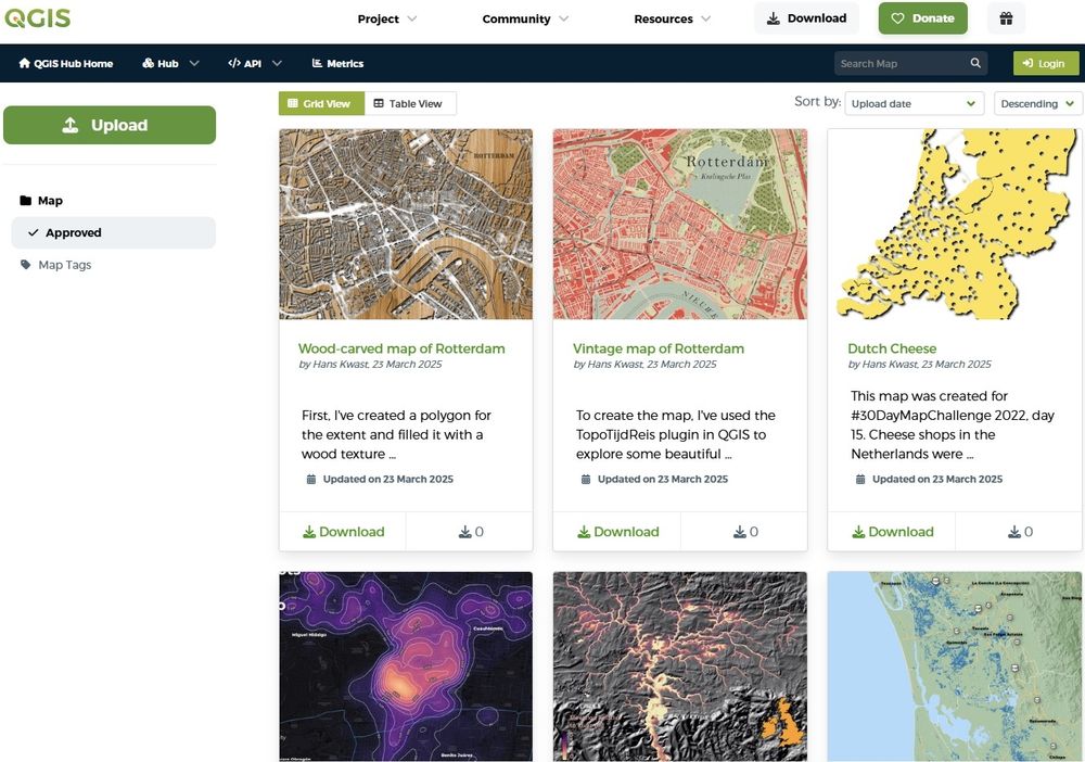
The new QGIS Map Gallery is looking for contributions! 🗺️ Share your #QGIS creations and showcase the power of #mapping with QGIS. I've added some of my maps from #30DayMapChallenge. Check it out: hub.qgis.org/map-gallery/ #GIS #gischat
24.03.2025 07:33 — 👍 25 🔁 10 💬 2 📌 0

Creating a scatterplot based on the values of two raster layers.
I have been playing with the QGIS model designer a bit more. This time, to create a model that I can use to quickly compare how two raster layers by plotting their values in a scatter plot. https://ecodiv.earth/post/raster_scatterplot/ . #QGIS #FOSS #osgeo #datavisualization
22.03.2025 15:26 — 👍 2 🔁 3 💬 2 📌 0
Check out this amazing new point cloud feature in #QGIS! Watch the recording using the same link👇🏼
21.03.2025 17:12 — 👍 0 🔁 1 💬 0 📌 0

Our new #QGIS map gallery is shaping up nicely. Feel free to share your cartography work with us if you are using QGIS to make maps!
hub.qgis.org/map-gallery/
20.03.2025 23:02 — 👍 8 🔁 4 💬 0 📌 0
YouTube video by Hans van der Kwast
Use Jupyter Lab in your QGIS Python Environment
Set up #Jupyter Lab in your #QGIS #Python Environment on Windows!
🎥 My new video shows you how to install it via OSGeo4W, add Python packages, and launch your notebooks. Perfect for classrooms! 📓
Watch here: youtu.be/rjw2YVuVL8c #GIS
21.03.2025 11:49 — 👍 2 🔁 3 💬 0 📌 0

Highlighting course on datavisualisation at GIS OpenCourseWare
Last day of #OpenEducationWeek2025!
Highlighting the course Creating data visualisation with graphs, maps, and animations!
🌡️ Creating Heatmaps
🗺️ Creating Choropleth Maps
🧩 Visualizing Mesh Data
🎞️ Creating Animations
And much more: courses.gisopencourseware.org/course/view....
#QGIS #GIS
07.03.2025 09:32 — 👍 1 🔁 1 💬 0 📌 0

Featuring courses on agriculture for OEWeek 2025
Day 4 of #OpenEducationWeek 2025! Highlighting courses for #agriculture at gisopencourseware.org:
🌾 #QGIS for Precision Agriculture
💧 Enhancing Water Productivity with #WaPOR
🌐 #GEE for Agrohydrological Applications
🚁 Processing Drone Images with #WebODM
📱 Field Surveys with #MerginMaps
#OEWeek2025
06.03.2025 08:56 — 👍 1 🔁 1 💬 0 📌 0

Hydrology courses at GIS OpenCourseWare
Day 3 of #OpenEducationWeek 2025! Highlighting #QGIS courses for #hydrology:
💧Hydrological Analysis with #PCRaster Tools plugin
🔧Programming for Geospatial Hydrological Applications
🏞️Workshop QGIS for Hydrological Applications
📖QGIS Advanced Tutorials
#OpenCourseWare #OEWeek2025 #QGISHydro #GIS
05.03.2025 10:16 — 👍 2 🔁 1 💬 0 📌 0

🌍 Day 2 of #OpenEducationWeek2025! Discover MOOCs on #remotesensing for agricultural #watermanagement by #IHEDelft 🌾💧 Learn to use @fao.org #WaPOR to monitor water productivity & improve sustainability. Courses: #Python for WaPOR, WaPOR Intro, Water Productivity & more!
🔗 ocw.un-ihe.org
#OEWeek25
04.03.2025 17:28 — 👍 0 🔁 1 💬 0 📌 0

Featuring the course Point Cloud Processing with QGIS and PDAL wrench at GIS OpenCourseWare
Celebrate Open Education Week 2025! 🎉
Today's highlight from GIS OpenCourseWare: Point Cloud Processing with QGIS & PDAL Wrench. courses.gisopencourseware.org/course/view....
#OpenEducationWeek #OEWeek2025 #GIS #QGIS #PointCloud #PDAL
03.03.2025 19:41 — 👍 2 🔁 2 💬 0 📌 0

An end to end workflow with QGIS, Mergin Maps and GeoNode
YouTube video by QGIS
Last Friday, @timlinux.bsky.social delivered a brilliant session at the #QGIS Open Day, showcasing the power of open-source #GIS through an integrated workflow with QGIS, #MerginMaps, and #GeoNode. Watch it here: www.youtube.com/live/wgfmGVd...
02.03.2025 07:14 — 👍 2 🔁 1 💬 0 📌 0
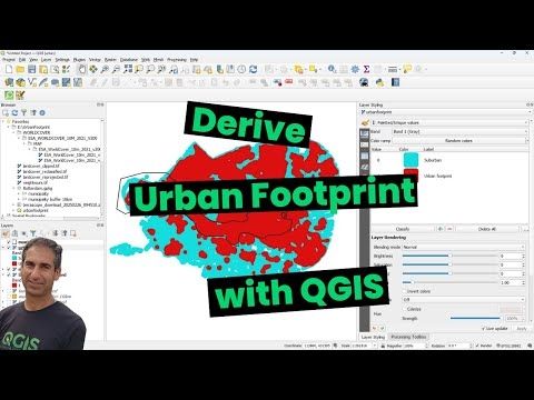
YouTube video by Hans van der Kwast
Derive Urban Footprint with QGIS
New video: use ESA #WorldCover, #OpenStreetMap and #GRASS r.neighbors derive urban footprint with #QGIS. youtu.be/mlvtHdZsMZo
27.02.2025 06:40 — 👍 3 🔁 4 💬 0 📌 0

OSGeo Discourse
A place to discuss OSGeo projects
So apparently the QGIS-us-user list is no more. I fired off an email this morning and it bounced. We are now at discourse.osgeo.org #qgisus #qgis #osgeo
26.02.2025 15:00 — 👍 0 🔁 1 💬 0 📌 0
New Training Video: Importing and Visualizing 3DEP Point Cloud Data with #QGIS https://www.usgs.gov/ngp-user-engagement-office/news/new-training-video-importing-and-visualizing-3dep-point-cloud-data?utm_source=comms&&utm_campaign=news
26.02.2025 18:42 — 👍 0 🔁 1 💬 0 📌 0
Lecturer and researcher with a passion for biodiversity, ecology, and spatial data analysis. Committed to open science and open-source solutions, especially in the geospatial realm.
Danish Resident 🇩🇰 | @SeptimaDK | FOSS4G user/advocate/educator | OsGeo Charter Member | Author: Discover QGIS 3.x 2nd Ed. | Co-author: QGIS for Hydrological Applications 2nd Ed.| Co-author: Collecting Field Data with QGIS & Mergin Maps
she/they
Open Education Services @ Iowa State University
Open access, open education, and all things Open
Follow me on Mastodon: @OpenAccessElder@hcommons.social
gvSIG Association. General Manager. Professional Open Source GIS. GIS consultants. Geo services. gvSIG Suite. Be free. Eppur si muo. e-mail: aanguix@gvsig.com
Geoinformatics. Remote sensing. PostGIS. R/Python. QGIS. Data laundering. https://qgis.es
Academic: Professor at RMIT University, GIScience, spatial algorithms, AI, and databases, ontologies http://gkl.rmit.melbourne
Author: GIS 3e http://gisacp.duckham.org
Me: gender equity, wheelchair user, food, new music
GIS and cartography @EU_eurostat (previously @ignfrance.bsky.social), geographical information, maps, orienteering, bike, nature, Europe, Luxembourg, Marseille, Haut-Doubs
https://jgaffuri.github.io/
Work on open source GIS and sustainability. In my free time I enjoy hanging out with my dogs, camping and running/playing TTRPGs (he/him)
Géomaticien et animateur de @geotribu (http://geotribu.fr), mariages et enterrements. Je travaille à @oslandia mais mes tweets n'engagent que moi et V. Poutine.
GIS, Geospatial and Geodata related news and information. This account is maintained by @michelstuyts.bsky.social
https://geone.ws
https://mastodon.social/@geonews
California Beach Biogeography & Geomorphology, Geospatial Data Science, Cartography, Open Source, UC Davis Library, and definitely some cats.
OSGeo - FOSS4G - #gischat - #maptimeDavis
Geospatial open source @developmentseed.org
https://github.com/gadomski
https://www.gadom.ski/
Runner. Coder. Database hacker. Accidental geographer. Perpetual novice. Chaotic neutral.
Geospatial Data Engineer/Scientist Phd, Technologist, Photographer doing Open Source, Open Data, Open Science. @developmentseed.org
Geospatial Communicator.
Data + Stories for @developmentseed.org
@osmus.bsky.social Board Member
Hiking shenanigans. Desert dweller.
Associate Professor @UTKnoxville | Amazon Scholar | Creator of #geemap & #leafmap | Talk about #Geospatial #GeoPython #DataViz #GIS #FOSS #EarthEngine
CEO @developmentseed.org
Still a big fan of Freedom, but not in a shitty way
@cartonaut elswhere
Map-o-phile / GIS wrangler / M.S. GIS / GISP / mischief / 🗺️ / solvitur ambulando