The 8th ISPRS Geospatial Conference 2025 at the University of Tehran, Iran, December 16, 2025. A research poster titled "Detection and Attribution of Thermal Anomalies in Urban Blocks of Qom Using Time-Series Analysis of TIR Imagery". The visual content includes spatial distribution maps of 22 identified thermal anomalies and LST time-series graphs. The methodology highlights Median Absolute Deviation (MAD) for outlier removal and noise filtering and the Reed-Xiaoli (RX) algorithm for anomaly detection and identifying deviated thermal behaviors.
Stepping out of the forest for a day to apply my Remote Sensing expertise to the urban landscape!
Presented my poster on detecting thermal anomalies using Time-Series analysis at the 8th ISPRS Geospatial Conference 2025.
#RemoteSensing #ISPRS #TimeSeries #LST #ISPRSConference
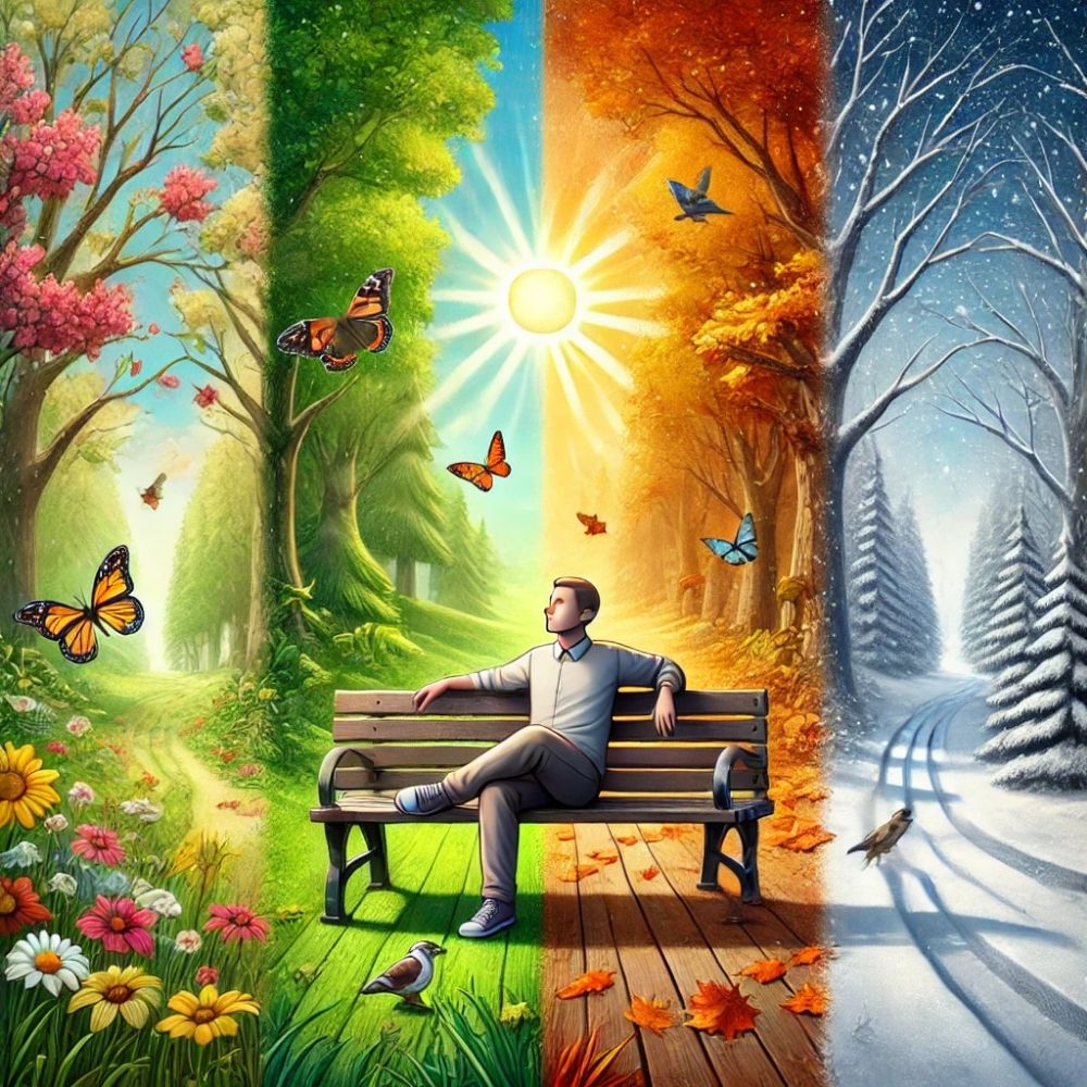
🌐🌍🛰️🍁🌲🔥
19.12.2025 12:31 — 👍 15 🔁 1 💬 0 📌 0

An oak leaf floating on water
17.10.2025 21:01 — 👍 66 🔁 7 💬 3 📌 0
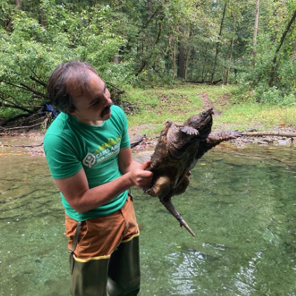
A very fascinating and detailed study on estimating Site Index using mobile laser scanning and deep learning, along with an excellent discussion on the challenges ahead. 🍁 🌳🔥 🌐
#ForestEcology
Thanks to @mariamoan.bsky.social and @hansoleorka.bsky.social and co-authors.
@skogrover.bsky.social
16.10.2025 17:01 — 👍 31 🔁 2 💬 0 📌 0
Comparison of Global Shutter (full sensor exposure) vs. Rolling Shutter (sequential line-by-line exposure).
#Photogrammetry #Imaging #Shutter #UAVphotogrammetry
#3DModeling #RemoteSensing #CameraTech
13.10.2025 02:44 — 👍 9 🔁 0 💬 0 📌 0
No matter what camera you use to capture images, you need to understand how rolling shutter and global shutter work and what sets them apart.
#Photogrammetry #Imaging #Shutter #UAVphotogrammetry
#3DModeling #RemoteSensing #CameraTech
13.10.2025 02:40 — 👍 22 🔁 2 💬 1 📌 1

Flowchart for moving beyond NDVI: Sentinel-2 multispectral data feeds two paths: (a) Generation of NDVI; (b) Calculate EVI coefficients with PSO → Classification with EVI. In parallel, Google Earth imagery → Manual classification (veg/non-veg).
Looking for something better than NDVI as a vegetation index?
Follow the flowchart below.
#RemoteSensing #Vegetationindex #NDVI #EVI #Sentinel2 #Workflow
See more details here👉 doi.org/10.1109/Metr...
27.09.2025 11:25 — 👍 11 🔁 0 💬 0 📌 1
Fantastic work and what a view! It's always great to see meteorological data collection in action. This is precisely the kind of valuable data that helps us understand, analyze, and act on weather conditions.
24.09.2025 20:58 — 👍 2 🔁 1 💬 0 📌 0
I'm glad you found the research interesting. I'd love to hear your thoughts, or the thoughts of others in this field. Do you have any experience with scene-specific tuning of EVI parameters?
24.09.2025 20:47 — 👍 1 🔁 0 💬 1 📌 0

Red: vegetation by tuned EVI but non-vegetation by traditional EVI; Blue: the opposite
We conducted a binary visual comparison of EVI vegetation maps (traditional vs optimized) over a semi-arid mountain site.
#RemoteSensing #EVI #SemiArid #VegetationIndex #Optimization #Binarymap
See more details here👇 doi.org/10.1109/Metr...
24.09.2025 18:22 — 👍 14 🔁 1 💬 0 📌 0

NDVI (left) vs PSO-tuned EVI (right) in semi-arid mountains; the optimized EVI produced a wider vegetation value range, higher variance, and mapped more vegetation pixels than NDVI and the conventional EVI.
Sajad Sayadi
Classic NDVI can be fuzzy over bright soils and sparse canopies. We re-parameterized EVI with PSO for semi-arid mountains on Sentinel-2.
Have you tried scene-specific EVI tuning?
#RemoteSensing #EVI #Vegetation #Indexes #PSO #Sentinel2
See more details here👇 doi.org/10.1109/Metr...
22.09.2025 16:54 — 👍 33 🔁 2 💬 0 📌 3
Promote conservation education, outdoor recreation, and environmental literacy. We serve our members, the Twin Tiers community, and all visitors to our collection of nature preserves. (Border counties of Central New York and Pennsylvania.)
Interested in all the natural world has to offer, with a particular focus on Birds, Moths and Butterflies. Also quite keen on Fungi, Plants, Mammals, Reptiles, Amphibians, Fish and Insects. Did I leave anything out? Supporting #BirdsSeenIn2026
Buy trusted health supplements in Ireland from Bionutrica. Our quality range of premium vitamins for immunity, joints, heart & daily wellness.
🇫🇷 PostDoc @CEBC_ChizeLab working on 🐧movement & energetics - Undercover logger nerd surrounded by birders - he/him
PhD student at CRBE (Toulouse, France) | Researching the biodiversity crisis, macroecological processes, and conservation ecology
https://pierrolaloune.github.io/
#Blockchain #Rustlang
#ClimateJustice #DirectDemocracy #VotingReform #ApprovalVoting #Rust #Dioxus
The manifesto book:
https://iambrainstorming.github.io
Archaeologist at the Institute of Archaeology, Iceland
Fornleifafræðingur hjá Fornleifastofnun Íslands
Post doctoral researcher at University of Texas at Arlington, (USA)
#Hydrology #Statistical_hydrology #Extremes
#rstats #python #Linux #HPC #Ensemble_forecasting
🔗 https://www.linkedin.com/in/nasrin-fathollahzadeh-attar/
Post doc at UNICAMP/Museo Nacional de Ciencias Naturales. PhD Ecology and Conservation. My interests are frogs, data science, macroevolution and macroecology.
Privatdozent (Associate Professor) University of Bonn, Curator at Museum Koenig Bonn, Leibniz Institute for the Analysis of Biodiversity Change @leibnizlib.bsky.social #herpetology #biodiversity #biogeography #conservation #macroecology #ecology
Biological Conservation | Spatial Ecology | Biodiversity | Machine Learning 🌎🐾
Postdoctoral Researcher at Wageningen University & Research | Utrecht University
Assistant Professor in Economics at CREST-ENSAE-IP Paris. CEPR Affiliate.
Development, labor, and environmental economics.
Welcome!
www.fgrosset.com
Ecologist & Researcher | Head of a research think tank/science funder -> iDiv's Synthesis Centre sDiv idiv.de/sdiv | Global Alien Plants glonaf.org | SciCom | TEDx tiny.cc/aliens | Indierock drummer for http://wal.band | avid hiker & nature lover
We are the British Ecological Society Macroecology & Macroevolution Special Interest Group. We run the annual #BESMacro conference and will gladly repost papers and opportunities of interest to our members!
Postdoctoral Researcher 🎓
ECONOVO · Aarhus University 🏛️
Vegetation structure 🌲
Microclimate 🌡️
Macroecology 🌍
Plant diversity 🌿
Rewilding 🐺
Land abandonment 🌾
Urban ecology 🏙️
Remote sensing 🛰️
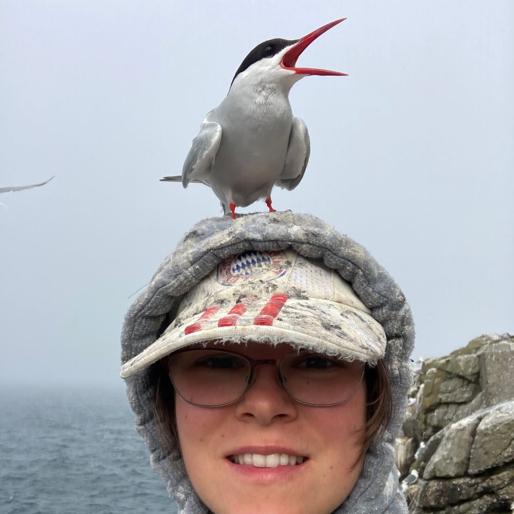
Loves terns and likes all birds. #Conservationist working on Breeding Bird Survey, previously tern conservation and cancer cell migration.
The Society for Tropical Ecology hosting the European Conference of Tropical Ecology 🌍 https://www.soctropecol.eu/
Conference website #ECTE2026 :
https://gtoe2026-passau.de/
Postdoctoral Researcher in Plant Ecophysiology #INRAE
Posts are my own & do not represent the opinions of any entity I am affiliated
piaille.fr/@laureboeglin
linkedin.com/in/laure-boeglin-502471109
orcid.org/0000-0001-9233-2261