Active week of severe weather ahead...
youtu.be/C7VGPXDP5Gg?...

@alansmithwx.bsky.social
Meteorologist & Operations Manager for OpenSnow. B.S. in Meteorology from Metro State University of Denver. Native of Greenville, SC. Main focuses on powder forecasting, mountain weather forecasting, and severe weather forecasting.
Active week of severe weather ahead...
youtu.be/C7VGPXDP5Gg?...

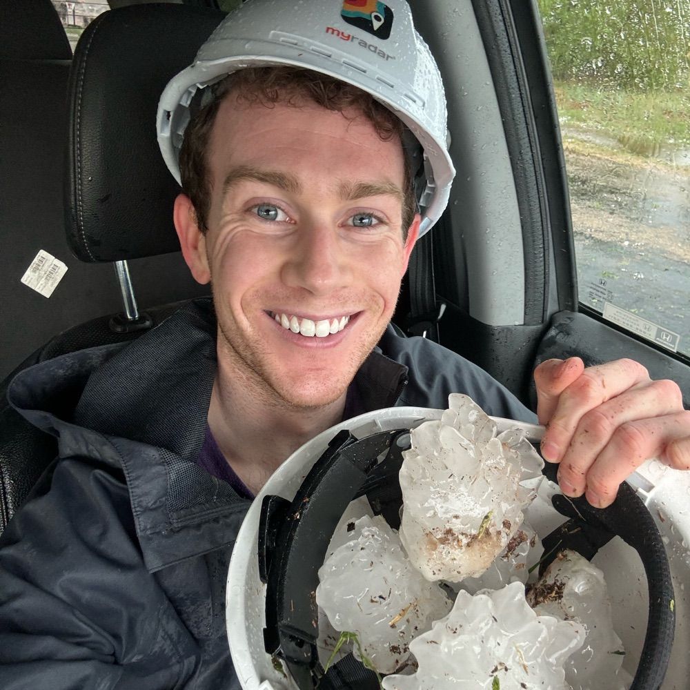
Severe thunderstorms with hail up to golf ball or tennis ball size are possible across Montana & Eastern Wyoming on Friday. Severe wx remains possible through the weekend & next week, with the risk gradually expanding eastward across the Northern Plains.
youtu.be/d51l9oA5A9k?...

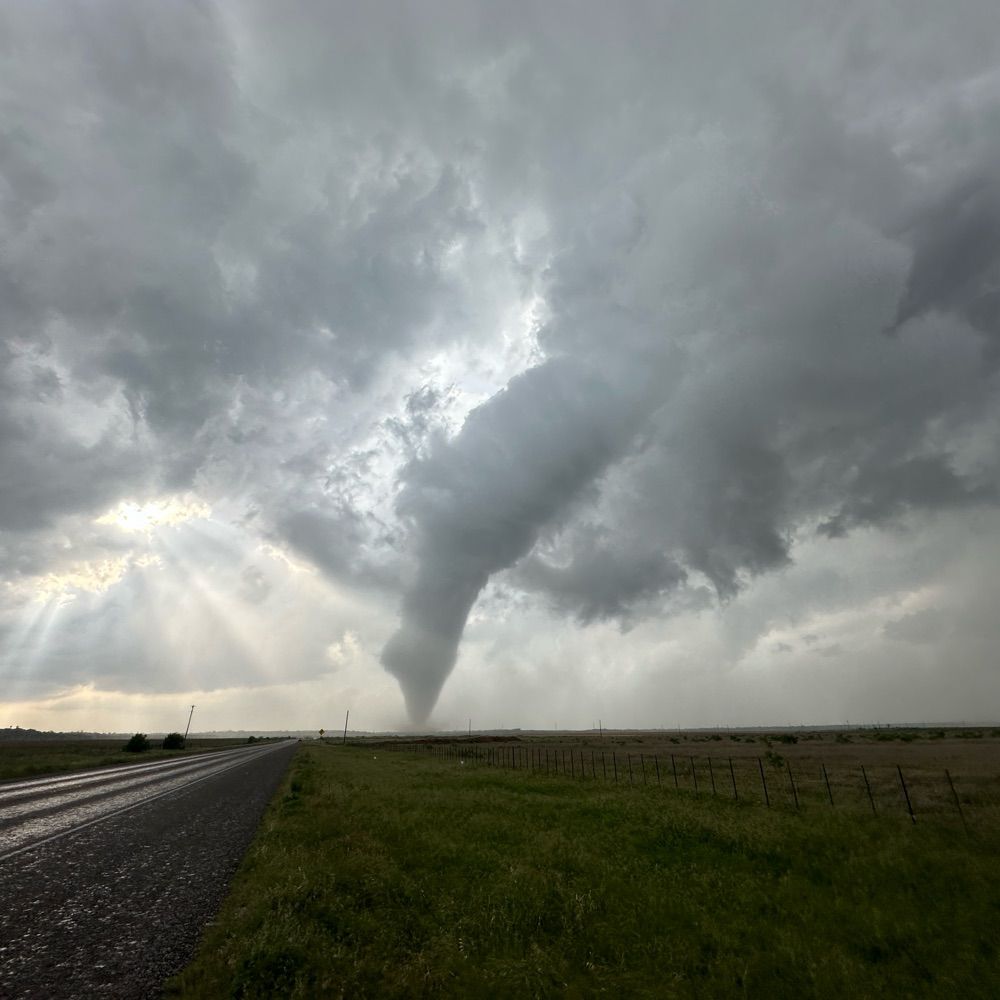
The Northern Rockies will continue to see frequent thunderstorms late this week & over the weekend, with strong to severe thunderstorms east of the Divide in Montana where better moisture & instability will be present.
youtu.be/aCsgJSjlhDA?...

I've started posting 4-7 minute videos for mountain weather and severe weather, which are available on OpenSnow's YouTube channel.
Here is the mountain weather outlook for June 10th-15th...
youtu.be/26klTe3LINU?...

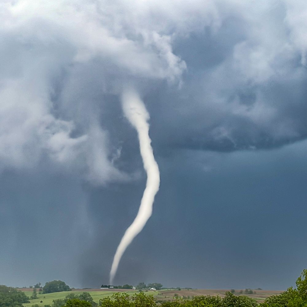
Tornado today north of Akron, CO
24.05.2025 05:11 — 👍 55 🔁 9 💬 0 📌 0
Here is the OpenSnow total snow forecast map from Thursday PM through Saturday PM, based on our internal blend of forecast data from global and high resolution weather models.
13.02.2025 19:45 — 👍 0 🔁 0 💬 0 📌 0Thursday night could be one of those events where Snow King sees just as much snow as Jackson Hole Mtn Resort (& town not far behind). Fri-Sat will feature more orographic forcing with snow totals really adding up over the Tetons & especially at Targhee.
13.02.2025 19:44 — 👍 0 🔁 0 💬 1 📌 0The warmer air aloft will be encountering a preceding cold, arctic airmass. Cold air is denser than warm air, so when this warmer air encounters the cold air, it will rise over the colder air like a ramp, forcing moisture to lift vertically at an accelerated rate, leading to heavier snowfall rates.
13.02.2025 19:43 — 👍 0 🔁 0 💬 1 📌 0

I’m expecting the JH Valley, including the town of Jackson & Snow King, to see heavy snow on Thursday night in addition to the Tetons due to favorable SSW winds to minimize the shadow effect of the Tetons & due to strong synoptic scale forcing by way of warm air advection.
13.02.2025 19:41 — 👍 0 🔁 0 💬 1 📌 0