Map of South Devon's historic railways and industrial tramways, including Plymouth and Exeter.
There's been some big updates for the UK railway map over the past month. South Devon got a complete redraw, with greater accuracy and lots more detail, especially for the industrial tramways. Display more tracks by selecting 'Layers' at top-right.
www.RailMapOnline.com
14.02.2026 11:50 — 👍 4 🔁 0 💬 0 📌 0
Yep, been trying to remove them as I find them.
09.02.2026 07:30 — 👍 1 🔁 0 💬 0 📌 0

Map showing historical railways and industrial tramways around Blackburn and Burnley
Blackburn, Burnley, Accrington, Darwen, Clitheroe, Colne all redrawn. Remember to switch on the "Industry" layer to see extra detail.
railmaponline.com
08.02.2026 11:46 — 👍 4 🔁 0 💬 1 📌 0

Map of historic railways in Glasgow city centre. The Glasgow GPO railway is shown, but what was the actual route, and did it even exist?
Last few updates before the holidays, and included is a placeholder for the Glasgow GPO underground railway (on the 'Industry' layer).
What was the route(s), how did it work, and did it even exist?
www.railmaponline.com
More at registry.gsg.org.uk/sr/sitedetai...
16.12.2025 20:04 — 👍 3 🔁 1 💬 0 📌 0

Map of historic railways around Croydon and Sutton.
A big chunk of South London is updated, covering Croydon, Selhurst, Purley, Sutton, Mitcham and Epsom.
railmaponline.com
13.12.2025 14:03 — 👍 3 🔁 0 💬 0 📌 0

Aerial photo of the The Gloucestershire Aircraft Company Works, Brockworth, 1925. From www.britainfromabove.org.uk/image/EPW014490
The Military Airfields map gets some new entries, including industry airfields, various satellite landing grounds, and support units (bomb dumps, maintenance units, hospitals).
railmaponline.com/airfields
Photo shows Gloucestershire Aircraft Company Works, Brockworth, 1925
23.11.2025 17:17 — 👍 3 🔁 0 💬 0 📌 0

Aerial image of Wolverhampton with historic and modern railways overlaid. Remember to switch-on the additional layers for more detail.
Big update, covering Wolverhampton, Dudley, Wednesbury and Stourbridge. Lots of industry and tramways.
www.railmaponline.com
22.11.2025 10:37 — 👍 2 🔁 0 💬 0 📌 0
Looks like there are intermittent issues with the Google Maps service that powers the UK and US railway maps. I'm trying a few things, but no obvious solution at present.
The North East timeline, UK airfields, UK trolleybus and UK canal maps all seem to be working as normal.
19.11.2025 20:20 — 👍 1 🔁 0 💬 0 📌 0

Map of historic railways around Gravesend, Kent, including industrial tramways and street trams.
Various railway updates, including Gravesend, Maidstone, Tunbridge, Immingham and Walsall. Don't forget to turn on the extra layers.
www.railmaponline.com
08.11.2025 10:27 — 👍 2 🔁 0 💬 0 📌 0

Map of historic railways in Falmouth, Cornwall with detail showing the docks
Updates for Cornwall, including Redruth, Truro, Newquay and Falmouth. Remember to switch on the Industry layer for more detail.
www.RailMapOnline.com
25.10.2025 10:18 — 👍 1 🔁 0 💬 0 📌 0

Map showing historic railways and tramways around Blaenau Ffestiniog, with lots of detail for the various slate quarries. Also shown are the LNWR and GWR lines, plus the Ffestiniog Railway.
Blaenau Ffestiniog is redrawn, with lots of detail for the slate quarries. Make sure to select Layers at top-left and display all the tracks, as most are on the Narrow and Industry layers.
www.RailMapOnline.com
19.10.2025 11:49 — 👍 6 🔁 1 💬 2 📌 1

Map of historic railways around Skinningrove and Loftus, including the steel works and Skinningrove Zig-Zag.
Updates for North Yorkshire, including Whitby, Northallerton, Thirsk and many of the industrial areas around the moors. On the main UK railway map.
railmaponline.com/UKIEMap.php
The NE Timeline map shows how these railways developed, but without the detail.
railmaponline.com/north-east-t...
12.10.2025 09:54 — 👍 3 🔁 1 💬 1 📌 0

Map showing historic railways and stations in Norwich, with modern railways overlaid in red.
Lots of redraws to East Anglia, including Norwich, Felixstowe, Harwich, Lowestoft, Bury St Edmonds and Newmarket.
www.railmaponline.com
05.10.2025 08:47 — 👍 2 🔁 0 💬 0 📌 0

Map of railways and stations covering a large part of North Yorkshire, and shown for the year 1900.
North East Timeline map expanded to cover lines as far south as York, and west to the Settle & Carlisle.
www.RailMapOnline.com/north-east-timeline
28.09.2025 16:11 — 👍 3 🔁 0 💬 0 📌 0

Map showing railways around Stockton in 1841, with stations labelled. A legend is shown to the left of the map. The buttons above the map control the displayed year, and buttons below the map select the legend, closed tracks, open and closed stations, and station labels.
The NE Timeline now has a Legend which adapts with the displayed time, and station labels. Use the buttons below the map to tailor the display.
railmaponline.com/north-east-t...
27.09.2025 13:27 — 👍 1 🔁 0 💬 0 📌 0

Timeline map of the North East's railways, showing a popup for Middleton & Dinsdale station with the station's timeline (changes in name and date of closure).
New North East Timeline map.
Clicking on a station or track displays a history of that feature. Dates are sometimes annotated with "c" (circa), "e" (estimate) or "u" (unknown). Many tracks also include links to other sites.
www.RailMapOnline.com/north-east-timeline
27.09.2025 07:59 — 👍 4 🔁 1 💬 0 📌 0

Map of north east railways, showing the railways in 1825. Buttons at the top of the map let you step through the years, from the first tracks in 1621 to the present day.
North East timeline released for Railway200. Scroll through time to see how railways in the region developed, from 1621 to 1825 to the present day. It's a bit rough round the edges, so I hope to add more updates and features in the future.
www.RailMapOnline.com/north-east-timeline
26.09.2025 19:20 — 👍 1 🔁 0 💬 0 📌 0

Map showing the High Speed 2 route from London to Birmingham
With a lot of HS2 infrastructure now visible on satellite imagery, I've refreshed the HS2 layer to better align with the actual route.
www.RailMapOnline.com
13.09.2025 08:53 — 👍 3 🔁 0 💬 1 📌 0

Map showing historic tram line around Huddersfield.
Ronan emailed a pic of a mystery line at Rastrick, W.Yorks. Nice to find the route on old OS maps and be able to add it to the Huddersfield tram network.
You can see tram lines and more by selecting Layers on the UK railway and the UK trolleybus maps.
www.RailMapOnline.com
17.08.2025 11:55 — 👍 6 🔁 1 💬 0 📌 0

Get Maps
Explore, interact, and download USGS topographic maps free of charge from topoView.
Sanborn maps are a great source of information, but very time consuming to stick together so I don't use them often. Trust you've found the excellent USGS map collection:
ngmdb.usgs.gov/topoview/vie...
Unfortunately, very slow progress on the US map so Indiana is some way off.
07.08.2025 17:46 — 👍 2 🔁 0 💬 1 📌 0

Map of historic railroads around Auburn, California. The Central Pacific is shown in orange, climbing up towards Donner Pass. The Mountain Quarry RR is in light blue, descending to the American River.
Mountain Quarry Railroad added near Auburn, California. Check out the US railroad map.
www.RailMapOnline.com
06.07.2025 12:44 — 👍 3 🔁 1 💬 0 📌 0
YouTube video by London North Eastern Railway
Newcastle to Edinburgh | Real Time Cab Ride in 4K
Join us tomorrow for another watchalong on YouTube! This time we're taking in the view from the driving cab on a journey along the coast between Newcastle and Edinburgh.
🗓️ Sunday 29 June at 12:00
🔗 youtu.be/QlKu40VTcIw
💬 You can discuss the journey with us and other rail fans in live chat too.
28.06.2025 19:12 — 👍 13 🔁 4 💬 0 📌 1

Map of modern railways north of London, including the newly re-opened Bicester to Bletchley line.
The 'Modern Rlys' layer on the UK & Ireland railway map has been updated. This is a copy of the latest OpenStreetMap railway data and shows in-service railway tracks.
railmaponline.com
22.06.2025 12:25 — 👍 7 🔁 1 💬 1 📌 0

Map of historic railways in Hull
Hull redrawn on the railway map.
www.RailMapOnline.com
10.05.2025 10:26 — 👍 1 🔁 0 💬 0 📌 0
On March 1st Google will change their pricing structure. Not sure how this will affect RailMapOnline at present, but this might result in features being lost or maps being temporarily unavailable over the coming weeks. Please bear with me while I try and figure it out.
28.02.2025 17:11 — 👍 1 🔁 0 💬 0 📌 0

Map showing historic railroads across the western USA. Coverage includes Hawaii, Alaska, California, Oregon, Washington, Nevada, Idaho, Arizona, New Mexico, Utah, Colorado, Wyoming, Montana, North Dakota, South Dakota, Nebraska and Texas, plus a few lines in Mexico and Canada.
US railroad map now covers most of the western USA. Don't forget to explore Hawaii and Alaska.
www.railmaponline.com
02.02.2025 12:16 — 👍 2 🔁 1 💬 0 📌 0

Map of historic railroads around Omaha, Nebraska and Council Bluffs, Iowa, including the eastern end of the Union Pacific Railroad.
Nebraska completed. Had hoped to finish this before the end of 2024, but Omaha and Council Bluffs were very difficult to decipher - let me know if you spot any errors.
www.RailMapOnline.com
10.01.2025 19:57 — 👍 2 🔁 0 💬 0 📌 0

Images of the maps available on RailMapOnline; UK & Irish railways, UK & Irish canals, UK trolleybus routes, UK military airfields, and western US railroads.
A big thank you to everyone for your support in 2024. Your amazingly generous donations have kept the website running, and your emails with suggestions and corrections have made all the maps richer and more accurate. Here's to 2025!!
www.RailMapOnline.com
31.12.2024 13:39 — 👍 8 🔁 2 💬 0 📌 0

Map of historic railroads around Hastings, Nebraska, overlaid onto a satellite image background
Southwest Nebraska added to the map.
www.RailMapOnline.com
24.11.2024 19:40 — 👍 6 🔁 0 💬 0 📌 0
I don't include proposed lines until the funding is confirmed and building starts, otherwise I'll be forever adding schemes that never amount to anything. Has the Cambridge leg actually been funded?
19.11.2024 17:24 — 👍 0 🔁 0 💬 1 📌 0
Historian, Archaeologist, and Museum Professional who is also an Organist, Christian Universalist, Rower, Geek. Into Boardgames, Reenactment, Heavy Metal and with a soupcon of Long-Covid.
An organisation set up to protect original features of and promote the first modern Inter-City railway in the world between Liverpool and Manchester.
NE dialect & place names.Coal.Turnips.Kyo's. Jumps down historical & geographical rabbit holes - some very niche indeed. 😉
Very dry sense of humour. From NE, lives SE.
Art of the northern, grim & industrial type usually.
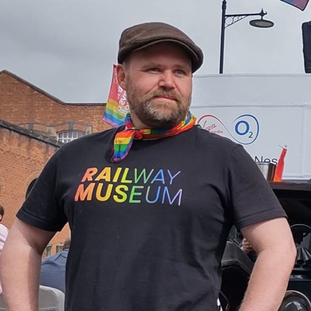
The Welsh Highland Heritage Railway is a democratic member-owned charity that operates a narrow gauge railway and museum in Porthmadog. Russell lives here!
Visit https://www.whr.co.uk/ 🏴👍
Interested in railways, railway modelling, model railroads, travel, rail travel, food, beer.
Used to model 1940s LMS themed OO gauge, now starting again with an O gauge shunting layout, set somewhere in 1970s Nordrhein-Westfalen.
Editor of Today's Railways Europe, amateur photographer, occasional railway and aircraft modeller. Views expressed here are my own.
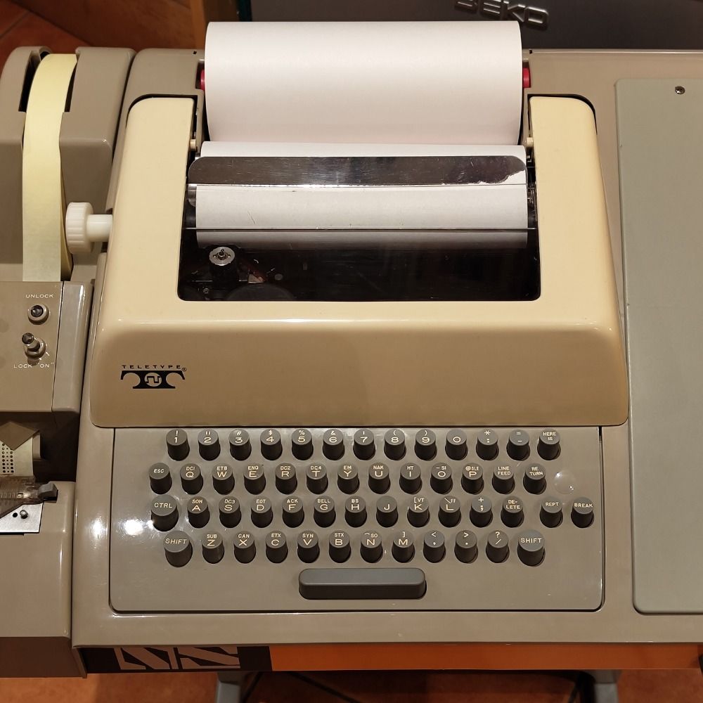
Collector & repairer of vintage computers and the odd typewriter.
Was @Devilish_Design over on the bird site.
Warning! This profile might contain images of exploded RIFA capacitors!
Publishers of printed and digital rail timetables and maps for Europe & beyond. Account not always monitored, please use our website to contact us. www.europeanrailtimetable.eu
✒️ Photographer & Graphic Designer
📸 Landscapes | Nature
📍 Ontario, Canada 🇨🇦
🎧 No politics, just photography
💻 linktr.ee/chrisnoronhaphoto
Mushroom Lover + Grower - Gardener - Nature Nut - Dog + Cat Lover - Retired - Mother - Wife - Foodie
Sharing my forest adventure's and the wonderful world of fungi.
All photo's are my own.
Mid Western Ontario
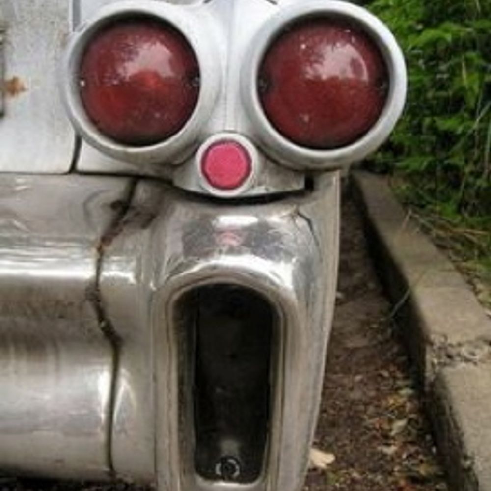
#quirky #car & #automotive #design, history & #images http://quirkyrides.com #Cars #wheels #odd. Diagonally parked in a parallel universe 🚗🏎️🚓 Big on X, new to Bluesky
Lead presenter at Click. The BBC's longest serving tech presenter and journalist. Newsletter spencerkelly.substack.com - also http://instagram.com/spenleykelly - hi!
Funimag, the web magazine about #funicular #funiculaire #funicolare #standseilbahn #funikulaari #ケーブルカー #Фуникулёр #TransporterBridge #railways #mobility #cyclism & 🐱🐿🚆✈️🍷📷
Paris, France 👉 https://linktr.ee/funimag
exploring and documenting the North East, one brick at a time (among other things) / this weeks focus: North Tyneside
northeastheritagelibrary.co.uk / linktr.ee/nehl
Hello! I'm Lucy, I'm a historian, I write books like biographies of Agatha Christie and present a VERY GOOD @BBCSounds podcast called #LadyKillers. For ages I was Chief Curator of Historic Royal Palaces, now an Ambassador for the charity.
Welcome to the 'Railway Work, Life & Death' project, collaboratively researching British & Irish railway staff accidents pre-1939. Posts by Mike Esbester.
#RailwayHistory #TransportHistory #MobilityHistory #Railway200
www.railwayaccidents.port.ac.uk
Rail Enthusiast 🚂 | Opinions are strictly my Personal views ✋ | PEP Connoisseur 😏| Work in the Rail Industry 😎| OGs know the original acronym 🫡|
Railway engineer and author of HOW THE RAILWAYS WILL FIX THE FUTURE (https://bit.ly/HowTheRailways). Hosts @railnatter.uk. Chairs Yorkshire PWI and NEREF. Co-founder of the Campaign for Level Boarding. He/him.
Mark Smith, the Man in Seat 61, the chap who runs that train travel site http://seat61.com. YouTube: http://youtube.com/c/seat61.