GoBike have posted for the first time in a while. Hopefully more to follow…
04.02.2026 22:39 — 👍 0 🔁 0 💬 0 📌 0
Very speedy - had brakes on so I didn’t go into the back of someone! Heavy bikes but smooth once motor kicks in.
31.01.2026 22:20 — 👍 1 🔁 0 💬 0 📌 0

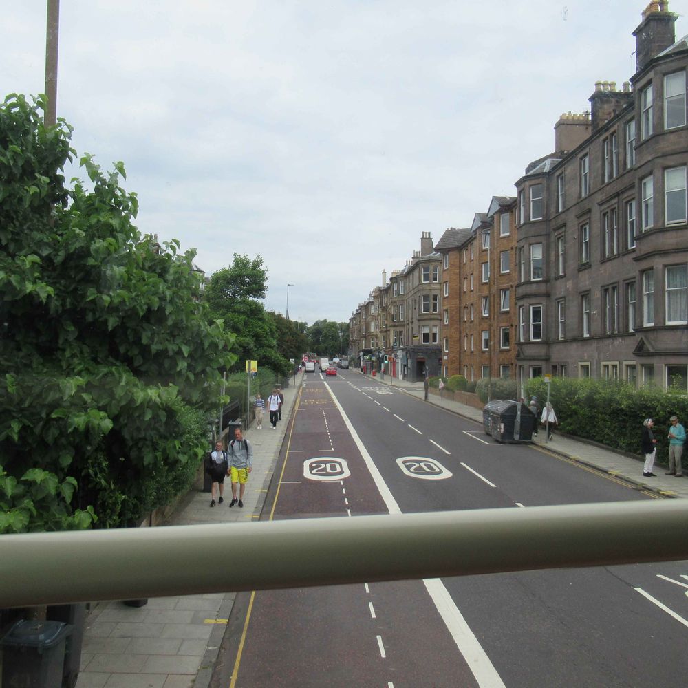
Critical Mass ride on George St, Edinburgh

Critical Mass stopped at lights near the Scott monument

Critical Mass ride at Royal Mile

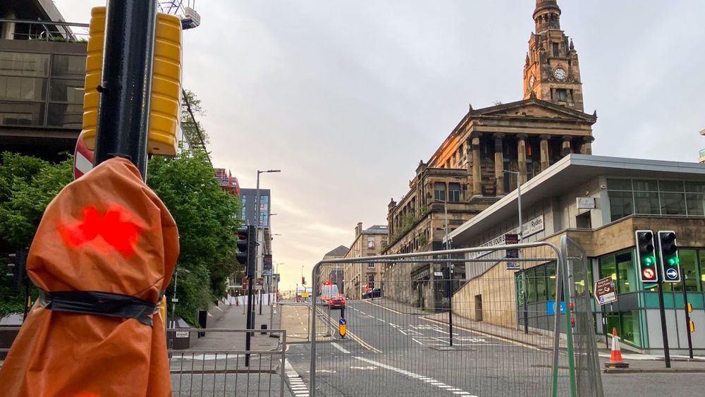
End of Critical Mass ride around Teviot Place, Edinburgh
Just made it to Critical Mass - on #Voi hire bike this time. Shorter ride in city centre - busy but stayed dry. Played Scottish playlist since it was near Burns night. Liked blasting Teenage Fanclub at St Andrews Square! @edcriticalmass.bsky.social
31.01.2026 18:27 — 👍 18 🔁 3 💬 1 📌 0
Young Scot is a card given to every child in Scotland. It already got them discounts in shops and attractions - just extended that to buses.
29.01.2026 20:56 — 👍 1 🔁 0 💬 1 📌 0

A large group of people, including children, on bikes of all sizes cycle through a green space. The text reads: Pedal on Parliament - Save the date: 30th May 2026, 11.30am - #PoP26 - Meadows to Holyrood on closed roads,
for a cycle-friendly Scotland
We’re back - Save the Date! In 2026 we Pedal on Parliament for a cycle-friendly Scotland, on Sat 30th May at 11.30am - Middle Meadow Walk to Holyrood, Edinburgh on closed roads.
#ThisMachineFightsClimateChange #pop26
23.01.2026 09:55 — 👍 45 🔁 47 💬 0 📌 6
Minor point in the scheme of what’s happening but thought this was interesting about protestors and public transport: bsky.app/profile/czbi...
24.01.2026 13:25 — 👍 0 🔁 0 💬 0 📌 0
It is a shocking photo but I agree it’s important to see. Especially as it seems to contradict headline. Article should say ‘car driven into woman on pavement’
24.01.2026 10:43 — 👍 2 🔁 0 💬 0 📌 0
YouTube video by Scotch Bonnet Records
Mungo's Hi Fi - Bike Rider Ft Pupajim
Mungo’s Hi-fi from Glasgow…
youtu.be/4oUxPWnrXNk?...
22.01.2026 21:01 — 👍 5 🔁 1 💬 1 📌 0
Thornwood Roundabout and National Cycle Network Route 7 Project - Glasgow City Council
Information on consultation for Thornwood Roundabout and National Cycle Network Route 7 Project.
Thanks for view of lights and Stobcross Rd - maybe an option if it’s not used by Clyde Metro. Current plans would at least be safer: glasgow.gov.uk/article/1415.... You covered the ground out to Renfrewshire! Worth going east next time - Duke St and most Avenues should be done for Commonwealth Games
03.01.2026 17:40 — 👍 1 🔁 0 💬 1 📌 0

Screenshot of error message on Edinburgh Hogmanay website
Not sure if streaming is working for First Footin gigs…?
01.01.2026 15:52 — 👍 0 🔁 0 💬 0 📌 0

Multicoloured Cyclehoop bike hangar at old Tam Shepherds shop on Queen St, Glasgow
Harsh way to learn to lock the frame not the wheel. Also, metres away from secure bike parking for £1 (Trips: cyclehoop.rentals/types/short-... in case it helps anyone else). 🫣
30.12.2025 11:52 — 👍 6 🔁 0 💬 0 📌 0
I also wonder why UK doesn’t make more of tidal. There’s been plenty of time to expand from successful pilot projects… #Orkney
bsky.app/profile/dash...
29.12.2025 21:35 — 👍 4 🔁 0 💬 0 📌 0
True about 1st tramline - City of Edinburgh Councillors played politics with it. But Transport Scotland took over extension to Newhaven and it was on time/budget. CEC’s preferred option for North-south line would take over #Roseburn shared path - will cost billions and be fought tooth and nail.
22.12.2025 13:50 — 👍 1 🔁 0 💬 1 📌 0
In my Board I’ve helped get secure bike parking at nearly 20 sites. Usage varies - knobbled by lack of cycling infra to get to them. Also, rail infra issue with one acute hospital linked to Glasgow but not to rest of county where patients come from! No solutions in Clyde Metro plans either…
22.12.2025 10:08 — 👍 1 🔁 0 💬 0 📌 0
…and Roseburn path/Dean bridge issues. Glasgow has four main hospitals - only Gartnavel is next to train station. Clyde Metro due to link to QEUH and maybe Stobhill. Years away but might still beat Edinburgh N-S tram?
22.12.2025 10:03 — 👍 2 🔁 0 💬 1 📌 0
“sovereignty will remain what it has become: a word we invoke when convenient, and abandon when tested.” David Tyler
Relevant quote for many more failures in the Anglo world than just Australian intelligence…
17.12.2025 14:04 — 👍 4 🔁 0 💬 0 📌 0
Best ‘Brit holiday rep gone native’ vibes since Jamie off Eastenders
13.12.2025 20:16 — 👍 0 🔁 0 💬 0 📌 0
ArcGIS Web Application
Sorry, forgot you did King St last time. A bit further east is wee Melbourne St lane, off Duke St (due to link that route to future active travel hub/park). Langside Rd was recently kerbed + construction towards Battlefield Rd. Wider GCC map: glasgowgis.maps.arcgis.com/apps/webappv...
10.12.2025 22:37 — 👍 1 🔁 0 💬 2 📌 0
Sustainable Transport Projects - Glasgow City Council
Information and guidance on projects in development and construction, expansion of cycle route networks and associated infrastructure.
As @chrisplavelle.bsky.social says a lot of roadworks in city centre. Most due to finish in Spring ahead of Commonwealth Games (except George Sq, sadly). Further out there’s NE Active Travel Routes at Wallacewell Rd/Stobhill. Further info: www.glasgow.gov.uk/article/3947...
10.12.2025 21:39 — 👍 2 🔁 0 💬 1 📌 0
The Avenues - Glasgow City Council
Maps, plans and visuals for the Avenues..
City centre: St George’s Rd (southern bit - north still under construction), Cambridge St, Pitt St, George V bridge, Sauchiehall St precinct (eastern end - shared but useful link). Maybe King St (at end of S City Way) if you haven’t seen it. A few links might help: www.glasgow.gov.uk/article/1180...
10.12.2025 21:07 — 👍 3 🔁 0 💬 2 📌 0

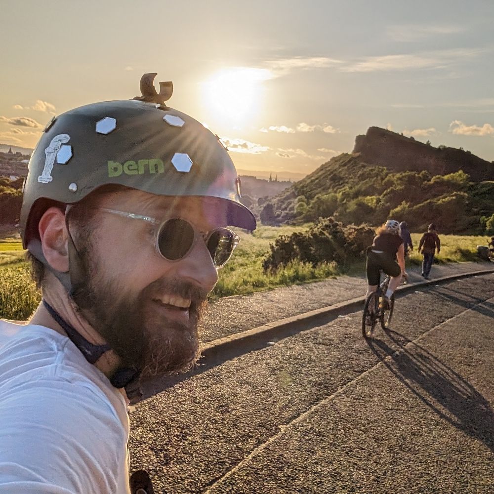
Punching the air on Canongate, Edinburgh

Riding past the Scottish Parliament towards Holyrood Park

Waiting at lights on Earl Grey St, Edinburgh

Gathered at the Causey at the end of the ride
Last Critical Mass of 2025. Shorter city centre route - rough figure of 8 loop over and under South Bridge. Stayed dry - a bit chilly so thanks to #TheCausey for hot drink! @edcriticalmass.bsky.social
30.11.2025 11:18 — 👍 9 🔁 1 💬 0 📌 0
Front door?
22.11.2025 19:19 — 👍 0 🔁 0 💬 0 📌 0
Interesting article and building. Looks great at front/back but more forbidding at sides. Curve made me think of an 80s tenement - Shakespeare St, Maryhill, Glasgow: blogs.ed.ac.uk/docomomoiscu... Some new HA builds have blocks with courtyards and a few pends (Slatefield St/Whitevale) but no curves…
22.11.2025 12:07 — 👍 1 🔁 1 💬 0 📌 0
Our version of “look at his face, just look at his face!”!?
18.11.2025 22:09 — 👍 3 🔁 0 💬 0 📌 0

Ellen’s Glen Road - restored wall and pavement with fences removed and bollards reinstated
Ellen’s Glen - a few years after the trees were cut down and umpteen years since the bank collapsed… the wall is reinstated and fences are away! 🎉 Bollards back in too. Bittersweet for us - a certain someone would’ve loved extra wheeling room but been annoyed at no fences to shake. 🥺 @spokes.org.uk
16.11.2025 11:50 — 👍 6 🔁 0 💬 0 📌 0
Glasgow infrastructure update, Summer 2025
In case anyone else has been losing track of all the construction projects going on just now… Glasgow City Council put out an Avenues Programme Progress Report (PDF) in April 2025. However, a …
Glasgow had about 10 city centre Avenues projects under construction over the summer. Partly due to hosting Commonwealth Games 2026. A few more routes going in the West End and one in the East End too. But long term plans for wider City Network hitting serious issues. www.gobike.org/glasgow-infr...
03.11.2025 22:24 — 👍 3 🔁 0 💬 0 📌 0

StreetView of St Mary’s Primary School on A6094 Polton St, Bonnyrigg
Awful that any primary school might need Hostile Vehicle Mitigation bollards. Even worse if they don’t get anything. I’d bet on speed cushions for Polton St - usual council response…
31.10.2025 17:11 — 👍 1 🔁 0 💬 1 📌 0
Chilling online. I write a newsletter called Garbage Day.
For a Scottish Socialist Republic
Sometimes write for @bellacaledonia.bsky.social
#AutisticLiberation
Anwar Shaikh stan account
Also found at https://mastodon.scot/@moh_kohn
he/him
Looking out for Edinburgh's bus passengers and services. Independent of operators, Councils, Government, political parties etc.
Website https://edinburghbususers.group/
Associate Audio Director at R*, sound designer, cyclist, QA veteran, player of games, cinephile, etc. Any opinions are mine, and mine alone. Sounds good > clever
Comedy writer & actor. Doctor Who, Tracey Ullman’s Show, Beyond a Steel Sky, Justin’s House, Bravest Warriors, Horrible Histories
linktr.ee/gemmaarrowsmith
I have my own museum, I'm a Very Serious Artist.
Commissions open. If I see that you use AI “art,” you get blocked.
Support my work:
🎨 https://patreon.com/emilyk
👉🏼One time donations: https://ko-fi.com/artbyemilyk
Climate-anxious & car-free Mum. Community development, safe streets, green transport, waste as a resource, sustainable construction. Glasgow. #stillyes
Armchair phrenologist. Self-certified body language expert. MENSA member. Former Never-Ending Pasta Pass Owner. Intellectual. Gifted kid —> Gifted adult. RIP Seattle Sea Dragons. Vai Corinthians. Bluesky’s premier Seven Mary Three poster.
A career spent in government affairs & media. Now an interested eye on the news. Not always balanced; there aren’t two sides to fascism.
Now on TikTok 👉 https://www.tiktok.com/@news_eye?_t=ZN-8zwNc7WZeII&_r=1
Please use ALT text :-)
We’re back! In 2026 we Pedal on Parliament for a cycle-friendly Scotland, on Sat 30th May at 11.30am - Middle Meadow Walk to Holyrood, Edinburgh on closed roads.
#ThisMachineFightsClimateChange #pop26
News for the 99%. ON-THE-GROUND and investigative reporting on the stories corporate media COVERS UP | https://statuscoup.com/join
I do standup and also write all manner of things. At the moment I'm very much doing this: @murderbastard.bsky.social
Saint Paul City Council Member for Ward Four.
Executive Director, People’s Parity Project & PPP Action.
Mayor of SIZZLETOWN sizzletownpodcast.com | ARSELESS CHAPS album viciousthreads.shop | CHAPS at ADELAIDE FRINGE https://tinyurl.com/394sa8nm | FROM THE HIDEOUT linktr.ee/fromthehideout | AUDIOBOOKS etc https://mrtonymartin.bandcamp.com/
Professor, journalist, political analyst, cynical optimist —- Public speaker via London Speakers Bureau
🇪🇪 Estonian blogger focusing on Russia/Ukraine | 18+ version: https://t.me/wartranslated | Glory to #Ukraine!
WHOA Lansi | Passionate | Foodophile | Wanderlust ✈️🚈🚗🚲| Extrovert | Accidental Urbanist | Urban Arrow Cargo Bike Family | Wife to #nadeboer | Mom to Odin, Annika, & Everly | Bilingue - Francais-Anglais | Communication Strategist by day
GP/ UK General Practice. Devon. Uncertainty..transience..evidence, chaos, knowledge and (Rawl’s) ignorance to make the world better…Cycling/ active transport/ the environment; People; Kindness, community- spelling mistake -s deliberate punctuation crime
Professional Volunteer
Posting about: 🚲 | ☕️ | 🌾 | 🌍 |🕹| 🎒
🏡: 🧀 ➡️ 🇯🇵 ➡️ 🏴 ➡️ 🏴
Wisco Emigrant | Scottish Immigrant | Leither
Zen and the Art of Things Not Zen.
Person who rides a bike.
Posts mainly what’s in my head. #Nottingham
#Cycling #urbanism #Sustainability. Taker of photos.