This is a very clear statement from the Union of Concerned Scientists describing why NCAR must not be restructured, dispersed, and broken up.
29.01.2026 00:55 — 👍 2 🔁 1 💬 0 📌 0
@fishocean.bsky.social
Fisheries oceanographer (retired, NOAA Southwest Fisheries Science Center). Led the NOAA CalCOFI program for 11 years (2007-2011) prior to returning to New Zealand. Developer of Fishing Maps (www.fishingmaps.info).
This is a very clear statement from the Union of Concerned Scientists describing why NCAR must not be restructured, dispersed, and broken up.
29.01.2026 00:55 — 👍 2 🔁 1 💬 0 📌 0


SST, fronts, currents and chlorophyll maps available daily for gamefishing Costa Rica.
#sportfishing #gamefishing #fishingcostarica #yellowfin #marlin


Interpreting satellite maps for gamefishing involves looking for consistent patterns in SST, fronts, currents and chlorophyll (when available) over several days. Selecting the frontal zones is made easier by using the SST frontal gradient maps.
#gamefishing #biggamefishing #yellowfin #marlin

Senate boosts funding for NASA, NOAA, and NSF beyond Trump's request, emphasizing science and research investment.
16.01.2026 00:24 — 👍 84 🔁 29 💬 4 📌 5


Nothing like a few sunny days in New Zealand to bring out the chlorophyll in Fishing Maps.
www.fishingmaps.info
#oceanography #fisheries #sportfishing #marlin #tuna
#gamefishing #fishing #offshorefishing #sportfishing #marlin #tuna #biggamefishing #marlinfishing #deepseafishing #fishingaustralia #catchandrelease #tunafishing #sportsfishing
08.01.2026 06:00 — 👍 0 🔁 0 💬 0 📌 0
Are single pass Sea Surface Temperature (SST) images the best way to detect fronts for gamefishing? Checkout the new blog on the Fishing Maps (zurl.co/zlvlj) website.
zurl.co/9DtXs
#gamefishing #fishing #offshorefishing #sportfishing #marlin #tuna #biggamefishing #marlinfishing #deepseafishing #fishingaustralia #catchandrelease #tunafishing #sportsfishing
07.01.2026 08:56 — 👍 0 🔁 0 💬 0 📌 0Although the fronts are weak, the combined maps suggest the 200 metre contour would be a favourable area for gamefish to find feed.
Maps by Fishing Maps (www.fishingmaps.info)
Chlorophyll levels fall off around the 200 metre mark, and there is a consistent southward current in the 100 to 200 metre depth zone off Whitianga.
07.01.2026 08:55 — 👍 0 🔁 0 💬 1 📌 0


Consistent patterns in the sea surface temperature, currents, and chlorophyll create the structure that allows plankton concentrations to develop over several days. In this example off Tutukaka, New Zealand, over a 4 day period, SST is cool inshore of the 100 metre line.
07.01.2026 08:55 — 👍 1 🔁 0 💬 1 📌 0#gamefishing #fishing #offshorefishing #sportfishing #marlin #tuna #biggamefishing #marlinfishing #deepseafishing #fishingaustralia #catchandrelease #tunafishing #sportsfishing
03.01.2026 04:05 — 👍 0 🔁 0 💬 0 📌 0
Yellowfin tuna are back in New Zealand and the summer recreational gamefishing is going off. What's going on?
zurl.co/qs0oh

Which level 2 SWOT product is this Lily? Are you accessing the files from PO-DAAC? I think it's time for me to see if I can use these data for my Fishing Maps product (www.fishingmaps.info) instead of, or in addition to, the 8km resolution Copernicus product that I currently use.
29.12.2025 20:02 — 👍 1 🔁 0 💬 1 📌 0
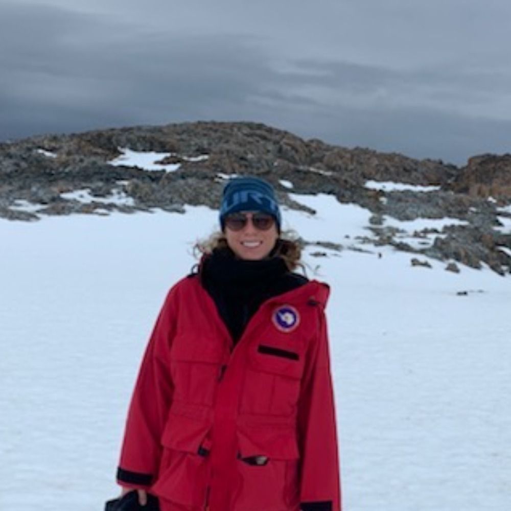
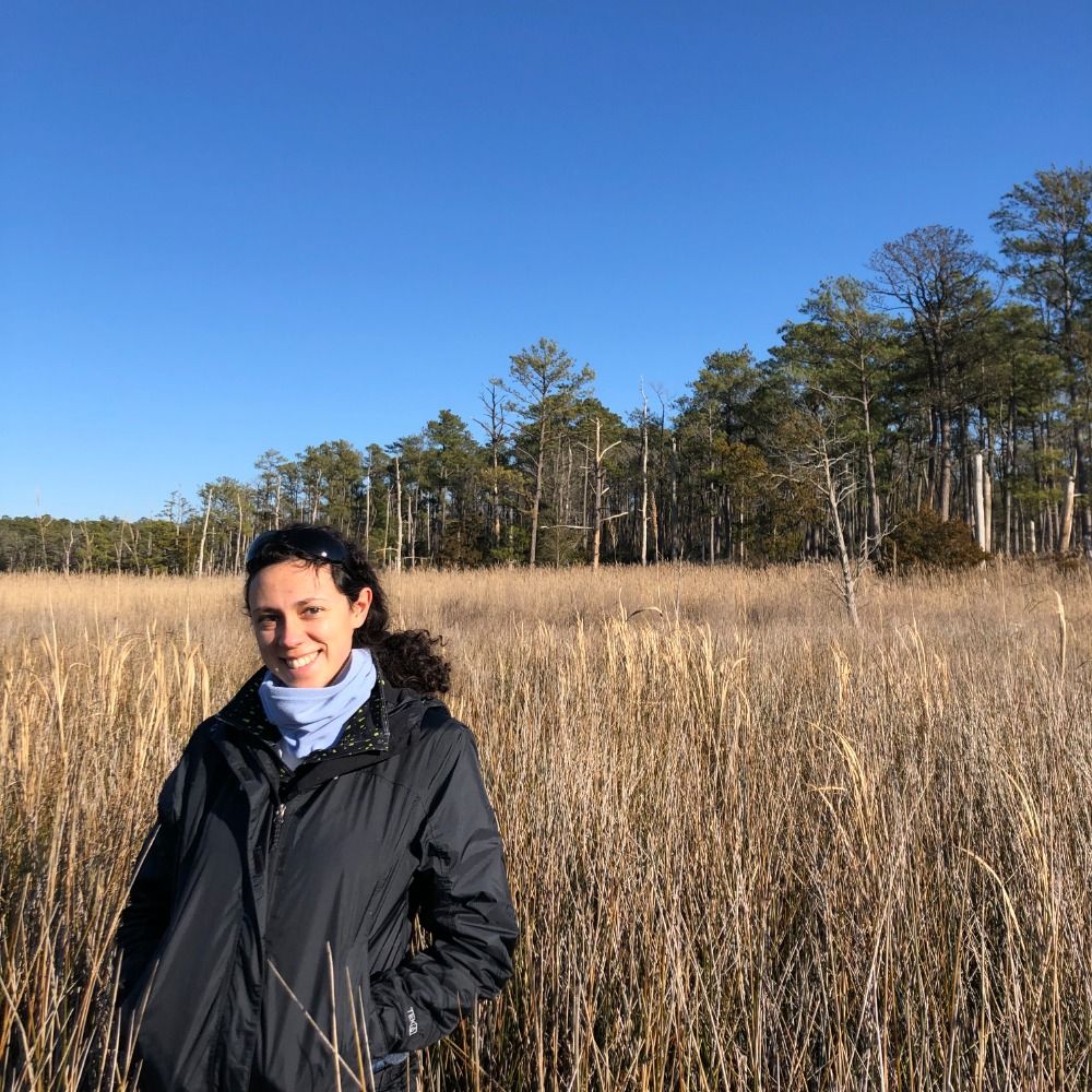
Our first direct hit. Oddly our oyster work is the most popular thing we do. Great return on investment for taxpayers funding bay restoration.
cambridgespy.substack.com/p/horn-point...
But in the southern hemisphere, the rotation around a high goes anticlockwise, as you can see in this large eddy off the coast of Sydney, Australia. So don't be confused by blogs written for American audiences. It's different down under.
29.12.2025 06:00 — 👍 0 🔁 0 💬 0 📌 0
We know the southern hemisphere is special, but what's that got to do with ocean eddies? In the northern hemisphere, high sea surface height (SSH) in the centre of an eddy is associated with clockwise rotating currents.
29.12.2025 06:00 — 👍 0 🔁 0 💬 1 📌 0Chlorophyll data are sparse due to clouds and missing data, but indication are that chlorophyll is high in the cool water. The offshore cool water edge is a likely region to find plankton feed.
26.12.2025 06:00 — 👍 1 🔁 0 💬 0 📌 0


There are strong sea surface temperature (SST) contrasts off the Coromandel Peninsula, New Zealand, with cool water nearshore. The gradients are not sharp enough to produce well defined fronts, probably due to recent windy weather.
26.12.2025 06:00 — 👍 2 🔁 0 💬 1 📌 0

Cloud-free Sea Surface Temperature off the Mahia Peninsula, on the east coast of New Zealand reveals distinct temperature variations north and south of a significant eddy. 🌊 #Oceanography #NewZealand
24.12.2025 04:15 — 👍 1 🔁 0 💬 0 📌 0“Deliberately dismantling an institution so central to weather forecasting and climate change prediction would not only undermine scientific research, it would leave people across the nation less prepared for the dangers of a warming world."
www.ucs.org/about/news/t...

www.linkedin.com/posts/sam-mc...
#oceanography #fisheries

open.substack.com/pub/contrari...
The barbarians are attempting to burn down the nation.

Trump is meeting with Vought today to see how they can advance this destructive plan.
thebulletin.org/2025/09/whol...
Some have to learn the hard way, I guess. If they can learn when belief contradicts logic.
02.10.2025 03:27 — 👍 1 🔁 0 💬 0 📌 0
Fight back!
edition.cnn.com/2025/08/28/c...
#fisheries #oceanography

It's becoming ever more apparent that ships should focus on what the autonomous vehicles cannot do.
#fisheries #oceanography
www.linkedin.com/posts/emilyp...
25.08.2025 20:22 — 👍 0 🔁 0 💬 0 📌 0www.linkedin.com/posts/michae...
23.08.2025 19:24 — 👍 0 🔁 0 💬 0 📌 0
There are times when the patterns of temperature on the ocean are simply beautiful, whether you are into the science or not.
www.fishingmaps.info
#fisheries #oceanography