Mastodon is there, and entirely decentralized. No single owner.
Not as slick as Bluesky, but safe from future acquisitions.
Mastodon is there, and entirely decentralized. No single owner.
Not as slick as Bluesky, but safe from future acquisitions.
Bit more than that. Turns out Europe was able to replace US as a partner for Ukraine. Many doubted that was possible -- turns out it was.
Cost did not increase much, though. Mainly it was divided differently.
No idea why you say it's increasing. US support has been zero for 12 months.
Same in Norwegian: “hekseskudd”.
It feels like you’ve been shot in the back by a witch, too.
Russland har bygd egne shahed-fabrikker nå. Vet ikke om de fortsatt får leveranser fra Iran.
Ellers veldig fint å ikke bruke det russiske navnet på Kyiv. Påstanden om at Kyiv egentlig er Kiev er jo selve krigens årsak.
Ze heter Volodymyr. Vladimir er den russiske formen av navnet hans.

www.biorxiv.org/content/10.6... comparison of commercially available #Saccharomyces #mead yeasts.
Our new preprint w/ @balintnemeth.bsky.social and colleagues compares 13 mead #yeast strains for their phenotype, genome, and presents data on metabolites in experimental mead fermentations.
He is actually a distant relative. Roughly fourth degree cousin.
27.02.2026 14:14 — 👍 1 🔁 0 💬 1 📌 0Lutra I think comes from #5 Hornindal, which is top-harvested. But Lutra is a single strain, so I’m not sure it really matters a lot. Look at how it behaves. If it forms a floating porridge and looks like it wants to be harvested from the top, do that. If not, just do whatever looks easier.
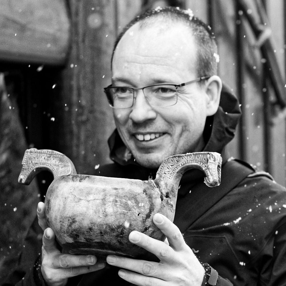
27.02.2026 13:13 — 👍 2 🔁 0 💬 1 📌 0Anyway, I've known of this guy for decades, and last night he came to my talk because he happened to see an ad for it, and recognized the family name. Got a nice long chat with him, which was very pleasant.
27.02.2026 12:46 — 👍 9 🔁 0 💬 2 📌 0
that ... that's ... Knut Garshol?!?"
Turns out Knut stockfish Garshol was the guy ahead of my mom in the queue, and the clerk couldn't get her head around how my mom could want that guy's suitcase without knowing who he was.
(Knut is a name that's neither common or uncommon, but Garshol is rare.)
get the car, while my mother queued for the suitcase. Once the guy ahead of her had sorted out his business my mother tells the clerk that she's requesting the missing luggage of Knut Garshol.
The clerk stares at her goggle-eyed, and points to the guy who just left, while stammering out "but ...
My father's name Knut Garshol, but last night I met the other Knut Garshol, who is (of all things) famous for his dedication to stockfish.
True story: About forty years ago my mom and dad came home from a holiday abroad, but on landing in Oslo did not receive their suitcase. So my dad went to ...

Photo of a still fjord with forest-covered hills. A runway juts out into the sea, pointing straight up a valley labeled "Stjørdal main valley." A side valley to the left is marked "Skjelstadmarka." On the far left is a peninsula called "Skatval", and Stjørdal town is right next to the runway.
As I flew into Trondheim airport yesterday, I managed to snap this photo of Stjørdal. All of the marked areas are malting and brewing areas, except for the town. Jørund Geving's malt kiln (såinnhus) is basically at the far end of the runway.
27.02.2026 09:25 — 👍 10 🔁 1 💬 1 📌 0
Photo of a railway platform. Snow piled up in the middle, the flat surfaces entirely covered in gray ice. Little bits of gravel have sunk ineffectually into the ice, which is 3-4 cm thick.
Rain in February is a miserable thing. Everything gets wet and dark, but the real problem is the ice. It will melt, eventually, but we may well get a refill before then.
26.02.2026 08:07 — 👍 4 🔁 0 💬 0 📌 0Thank you! That's how it seemed to me as well, and it's great to hear that professionals in the field see it the same way.
24.02.2026 20:06 — 👍 1 🔁 1 💬 0 📌 0
“Broader set of comparative examples” is exactly the sort of thing I was hoping to hear.
Look forward to hearing more!
Would be very interested to hear if it changed some of your thinking about Mesopotamian brewing.
24.02.2026 11:54 — 👍 2 🔁 0 💬 1 📌 0Just finished Historical Brewing Techniques by @larsga.bsky.social. I’ve been reading a few pages each evening as I wind down from the day. I loved this book and learned so much. As @kategrossman.bsky.social can attest, I regularly felt compelled to share what I had learned with those nearby
24.02.2026 03:08 — 👍 21 🔁 2 💬 2 📌 0Takk! 😀
24.02.2026 11:52 — 👍 0 🔁 0 💬 0 📌 0
Screenshot of part of an email reading: "Reviewer #1: I appreciate the revisions that accommodate all my concerns. I have no more comments. Reviewer #2: The authors have addressed my comments satisfactorily, and the manuscript has improved by fully addressing all reviewer comments. This is an excellent paper that will have a significant impact on the field. Reviewer #3: All comments were addressed, I don't have further suggestions."
TFW the microbiology paper you've worked on since 2017 is *finally* accepted by a journal. Oh, frabjous day!
Academic journals grind slowly, so still some time before the actual paper will be available.
Do you remember that very night -- the night before the day of all days, four years ago?
How many of us didn’t sleep at all.
We sat in the dark in silence, in front of our laptops, refreshing news feeds.
I took no chances, charging at Lom, just before starting the crossing. Planned it that way from the start, so charging coincided with dinner. Basically wasted no time at all. Think I can get used to driving electric.
21.02.2026 17:32 — 👍 1 🔁 0 💬 0 📌 0
A road descending in a narrow valley between snow-covered mountains with a light fuzz of trees, under gloomy gray skies. No cars, no houses, no people.
Drove across the mountains to Hornindal for the annual board meeting of @kornolfest.bsky.social. We just switched to an electric car, so I was a bit worried about the crossing, but it was fine. 62% battery when starting the descent, 64% at the bottom. Drove 30 mins without losing any battery at all.
21.02.2026 16:42 — 👍 11 🔁 0 💬 1 📌 0Orkney was under the Norwegian crown for centuries, like Iceland, etc. Then the Norwegian crown passed to the Danes. By the time Norway became independent centuries later, these remote dependencies were considered Danish.
20.02.2026 15:10 — 👍 0 🔁 0 💬 0 📌 0
A door from a 13th century building on my ancestral farm in Voss, Norway, for #aDoorableThursday - with imitation wooden pillars and evil spirits thoroughly warded off with tar crosses.
12.02.2026 20:06 — 👍 59 🔁 9 💬 2 📌 1Usually you end up with the worst combination: you manage other people while also being managed.
12.02.2026 18:19 — 👍 0 🔁 0 💬 0 📌 0
This video is a different visualization of the same data as yesterday's video. The difference is only the formula that calculates the size of the dots (log instead of square root).
For yesterday's video you really need a desktop screen, but today's works on mobile.
bsky.app/profile/lars...
I made a video showing the size of European towns 700-2000.
It uses a log scale, so the area of each dot is _not_ proportional to the number of inhabitants. This makes it much easier to see smaller towns.
Currently in the "haha, yes, YES! this will blow everyone away" phase of book writing.
No doubt the "am I sure this is right? What the hell, NOBODY will want to read this junk!" phase will return before long.

I have no experience with bone skates, but looking at photos they look more like short skis, and not like the skates we know today. Must have been very different in use, since they give very little grip on the ice. Maybe they used poles, like with skis.
11.02.2026 10:06 — 👍 1 🔁 0 💬 0 📌 0
The data source is this paper, which released the underlying data set as a CSV file.
www.researchgate.net/publication/...

