A hockey card entitled Winter Storm Warning, personally signed by Cam Atkinson.
Just got former Blue Jackets and Lightning forward Cam Atkinson to sign a hockey card entitled Winter Storm Warning while in an actual Winter Storm Warning. ❄️🏒
25.01.2026 00:10 — 👍 1 🔁 0 💬 0 📌 0

Summer thunderstorms in the distance, viewed from NWS ILN.

Summer thunderstorms in the distance, viewed from NWS ILN.

Summer thunderstorms in the distance, viewed from NWS ILN.

Summer thunderstorms in the distance, viewed from NWS ILN.
Looks like summer. ⛈️
16.07.2025 23:29 — 👍 2 🔁 0 💬 0 📌 0

Lunar eclipse approaching totality as seen from Ohio.

Lunar eclipse approaching totality as seen from Ohio.

Lunar eclipse very close to totality as seen from Ohio.

Lunar eclipse at totality as seen from Ohio.
Shifting light and shifting exposures -- phases of the lunar eclipse.
14.03.2025 07:16 — 👍 2 🔁 0 💬 0 📌 0

Image of a lunar eclipse in progress as seen from Ohio.
We are eclipsing.
14.03.2025 05:45 — 👍 4 🔁 0 💬 0 📌 0

The sun rises behind the Gateway Arch and buildings in St Louis, Missouri.
Gateway sunrise.
25.02.2025 13:10 — 👍 5 🔁 0 💬 0 📌 0

Precipitation map from the last 48 hours across Kentucky, with some values over 6" in the southwest portion of the state.
Remarkable amount of rainfall in Kentucky. A swath of 5"+ in the southwest, and even the northeast part of the state with a solid 2"-3".
Image from the fantastic Kentucky Mesonet. Wish every state had something this good.
16.02.2025 18:01 — 👍 0 🔁 0 💬 0 📌 0

A picture of ice on tree branches.
It's icy.
06.02.2025 05:28 — 👍 3 🔁 0 💬 0 📌 0

Below zero at the office for the first time since December 24, 2022.
21.01.2025 05:06 — 👍 2 🔁 0 💬 0 📌 0

brb about to be executed and put to deth
20.01.2025 20:41 — 👍 2 🔁 0 💬 2 📌 0

From a purely scientific standpoint, I quite like the WPC PPP snowfall maps with 25th-75th percentile point sample ranges.
From a "show this to the public without getting laughed at" standpoint, I'm not sure what to do with "<5" or "4-12". 😂
05.01.2025 04:36 — 👍 7 🔁 0 💬 1 📌 0
Do the 16-year-olds who tweet at us asking for winter storm warnings know we're not actually going to issue winter storm warnings just because they asked us to issue winter storm warnings?
02.01.2025 18:19 — 👍 3 🔁 0 💬 0 📌 0

Radar imagery (reflectivity, velocity, correlation coefficient, differential reflectivity) of birds taking off at sunrise on Dec 2 2024.
The birds are very reflective this morning.
02.12.2024 12:56 — 👍 1 🔁 0 💬 0 📌 0

Weather Extremes in Canada and the United States (front, 1985)

Weather Extremes in Canada and the United States (back, 1985)

World Weather Extremes (front, 1985)

World Weather Extremes (back, 1985)
Today's buried treasure from the back room (courtesy of a coworker) is a set of maps depicting meteorological records and extremes ... from 1985.
25.11.2024 21:56 — 👍 1 🔁 0 💬 1 📌 0
I felt like I was being graded on how much attention I was paying to the minutiae of the wording, not the content of what we were learning. When the quizzes take three times as long as the modules themselves, something's gone horribly wrong. 🙃
23.11.2024 21:52 — 👍 3 🔁 0 💬 1 📌 0

Hello ANDREW,
Congratulations on completing the following training item:
Title: Ensemble Fluency
I, and my attention span, are done for the day.
23.11.2024 20:46 — 👍 5 🔁 0 💬 1 📌 0

Image from the public NWS Damage Viewer with an analysis of damage from March 14, 2024 in Delaware County, Ohio.
It's November, it's snowing, and I'm still in the DAT checking and QCing things from March. That's the kind of year it's been. 46 tornadoes in the forecast area in 2024, let's not do that again in 2025.
22.11.2024 00:33 — 👍 4 🔁 0 💬 0 📌 0
Just pulled it up on AWIPS. A few pulses before it got to Pittsburgh, and no lightning after that!
20.11.2024 23:39 — 👍 2 🔁 0 💬 0 📌 0
Verifying near Pittsburgh!
20.11.2024 22:03 — 👍 1 🔁 0 💬 1 📌 0
Greatly appreciated, and enjoyed the conversation! If anything else comes up regarding this project feel free to message me or email me at work. 🌪️
20.11.2024 18:26 — 👍 1 🔁 0 💬 0 📌 0
Sorry, this is a lot 😂 but I could go for hours talking about tornado warnings and emergencies and verification. Fascinating subject to me, and I'm really interested to see what you come up with!
19.11.2024 01:11 — 👍 1 🔁 0 💬 0 📌 0
But the reason I mentioned looking at data /before/ the issuance of the TorE is that as a warning forecaster, I think a lot about judging performance not by what happened after the warning decision was made (verification) but by assessing the factors that led to the decision in the first place.
19.11.2024 01:11 — 👍 0 🔁 0 💬 1 📌 0
To your last question, I feel like a metric or verification standard for a TorE would probably have to include an EF-scale component as well as a component tied to the length/duration of the tornado (or the tornado's strongest segment).
19.11.2024 01:11 — 👍 0 🔁 0 💬 1 📌 0
The really cool (but very time intensive) thing I'm thinking about would be to catalog the EF-rating for a tornado for each separate minute that the TorE was technically in effect. Analyzing radar data on top of points/polygons from the DAT would probably make that possible.
19.11.2024 01:11 — 👍 0 🔁 0 💬 1 📌 0
Another thing I'm thinking about -- are you calculating these stats for the entire durations of the warnings that included a TorE, or only for the valid time that the TorE / catastrophic tag was actually in effect?
19.11.2024 01:11 — 👍 0 🔁 0 💬 1 📌 0
Of course, EF-ratings are also a function of what gets hit, independent of the meteorology, but that's unavoidable.
My personal gut opinion -- if I were to issue a TorE, I would want it to verify at >=EF3, and probably with more than just one or two DIs at the EF3 level.
19.11.2024 01:11 — 👍 0 🔁 0 💬 1 📌 0
Been a while since I did the WDTD modules, so I'm not sure if they have a specific EF-rating they're looking to get out of a TorE. But that's probably the most objective way to assess a TorE from a verification standpoint. Looking at 2/3/4 allows a range of stats, which I'm glad you're running!
19.11.2024 01:11 — 👍 0 🔁 0 💬 2 📌 0

The 1974 Xenia F5 exhibit at the Greene County OH Records Center and Archives.

The overview panel of the Xenia F5 exhibit at the Greene County OH Records Center and Archives.

The "weather technology" panel of the Xenia F5 exhibit at the Greene County OH Records Center and Archives. We provided a lot of content for this one.

Large aerial view of the tornado's path through Xenia, installed on the wall opposite the main exhibit.
Got to work with the Greene County OH archives department on a really cool new exhibit about the 1974 Xenia F5 -- focused on the changes that followed from the tornado's impact. The display was installed this week. Xenia Lives!
16.11.2024 21:44 — 👍 13 🔁 2 💬 0 📌 0
I'm quite interested in this! Couple ideas/questions:
1) Would love to see TDS heights and Vrot in the 0-5 minutes prior to issuance of a TorE, as a proxy for the data a forecaster had when the decision was being made.
2) How do you define a "success" for a TorE? Is it based on confirmed EF-rating?
16.11.2024 02:25 — 👍 1 🔁 0 💬 1 📌 0

KCVG 140052Z 08004KT 5SM +RA SCT080 OVC100 12/09 A3006 RMK AO2 RAB2356 SLP179 P0011 T01170089
Interesting observation at KCVG about an hour ago. Heavy rain with reduced visibility (5SM +RA) with a ceiling height way up there at 10,000 feet (OVC100). Sometimes the forcing aloft beats out the two miles worth of dry air underneath.
14.11.2024 02:14 — 👍 2 🔁 0 💬 0 📌 0

Here's a picture of a cute prairie dog to cleanse your timeline.
07.11.2024 01:14 — 👍 1 🔁 0 💬 0 📌 0
Meteorologist at NOAA's Weather Predicition Center. Proud father & husband. Northern VA raised, DC sports fan. My thoughts & opinions are my own.
NWS Meteorologist | UofL Atmospheric & Environmental Science | Weather🌪, Outdoors🏔, Photography📸, and Fitness💪🏻 | Opinions are my own.
Meteorologist | Ohio State University ‘21 & ‘23
Meteorologist | @NWSColumbia - NC State Alum - SC HS BBall Official - Girl Dad x2
Weather geek. Sports (Sooners, Cowboys, Celtics, whoever Baker Mayfield plays for) fanatic. Foodie. OTF Cult member. Part-time Pelotoner. 3-Time Marathoner. Music lover. Mom. Wife. All around awesome. (Mahogany Teakwood is the Bath & Body Works candle 🐐.)
* Christian; Husband; Dad
* SPC Chief of Science & Support
* OBU Assistant Professor of Natural Science
* Former Bear poker turned Bear
Music is art.
The atmosphere is beautiful.
Trust my opinion on neither.
LGBT+ Outdoors Pup. DJ and backpacker.
#weathertwitter refugee
Southern Appalachia -> Spanish West Florida -> Cascadia -> DC
Meteorologist. PhD Candidate @ OU #BoomerSooner. MSU ‘19 alum #HailState. I only ever post about weather and sports.
Research meteorologist in OK from Norway 📡🌪️
🩷💛💙
35 year meteorologist in warning/forecast provision and research, now CEO of Balanced Weather LLC, Disney/Peanuts fan, golfer, sports fan, TK Little. For more weather info go to https://balancedweather.substack.com/about
Sr Storm Specialist at Urbint
Meteorologist
Expertise in weather-driven power outages
Dog lover
Boy mom
Husband | Dad | Meteorologist | Penn State & Ohio State/TBDBITL Alum | Braves Fan | Grass Mowing Aficionado | Leadership/Culture Junkie
1 Thessalonians 5:16-18
Opinions my own
30-year software engineer, avid gamer, weather geek. Currently hacking on https://weather.gov for @nws.noaa.gov
I created api.weather.gov.
Personal account, views are solely my own.
🌩️Meteorologist at NWS | 💻Python Programmer | 📷 Photography | 🎓UW-Milwaukee grad | 🧀Cheesehead | MKE ✈️ NYC ✈️ SAC ✈️ BNA
NWS Severe Weather Program Coordinator
Hiker, trail runner, yogi, musician
Detroit Lions fan
Warning Coordination Meteorologist for the National Weather Service in St. Louis, MO. Girl dad, fitness lover, and sports fanatic
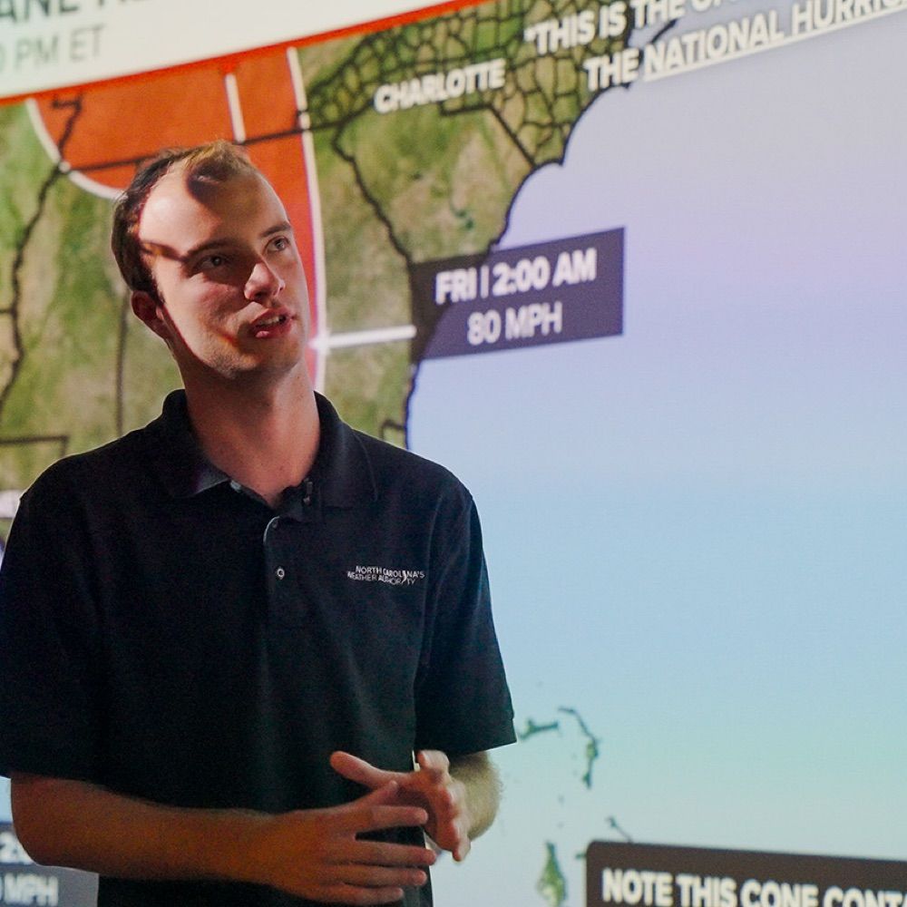
@NCState | Meteorologist/Stormwater for @RaleighGov and Freelance for @WRAL| Founder of North Carolina’s Weather Authority with over 650k followers on FB|
https://t.co/rmPgbwdgpH