The 2015 snow drought was truly historic with much more widespread and severe deficits in most places than we are currently experiencing. Here is the April 1, 2015 SWE % of median map (left) and the current February 17, 2026 SWE % of normal map (right). [Note the color shading is a bit different].
18.02.2026 20:19 — 👍 2 🔁 0 💬 0 📌 0

Graph of SWE for the PNW showing 2026 SWE is near SWE levels during the 2015 snow drought.
This graph shows 2026 SWE (solid black line) and 2015 SWE (solid turquoise line) for WA+OR+ID.
In the Pacific Northwest as a whole we are near 2015 levels, although we will likely continue to see some improvement in current SWE relative to 2015 over the next week or two.
18.02.2026 20:14 — 👍 1 🔁 0 💬 1 📌 0

Image announcing the 2026 Summer Internship Program. The photo reads "Apply your passion and skills towards finding equitable environmental solutions"
The EarthLab Summer Internship Program is back!
WASCO is looking for an intern to help us highlight successful climate adaptation case studies across Washington. 9 weeks of paid, hands-on work, mentorship + a community of peers across disciplines.
📅 Apply by 2/17!
👉 bit.ly/ELIntern26
30.01.2026 20:42 — 👍 0 🔁 0 💬 0 📌 0
Roughly 44% of our median April 1 SWE comes after January 20. This number drops to only 34% by February 1.
Given our dry forecast in the short-term, opportunities to makeup our snowpack deficit are shrinking quickly. We need an abnormally snowy end to winter to end up with normal snowpack.
20.01.2026 20:59 — 👍 2 🔁 0 💬 1 📌 0
AWS Plot
Our snowiest months are typically December and January.
Here's the average change in SWE by month, statewide:
October: +0.3"
Nov: +4.0"
❄️Dec: +7.5"
❄️Jan: +7.5"
Feb: +5.6"
Mar: +4.4"
Source: nwcc-apps.sc.egov.usda.gov/awdb/basin-p...
20.01.2026 20:59 — 👍 2 🔁 0 💬 1 📌 0

Current SWE across Washington sub-basins. Snowpack is largely near or below 50% of normal for this point in the winter.
Most basins have below 50% of normal snowpack. We need a steady train of storms every few days to just keep our snowpack near normal in January, and recent dry weather has not been kind to our snowpack.
Q: Can we make up this snowpack gap by spring?
It is possible, but increasingly unlikely....
20.01.2026 20:59 — 👍 10 🔁 3 💬 1 📌 0

Map of above normal temperatures in December 2025. Source: Climate Toolbox
https://climatetoolbox.org/tool/Climate-Mapper

Map of wetter than normal conditions in December 2025.
Source: Climate Toolbox
https://climatetoolbox.org/tool/Climate-Mapper
Our January Newsletter is here!🗞️
In this month's newsletter we discuss record warm December temperatures 🌡️, a recap of the December floods 💧 and wet conditions, and an update on low snowpack conditions across much of the state ❄️
🔗 climate.uw.edu/news/categor...
16.01.2026 19:56 — 👍 1 🔁 0 💬 0 📌 0

Photo collage of NW CASC research fellows in the field.
🔥 🌲 ⛰️ ❄️ 🦫 🌊 🦀 🐝 It's that time of year again! Grad students & postdocs doing #ClimateChange research @ BSU, OSU, PSU, UM, UW, WSU and WWU — You can now APPLY for NW CASC's 2026-27 Research Fellowship Program, supporting research+training in actionable sci! Deadline Mar 9 bit.ly/45RnoHC
1/4
14.01.2026 20:50 — 👍 5 🔁 4 💬 1 📌 2

Snow Water Equivalent (SWE) by basin as of midnight on the night of December 8. SWE is well below normal in the central and southern Cascades and the Olympics.
Atmospheric rivers tend to be fairly warm, meaning precipitation tends to fall as rain, even in our mountains.
As round two moves in today, we aren't likely to see much improvement in our mountain snowpack as unseasonably warm temperatures continue.
Map from:
🔗 www.nrcs.usda.gov/resources/da...
09.12.2025 20:13 — 👍 1 🔁 0 💬 0 📌 0

The change in SWE at SNOTEL stations from midnight on December 7th to midnight on December 8th. Green and yellow values denote little change or even slight losses in SWE.
It was quite the rainy day across western Washington yesterday, but this event is not shaping up to be a big snow producer in the mountains.
SWE at mountain stations from midnight on the 7th to midnight on the 8th (last night) shows little change.
Data from 🔗 www.nrcs.usda.gov/resources/da...
09.12.2025 19:43 — 👍 1 🔁 0 💬 1 📌 0
2025 Water Year Impacts Survey
Water year 2024 has now ended and conditions were warmer than normal and drier than normal for a majority of the Northwest, on average. How was the Northwest (Washington, Oregon, or Idaho) impacted? ...
The deadline to fill out the PNW Water Year 2025 survey was extended to Friday, December 12th! ☀️🌧️
If you experienced impacts from abnormally dry or wet conditions anytime from 10/1/2024 – 9/30/2025, we'd love to hear from you!
🔗 Take the survey: uwashington.qualtrics.com/jfe/form/SV_...
01.12.2025 18:06 — 👍 3 🔁 3 💬 0 📌 1

https://www.ncei.noaa.gov/access/monitoring/climate-at-a-glance/divisional/mapping
Map of September 2025 Temperature rankings by WA Climate Division. Record warm temperatures occurred across eastern Washington and Puget Sound.
24.11.2025 18:37 — 👍 0 🔁 0 💬 0 📌 0

Graph of statewide September average temperatures 1895-2025. There is a general warming trend over the time period of around 0.3ºF per decade and September 2025 was the warmest September on record by a decent margin. Source: NCEI https://www.ncei.noaa.gov/access/monitoring/climate-at-a-glance/statewide/time-series
Now that NCEI data is flowing again, it is time to take a look at just how warm September 2025 was statewide:
September was the warmest September in WA back to at least 1895! Temperatures were +5.2ºF above normal statewide for the month.
Source: NCEI Climate at a Glance
24.11.2025 18:37 — 👍 1 🔁 1 💬 1 📌 0

Photograph of pivot irrigation underway over a dry field with virga overhead. Virga is rainfall that evaporates before it reached the surface, leaving visible streaks or rain shafts in the air.
The November Newsletter is here!
Read on for a statewide recap of the 2025 Water Year, weather and climate conditions in October, and a look at the seasonal outlook for the next 3 months.
climate.uw.edu/news/categor...
12.11.2025 16:55 — 👍 0 🔁 0 💬 0 📌 0
The longest streak at SeaTac is 586 days (1976-01-15 through 1977-08-22), and the 2nd longest is 582 days (1993-03-23 through 1994-10-25).
27.10.2025 20:23 — 👍 0 🔁 0 💬 0 📌 0

Table of the longest streaks in SeaTac history.
SeaTac Airport reported 1.04" of rainfall on Friday, October 24th ending SeaTac's impressive 546-day streak of daily total rainfall below 1.00".
This was the third longest streak on record (records began at SeaTac in 1945).
27.10.2025 20:23 — 👍 1 🔁 0 💬 1 📌 0

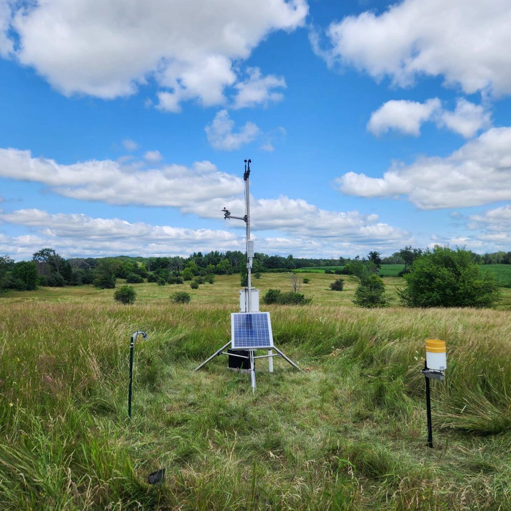
We completed #Mesonet site #59 last week in Poulsbo, WA! This is our sole location in Kitsap County. #wawx
24.10.2025 15:35 — 👍 3 🔁 3 💬 0 📌 0

Scatter plot of September 2025 temperature and precipitation relative to all Septembers back to 1979. Source: https://climatetoolbox.org/tool/historical-climate-scatter
Our October 2025 Newsletter is now live! September was likely the warmest September on record, and statewide drought continues. La Niña conditions are now in effect, and wetter than normal conditions are expected Oct.-Dec.
Read about recent and upcoming conditions:
climate.uw.edu/news/categor...
09.10.2025 18:08 — 👍 1 🔁 0 💬 0 📌 0

A flooded road with “road closed” sign at point where water is crossing the street.
Happy October & Flood Awareness Month! Join us with @emd.wa.gov @oicwa.bsky.social & @wadnr.bsky.social this month to learn what flood tricks to look out for and some treats to help you be prepared. Check out our blog about flooding in WA & how to get flood risk maps: ecology.wa.gov/blog/october...
07.10.2025 16:35 — 👍 11 🔁 5 💬 0 📌 0

Decorative banner image for the Annual PNW WY Impacts Survey.
Happy 2026 Water Year! Fill out the PNW Water Year 2025 Impacts Survey to let us know how WA, OR, and ID were impacted by abnormally dry or abnormally wet conditions during the 2025 water year (Oct 1, 2024 - Sep 30, 2025). Open through Nov 26, 2025.
uwashington.qualtrics.com/jfe/form/SV_...
01.10.2025 17:25 — 👍 1 🔁 1 💬 1 📌 0
Our Climate Future Webinars | Climate Impacts Group
A CIG Webinar SeriesWe’re building a just and resilient world where people and nature thrive in a changing climate. This new webinar series will expand access to 30 years of research, data, and tools,...
Join us on Thurs, Sept. 25th @ 11am PT for a discussion of the resources available for understanding climate risk in the PNW! 🌊🌲🏔️
This is the latest installment of the Our Climate Future webinar series organized by @cig-uw.bsky.social .
Register here: cig.uw.edu/news-and-eve...
19.09.2025 18:16 — 👍 0 🔁 0 💬 1 📌 0

Climate Prediction Center October-December Temperature and Precipitation Outlook. Precipitation is most likely to be above normal for this period. Temperatures have equal chances of being below, above, or near-normal.
Odds tilt toward favoring wetter than normal conditions across the state from October-December with greater uncertainty for temperatures.
Sea surface temperatures in the Tropical Pacific continue to cool. La Niña conditions may develop in the next couple of months.
climate.uw.edu/2025/09/18/l...
18.09.2025 21:00 — 👍 1 🔁 1 💬 0 📌 0
News | Washington State Climate Office
Read our full September Newsletter:
climate.uw.edu/news/categor...
10.09.2025 16:08 — 👍 1 🔁 0 💬 0 📌 0

June-August 2025 precipitation and temperature percentile maps for Washington State, created using ClimateToolbox.org. Darkest brown and red shadings reflect record dry and warm conditions over this period, respectively.
Summer featured record heat and record dryness across large portions of the state. Read our August and Full Summer 2025 Climate Summary to learn more!
climate.uw.edu/2025/09/08/a...
10.09.2025 16:08 — 👍 0 🔁 0 💬 1 📌 0

Logo for Valiant near-peer mentoring program featuring a scene of a mountain.
We are recruiting near peer mentors for the Valiant program. We seek one 4th year undergrad & one grad student to serve as mentors. Financial compensation provided. See the link below to learn more & apply. @uwsafs.bsky.social @uwenvironment.bsky.social uwashington.qualtrics.com/jfe/form/SV_...
26.08.2025 19:48 — 👍 4 🔁 2 💬 1 📌 0
Late August Climate Outlook
A La Niña Watch is in place. What might this mean for the upcoming fall and winter in Washington?
Read our latest Climate Outlook to learn more:
climate.uw.edu/2025/08/21/l...
What can you expect over the next couple of weeks? More persistent summer heat continues statewide.☀️
21.08.2025 22:46 — 👍 0 🔁 1 💬 0 📌 0
🌡️Dangerous heat returns late this week and through the weekend.
Then, summertime temperatures stick around in the PNW into early September. The Climate Prediction Center's short term outlooks show above normal temperatures are likely to continue through Sept 4.
21.08.2025 19:44 — 👍 1 🔁 1 💬 0 📌 0

Do you live in Skagit or Island County? WSU Extension is offering a new Climate Stewards program with coursework and field trips on local climate topics. This fall session begins September 16th. Scholarships are available!
Learn more and and register now:
wsu.co1.qualtrics.com/jfe/form/SV_...
21.08.2025 19:25 — 👍 2 🔁 1 💬 0 📌 0
Our August WASCO Newsletter features a recap of July weather and drought conditions as well as a look ahead at expected conditions over the next few months. Visit our website for more:
🔗 climate.uw.edu/news/categor...
13.08.2025 17:00 — 👍 0 🔁 0 💬 0 📌 0
We are an award-winning research university inspiring the next generation of problem solvers - a community of Cougs helping Washington & the world. https://pullman.wsu.edu/ #GoCougs
Education, Climate, Hiking, Cooking....
Official account of the Port of Seattle. Own & operate @flySEA, Fishermen’s Terminal, cruise terminals, marinas, grain terminal, real estate, and cargo terminals with the Northwest Seaport Alliance.
News, information, and fun facts on Hanford history and cleanup from Ecology's Nuclear Waste Program.
ecology.wa.gov
Associate Dean of Inclusive Excellence University of Washington College of the Environment & Professor School of Aquatic and Fishery Sciences. Director @uwmlel.bsky.social marine drone program. Star Wars fan. https://fish.uw.edu/faculty/corey-garza/
PhD Climate Scientist. Alaska. The Earth is warming because of us. Mooseologist. All opinions are my own. Future FIFA Peace Prize winner. Signal: Climatologist.49
Connecting research with practice at the nexus of climate change and invasive species in the Northwest
A program of the Northwest Climate Adaptation Science Center @nwcasc.bsky.social and part of the broader RISCC Network
www.nwriscc.org
WICCI is a statewide collaboration of scientists and stakeholders that evaluates climate change impacts on Wisconsin and Upper Midwest to foster solutions. Read our latest report at https://wicci.wisc.edu/
Explore the diversity of marine life in the field, lab, and classroom with UW Marine Biology 🐠🐋🪸🦦🦑
A network of 78 weather and soil monitoring stations in Wisconsin. We're growing with the support of the USDA Rural Partnerships Institute and Wisconsin Alumni Research Foundation.
Official Bluesky account of the Oklahoma Mesonet. A joint project of the University of Oklahoma and Oklahoma State University providing 5-minute weather data from 120 stations across Oklahoma.
Washington’s mesoscale network of weather stations supporting agriculture, forecasters, researchers, aviation, education, and water resources.
Official site of the Washington Emergency Management Division. Content Guidelines: https://mil.wa.gov/social Not here 24/7 #wawx #EMGchat
Preparedness tips: https://mil.wa.gov/preparedness
Alerts: https://mil.wa.gov/alerts
Official Bluesky Social of the WA State Secretary of State's Office. We oversee Elections, Corp. & Charities, Archives, WA State Library, and more! Shares, Likes ≠ endorsements
Helping every Washington resident live, work, drive, and thrive. Customer service: 360-902-3900. Find out if your ID will fly at the airport: REALIDwa.com
Official Twitter of the Washington National Guard. Always Ready, Always There. Content Guidlines: http://1.usa.gov/1JmKJ4p RT/follow ≠ endorsement.
Linktree - https://linktr.ee/wanationalguard
Official account for the Washington State Administrative Office of the Courts (AOC) and the Washington State Supreme Court.
www.courts.wa.gov
The Regional Seismic Network for Washington and Oregon. We operate almost 700 seismic stations and are the authoritative source for information about earthquakes in both states.
The WA State Noxious Weed Control Board provides noxious weed advice, support, and educational resources about invasive plants in Washington.
https://www.nwcb.wa.gov/
We keep Washington safe and working.
Official Washington State Department of Labor & Industries (L&I) account.