One year ago today was this freak show on the US Gulf Coast. Sacred Hurricane House was desecrated by the cold white stuff—temporarily became Sneaux House. A day that will live in infamy. But I'm OK now. It helps to talk about it.
21.01.2026 19:42 — 👍 33 🔁 1 💬 3 📌 0

Coral Sea is quiet right now. But computer models have been hinting at #cyclone threat to Queensland #Australia. GFS & Google DeepMind are most aggressive, suggesting cyclone near Queensland in 6-10 days. Indicators are very uncertain—so for now, there's nothing to freak out about. Just stay aware.
04.01.2026 10:45 — 👍 26 🔁 5 💬 2 📌 0

Wanna give thanks to my friend, Rob Rhorer. He works with wood & he made this sweet handmade Mississippi clock—from wood he salvaged from a Louisiana home destroyed by Hurricane LAURA. So, the shattered house lives on, resurrected in new creations. It's going in a special place in Hurricane House.
03.01.2026 20:31 — 👍 23 🔁 2 💬 1 📌 0

Happy New Year to my followers. When I’m on tough expeditions, y’all inspire me to chase harder. Thank you.
And I want to express my solidarity with Ukrainians. The strength you show defending yourselves inspires me. May we all show such bravery when evil comes our way.
Here’s to a kinder 2026.
02.01.2026 08:07 — 👍 61 🔁 6 💬 2 📌 0
VIDEO: youtu.be/siq-DdmBUIY
20.12.2025 02:37 — 👍 15 🔁 1 💬 2 📌 0

Hurricane MELISSA's winds were the fiercest I've witnessed. & this is one of the highest gusts I filmed before 100% whiteout. The palm is bending so far, the crown is below the railing. This megagust happens at 43:26 in my video. Soon after, you can't see anything—just a screaming wall of whiteness.
20.12.2025 02:34 — 👍 53 🔁 10 💬 3 📌 1
Thanks so much, Matt. I like how you summarized the video. I'm glad you found it so interesting. 👊
18.12.2025 08:37 — 👍 2 🔁 0 💬 0 📌 0
YouTube video by iCyclone
Hurricane MELISSA at Ground Zero (2025)
My video: Hurricane MELISSA at Ground Zero: youtu.be/siq-DdmBUIY
This is the whole story. Skip to Chapter 5 for the crazy stuff. The highest winds I’ve personally witnessed—or heard. (Screaming sound as storm peaked was harsh & painful. Folks with me held their ears.) These winds smashed concrete.
16.12.2025 15:54 — 👍 42 🔁 9 💬 3 📌 4

Robust wave—Invest 98L—is entering Caribbean. While #hurricane models are not especially excited, global & AI ensembles are more aggressive, showing this system growing real fangs. Caribbean nations need to watch this one. 2025 season might go out with a bang. If it develops, it will be #MELISSA.
19.10.2025 18:38 — 👍 46 🔁 10 💬 5 📌 1
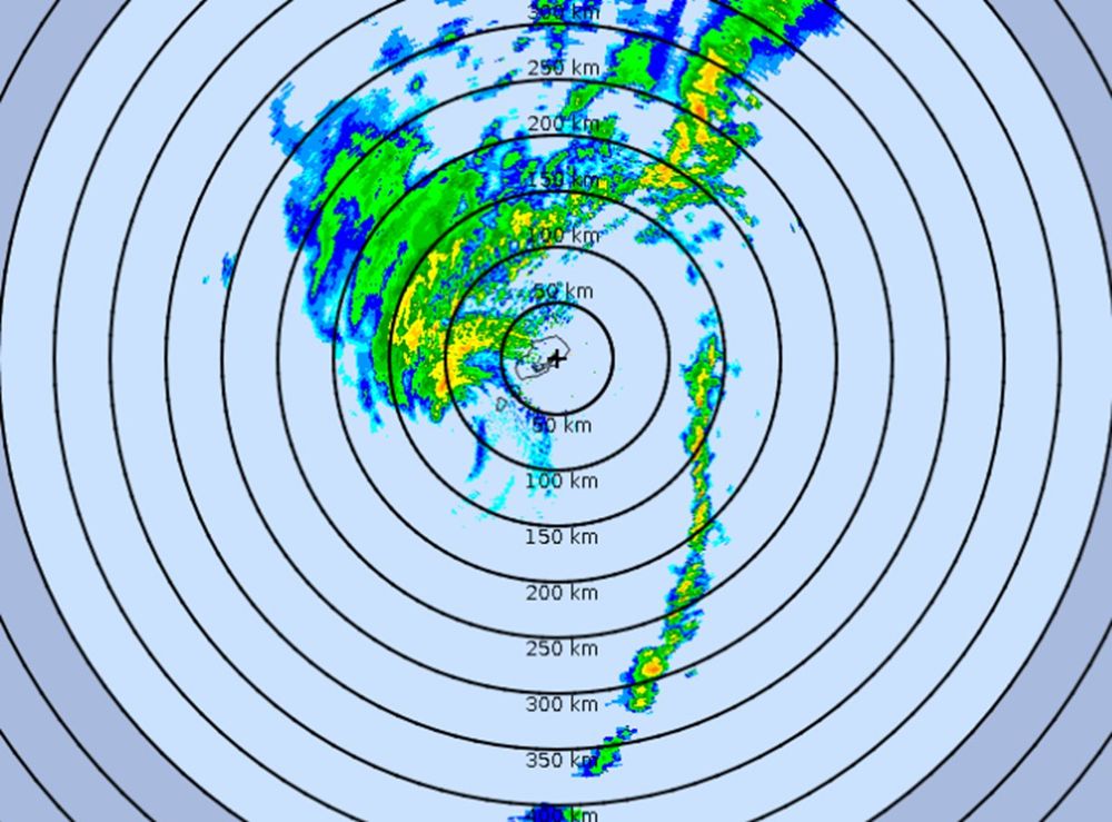
#Hurricane #IMELDA closing in on #Bermuda. Radar shows a deformed system: one super-long rainband & 1/3 of an eyewall. Ok. Strongest winds will occur within next couple of hours, I assume.
Wx Nerd Note: Many of Bermuda's stations are very high above sea level, so readings there tend to be generous.
02.10.2025 01:47 — 👍 28 🔁 3 💬 0 📌 0

#IMELDA ain't exactly a work of art, but it should strengthen as it accelerates ENE. Models suggest it'll be transitioning into freaky hybrid thing as it nears #Bermuda late tomorrow, but it could have spicey gusts. Me: I'm not going for this one. Ain't feeling it. Focused on the Pacific right now.
30.09.2025 13:04 — 👍 42 🔁 5 💬 0 📌 0

Satellite & radar imagery show #IMELDA is starting to crank & will soon become a #hurricane off Florida, near the Bahamas. Thanks partly to #HUMBERTO, it'll accelerate away from the US—putting #Bermuda in the crosshairs. I haven't decided my next step—weighing potential targets around the world.
29.09.2025 22:22 — 👍 39 🔁 5 💬 0 📌 0
Correct.
27.09.2025 19:20 — 👍 1 🔁 0 💬 0 📌 0

Yeah, it looks sexy. But I'm not gonna sit here oohing and aahing over fish food all day. Ain't my style. P.S. Despite the "quiet" season, Cat-4 #Hurricane #HUMBERTO is the third top-quality specimen in the Atlantic this year.
27.09.2025 18:56 — 👍 42 🔁 3 💬 0 📌 0
#IMELDA hasn't even been named yet and I'm already over it.
27.09.2025 18:52 — 👍 30 🔁 0 💬 2 📌 0

NHC has started advisories on the thing which will soon be #IMELDA. Models are giving mixed signals in terms of intensity & path, with other pieces on the chessboard being the trough over the US & Hurricane HUMBERTO in Atlantic. Main takeaway: possible #hurricane near Southeast US coast by Tuesday.
26.09.2025 21:49 — 👍 26 🔁 3 💬 1 📌 0

My fixer Mr. Chen & me, the day after the typhoon—in his hometown of Foshan in Guangdong. He wanted to take me to lunch at his favorite neighborhood place. We worked well together. We had to communicate entirely thru translation apps, but we made it work. And, yes, he said he'd do it again! 谢谢陈先生!
26.09.2025 21:45 — 👍 56 🔁 5 💬 2 📌 0
Recovering from a brutal chase. My 82nd core penetration did not come easy, but it did come. Got into eye of #Typhoon #RAGASA on Hailing Island China 6 pm Wednesday. Storm was decaying but violent. Eyewall was gusty, explosive, micobursty. Lots of damage to hotel & trees. Now en route back to US.
26.09.2025 21:41 — 👍 75 🔁 14 💬 2 📌 1

Cat-5 Super #Typhoon #RAGASA raking the Babuyan Islands of the #Philippines with winds of 145 knots. Babuyan Island is squarely in the eye; the larger & more populated Calayan Island is in the inner eyewall—no doubt seeing extreme winds—& about to enter the lull. Next stop for me: China.
22.09.2025 05:10 — 👍 55 🔁 13 💬 1 📌 0

Night falls on #Philippines as Cat-5 Super #Typhoon #RAGASA heads for Luzon Strait—a place that's seen many such beasts. After it clears the Strait, a weaker RAGASA will threaten big population centers in China. Me: hanging in Manila. I've made no decision where I'm going to hunt. There's time.
21.09.2025 10:59 — 👍 54 🔁 13 💬 2 📌 0
Oh totally. The contradiction was not lost on me.
21.09.2025 06:23 — 👍 3 🔁 0 💬 0 📌 0
Which I do 20 times a day. I don't know what mims means.
21.09.2025 02:31 — 👍 2 🔁 0 💬 1 📌 0

#Typhoon #RAGASA is gorgeous—& difficult to chase. My target was Babuyan Islands (orange). There's no airport, but I had a plan—& then the plan fell through. Plan B: Hunt it in China (pink), where it could be a big impact. My possible targets: Hong Kong, Macau, Zhanjiang, & Leizhou. No decision yet.
21.09.2025 02:09 — 👍 39 🔁 3 💬 2 📌 0
P.S. Sorry I've been silent for a while. Bluesky isn't available in Mississippi due to some age-verification bullsh*t, and I haven't gotten around to setting up a VPN.
20.09.2025 03:23 — 👍 66 🔁 3 💬 5 📌 0


Hey from 35K ft over Pacific. I'm on the journey to hunt down #Typhoon #RAGASA. My plan: there ain't no plan—yet. Too soon. I'm just gonna land in Manila & look at it. From there, I have six distinct paths I can take—across different nations, etc. This is a tricky one. WPAC always a pain in the ass.
20.09.2025 03:19 — 👍 55 🔁 11 💬 4 📌 0
♥️
19.08.2025 01:40 — 👍 2 🔁 0 💬 0 📌 0

#ERIN: big, powerful #hurricane that'll stay out over Atlantic. However, it'll grow in size—typical as hurricanes move N—so parts of US East Coast will see gusty winds & coastal flooding—like NC's Outer Banks. Re: next Atlantic wave: I'm starting to get a fishy, briny scent from that one, too.
19.08.2025 01:40 — 👍 38 🔁 5 💬 1 📌 0

Two-sided perspective box, 1670. When seen through a peep-hole, the scene becomes an illusionistic 3-D room, w/ table set for tea, and artworks displayed on wallspace. Nice! By Pieter Janssens Elinga, born OTD 1623.
18.08.2025 13:00 — 👍 95 🔁 19 💬 1 📌 1
☀️💧California Hydrologist & Meteorologist | 🗺️ GIS | ✈️ Travel | 👯♂️ Twin | TX ▶️ WI ▶️ ND ▶️ IA ▶️ WI (again) ▶️ CA x 3
[my opinions only]
All-around genius working for peace, beauty, and intelligent thought.
IRL: professor of art history. Occasionally write things about Rubens. Also Dutch art, the Bruegel family, and Elizabethan visual culture.
Reader of many novels. DC & Amsterdam.
riding for the feeling
cloud chaser
attorney
KY➡️CO
He's raw, unfiltered, unedited, authentic, vulnerable and sometimes annoying. Known as Hawk, he is a licensed, practicing trial attorney for the last 25 years, he brings his legal experience and knowledge to the news of the day and current events.
#RVA | #LetsGoVCU | 💍 My Kari Cupcake | #ActuallyAutistic | He/him | Weather enthusiast, not a meteorologist | Account dedicated to weather, main is @WillWeaverRVA.bsky.social
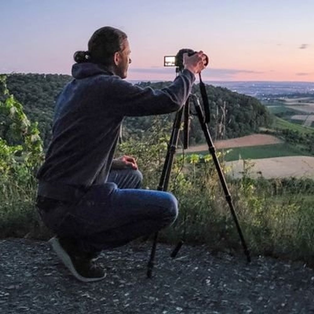
Landscape, weather, and timelapse photographer based in Seacoast Maine & New Hampshire. 2025 wall calendars available at http://robwrightimages.com
All about weather in Ludwigsburg,Solothurn and Stuttgart metropol area but also from all around the world.Loves nature and photography.Living in Ludwigsburg/Solothurn CH.All pics straight out of my camera.
https://photo-portal.shop/profiles/mpfotografie
Sr. Hurricane Specialist at NHC 🌀 | Ph.D + M.S. via UAlbany & B.S. via UNCA | Enjoy all kinds of weather 🌤❄️⛈🌪| Thoughts are my own
Storm Chaser, Children's book author, Storm Front Freaks Podcast host, STEM advocate, featured in Wired, GQ, GMA, USAToday, Bloomberg, Popular Science, and more
🌊 Meteorologist | 🤷🏼♀️ Obnoxiously overuse y'all | 💁🏼♀️ Specialize in sarcasm
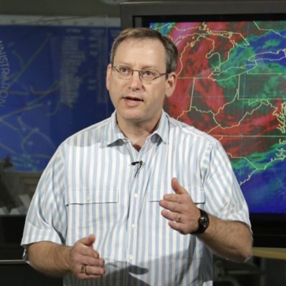
Chief Meteorologist
WLOX-TV
Mississippi Gulf Coast
Lecturer in Atmospheric Science, University of St Andrews. Large-scale weather & climate variability, prediction & change. simonleewx.com
Extreme weather guy. Acting as well. ATMO educated.
If it is out of the ordinary you know where to find me!
A normal atmosphere is no fun! Bring the extremes! Battle of the elements is the greatest show on earth.
Find me on YouTube from the field!
Meteorologist and Risk Communicator TX->OK->NY. He/Him/His. All opinions are my own. 🏳️🌈
🌞Aspiring meteorologist/Emergency Management Specialist
God 1st Always✝️
SELU '10| Penn State University '20
🏀=Pelicans/Jazz/Aces
🏉=Saints
⚾️=Astros/Braves
🏒=VGK
Music Buff
Community Service
Mental Health Advocate
Hurricane Specialist and Storm Surge Expert at Miami's WPLG-TV Local 10 News. Posts my own.
http://linktr.ee/michaelrlowry
Former Chief, Hurricane Specialist Unit, National Hurricane Center, NOAA/NWS (retired). Mostly weather posts, with occasional forays into grammar and usage, word play, and south Florida sports.
Weather-Climate professor and scientist, Host of Weather Geeks, Forbes Senior Contributor, Alpha, 3xFSU Alum...Tweets and RTs are mine but not endorsements
Extreme weather and climate change expert writing for Yale Climate Connections. Co-founder, Weather Underground; former hurricane hunter.
Meteorologist for Crown Weather. Avid amateur astronomer. Happily married for 15 yrs to @icecat516. Dog dad to 6 rescues. Bruins, Red Sox & Celtics fan. I live in Central Mass but have lived in Maine & New Hampshire.
Was On X/Twitter as @crownweather