I was going to call him #HorribleHouston.
But maybe #TimTheTyrant is better?
Or #TimTheTerrible?
Take your pick.
09.12.2025 23:19 — 👍 3 🔁 1 💬 1 📌 0
sigh...I doubt it's a joke. Unfortunately. Evidence? The russians were very happy with it.
What happened to Americans hating russians? Weren't all russians seen as evil communists a generation ago??
Regardless, I don't like this russia-us alliance that seems to be forming...
09.12.2025 02:39 — 👍 1 🔁 0 💬 0 📌 0

New US security strategy aligns with Russia's vision, Moscow says
The United States and Russia have officially formed an alliance against Europe, Ukraine, and Canada.
07.12.2025 16:43 — 👍 1113 🔁 614 💬 125 📌 97
What troubles me most is not that they are lying after being involved in a war crime but that 1) the US military remains silent when a probable war crime took place, and 2) this scuttles the hope some Canadians had that Trump's military would disobey illegal orders against Canada.
03.12.2025 01:06 — 👍 37 🔁 10 💬 3 📌 1
Two comments on the alleged "double tap" of a drug boat by the US military.
1. It's in the DoD War Manual that it is illegal: "orders to fire upon the shipwrecked would be clearly illegal"
2. Trump and Hegseth both say they did not issue an order to kill survivors. I simply do not believe them.
03.12.2025 01:06 — 👍 26 🔁 7 💬 2 📌 0
Wouldn't it be sad if some Canadian sabotaged these vehicles before they crossed the U.S. border...?
But yeah, we shouldn't be selling anything to ICE. Not even TP!
03.12.2025 00:22 — 👍 6 🔁 1 💬 0 📌 0

After today's rain, plenty of freezing of remaining moisture/puddles/etc tonight with low temps well below zero - coldest of the season so far for many in the map area: #nswx #pewx . Halifax urban area -5 to -9C.
01.12.2025 12:07 — 👍 12 🔁 5 💬 2 📌 0
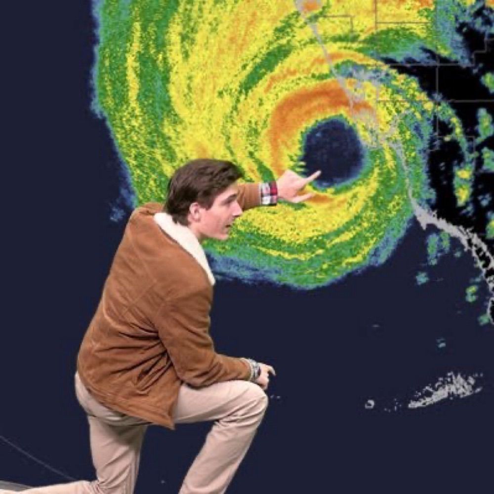
So many stunning images from the 2025 hurricane season, but this pass into Category 5 Melissa's eye by Air Force Hurricane Hunters on October 27th might be the most breathtaking I've ever seen. (video via FlynonymousWX on X)
30.11.2025 21:15 — 👍 36 🔁 9 💬 0 📌 1
The scenario from the RGEM looks very believable.
Rain along the coast, and the precip starting as rain inland, but turning to snow as heavy precip rates result in cooling of the air column late Tuesday night.
Given how wet this snow will likely be, I expect an SLR of 7:1 instead of 10:1. #NSwx
30.11.2025 12:07 — 👍 1 🔁 0 💬 0 📌 0
One thing that is working against this system being a big snowmaker, especially along the coast, is the lack of a high to the north.
Notice the pressures over Labrador on the models: 1014, 1016, 1017 mbar.
That's a weak Arctic high, which limits the amount of cold air available. #NSwx #NBwx #NLwx
30.11.2025 12:00 — 👍 1 🔁 0 💬 1 📌 0

ICON shows heavy rain across NS on Tuesday night, with snow in parts of NB.

Euro shows the centre near Sable Island, with a mixture of rain and snow over Nova Scotia.

GFS shows the centre of the storm just south of the NS coast, with heavy snow inland and heavy rain along the coast.

CMC shows the centre of the storm sliding along the coast, spreading rain across most of NS with some snow in NB on Tuesday night.
Looking at the possible #snow storm on #Wednesday for #NovaScotia.
We know: there will be a fairly potent low-pressure system then.
We don't know:
1) Where exactly will it track?
2) How deep will the cold air be?
This matters A LOT for who gets snow and who gets rain. #NSwx #NBwx #NLwx #PEwx
30.11.2025 11:55 — 👍 3 🔁 1 💬 1 📌 0
These AI-based models are effectively an advanced statistical model.
We've been using statistical weather models for decades now, and this is the logical progression.
I can see a future where we use both physics-based and AI-based models side-by-side for forecasting.
30.11.2025 11:45 — 👍 1 🔁 0 💬 0 📌 0
If you have seen the potential #snow storm for Wednesday in Atlantic Canada in the model runs, and want a deeper dive into what's going on here, Tomer's analysis is worth a read. It's centered on New England, but the big picture is the same.
#NSwx #NBwx #PEwx #NLwx #HaliSky
29.11.2025 00:05 — 👍 2 🔁 0 💬 0 📌 0
I think the PM knows that this deal won't happen.
When it fails, he'll just say "Well, Danielle, I did what I could. Take it up with BC and Indigenous peoples. It's up to them now."
29.11.2025 00:01 — 👍 4 🔁 0 💬 1 📌 0
I hear the Google DeepMind did really well this season with hurricanes.
Snowfall maps are also one of the worst to share at long range; they're tricky even in a short-term fcst:
1) How much precip will fall?
2) What's the SLR? Will it change throughout the event?
3) Will the snow melt on the ground?
27.11.2025 00:10 — 👍 1 🔁 0 💬 0 📌 0
Looks like yet another way Canada is quietly distancing itself from the US and aligning itself more with Europe. And I agree that we need to focus more on impacts and less on numbers and stats in weather communication.
Maybe @guardtheleaf.bsky.social would like to comment on this?
26.11.2025 19:28 — 👍 0 🔁 0 💬 0 📌 0
Only the GFS and the Euro show a major snowfall.
The CMC, ICON, and the Euro-AIFS show nothing.
If we weigh each model as being equally accurate, that's a 40% chance of a major snowfall, and a 60% chance of nothing.
For the general public?
Test your snowblower, but don't cancel Wed travel plans.
26.11.2025 13:15 — 👍 2 🔁 0 💬 1 📌 0
Yes, I did see the overnight model runs for next Wednesday, and no, I'm not going to post them.
It's too far out to be certain of anything: at this time range, all I can say is that there's a chance that the first major snowfall of the season for N.S. will be around that time. #NSwx #HaliSky
26.11.2025 11:38 — 👍 5 🔁 1 💬 1 📌 0
And what makes rapists? Entitlement.
25.11.2025 11:17 — 👍 3 🔁 0 💬 0 📌 0
The TACO man called us Canadians "Nasty" because we didn't agree to become the 51st state. We took it as a compliment.
If he calls Ukrainians "Nasty" because they don't give in to trump and putin's wishes of converting Ukraine into a russian puppet, that's the highest compliment.
21.11.2025 17:17 — 👍 0 🔁 0 💬 0 📌 0
That's bullying! Please, Zelenskyy, if by some miracle you are reading this... DO NOT agree! #TrumpIsATraitor
And for us Canadians, let's get the #Gripen ASAP and reject the #F16 deal. I'd trust Sweden far more than the USA under tRump. #ElbowsUp
21.11.2025 17:12 — 👍 1 🔁 0 💬 1 📌 0

Confirmed world record. #Hurricane #Melissa produced a wind gust reading of 252mph. A Hurricane Hunter dropsonde recorded this gust at 657 feet above the sea, breaking the old record of Typhoon Megi (248 mph in 2010). #wx
21.11.2025 13:59 — 👍 45 🔁 11 💬 2 📌 2
Trump's economy is being held up by a massive AI bubble.
A recent study found that of 300 companies that owned generative AI tools, 95% reported zero return on their investments.
We will not entertain a bailout of these companies should this bubble pop.
19.11.2025 16:01 — 👍 4304 🔁 1278 💬 139 📌 102
@mark-carney.bsky.social, how about getting those Gripens, eh? You said China is Canada's greatest long-term threat, so we really don't want them to know about our fighter's technology.
19.11.2025 15:43 — 👍 1 🔁 0 💬 0 📌 0
I have a brilliant idea: let's buy him, Danielle Smith, Doug Ford, and PP plane tickets to Mar-a-Lago. Only caveat? It's a one-way trip. I am sure they're going to become besties with TACO man in no time and live happily ever after.
19.11.2025 13:02 — 👍 6 🔁 2 💬 2 📌 0
Props to the @bsky.app creators for not using @cloudflare.social
18.11.2025 14:34 — 👍 35 🔁 7 💬 0 📌 0
Apparently Elsevier doesn't.
18.11.2025 14:31 — 👍 0 🔁 0 💬 0 📌 0
So far all the websites I have tried to access are working just fine. Maybe I just happen not to use websites that rely on Cloudflare?
18.11.2025 14:30 — 👍 0 🔁 0 💬 0 📌 0
The White House is objectively and demonstrably pro-sex trafficking
18.11.2025 11:37 — 👍 2422 🔁 887 💬 40 📌 17
Retired ECCC meteorologist, dedicated father, but not in that order. Skeptical of cynics, cynical about skeptics, exhausted by conspiracy theorists.
New England → Oklahoma ☈ OU Meteorology. Tropical Cyclone Enthusiast & Hurricane Researcher. A Boston boy living the Tornado Alley life!
Trucker that is fed up with MAGA nonsense.
https://youtube.com/@eatingthecats?si=vluTBXQX7jm_BJnt
Passion for people, politics and progress. Proud Mom, advocate for social justice, PR communications expert @ powergroup.ca, Current Affairs Pundit, former CBC Journalist, Host of The OShow Canada's Current Affairs Show. Subscribe on YouTube and Spotify 🇨🇦
Meteorologist and journalist. I cover wacky weather, changing climate, and how we live, love, work, get around, and dream.
Hurricane Specialist and Storm Surge Expert at Miami's WPLG-TV Local 10 News. Posts my own.
http://linktr.ee/michaelrlowry
This is Dalhousie University – one of Canada’s leading research-intensive universities, just steps from the ocean. 🌊
Mom . Wife . Educator . Chemist . Awesome
Representing over 5000 precarious academic workers in 5 bargaining units at Dalhousie University, Mount Saint Vincent University, NSCAD University, and Saint Mary's University.
cupe3912.ca
Official Nova Scotia Government Bluesky Account.
representing 1000+ professors, instructors, librarians and counsellors at Dalhousie University
Czar for life of all Russians. Master Strategist. Tea connoisseur. Author. YouTuber. Window installer. Wanted in 123 countries. Parody, apparently.
resting is resistance | 🇨🇦
Guard the Leaf is a proudly Canadian voice navigating the tensions, truths, and turning points between Canada and the U.S. From trade to travel, sovereignty to solidarity.
And I have a loud cat. 🐈
https://www.youtube.com/@GuardTheLeaf
Politics, author of Dangerous Memory: Coming of Age in the Decade of Greed. Meidas Canada/ The Resistance Lead singer with Grievous Angels. Just a boy from Cobalt.
Not a space for the cynical and snide.
Official account for Halifax Transit.
Call 311 or email contactus@311.halifax.ca for customer service. Visit our website at: halifax.ca/transit
Official account for the Halifax Regional Municipality. Not monitored 24/7. Need help? Call 311 or email contactus@311.halifax.ca. Call 911 for emergencies.
Check my regional weather blog - https://nlweatherweekly.com/
For Stupid Winter Stats - https://nlweatherweekly.com/stupid-winter-stats/
A facebook page for my blog - https://www.facebook.com/profile.php?id=61569292513494
Pierre Poilievre's taxpayer-funded bots succeeded in getting me permanently suspended from X.
X said it was because I used PP's pic on my profile.
I call "BULLSHIT."
Leader of the Nova Scotia NDP and MLA for Dartmouth South.