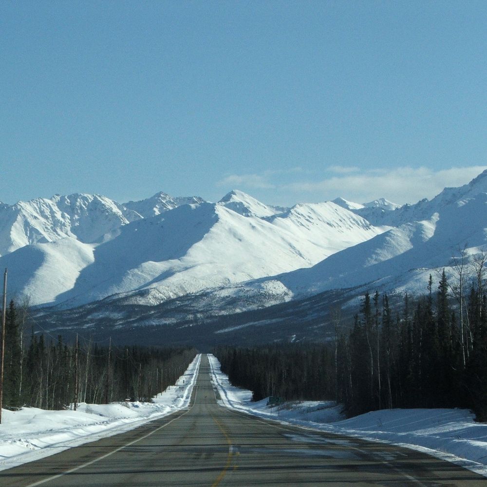
Screenshot of ASOS temperatures/winds just after noon 11/10
34F at KMPO and the mid 50s next door in the Tri-State area, winter is coming!
10.11.2025 17:22 — 👍 0 🔁 0 💬 0 📌 0
@robvk.bsky.social
Boston | Meteorologist | Air Quality Consultant | OU SOM '20 | Lyndon State '18 | Occasional DJ | Hudson Valley Native
Screenshot of ASOS temperatures/winds just after noon 11/10
34F at KMPO and the mid 50s next door in the Tri-State area, winter is coming!
10.11.2025 17:22 — 👍 0 🔁 0 💬 0 📌 0Hiding the replies calling out this engagement bait instead of owning up to a misunderstanding. Interesting look
27.10.2025 22:09 — 👍 16 🔁 1 💬 0 📌 0
Can this happen in January?
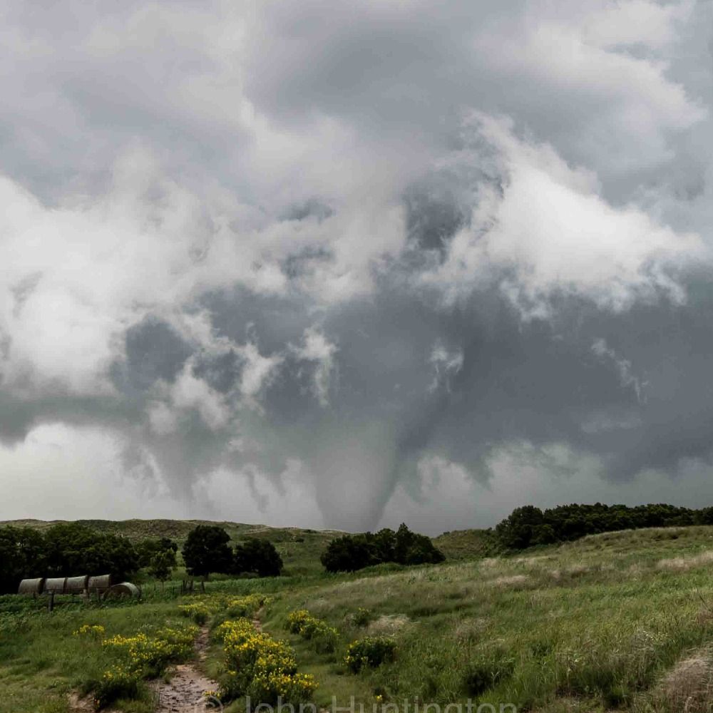
08.10.2025 18:07 — 👍 2 🔁 0 💬 0 📌 0Good insolation and time of day makes me think of a dust devil as the boundary layer deepens and mixes down some drier air (RH on a steady decline there). Maybe the camera shows it?
06.10.2025 19:51 — 👍 2 🔁 0 💬 1 📌 0
A statement I must make:
26.02.2025 22:22 — 👍 420 🔁 139 💬 23 📌 18As an aside, I just wanted to extend my sympathies to those affected by the federal layoffs yesterday. You and your work are valuable and needed; do not let the anti-intellectualism storming the nation now temper your fire to push the science and drive meaningful change. The fight continues.
14.02.2025 14:52 — 👍 1 🔁 0 💬 0 📌 0
Exciting prospects for a major east coast snowstorm next week on the overnight guidance. Good agreement between each ensemble suite - especially for a ~6 day leadtime - and these higher ceiling storms often materialize around then. But that doesn't guarantee anything, fingers crossed!
14.02.2025 14:52 — 👍 1 🔁 0 💬 1 📌 0Fri night might get close if the airport can decouple. Easier said then done though
23.01.2025 02:02 — 👍 0 🔁 0 💬 0 📌 0
Lafayette, Louisiana got more snow today than many northern cities have seen *ALL SEASON*
It's been 3 years since Boston had a snowstorm this large

Impressive concentric banding already underway in PA and MD
19.01.2025 19:13 — 👍 2 🔁 0 💬 0 📌 0
Core is dark red, broader definition light shaded
18.01.2025 18:35 — 👍 0 🔁 0 💬 0 📌 0Unfortunately seems like one of those cases where the magnitude of the low-level temp gradient will make the jump from near-no snow to warning level over a short distance.
Metrowest in the crosshairs, hoping for a near-benchmark pendulum swing tomorrow!
Since I did not upload the GIF correctly... here is the loop
16.01.2025 15:07 — 👍 0 🔁 0 💬 0 📌 0[2/2] This also may introduce more phasing between northern and southern stream impulses around the mean longwave trough later in the week. Notice how less stretched the trough/vorticity is already. Hoping this leads to a solid Miller A given the extreme continental>oceanic temperature gradient.
16.01.2025 15:01 — 👍 0 🔁 0 💬 1 📌 0
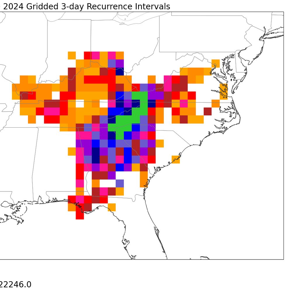
Latest six runs of the EPS 500mb Geopotential height and cyclonic vorticity averages fixed at 12z Tues Jan 21. Domain is all of North America
[1/2] The latest few cycles of the EPS have dramatically backed away from a cutoff southern stream in the Gulf of California next week at relatively short lead times (~130 hours). This is good news for wildfire relief efforts as it may reduce the severity of PGFs across the Transverse Ranges.
16.01.2025 15:01 — 👍 1 🔁 0 💬 1 📌 0
Big increase in east coast snow prospects on this morning's GFS ensemble. Many members and large MSLP spread near the benchmark with explosive deepening. Remains to be seen if this is an outlier run cycle, but this signal under 140 hours is exciting.
06.01.2025 16:55 — 👍 0 🔁 0 💬 0 📌 0Sable Island higher probs than Worcester, pure pain
02.01.2025 19:09 — 👍 1 🔁 0 💬 0 📌 0
12z HREF mean ensemble 1-hr snowfall valid 12z Tuesday 12/24 for the northeastern US (white Christmas eve?).
12z HREF members coming in more robust with morning snowfall as the shortwave moves through. Morning commute timing and brief but moderate snowfall makes for a potentially hazardous combo, especially given quick accum. on cold ground from the departing arctic air.
23.12.2024 16:55 — 👍 1 🔁 0 💬 0 📌 0
RTMA Temperature Analysis Valid 01z tonight for the Northeastern US
Getting Chilly out there!
23.12.2024 03:09 — 👍 0 🔁 0 💬 0 📌 0
Some solid ocean-effect has prompted NWS Norton to increase snow totals to advisory levels for eastern Mass
20.12.2024 15:40 — 👍 0 🔁 0 💬 0 📌 0
Euro Ensemble 850mb Temp Anomaly valid Sunday morning

Deterministic Euro 850mb temps valid Sunday morning

GFS Ensemble 850mb Temp Anomaly valid Sunday morning
Some proper arctic air on its way to the NE this weekend. The European suite is noticeably colder than the GFS suite however; deterministic ECMWF runs showing widespread -20C 850mb temps. GEFS keeps things more progressive. The downstream rapid-fire shortwaves contribute to these discrepancies.
16.12.2024 16:36 — 👍 2 🔁 0 💬 0 📌 0Hindsight skews public's perception of snowy or not -> only remember the big years. The 2010s spoiled us for sure
13.11.2024 17:37 — 👍 1 🔁 0 💬 0 📌 0