🎭 Autrice & performeuse
❤️🔥 ÉCOUTEZ BATTRE - à la Comédie des 3 Bornes
Linktree.com/Klaire
CEO of AgroClimat2050 | PhD in agrometeorology | Vice-President & Stormchaser Infoclimat |
Conference / Speaker #agriculture #globalwarming
Vice-présidente Assemblée nationale • Députée de Créteil, Choisy-le-Roi, Orly • Responsable du programme La France insoumise • Co-présidente Institut La Boétie
The #CopernicusClimate Change Service (#C3S) & #CopernicusAtmosphere Monitoring Service (CAMS), implemented by @ecmwf.int on behalf of the European Commission.
Computational geographer. Associate Professor at AMU, Poznan, Poland. Co-author of http://r.geocompx.org, http://py.geocompx.org, and http://tmap.geocompx.org books. #rstats #rspatial #geocompx
https://jakubnowosad.com/
🇬🇧 🇪🇺 physicist, philosopher, lead https://www.worldweatherattribution.org/, author of Climate InJustice https://greystonebooks.com/collections/current-affairs-politics/products/climate-injustice, she/her
Climate scientist, professor of Physics of the Oceans in Potsdam. Opinions my own.
Scientist @UMBC working at the intersection of #disasters #risk #wildfires #airquality and #remotesensing
Satellites, Sea, and Society! Bridging gaps between data providers and users @EUMETSAT & beyond. DEI, Mental Health, Open Science, Cooking, Wine, & LEGO. Views my own.
Research scientist in geospatial ecology | Ecosystem Remote Sensing🛰️🌍 | Forests, Savannas, and Drylands | Birds and Birding in the far south of Sweden 🐦🇸🇪 | الحمد لله | Own opinions, usual caveats.
https://www.cec.lu.se/hakim-abdi
🌏🛰️ #Earthobservation #remotesensing #geospatial #dronemapping | Co-founder She Maps and GeoNadir | Assoc/Prof JCU | she/her |🔗https://linktr.ee/drkjoyce
Remote Sensing expert @planetlabs #forest🌳 #LUC #carbon #supplychain | Geospatial Rising Star 2022 | @GoogleDeveloperExpert #EarthEngine, co-founder of geoinclusion and member of @rsategroup #earthobservation #Amazon #Cerrado
French lecturer in agronomy with teaching and research activities focused on soil sciences and remote sensing for crop monitoring.
Author of "Memo Visuel d'Agronomie", a book of agricultural data visualization.
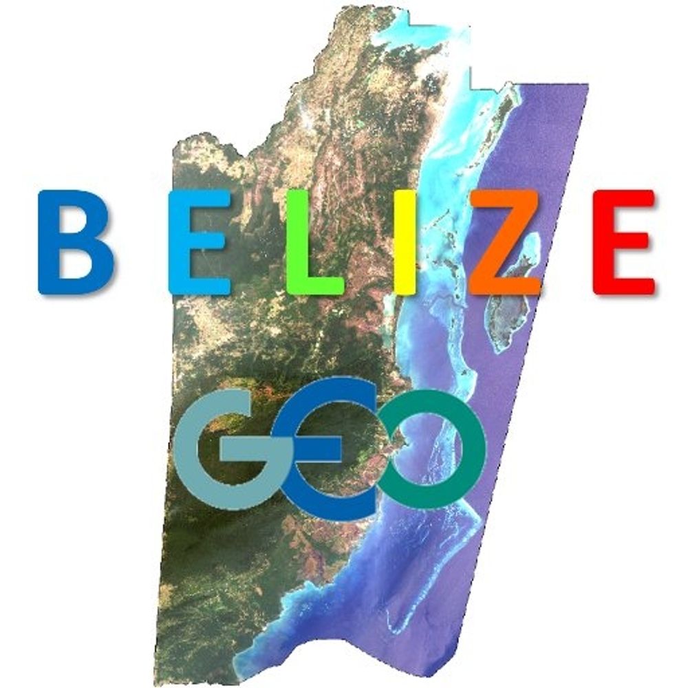
Belize GEO: Belize Group on Earth Observation & GIS. Shares SciComm re: EO, GIS relevant to Belize, the Caribbean, and other regions. Administered by a real live Belizean scientist.
Earth system data sciences Prof. @UniLeipzig @RSC4Earth related to @UFZ_de @iDiv @SCADS.AI, worried about climate extremes, biodiversity, the human-environment nexus and the 🌎's future in general. Editor @EnvDataScience
Associate Professor @UTKnoxville | Amazon Scholar | Creator of #geemap & #leafmap | Talk about #Geospatial #GeoPython #DataViz #GIS #FOSS #EarthEngine
Global Environmental Remote Sensing Laboratory
Biologist, earth observer, UAS/UAV/drones for ecology @eor-wuerzburg.bsky.social
Spatial Data Science, Earth Observation, Machine Learning 🌍🛰️⚙️ Animal-Environment Interactions Modelling, Sat./UAV Remote Sensing for Ecology.
Researcher & Lecturer @earth-observation.org, @uni-wuerzburg.de, #AniMove.
https://jakob.schwalb-willmann.de