WTO hands out first tranche of grants to help developing countries meet terms of fishing subsidy deal
A fund set up by the World Trade Organization (WTO) has handed out its first grants, including to Oman.
A fund set up by the World Trade Organization ( @wto.org ) to help developing countries adapt to an agreement on curbing harmful #fishing subsidies has handed out its first tranche of grants. www.seafoodsource.com/news/supply-... via @seafoodsourcerer.bsky.social
06.02.2026 17:14 — 👍 16 🔁 7 💬 0 📌 0

Even though fascinating science unknowns remain, we understand plenty about extreme weather and Earth's other powerful forces. More than enough to prepare, respond, and take actions now to reduce risk and increase safety. It was a strong message from scientists I interviewed for Dangerous Earth. 🧪🌎
08.02.2026 15:18 — 👍 16 🔁 3 💬 0 📌 0

⚠️ Potential danger: “Snowcrete” sliding off slanted roofs ❄️🧊
With temps rising above 32 today, be especially alert for snow and ice shedding from roofs of homes, schools, and businesses, it can pose a serious hazard.
Be alert for this and avoid prone areas.
Photo by Laurie McCartney Wehmeyer.
03.02.2026 15:30 — 👍 84 🔁 38 💬 4 📌 6
YouTube video by StormCenter Communications | GeoCollaborate
Coastal Storm Impacting GA to SE Virginia, Frigid Air In Place for Most of the Week in the East, Mil
Bomb Cyclone strikes with snow, strong winds and rising water, frigid air brings a deep freeze south to Florida in today's update for the All-Hazards Consortium. Also a look at coastal conditions with live webcam and ocean data and ice in Chesapeake Bay. 🧪❄️🥶🌊🌬️
www.youtube.com/watch?v=JJ-0...
31.01.2026 23:25 — 👍 22 🔁 6 💬 3 📌 0
YouTube video by StormCenter Communications | GeoCollaborate
East Coast Bomb Cyclone on Track to Impact Carolinas, SE VA and Cape Cod with Extreme Conditions
Monster storm on track to hit Carolinas, SE VA, and Cape Cod, snow, high winds, and big time coastal impacts along with extreme cold in today's update for the All-Hazards Consortium. Also good advice on power outages. Please stay aware, warm, and be safe. 🧪🥶❄️🌬️
www.youtube.com/watch?v=gcdk...
30.01.2026 22:12 — 👍 5 🔁 6 💬 0 📌 0
YouTube video by StormCenter Communications | GeoCollaborate
Major Impacts to Carolinas and Virginia, Cape Cod from Coastal Bomb Cyclone SISE Update
Coastal Bomb Cyclone to strike Carolinas, Virginia, and Cape Cod along with frigid temps continuing and diving south in today's update for the All Hazards Consortium. Snow, wind, high winds, and coastal erosion all in play. Please stay aware, warm and be safe. 🧪🥶❄️🌬️
www.youtube.com/watch?v=k6H1...
30.01.2026 00:29 — 👍 14 🔁 7 💬 0 📌 0
YouTube video by StormCenter Communications | GeoCollaborate
Bud Darr CLIA Port Safety Short #clia #weather #cruiseships #cruiseindustry #cruiseship
People often don't realize the importance of ocean data to industry and everyday life. Working with IOOS Association we're glad to be shedding light on its importance, here for cruise lines, and looking at the days ahead, for storm forecasting and response. 🧪🛳️🌊
www.youtube.com/shorts/lHG0H...
29.01.2026 13:42 — 👍 14 🔁 4 💬 0 📌 0
YouTube video by StormCenter Communications | GeoCollaborate
Massive Power Restoration Continues as a Potential Blizzard Develops Along Some Coastal Locations
Power restoration continues as potential blizzard develops in the East in today's update for All-Hazards Consortium. We'll be watching for strong winds, potential snow, high waves and coastal flooding, especially along NC coast with IOOS ocean data and webcams 🧪🥶❄️
www.youtube.com/watch?v=VDCh...
28.01.2026 23:41 — 👍 6 🔁 5 💬 1 📌 0
just a reminder: if fire hydrants near where you live are buried in snow after this week’s storms, it’s a mitzvah (and a gooooood workout!) to dig out around that hydrant so fire crews can get to it faster if need be.
28.01.2026 05:15 — 👍 7089 🔁 1184 💬 196 📌 39
YouTube video by StormCenter Communications | GeoCollaborate
Power Restoration Continues, Atmospheric River Begins in PacNW, Double Whammy in the East?? SISE
Power restoration, bitter cold, atmospheric river rushes in, and will there be a double whammy for the East this weekend all in today's update for the All-Hazards Consortium by @geocollaborate.bsky.social. Please stay warm and be safe. 🧪🥶🌧️❄️
www.youtube.com/watch?v=i8t0...
27.01.2026 23:22 — 👍 7 🔁 2 💬 0 📌 0
Check out the satellite images and explanations in this one. ❄️🧪🥶
26.01.2026 23:53 — 👍 8 🔁 3 💬 1 📌 0
YouTube video by StormCenter Communications | GeoCollaborate
Ice Storm Recovery, Atmospheric River on Approach and Next Week Storm Potential SISE Update
Extreme #ice damage and power outages as storm recovery begins, atmospheric river approaching Pacific NW and potential for another snow storm next weekend in today's update for the All Hazards Consortium. Please stay off icy roads, stay warm, and be safe.
www.youtube.com/watch?v=H2NV...
26.01.2026 23:52 — 👍 0 🔁 0 💬 0 📌 1
YouTube video by StormCenter Communications | GeoCollaborate
Massive Power Outages Due to Ice Storm While Snow, Sleet and Freezing Rain Hit in the East
Massive power outages and travel disruptions due to freezing rain, while sleet and snow continue in today's update for the All-Hazards Consortium. Continued impacts as storm lingers and frigid cold continues. Please stay off the roads and be safe. 🧪🥶❄️
www.youtube.com/watch?v=k2mM...
26.01.2026 00:08 — 👍 14 🔁 4 💬 0 📌 0
YouTube video by Big Island Video News
Eruption Update: Falling Volcanic Rock Closes National Park, Ashfall Alert (Jan. 24, 2026)
Latest eruption 🌋 Kilauea closes Park and roads due to falling volcanic debris (tephra) and ash, respiratory dangers. Nice report here.
youtu.be/a54-TgVvA64
25.01.2026 14:42 — 👍 0 🔁 0 💬 0 📌 0
YouTube video by StormCenter Communications | GeoCollaborate
Major Winter Storm is Underway, Catastrophic Ice and Bitter Cold Is Impacting Many States
Catastrophic ice, bitter cold, and major snow along with power outages in today's update for the All-Hazards Consortium by @geocollaborate.bsky.social. Travel dangers and impacts, along with how utilities are responding. Please stay aware and be safe. 🧪🥶❄️
www.youtube.com/watch?v=sBRz...
24.01.2026 23:52 — 👍 13 🔁 5 💬 0 📌 1
YouTube video by StormCenter Communications | GeoCollaborate
Major Winter Storm Developing and Widespread Damage Anticipated from Freezing Rain, Arctic Cold Take
Major winter storm with dangerous cold, #freezing rain, ice & double-digit snow accumulation in today's update for All-Hazards Consortium. Impacts may be catastrophic in some regions. Please stay off the roads, take care of yourselves, family, neighbors, & pets. 🧪❄️🥶
www.youtube.com/watch?v=d32k...
24.01.2026 00:32 — 👍 15 🔁 7 💬 1 📌 2
YouTube video by StormCenter Communications | GeoCollaborate
Major Winter Storm Will Impact 28+ States, Emergiencies Declared
Major winter storm impacting millions of people and emergencies declared in today's update for the All-Hazards Consortium by @geocollaborate.bsky.social. Dangerous and persistent frigid cold, freezing rain, and snow. Please stay aware, prepare, and be safe. 🧪❄️🥶
www.youtube.com/watch?v=oXsy...
22.01.2026 23:37 — 👍 10 🔁 4 💬 0 📌 1
@morningjoe-msnow.bsky.social @nbcnews.com this deserves media coverage even amid all the other bat-shit crazy stuff going on.
21.01.2026 15:04 — 👍 2 🔁 2 💬 0 📌 0
@audiecornish.bsky.social @CNN this deserves media coverage.....
21.01.2026 15:02 — 👍 0 🔁 0 💬 0 📌 0
Replace those in office as soon as possible and educate voters why their vote matters
21.01.2026 12:28 — 👍 1 🔁 0 💬 0 📌 0
Hard not to feel despair and anger over this, but also resolve to fight for science and our country. Do what you can, however little you think it is. Let your elected officials know how you feel. 🧪
21.01.2026 09:51 — 👍 13 🔁 6 💬 1 📌 0

Promotional poster featuring a sea turtle swimming underwater, celebrating the implementation of the High Seas Treaty. Text on the image reads: 'A Historic Day for the Ocean. The High Seas Treaty has officially entered into force. #60toGlobal.' Credit: Dani Escayola/Ocean Image Bank.
⏳ Years of negotiation, advocacy & collaboration have led to this historic moment!
The #HighSeasTreaty is now in force, a testament to the leadership of governments, civil society, Indigenous leaders, scientists & many more ocean champions everywhere. #60toGlobal @highseasalliance.bsky.social
17.01.2026 13:25 — 👍 11 🔁 4 💬 0 📌 0

Image of a sea turtle swimming underwater with text announcing 'A historic day for the ocean: The High Seas Treaty has officially entered into force #GoToGlobal.' Credit: Dan Escoyola/Ocean Image Bank
🌊 A historic day for the ocean!
The #HighSeasTreaty has officially entered into force, a win for multilateralism and for our blue planet.
Next step: universal ratification! We call on remaining governments to ratify now!
17.01.2026 13:44 — 👍 32 🔁 7 💬 0 📌 1
YouTube video by StormCenter Communications | GeoCollaborate
Dangerous Cold Air is Crashing through the Upper Mid West and Headed East, Some Snow but Nothing Big
Dangerously cold air, strong winds in the upper mid-west and headed east, but not too much snow in today's update for the All-Hazards Consortium by @geocollaborate.bsky.social. Where snow squalls and wind create dangerous driving, please stay safe and stay warm. 🧪🌬️🥶
www.youtube.com/watch?v=BcWV...
16.01.2026 22:44 — 👍 12 🔁 2 💬 0 📌 0
"Tripling renewables, doubling energy efficiency and cutting methane by 2030 and beyond would cut warming rate by a third in ten years, and halve it by 2040."
15.01.2026 20:37 — 👍 146 🔁 73 💬 1 📌 4
Here's the data:
15.01.2026 01:22 — 👍 380 🔁 186 💬 8 📌 11
Official Bluesky account for NOAA's National Weather Service.
Physics/thermodynamics dumb, Marine energy PhD, AI stuff, etc
Opinions/Grammars/Typos are MINE!
Git: https://github.com/jm-rivcam
Blog: https://magentandcyan.wordpress.com
Ocean-Atmosphere/Engineering/Quantum lists/feeds
Location: the lands in the west
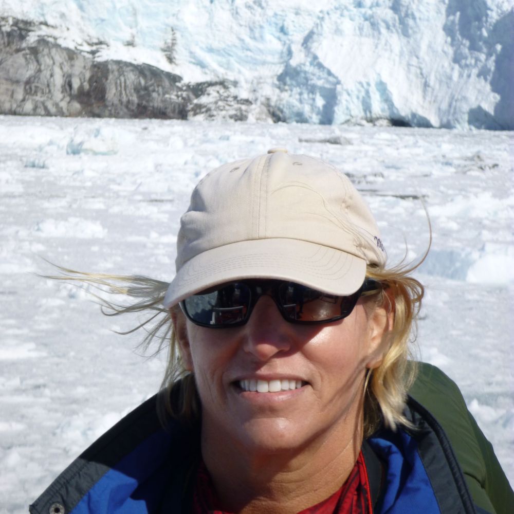
Assiduous dendroglaciologist, moraine lover, wandering geomorphologist, living in the Holocene, climate (and eco-) anxious, @edytem.bsky.social
https://www.researchgate.net/profile/Melaine-Le-Roy-2?ev=hdr_xprf
Climate Scientist at @climatecentral.org | PhD | Passionate about improving science communication through data-driven stories | Harrisburg, PA | https://zacklabe.com/
Views, thoughts, and opinions expressed here are only my own.
The Ocean Advocate's goal is to help cultivate a growing movement of people of all ages and from all regions who feel connected to the sea and inspired and empowered to take action to protect our life-giving ocean.
Learn about it. Love it. Look after it.
Non-profit media studio from filmmaker Adam McKay (Don’t Look Up) challenging the existential threat of polluter BS.
🎬 Coming in 2026:
yellowdotstudios.com/you-need-this/
youtube.com/@Heated.Conversations Season 2
We're a group of American millionaires fighting to tax the rich, pay the people, and spread the power!
Smart Brevity worthy of people's time, attention and trust.
Subscribe to our newsletters: https://trib.al/8haeaPt
U.S. Senator from New Jersey.
Extreme Life of the Sea
Death and Life of Monterey Bay
Microdocs.org
#oceanwildlife
Bridging Science and Policy for a Healthy Ocean 🌊 https://stateoftheocean.org
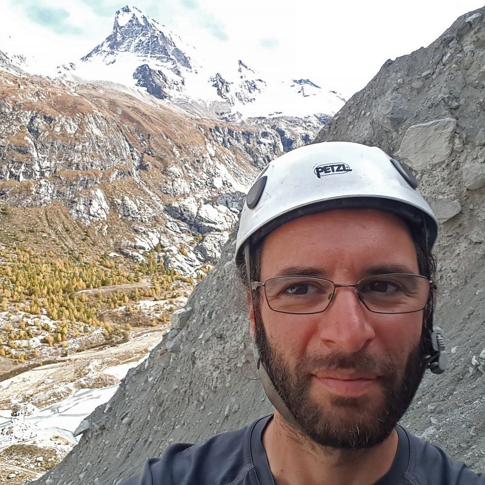
Kiwi volcanologist working on Ngāuruhoe (Mt Doom) in NZ, the 2021 La Palma/Tajogaite eruption impacts, seafloor geologic hazards I 'On Shaky Ground' writer
Husband, dad, veteran, writer, and proud Midwesterner. 19th US Secretary of Transportation and former Mayor of South Bend.
Professor and Endowed Chair. Polar environments, Earth System Science, water/lakes/ice, hydology, ecosystems, astrobiology and protecting planets. Made in Canada. Opinions are mine and mine alone https://www.lsu.edu/science/geology/people/faculty/doran.php
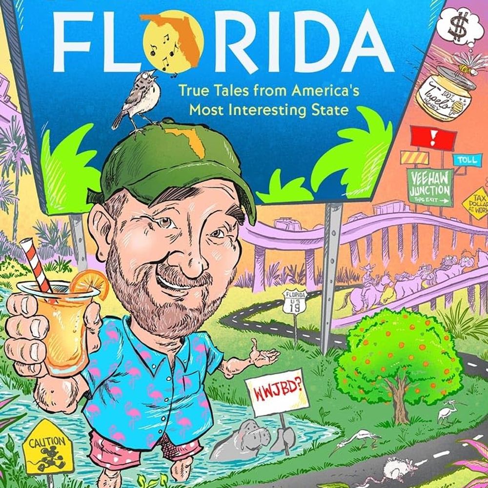
WELCOME TO FLORIDA now available! Other books: NYT bestseller OH, FLORIDA! & CAT TALE. Columnist, Florida Phoenix. Florida man.
Founder @democracydocket.com. Chair of Elias Law Group. My dog's name is Blue.
I make Dad jokes on NPR and also write books and other things.
Berkeley professor, former Secretary of Labor. Co-founder of @inequalitymedia.bsky.social and @imcivicaction.bsky.social.
Substack: http://robertreich.substack.com
Buy my new book: https://sites.prh.com/reich
Visit my website: https://rbreich.com/
UW prof and director of the Pacific Northwest Seismic Network. WA State Seismologist. All about subduction zones and very messed up rocks.