Wind Forecast:
Unsettled conditions will persist across the S UK & Ireland overnight. However, there exists a region of high interest across S England where there is the potential for a brief spell of strong winds - but large uncertainty remains in where this occurs.
26.01.2025 17:02 — 👍 4 🔁 0 💬 0 📌 0

Severe Weather Forecast:
2 main severe weather threats across the S UK during the next 24 hours. Large Uncertainty exists in the Red Zone, but the potential for severe weather is higher here. The blue zone has better confidence but any severe weather will be very hit and miss.
26.01.2025 17:02 — 👍 11 🔁 2 💬 1 📌 0
youtube.com/watch?v=Z8CN...
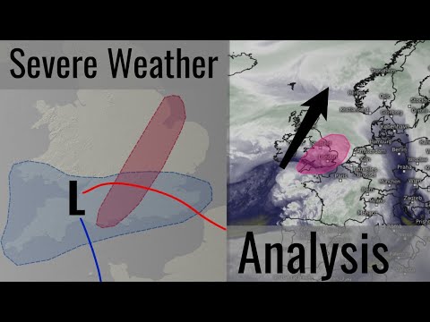
Latest video is a detailed discussion on today's and tomorrow's severe weather threat, likely to be focused across Southern England.
26.01.2025 16:56 — 👍 4 🔁 1 💬 0 📌 0

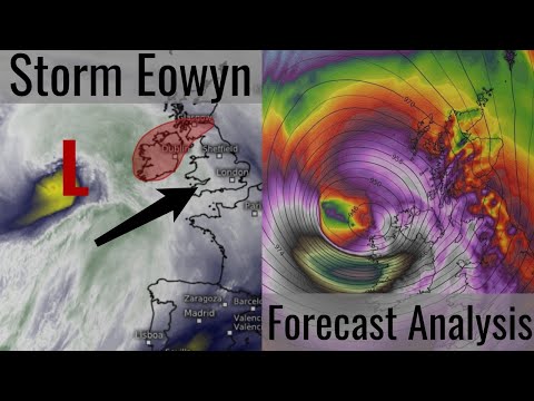
Storm Eowyn Forecast:
A major, generational, weather event is expected across the Republic of Ireland & the UK during tomorrow. Dangerous, hurricane conditions are likely across the Irish West Coast early on, with severe winds spreading into the rest of the UK & Ireland later.
23.01.2025 20:45 — 👍 2 🔁 0 💬 0 📌 0
youtube.com/watch?v=IGJo...
Latest video is a detailed analysis of dangerous Storm Eowyn: Breakdown of live observations and model output, with my latest thoughts on the forecast.
23.01.2025 20:43 — 👍 2 🔁 0 💬 0 📌 0


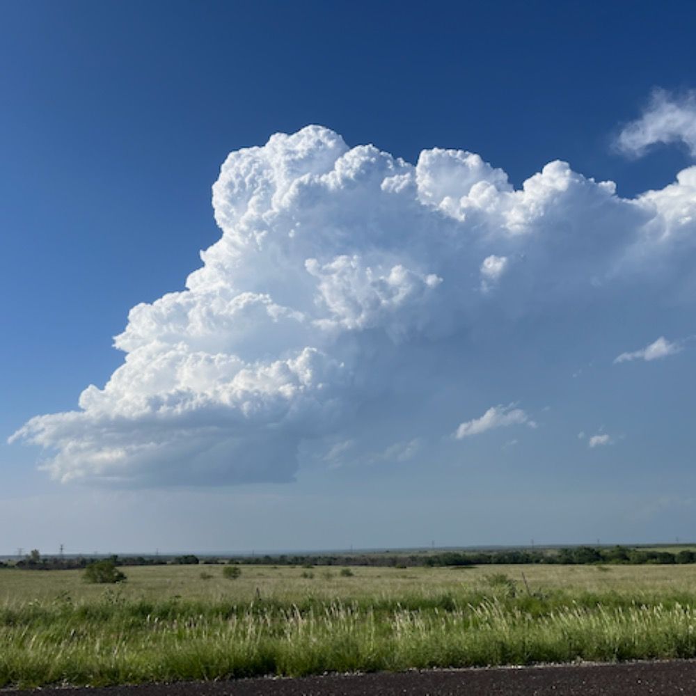
Definitely keeping an eye on areas in S England: Super diffluent exit of the mid-level jet co-located with a surface trough should favour storms that have the potential to develop rotation. Very strong low level shear will support this risk with associated tornado potential.
23.01.2025 07:08 — 👍 2 🔁 0 💬 0 📌 0

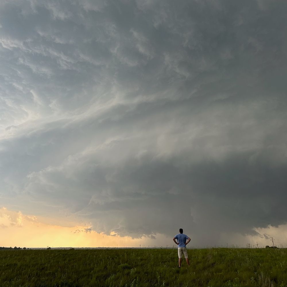
Severe Weather Risk: 8am-5pm Today
A band of convection will move East across the Southern UK through today, potentially developing into severe storms. Strong wind gusts, perhaps >60mph, and a few tornadoes will be possible.
23.01.2025 07:08 — 👍 5 🔁 0 💬 1 📌 0


I will try have graphic/maybe a video out tomorrow morning for the tornado/severe weather risk.
But in case I don't manage too - upper level & surface pattern support what could be quite a severe threat with a line of very strongly sheared storms moving with a surface trough.
22.01.2025 22:19 — 👍 2 🔁 0 💬 0 📌 0
YouTube video by MetWeather
Storm Eowyn: Severe winds, Snow and Storm Surge to impact the UK & Ireland on Friday
www.youtube.com/watch?v=1yIz...
Storm Eowan forecast:
Latest YT video detailed look on the formation, intensity, and impacts from this significant storm on Friday.
22.01.2025 20:57 — 👍 2 🔁 0 💬 0 📌 0

UKV 15z had a very extreme feature in the Channel on Monday. Not worth getting worried about at this point - small, secondary lows are often very hard to forecast and confidence is currently v low.
Wasn't the only model though - 00z GEM and GFS had similar. Worth watching imo.
22.01.2025 19:34 — 👍 8 🔁 1 💬 1 📌 0
All this will be pushed into a coastline with plenty of W/SW facing inlets and bays (e.g. Galway Bay). The saving grace may be the fact low tide is currently expected to coincide with peak winds (around 7AM). But probably best to take any sort of flood warnings very seriously.
22.01.2025 19:34 — 👍 1 🔁 0 💬 0 📌 0


Somewhat concerned about the potential for severe coastal flooding/storm surge on the west coast of Ireland on Friday morning.
Pressure <955mb, wind gusts well over 100mph and sustained winds of hurricane force currently being modelled quite consistently.
22.01.2025 19:34 — 👍 6 🔁 2 💬 1 📌 0

Storm Eowyn: Forecast Update 1
Storm Eowyn is currently expected to bring exceptionally strong winds to parts of the UK & Ireland, though uncertainty remains on the exact location and strength of the strongest winds. As such, this forecast is more confidence based as opposed to wind gust based.
21.01.2025 18:26 — 👍 5 🔁 1 💬 0 📌 0
Happy new year everyone!
01.01.2025 00:26 — 👍 3 🔁 0 💬 0 📌 0
YouTube video by MetWeather
Cold Spell Likely, but what about Snow? - Detailed Weather Forecast
www.youtube.com/watch?v=sfa-...
Latest YouTube video is a slightly more detailed look at the upcoming weather pattern and the current potential for any snow risks.
31.12.2024 12:48 — 👍 2 🔁 0 💬 0 📌 0
Naturally, uncertainty is quite high with patterns such as these, so forecast is subject to change.
29.12.2024 13:48 — 👍 1 🔁 0 💬 0 📌 0

Arctic blast seems likely in the US around the 4th of Jan which would take a couple days but charge up the Jet Stream.
Would take pretty robust blocking (18z GFS) to prevent this turning our weather milder/unsettled (6z GFS) so keeping an eye on 7/8th for the end of any cold.
29.12.2024 13:48 — 👍 1 🔁 0 💬 1 📌 0


Cautiously optimistic on the possibility of *slightly* more prolonged cold into January, driven by renewed blocking across the North Atlantic.
While uncertain, risk is highest across the North with possible mild incursions in the South 4-6th. Significant snow likely on the 1st.
29.12.2024 13:48 — 👍 3 🔁 0 💬 1 📌 0
So for now, instead of focusing on specific model output, be aware that there is a risk of snow on Jan 1st, currently highest across Northern areas, that is subject to change. Higher confidence will allow details to be confirmed as we approach Wednesday.
28.12.2024 11:49 — 👍 2 🔁 0 💬 0 📌 0

A fairly interesting signal starting to emerge on the ECM mean pressure chart for the first week of Jan, with high pressure building across the N Atlantic.
Too early for specifics, but perhaps an increased risk of cold weather in the New Year, especially in the North.
And thanks for 100 followers!
22.12.2024 17:04 — 👍 4 🔁 0 💬 0 📌 0


It's worth keeping a fairly close eye on Saturday across the Northern half of Scotland - some models suggesting the potential for very strong winds, others slightly less so but it will be unsettled regardless.
Will have to watch for trends in the models as they will start to converge fairly soon.
17.12.2024 20:46 — 👍 4 🔁 0 💬 0 📌 0

Modelling is beginning to look increasingly "blocky" in the last few runs, i.e not a typical flat jet as you'd usually expect in December.
I suspect the MJO & AAM influence is beginning to come through, no significant cold *currently* on offer though.
11.12.2024 20:04 — 👍 21 🔁 2 💬 2 📌 0
Thank you 😄
11.12.2024 21:01 — 👍 1 🔁 0 💬 0 📌 0

Here's a look at all named storms that have impacted the UK since official naming began in 2015, including some named by other forecasting centres, coloured by the highest warning level issued.
The storm season runs each year from September through to the end of August the following year.
09.12.2024 16:29 — 👍 37 🔁 14 💬 4 📌 1

Today's storm in the UK stacked up against a few notable ones - plus Bert from earlier this winter. Looks like a good blow for SW / Wales. Away from the SW: quite a few other storms (Daria, Jeanett, Kyrill, Eunice) are likely far more impactful: from wind impacts at least #Darragh #StormDarragh
07.12.2024 11:40 — 👍 19 🔁 5 💬 2 📌 0

BREAKING: 2024 is now certain to be the warmest year in recorded history with an expected global average temperature of 1.60C marking the first full calendar year to exceed 1.50C.
Global temperatures remain significantly above where they should be despite El Nino having faded.
09.12.2024 09:42 — 👍 56 🔁 23 💬 1 📌 1
Forecaster. Storm and sky enthusiast. Occasional adult.
forecast.twodogswx.net
https://github.com/adlyons
For Pics &
Youtube.com/twisterkidmedia
For tornado videos
Bad opinions are my own.
Amateur forecaster | providing updates on UK severe weather, Flooding and Atlantic tropical activity | Feel free to message me any questions!☀️🌤️⛈️
ITV Meteorologist and Weather Presenter
Previously Met Office
STEM Climate Ambassador
All views my own. He/him 🌈☀️
chrispage.co.uk
Our aim is to provide realistic weather information based on the latest available information.
Met Office Deputy Chief Meteorologist @metoffice.gov.uk ⛅
Weather Images Editor, RMetS journal "Weather" https://www.rmets.org/weather 📖
Research: http://tinyurl.com/wxresearch 📈
Storm Chaser 🌩🏃
Own views
Catastrophe / climate risk / data viz at OAK Re
Visiting Research Fellow & PhD @ University of Reading
Associate Editor RMetS Weather. FRMetS.
Otherwise eating noodle soup or watching cricket
Own opinions etc. etc.
Jamie.
BSc Environmental Science Student at University of Reading.
Avid weather nut from coastal Kent doing weather updates for the SE.
Space weather & astronomy thrown in whenever that looks interesting too!
metjam.co.uk
Energy Meteorology & Adventuring
Yarmouth, ME | Boston, MA | Wherever it's snowing
NW England weather forecaster based in Oldham.
Site Investigator for TORRO UK.
Weekly Blog: https://oldhamweather.blog/
That in the sky is a contrail. Nothing else.
A real-time map of where it's snowing in the UK - https://uksnowmap.com - a project by @benmarsh.com
Bringing the weather without the hype → UK severe weather → Tackling climate misinformation → Thunderstorms & snow outlooks
Not Official || UK Weather Updates 🌤️ Please refer to Met Office for official warnings
UK Met Office Meteorologist and Weather Presenter
Met head, weather fella. Likes sport and food too. You’ll see me on Met Office social media channels.
The official account of WeatherQuest - a weather forecasting and analysis company based in Norwich, UK
Hardcore hurricane chaser. Mississippi transplant. Righteous Bay Rat. The #HurricaneMan. Star of series #MissionHurricane.
Amateur weather enthusiast from Wakefield. Providing balanced UK weather commentary, frequent severe weather updates, model insights & severe weather graphics.
A privately supported organisation, founded in 1974, which carries out research into high impact convective weather in the UK.
www.torro.org.uk